CCRT - Gratiot to Darlington
Total Miles
10.1
Technical Rating
Best Time
Spring, Summer, Fall, Winter
Trail Type
50" Trail
Accessible By
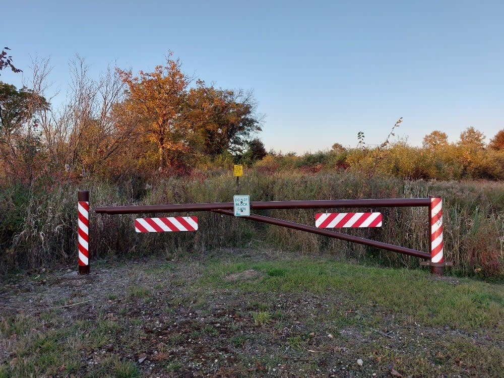
Trail Overview
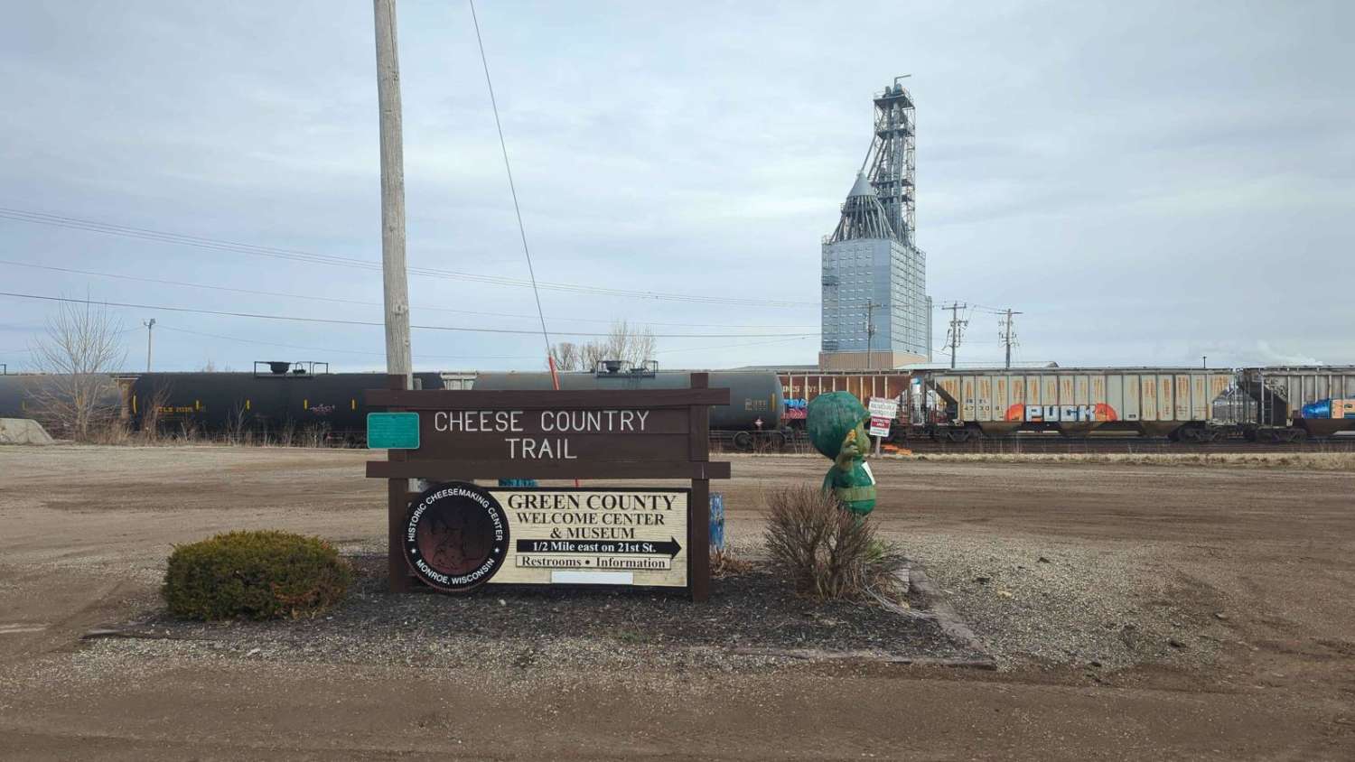
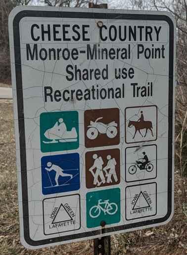
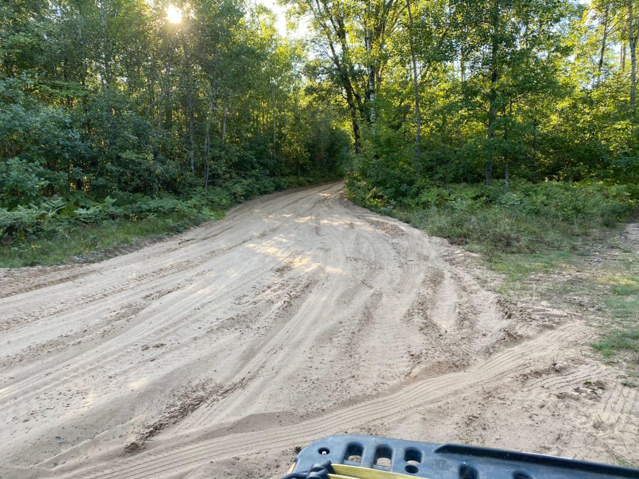
CCRT - Gratiot to Darlington is a 10-mile point-to-point trail rated 2 of 10 located in Lafayette County. This is a well-maintained trail consisting of crushed stone and gravel. This section of the CCRT is the longest section between communities. It is also the easiest section to travel, as there are long straight runs across rolling farmlands. Several swamp/bog areas along the trail may flood over banks onto the trail after significant rain. This multi-use trail is open to ATVs, UTVs, dirt bikes, mopeds, motorcycles, horses and horse-drawn buggies, bicycles, and hikers. However, once there is 1 inch or more of snow on the trail it closes to ATV/UTV use. After 4 inches of snow is on the trail, it opens to snowmobiles. Always check the TriCounty ATV website for current trail status as the trail may be closed at any time when conditions deteriorate (http://www.tricountyatv.org/trail-updates-and-map.html). All of the towns along the CCRT are ATV/UTV-friendly with signage posted showing ATV routes, making it easy to stop and shop. No motorized travel is permitted on the CCRT from 1 am to 5 am. ATV/UTV road travel restrictions differ in each community and are usually posted on ATV signs. Cell phone service is generally good along the entire trail. The nearest services are located within each of the communities along the trail. Cheese Country Recreation Trail stickers are required for motorcycles, mopeds, golf carts, and dirt bikes, as well as bicyclists and horseback riders ages 18 and older. ATVs and UTVs are not required to have a Cheese Country sticker, although they do need an in-state DNR registration sticker.
Photos of CCRT - Gratiot to Darlington
Difficulty
This trail is all maintained Rails to Trails packed gravel.
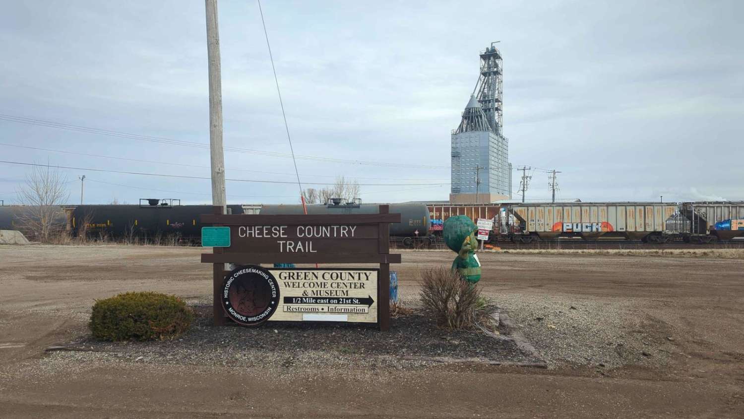
History
ATVs/UTVs and Off-Highway Motorcycles operating on the CCRT that meet the statutory definition are required to be registered for public use in the state of Wisconsin (residents only). Non-residents bringing an ATV or UTV into Wisconsin from their home state can operate their ATV or UTV on designated ATV/UTV corridors and frozen waterways with either a non-resident ATV/UTV trail pass affixed to the ATV/UTV or the operator has a valid non-resident 5-day trail use receipt. For additional information provided by the Wisconsin Department of Natural Resources: https://dnr.wisconsin.gov/permits/registrations. This 47-mile trail meanders through the heart of southwest Wisconsin's Driftless Area, noted for its rolling hills and rocky outcroppings left untouched by glaciers. It follows the corridor of the Chicago, Milwaukee, St. Paul, and Pacific Railroad, which stopped using it in 1980. In addition to the graded route between Monroe and Mineral Point, the railroad left behind dozens of bridges.
Status Reports
CCRT - Gratiot to Darlington can be accessed by the following ride types:
- ATV (50")
- Dirt Bike
CCRT - Gratiot to Darlington Map
Popular Trails
La Salle Trail
BRST: Osseo to Sturm
Dead End Road
CCRT - Monroe to Browntown
The onX Offroad Difference
onX Offroad combines trail photos, descriptions, difficulty ratings, width restrictions, seasonality, and more in a user-friendly interface. Available on all devices, with offline access and full compatibility with CarPlay and Android Auto. Discover what you’re missing today!