FR 2408B
Total Miles
2.0
Technical Rating
Best Time
Spring, Summer, Fall, Winter
Trail Type
Full-Width Road
Accessible By
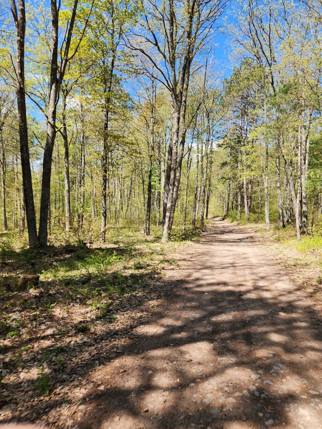
Trail Overview
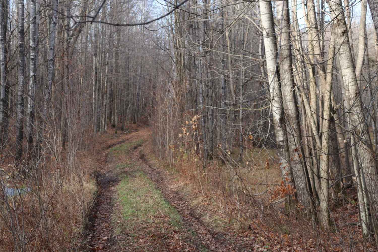
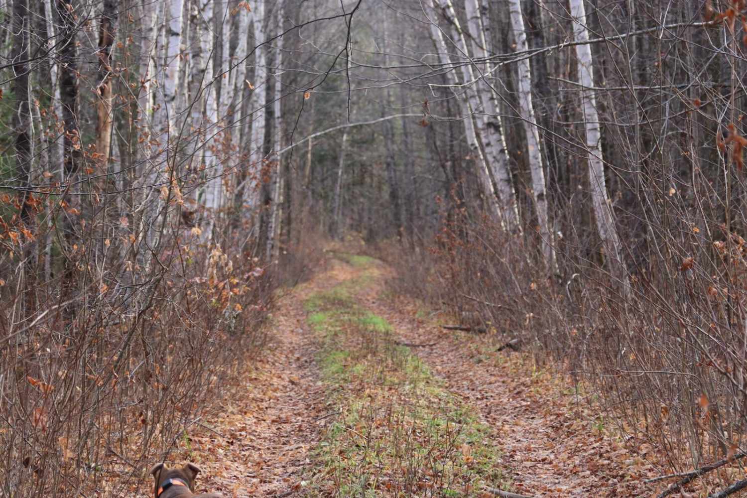
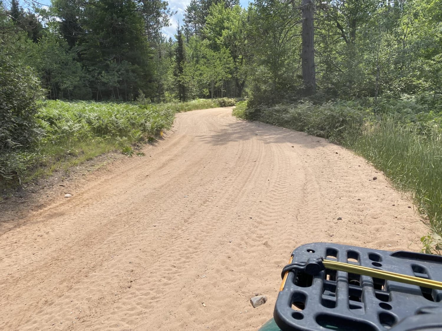
This trail is two miles out and two miles back with mixed gravel, dirt, and mud. The road was recently graded up to the 1.5-mile marker, after which it narrowed down to a very tight two- track. There are a couple of very gradual hills on this route but is overall a flat trail.
Photos of FR 2408B
Difficulty
This is a narrow trail, it is single vehicle wide, with some smaller water and mud holes less than 12" deep. At the time of mapping the freshly graded surface was very muddy but only the top 1-3".
History
At the time of mapping, Fall 2024, the trail was in use for logging and had been graded for logging trucks. There are several old closed trails that are only used for logging every 20-30 years.
Status Reports
FR 2408B can be accessed by the following ride types:
- High-Clearance 4x4
- SUV
FR 2408B Map
Popular Trails
Keyes Lake Loop
Tuscobia State Trail - Park Falls to Loretta

Trail 16 Tower Road
The onX Offroad Difference
onX Offroad combines trail photos, descriptions, difficulty ratings, width restrictions, seasonality, and more in a user-friendly interface. Available on all devices, with offline access and full compatibility with CarPlay and Android Auto. Discover what you’re missing today!