Dungood Trail
Total Miles
8.3
Technical Rating
Best Time
Summer, Spring, Fall
Trail Type
60" Trail
Accessible By
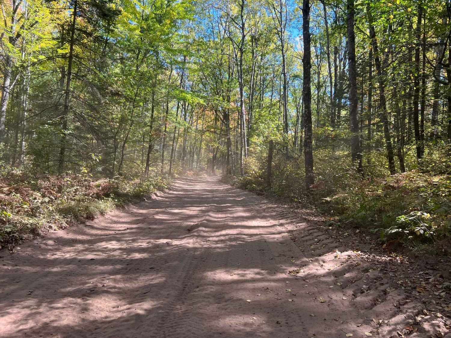
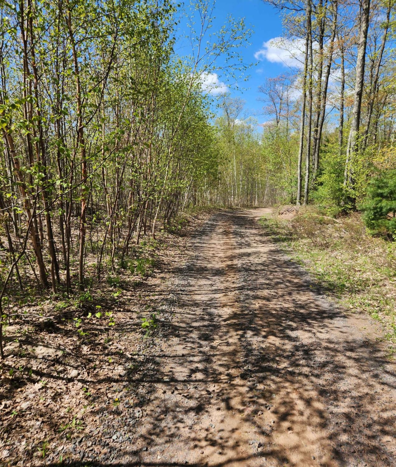
Trail Overview
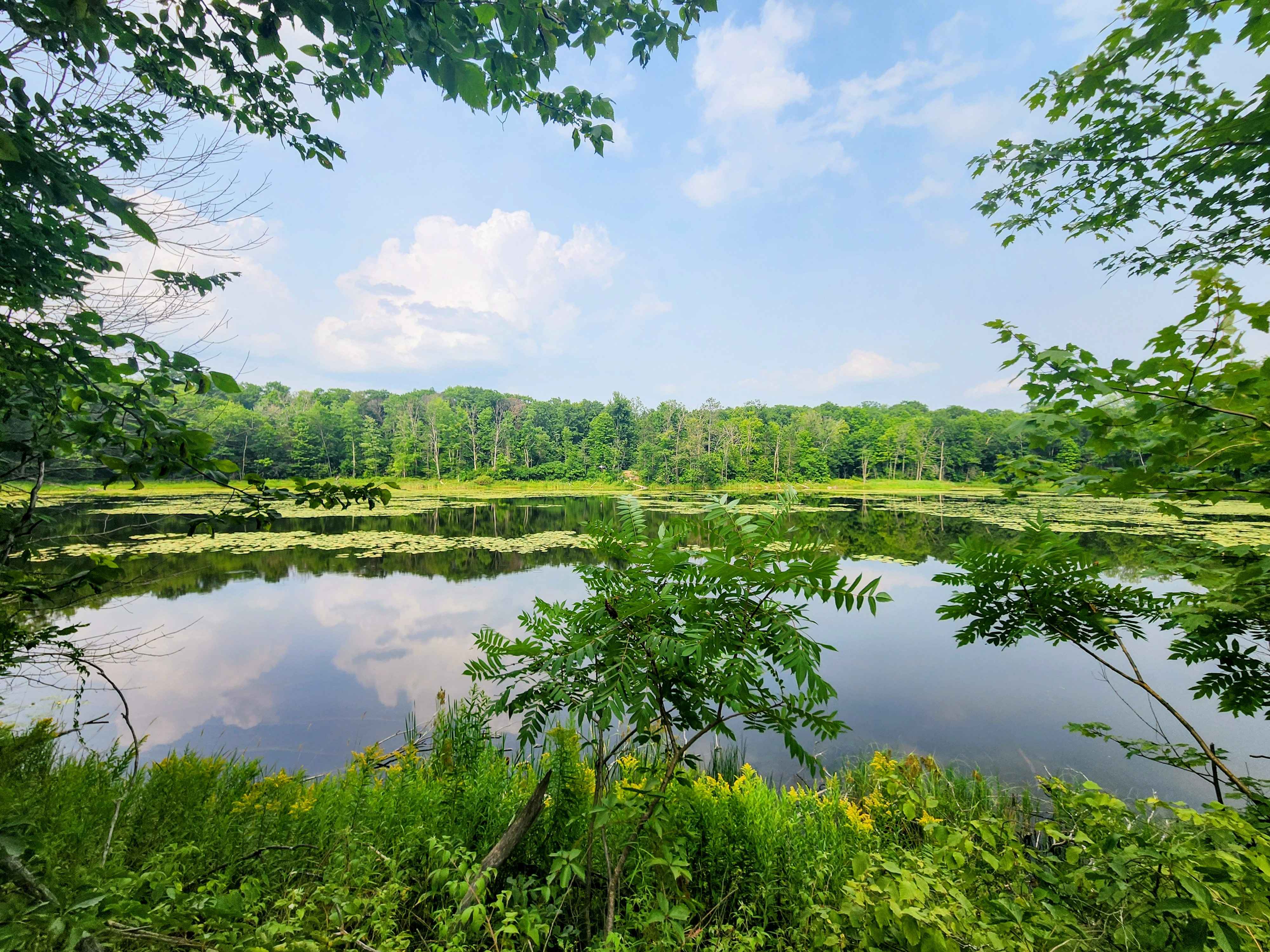
If traveling this trail west to east, it will first start out heading through a short section of private land, and timber trusts. There is a 10MPH speed enforcement in some of these areas so be sure to obey the posted limit. From there the trail will enter into the forest, where the trail will become significantly tighter. There is enough room for machines to pass each other at slow speeds. The trail will then navigate to a section that runs under the high lines, then enter back into the woods. The scenery along the trail is great with the natural rolling hills of the landscape in this area. The trail surface is mostly sand, with some small sections of gravel or small, to medium-sized rocks mixed in throughout. There are several areas of this trail that are on private property, be sure to obey the posted speed limit, and stay on the trail!
Photos of Dungood Trail

Difficulty
This trail can be easily navigated by riders of all skill levels. Caution will need to be taken in some of the wooded areas, as the trail can become very tight. Sight lines are poor to good depending on the area of the trail being ridden. Some areas that contain small to medium-sized rocks can pose a slight challenge to less experienced riders, as they can be a point for loss of control, as well as pinch flats. These trails are groomed day and night so be sure to always watch for the groomer. When areas have gone ungroomed, sections of washboard trail will be noticeable.
Status Reports
Dungood Trail can be accessed by the following ride types:
- SxS (60")
- ATV (50")
Dungood Trail Map
Popular Trails
Bayfield Timber Trail

Goodman Park Road - FS 2136

The onX Offroad Difference
onX Offroad combines trail photos, descriptions, difficulty ratings, width restrictions, seasonality, and more in a user-friendly interface. Available on all devices, with offline access and full compatibility with CarPlay and Android Auto. Discover what you’re missing today!