GG to Highbridge
Total Miles
11.3
Technical Rating
Best Time
Summer, Fall
Trail Type
Full-Width Road
Accessible By
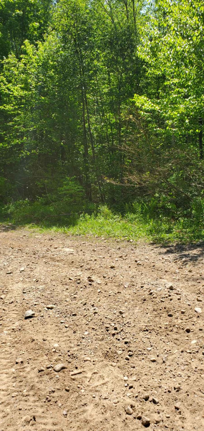
Trail Overview
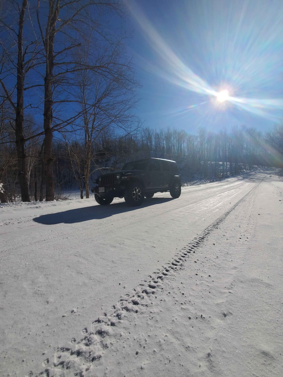
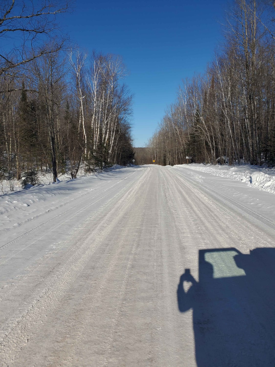
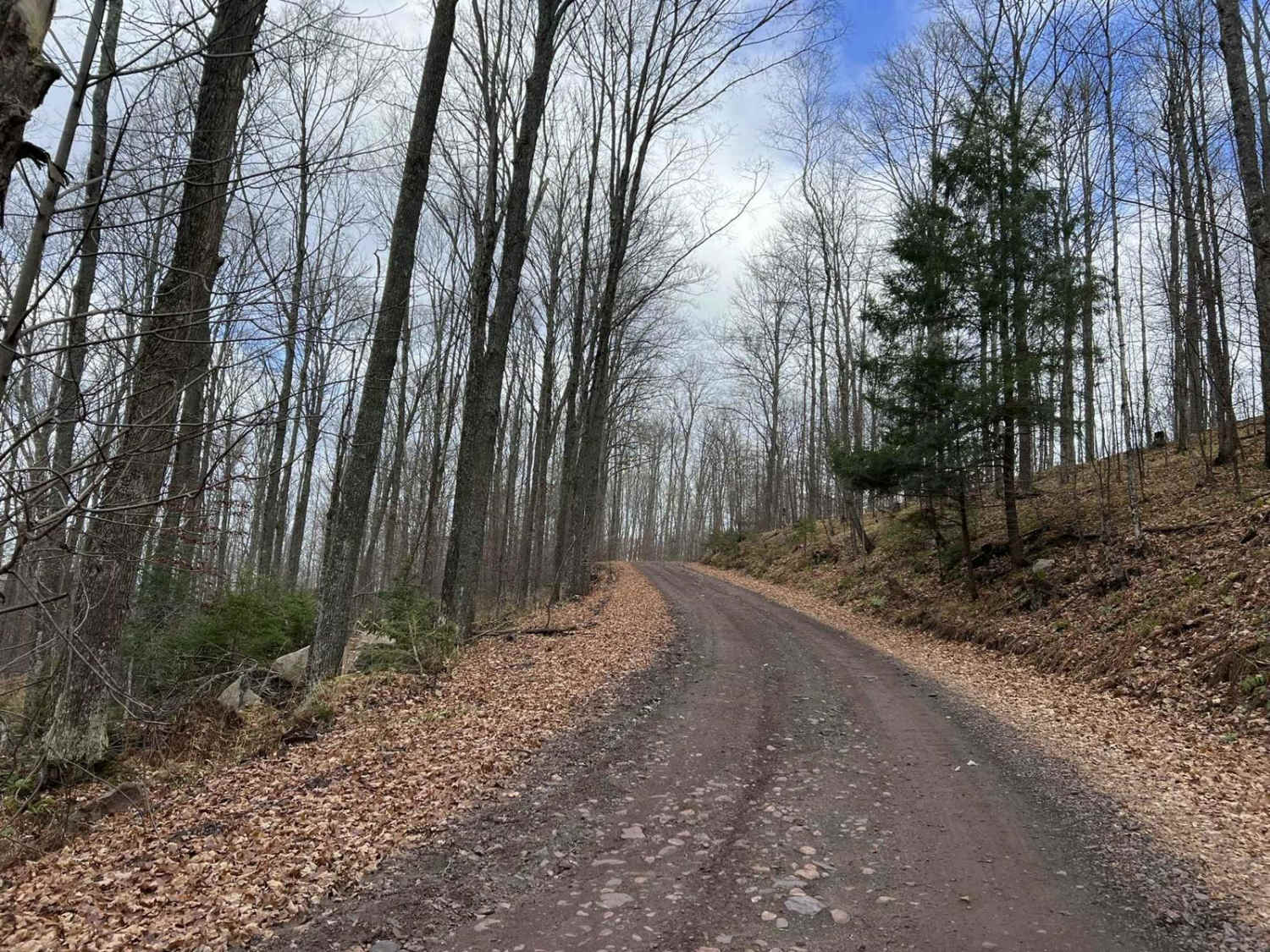
This is a gravel forest road starting on State Highway GG, right outside of Mellen, and ending on County Highway C in Highbridge. These forest roads have some nice scenic views as you make your way through the tall pine trees, past rivers and creeks, and along a few farm fields.
Photos of GG to Highbridge
Difficulty
I could see this road getting muddy in spots during spring or after heavy rainfall. otherwise a nice easy forest road
Status Reports
GG to Highbridge can be accessed by the following ride types:
- High-Clearance 4x4
- SUV
- SxS (60")
- ATV (50")
- Dirt Bike
GG to Highbridge Map
Popular Trails
Florence County Trail H- Northwoods Drive
Cattail State Trail: Turtle Lake to Almena
Horseshoe Lake
CCRT - Monroe to Browntown
The onX Offroad Difference
onX Offroad combines trail photos, descriptions, difficulty ratings, width restrictions, seasonality, and more in a user-friendly interface. Available on all devices, with offline access and full compatibility with CarPlay and Android Auto. Discover what you’re missing today!