Bushafer 3876
Total Miles
5.1
Technical Rating
Best Time
Spring, Summer, Fall
Trail Type
Full-Width Road
Accessible By
Trail Overview
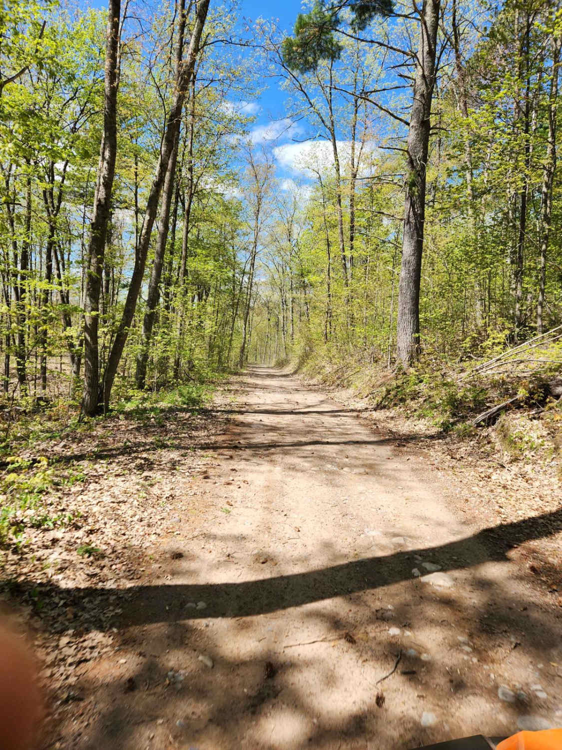
This trail has an easy-going gravel and dirt base and will be greatly enjoyed by anyone traveling by ATV or SxS, though it's open to other road-going vehicles. It's a tight forest road with some of the most elevation changes in the area. A winding trail towards the beginning stretch, it straightens out as it approaches a typical Wisconsin railroad grade that can direct you toward the town of Wabeno. The narrow section limits sight lines. Runoff along either side of the trail is also limited. With the majority of this trail consisting of dirt/sand, it can become quite muddy and slippery in wet weather conditions. For ATV and SxS traffic, this trail is one of the best and most convenient ways to travel from the Nicolet National Trail to the Wolf River State Trail. The trail is plenty wide for traffic to flow in both directions and during dry times, prepare for plenty of dust.
Photos of Bushafer 3876
Difficulty
The trail's primary surface is a sand-dirt mixture. Immediately after rain, there will be several water holes to traverse. Several of these can appear after the apex of a corner, causing them to be hard to spot. Runoff on either side of the trail is limited and sight lines from corner to corner are also limited due to tree overgrowth. The trail at its widest is 1.5 vehicles wide but moves down to 1 vehicle wide in several spots.
History
The Nicolet National Trail located on the eastern end of this trail serves as a great spot for ATV and SxS traffic to quickly travel to other trail systems or towns in the nearby vicinity.
Status Reports
Bushafer 3876 can be accessed by the following ride types:
- High-Clearance 4x4
- SUV
- SxS (60")
- ATV (50")
- Dirt Bike
Bushafer 3876 Map
Popular Trails

FR 2183 Eastern Section

Trans Wisconsin Adventure Trail (Southern Portion)

Trans Wisconsin Adventure Trail (Central Portion)
The onX Offroad Difference
onX Offroad combines trail photos, descriptions, difficulty ratings, width restrictions, seasonality, and more in a user-friendly interface. Available on all devices, with offline access and full compatibility with CarPlay and Android Auto. Discover what you’re missing today!


