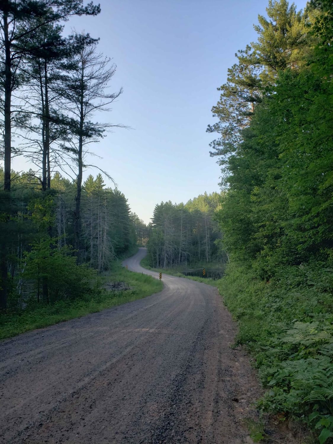
Off-Road Trails in Wisconsin
Discover off-road trails in Wisconsin
Learn more about Peshtigo Reserve Road - FS 2695
Peshtigo Reserve Road - FS 2695
Total Miles
3.4
Tech Rating
Easy
Best Time
Spring, Summer, Fall
Learn more about Pete de Foure Road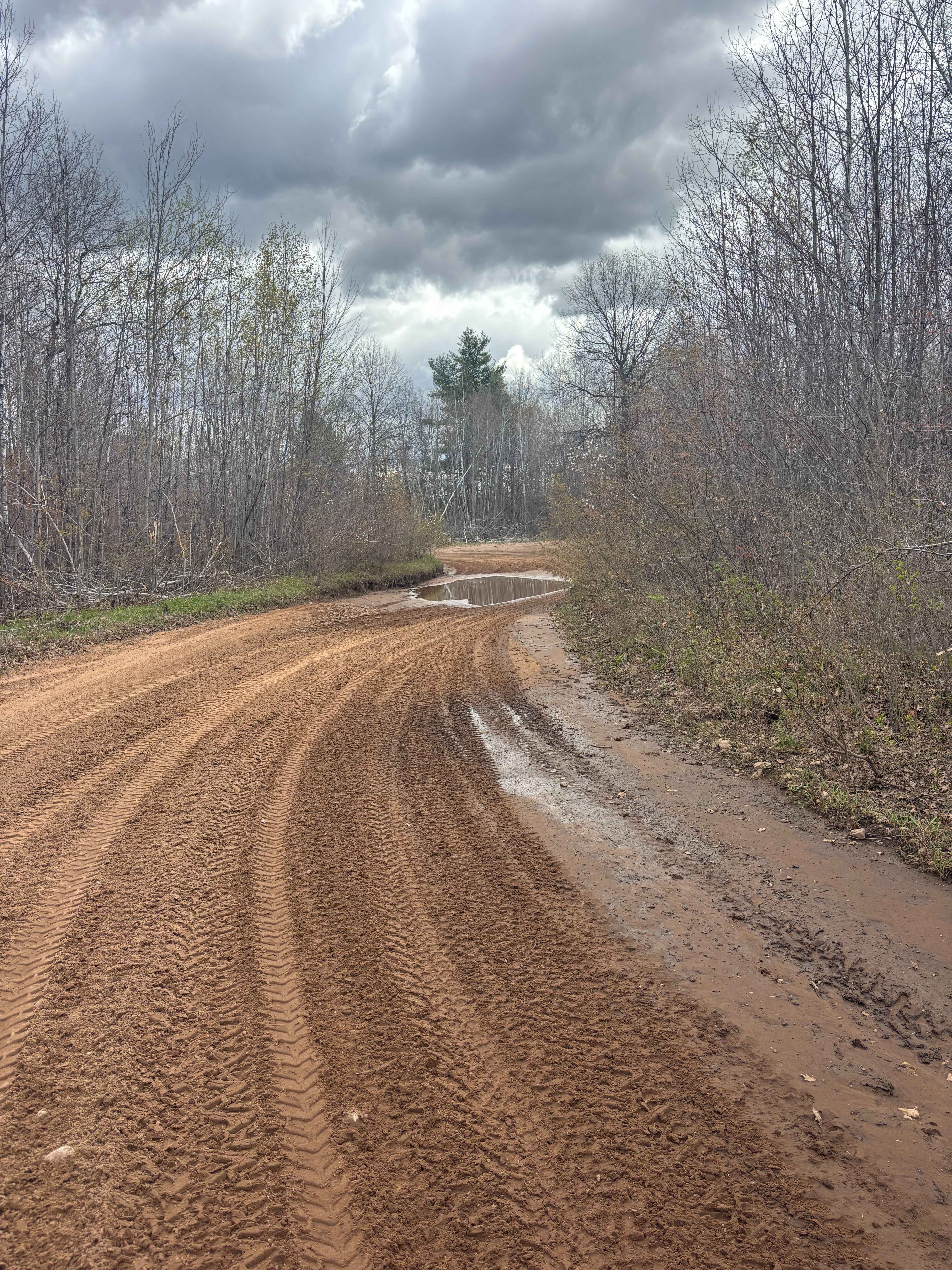
Pete de Foure Road
Total Miles
2.3
Tech Rating
Easy
Best Time
Spring, Summer, Fall
Learn more about Pine Bluff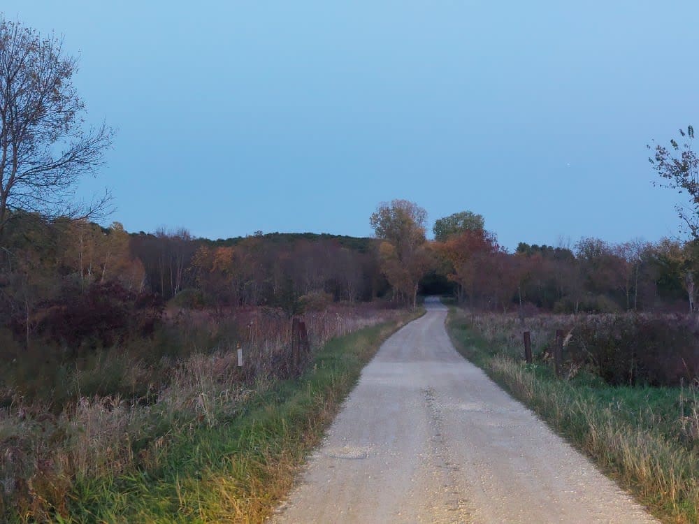
Pine Bluff
Total Miles
2.6
Tech Rating
Easy
Best Time
Spring, Summer, Fall, Winter
Learn more about Pine River FR 2182
Pine River FR 2182
Total Miles
7.3
Tech Rating
Easy
Best Time
Summer, Fall, Spring
Learn more about Porkey Lake Loop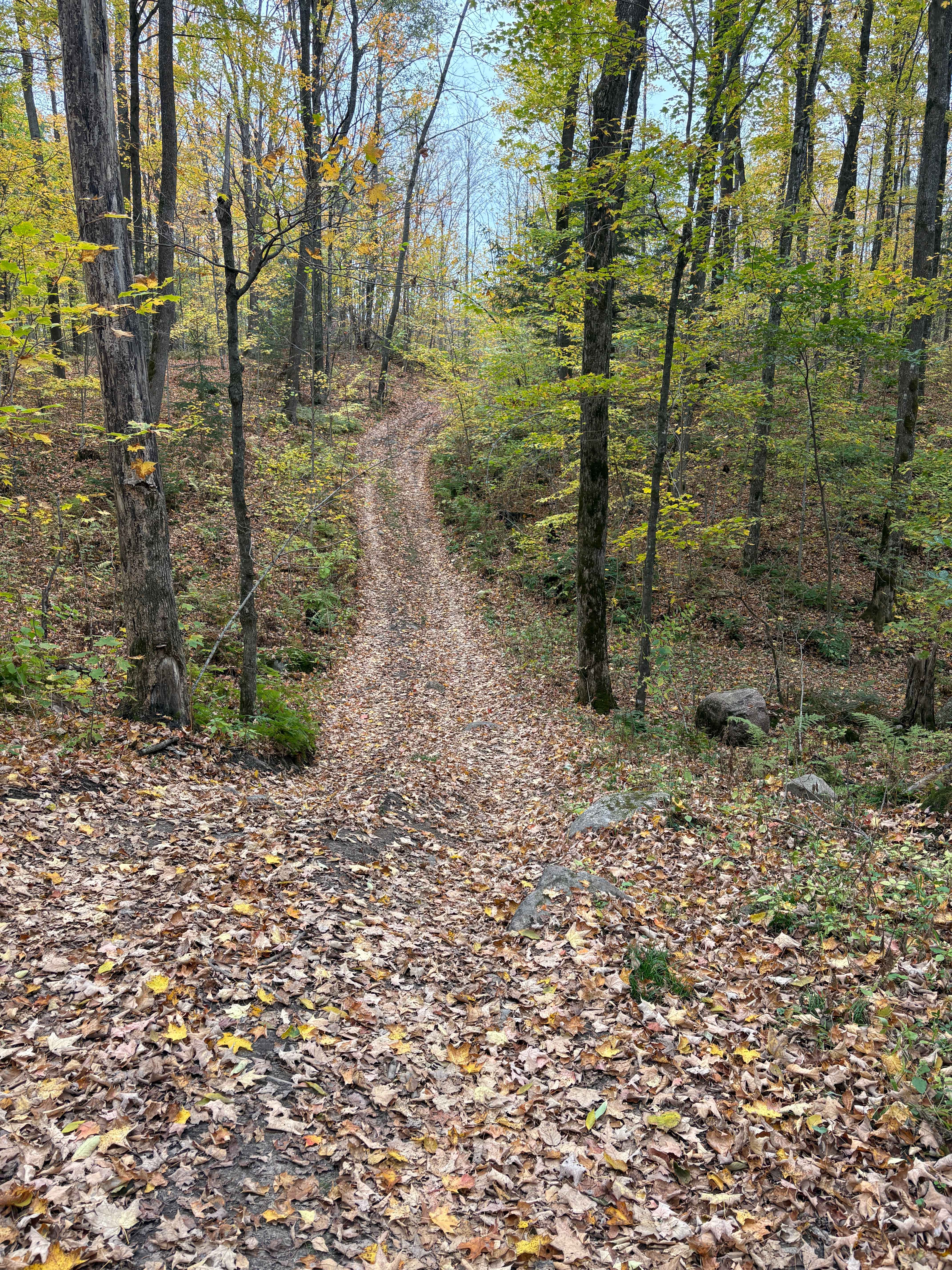
Porkey Lake Loop
Total Miles
1.4
Tech Rating
Easy
Best Time
Spring, Summer, Fall
Learn more about Pratt Junction
Pratt Junction
Total Miles
4.7
Tech Rating
Easy
Best Time
Fall, Summer, Spring
Learn more about Roberts Lake - FS 2144
Roberts Lake - FS 2144
Total Miles
3.3
Tech Rating
Easy
Best Time
Spring, Summer, Fall
Learn more about Roberts Lake 2144
Roberts Lake 2144
Total Miles
3.3
Tech Rating
Easy
Best Time
Spring, Summer, Fall
Learn more about Roberts Lake Road - FS 2144 - Northern Half 
Roberts Lake Road - FS 2144 - Northern Half
Total Miles
4.0
Tech Rating
Easy
Best Time
Summer, Fall, Spring
Learn more about Sand Road Driftless Loop
Sand Road Driftless Loop
Total Miles
38.1
Tech Rating
Easy
Best Time
Fall
Learn more about Sandy Summit Trail
Sandy Summit Trail
Total Miles
3.9
Tech Rating
Easy
Best Time
Spring, Fall, Summer
Learn more about Snowmobile Trl Lkln Forest 55541
Snowmobile Trl Lkln Forest 55541
Total Miles
2.6
Tech Rating
Easy
Best Time
Spring, Summer, Fall
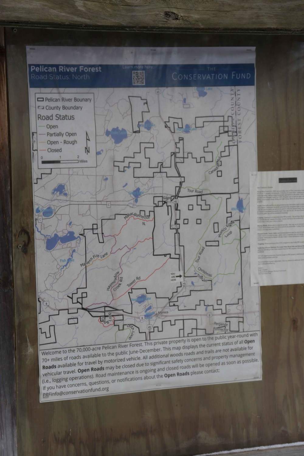
Learn more about South Pelican
South Pelican
Total Miles
1.9
Tech Rating
Easy
Best Time
Spring, Summer, Fall
Learn more about Starks Settlement Road Nicolet State Trail Access
Starks Settlement Road Nicolet State Trail Access
Total Miles
0.4
Tech Rating
Easy
Best Time
Spring, Summer, Fall
Learn more about Stateline Route
Stateline Route
Total Miles
13.7
Tech Rating
Easy
Best Time
Spring, Summer, Fall
Learn more about Tamarack Straight Arrow East Trail
Tamarack Straight Arrow East Trail
Total Miles
5.0
Tech Rating
Easy
Best Time
Spring, Summer, Fall
Learn more about The Wolf - Jungle Lake Stretch
The Wolf - Jungle Lake Stretch
Total Miles
4.1
Tech Rating
Easy
Best Time
Spring, Summer, Fall
Learn more about Trail 16 Tower Road 
Trail 16 Tower Road
Total Miles
4.7
Tech Rating
Easy
Best Time
Fall, Spring, Summer
ATV trails in Wisconsin
Learn more about #409-425 Pipeline Road to HWY 64 East
#409-425 Pipeline Road to HWY 64 East
Total Miles
31.2
Tech Rating
Easy
Best Time
Spring, Summer, Fall
Learn more about Barrens Loop
Barrens Loop
Total Miles
2.7
Tech Rating
Easy
Best Time
Summer, Winter, Fall, Spring
Learn more about Bayfield Timber Trail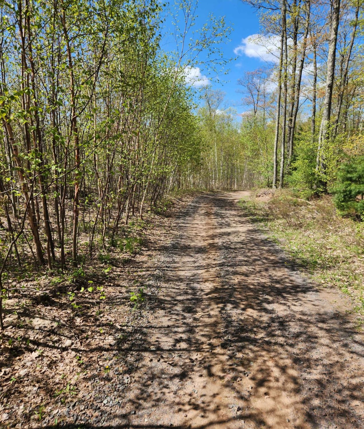
Bayfield Timber Trail
Total Miles
4.2
Tech Rating
Easy
Best Time
Fall, Summer, Spring
UTV/side-by-side trails in Wisconsin
Learn more about #409-425 Pipeline Road to HWY 64 East
#409-425 Pipeline Road to HWY 64 East
Total Miles
31.2
Tech Rating
Easy
Best Time
Spring, Summer, Fall
Learn more about Barrens Loop
Barrens Loop
Total Miles
2.7
Tech Rating
Easy
Best Time
Summer, Winter, Fall, Spring
Learn more about Barron to Cameron - Blueberry Trail Extension
Barron to Cameron - Blueberry Trail Extension
Total Miles
7.2
Tech Rating
Easy
Best Time
Summer, Fall
The onX Offroad Difference
onX Offroad combines trail photos, descriptions, difficulty ratings, width restrictions, seasonality, and more in a user-friendly interface. Available on all devices, with offline access and full compatibility with CarPlay and Android Auto. Discover what you’re missing today!