White Birch/ Firelane Road
Total Miles
3.7
Technical Rating
Best Time
Spring, Summer, Fall
Trail Type
Full-Width Road
Accessible By
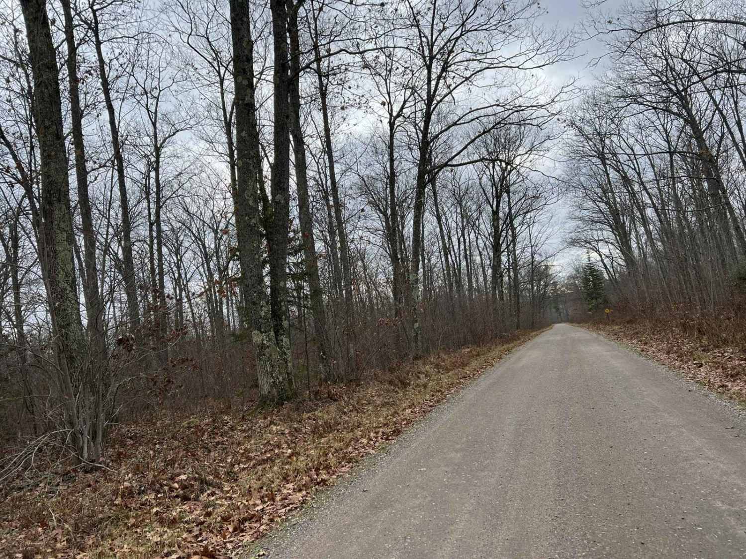
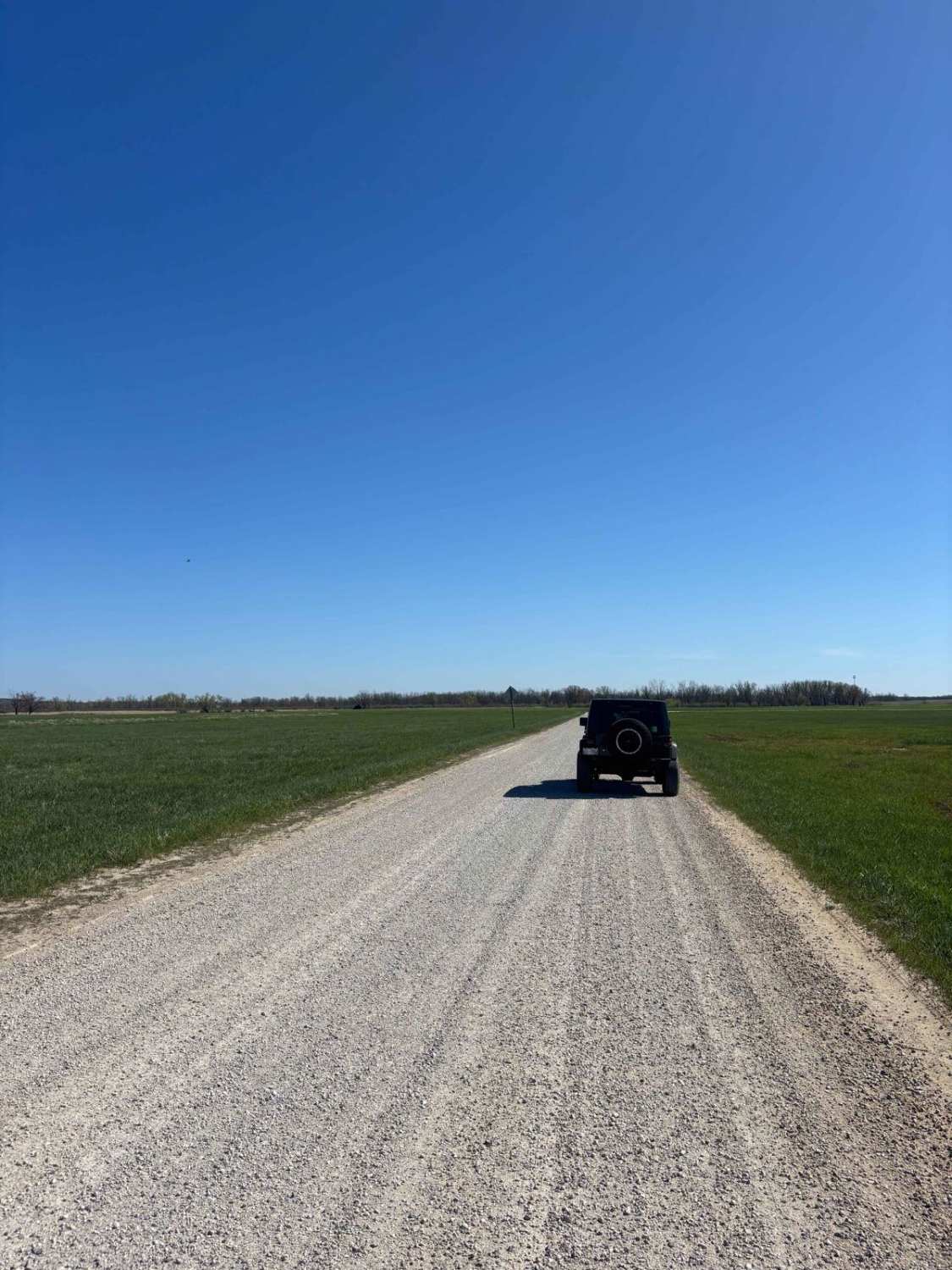
Trail Overview
This gravel road runs north to south, providing quick and convenient access to the La Salle Falls trail/ La Salle Falls road if traveling from the south. This trail has excellent sight lines since there is a lack of sharp corners. This trail still offers a good bit of scenery to look at while driving or riding on it. Most of the trail is surrounded by towering pine trees and hardwoods. There is also a large rock formation that is roughly at the center point of the trail if traveled from either the northern or southern end. The trail surface is hard-packed sand with areas of gravel mixed in throughout.
Photos of White Birch/ Firelane Road

Difficulty
The trail is tamable by all individuals, the surface is hard-packed, with spots of gravel or small rocks mixed in throughout. It can be navigated by any vehicle type, with little worry of facing challenging terrain. Sight lines on the trail are excellent in its whole length. Trail width is 2 vehicles wide almost everywhere, except for a few spots where it tightens up to just over one and a half vehicle widths.
Status Reports
White Birch/ Firelane Road can be accessed by the following ride types:
- High-Clearance 4x4
- SUV
- SxS (60")
- ATV (50")
White Birch/ Firelane Road Map
Popular Trails

FR 2183 Eastern Section
Minito Lake

Trail 16 Tower Road
The onX Offroad Difference
onX Offroad combines trail photos, descriptions, difficulty ratings, width restrictions, seasonality, and more in a user-friendly interface. Available on all devices, with offline access and full compatibility with CarPlay and Android Auto. Discover what you’re missing today!