West Elcho Bypass
Total Miles
3.8
Technical Rating
Best Time
Fall, Summer, Spring
Trail Type
60" Trail
Accessible By
Trail Overview
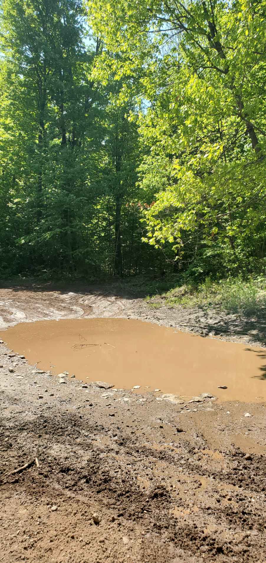
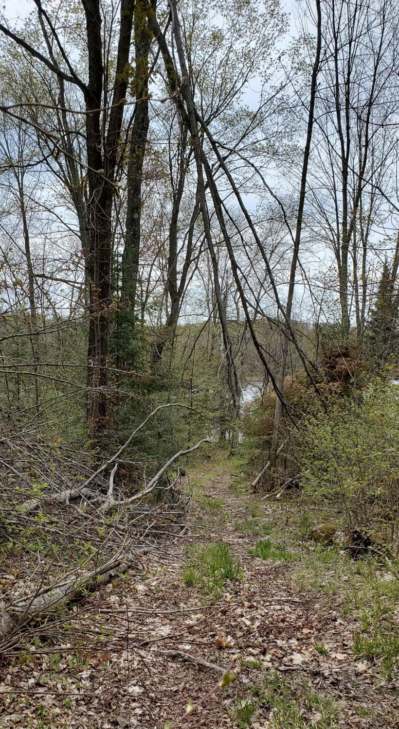
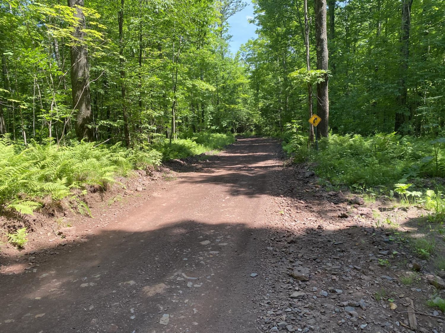
Short route to keep off of the dirt road of West Elcho. Access directly from the County T trailhead. Winding trail is narrow in some spots, which requires pulling off to the side allowing traffic to pass. Mostly gravel/dirt trail with a few of the steeper hills being loose rock. There are a few grassy areas off the side of the trail that you can pull off onto for a break.
Photos of West Elcho Bypass

Difficulty
Not a lot of mud on the trail, but some of the hills can be slippery in the spring during runoff times. Some areas, specifically a few corners are one lane only so the trail is best taken slower on the south end of the trail.
Status Reports
West Elcho Bypass can be accessed by the following ride types:
- SxS (60")
- ATV (50")
- Dirt Bike
West Elcho Bypass Map
Popular Trails
CCRT - Calamine to Mineral Point

Long Lake Road - FS 2168
Minito Lake
Lake Emily to Spread Eagle
The onX Offroad Difference
onX Offroad combines trail photos, descriptions, difficulty ratings, width restrictions, seasonality, and more in a user-friendly interface. Available on all devices, with offline access and full compatibility with CarPlay and Android Auto. Discover what you’re missing today!