Trans Wisconsin Adventure Trail (Northern Portion)
Total Miles
108.8
Technical Rating
Best Time
Summer
Trail Type
60" Trail
Accessible By
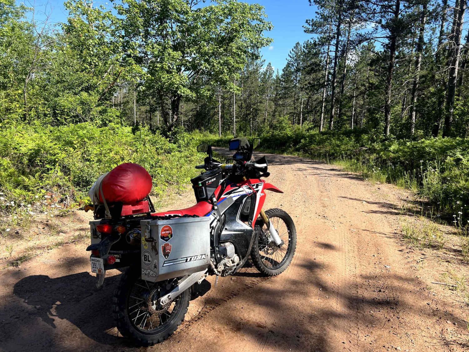
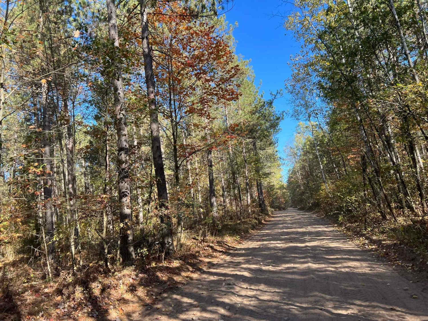
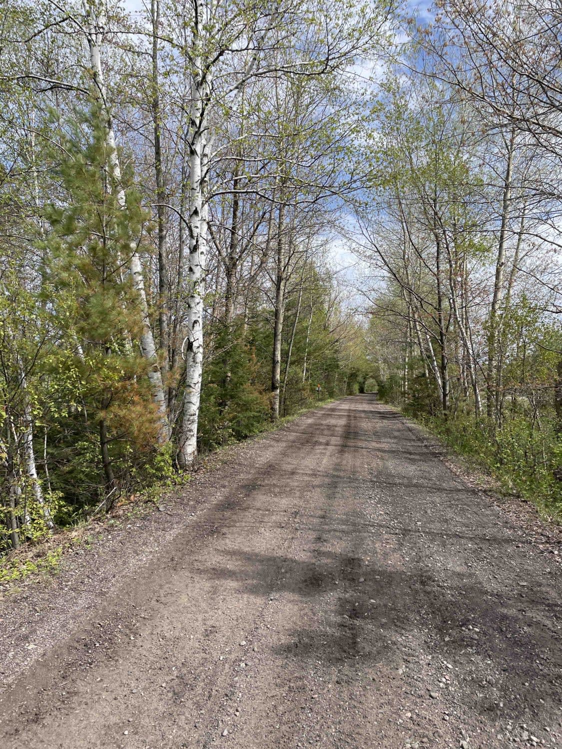
Trail Overview
Northern portion of the Trans Wisconsin Adventure Trail. Route pick up from the Clam Lake area, and travels along ATV trails, fire roads, forest service roads, and logging roads. Most of the route has poor cell service, so make sure you have offline maps and a backup plan for comms in case of emergency. Many of the forest service roads and fire roads are easy to navigate and will have great scenery. Once on the logging roads, terrain gets more challenging with washouts, craters and sand. The trail ends at Point Detour which has ZERO CELL SERVICE. The Delta Diner is a must stop, and is right on the route. Enjoy the views of Lake Superior as you crest the final logging road hill into Cornucopia.
Photos of Trans Wisconsin Adventure Trail (Northern Portion)

Difficulty
Mostly forest service roads, but the logging roads tend to be unpredicatble. Very little cell service.
Trans Wisconsin Adventure Trail (Northern Portion) can be accessed by the following ride types:
- SxS (60")
- ATV (50")
- Dirt Bike
Trans Wisconsin Adventure Trail (Northern Portion) Map
Popular Trails
Trail 5- Forest Road 219
CCRT - Browntown to South Wayne
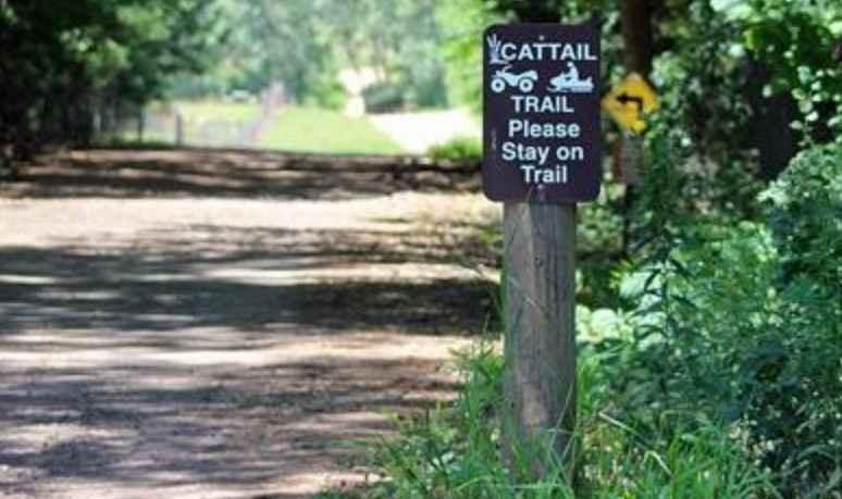
Cattail State Trail: Turtle Lake to Almena
The onX Offroad Difference
onX Offroad combines trail photos, descriptions, difficulty ratings, width restrictions, seasonality, and more in a user-friendly interface. Available on all devices, with offline access and full compatibility with CarPlay and Android Auto. Discover what you’re missing today!