La Salle Trail
Total Miles
22.9
Technical Rating
Best Time
Spring, Summer, Fall
Trail Type
60" Trail
Accessible By
Trail Overview
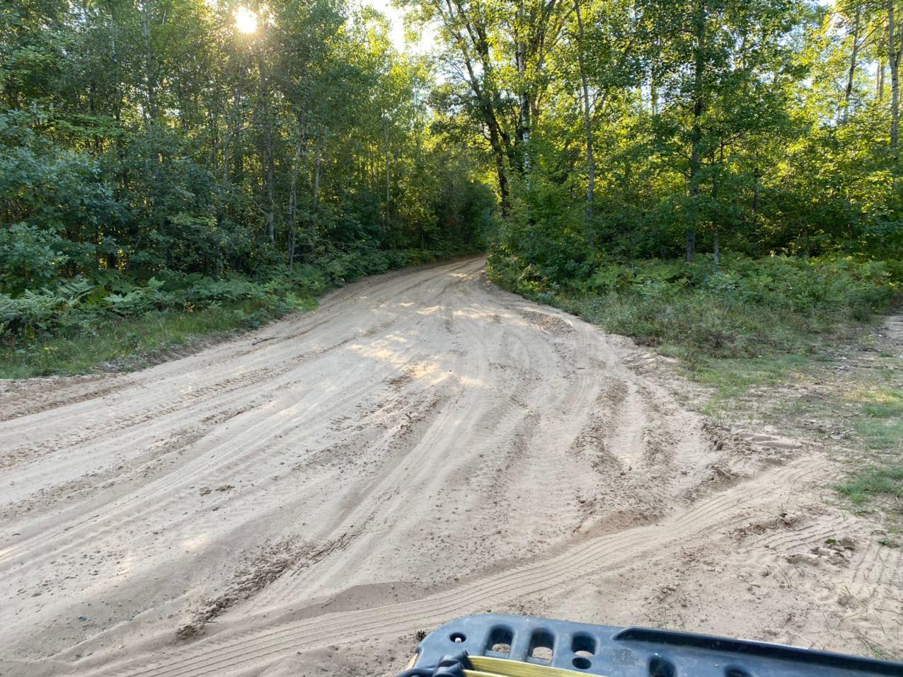
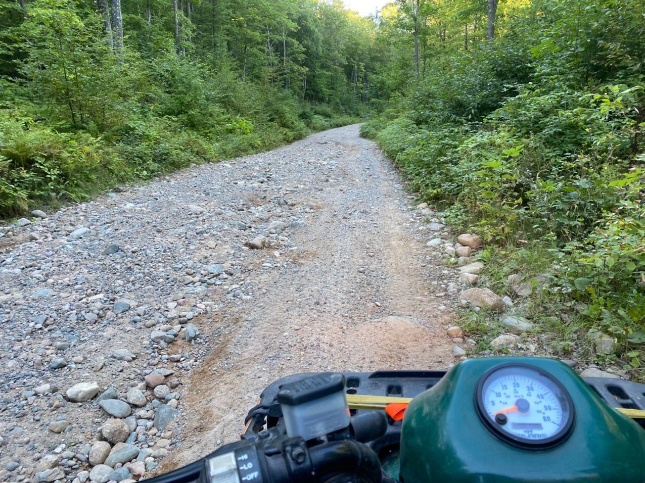
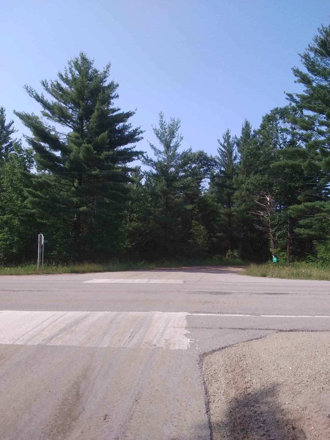
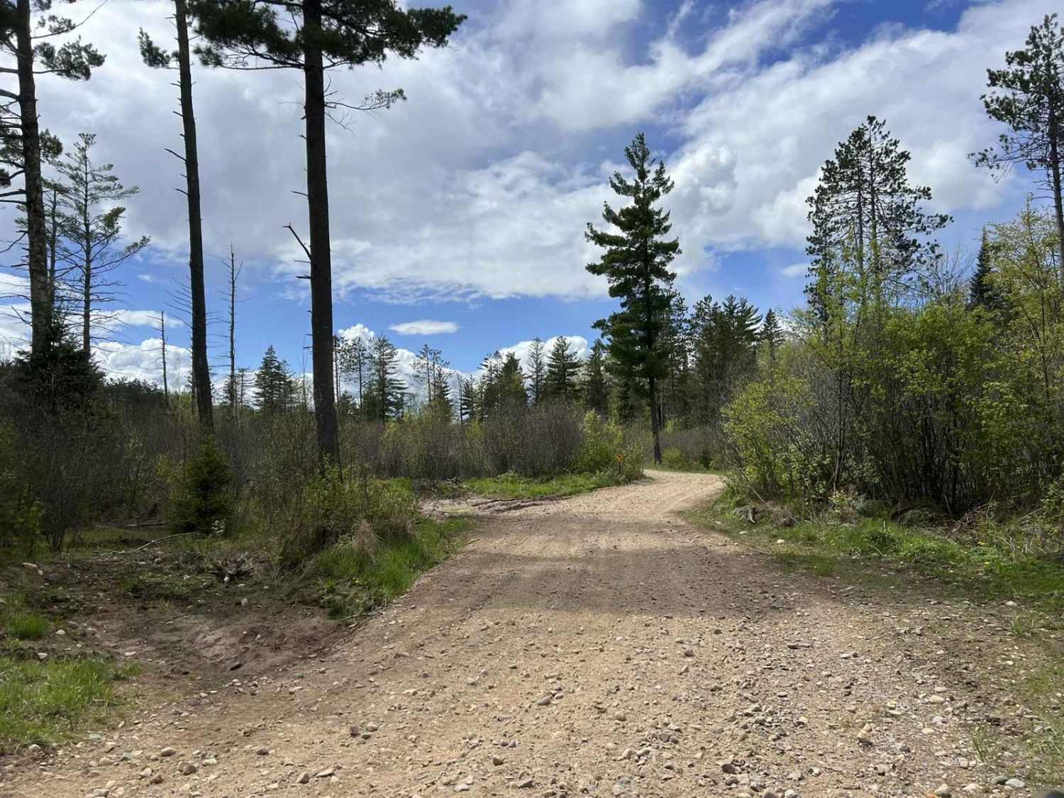
La Salle Trail runs generally north to south, and is comprised of a combination of gravel trails and forest roads. The trail begins in the south at a midway point between Goodman and Dunbar. On the north, the trail ends shortly after is passes Le Salle falls and joins back up with the F15 trail. The waterfall is a one-mile hike in off the trails parking area. This section of trail is also open to road vehicles, so watch for cars when coming around corners.
Photos of La Salle Trail
Difficulty
Very easy trail. Puddles and minor washout can be present after heavy rains.
Status Reports
La Salle Trail can be accessed by the following ride types:
- SxS (60")
- ATV (50")
La Salle Trail Map
Popular Trails

West Elcho Bypass
#409-425 Pipeline Road to HWY 64 East
Starks Settlement Road Nicolet State Trail Access

Pembine 16 East Trail Head FR 1006
The onX Offroad Difference
onX Offroad combines trail photos, descriptions, difficulty ratings, width restrictions, seasonality, and more in a user-friendly interface. Available on all devices, with offline access and full compatibility with CarPlay and Android Auto. Discover what you’re missing today!