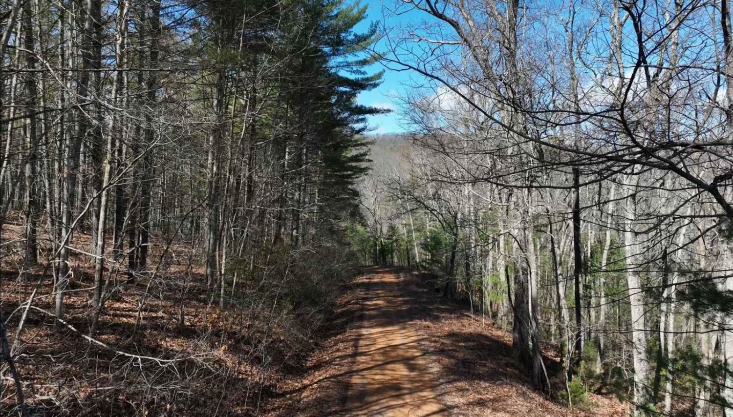
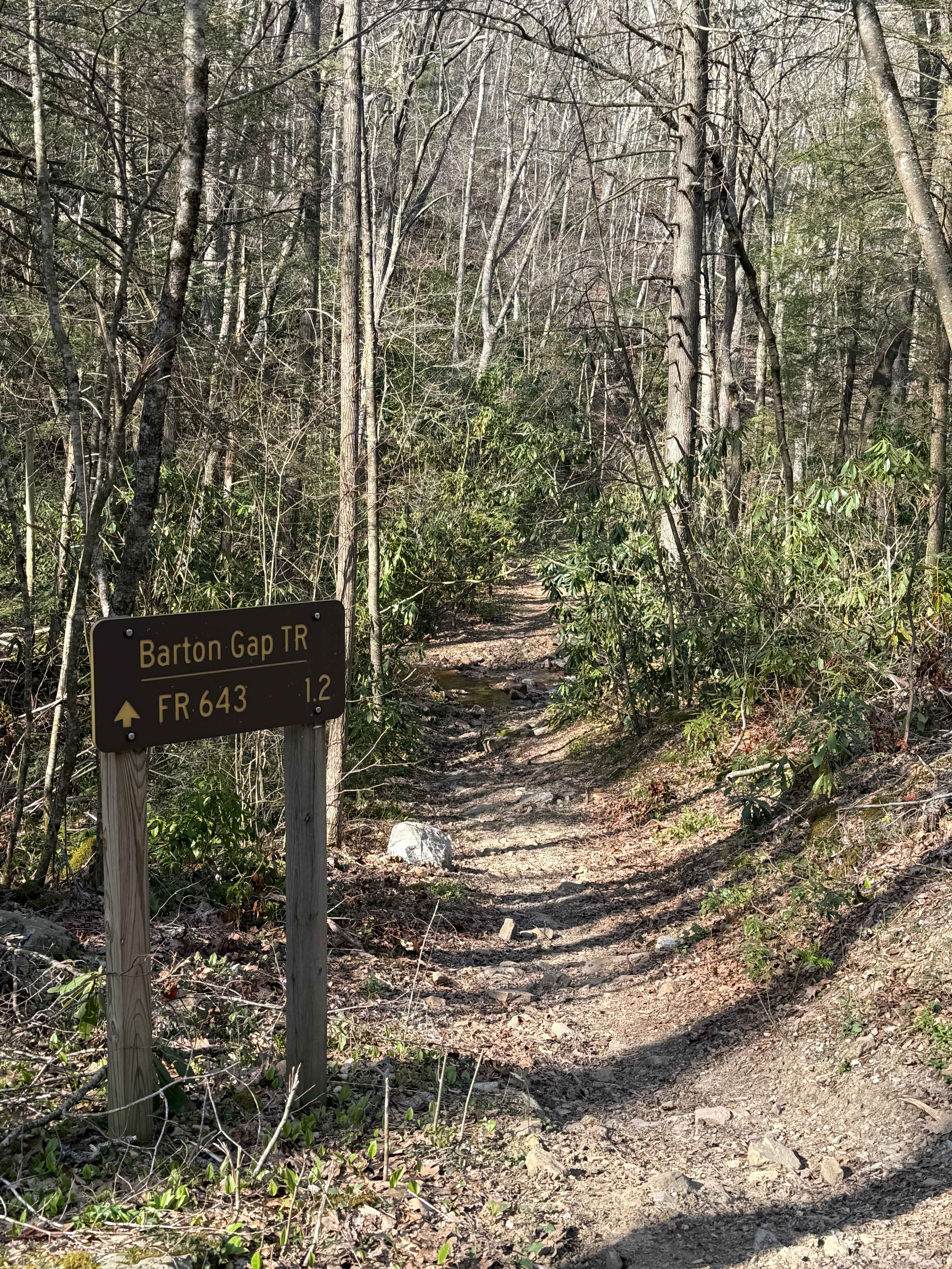
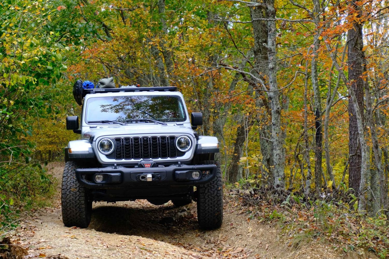
Off-Road Trails in Virginia
Discover off-road trails in Virginia
Learn more about 28 Connector
28 Connector
Total Miles
0.1
Tech Rating
Easy
Best Time
Fall, Spring, Summer, Winter

Learn more about Alier Hollow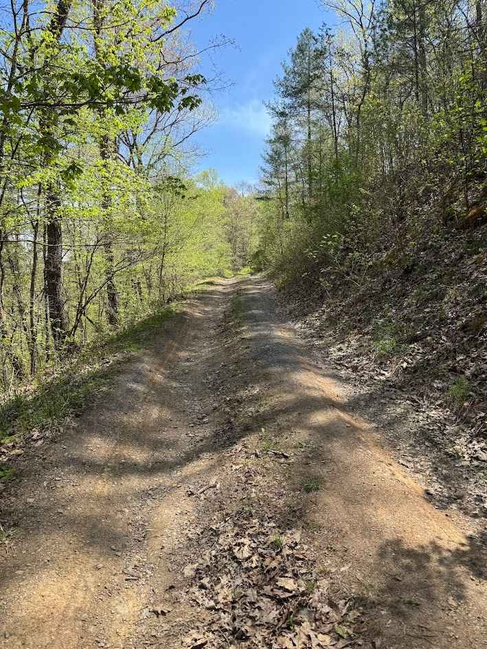
Alier Hollow
Total Miles
2.3
Tech Rating
Easy
Best Time
Spring, Fall, Winter, Summer
Learn more about Allegheny
Allegheny
Total Miles
5.6
Tech Rating
Easy
Best Time
Spring, Summer, Fall, Winter
Learn more about Bailey Gap to Butt Mountain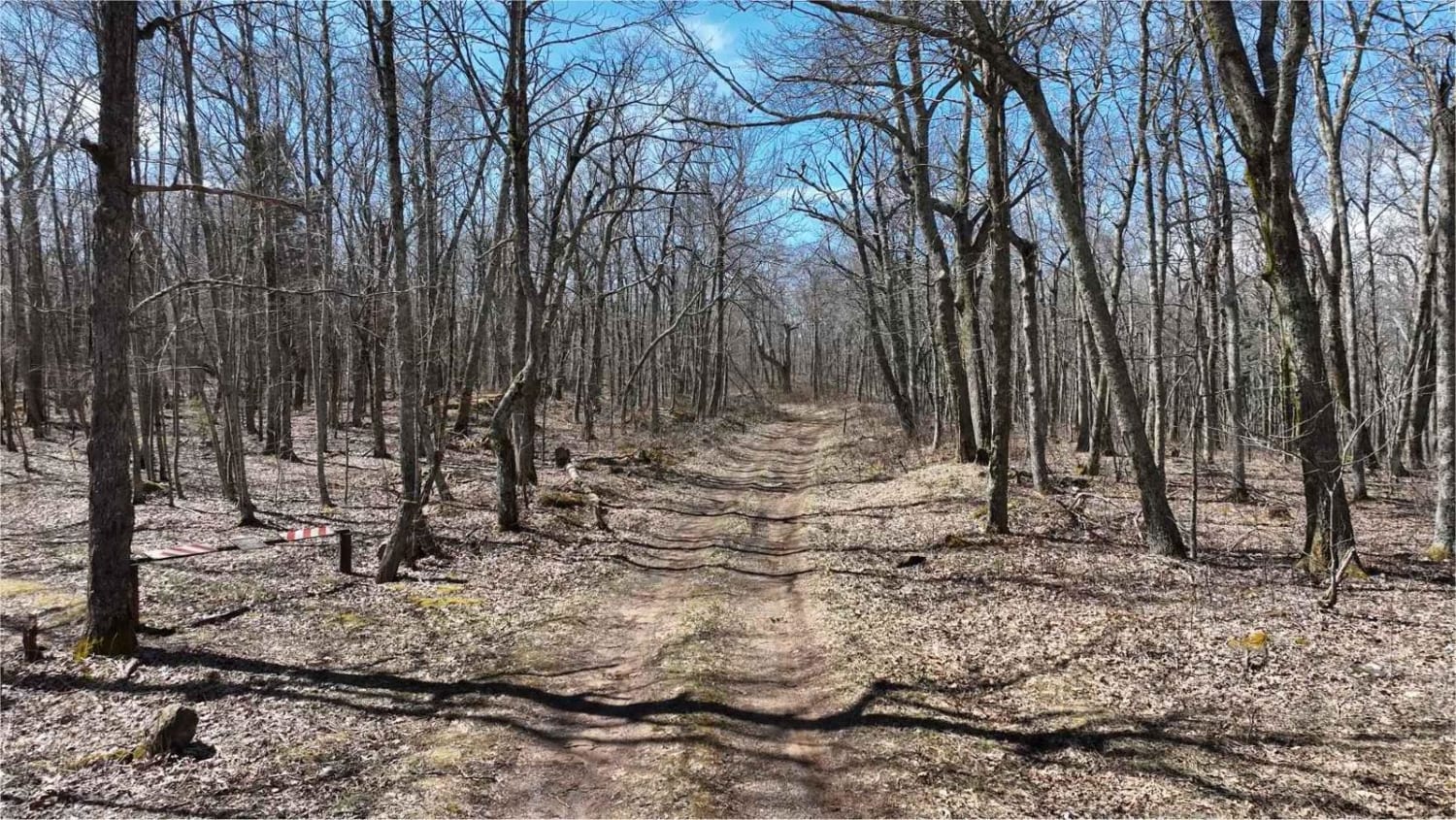
Bailey Gap to Butt Mountain
Total Miles
13.8
Tech Rating
Easy
Best Time
Winter
Learn more about Bailey Gap to Butte Mountain
Bailey Gap to Butte Mountain
Total Miles
13.6
Tech Rating
Easy
Best Time
Winter
Learn more about Bald Mountain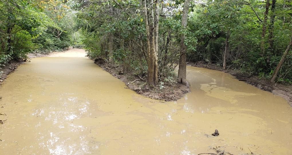
Bald Mountain
Total Miles
10.1
Tech Rating
Moderate
Best Time
Spring, Summer, Fall

Learn more about Bensons Run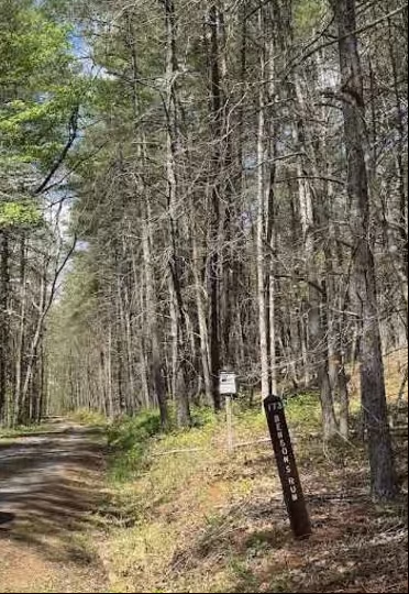
Bensons Run
Total Miles
6.3
Tech Rating
Easy
Best Time
Spring, Summer, Fall, Winter

Learn more about Big Piney
Big Piney
Total Miles
8.9
Tech Rating
Easy
Best Time
Spring, Summer, Fall, Winter
Learn more about Bother Flagpole Knob Trail
Bother Flagpole Knob Trail
Total Miles
0.6
Tech Rating
Easy
Best Time
Summer, Fall
Learn more about Briery Branch Trail - FS 924
Briery Branch Trail - FS 924
Total Miles
1.7
Tech Rating
Easy
Best Time
Summer, Fall
Learn more about Broad Run
Broad Run
Total Miles
9.7
Tech Rating
Moderate
Best Time
Spring, Summer, Fall, Winter
Learn more about Browns Gap Turnpike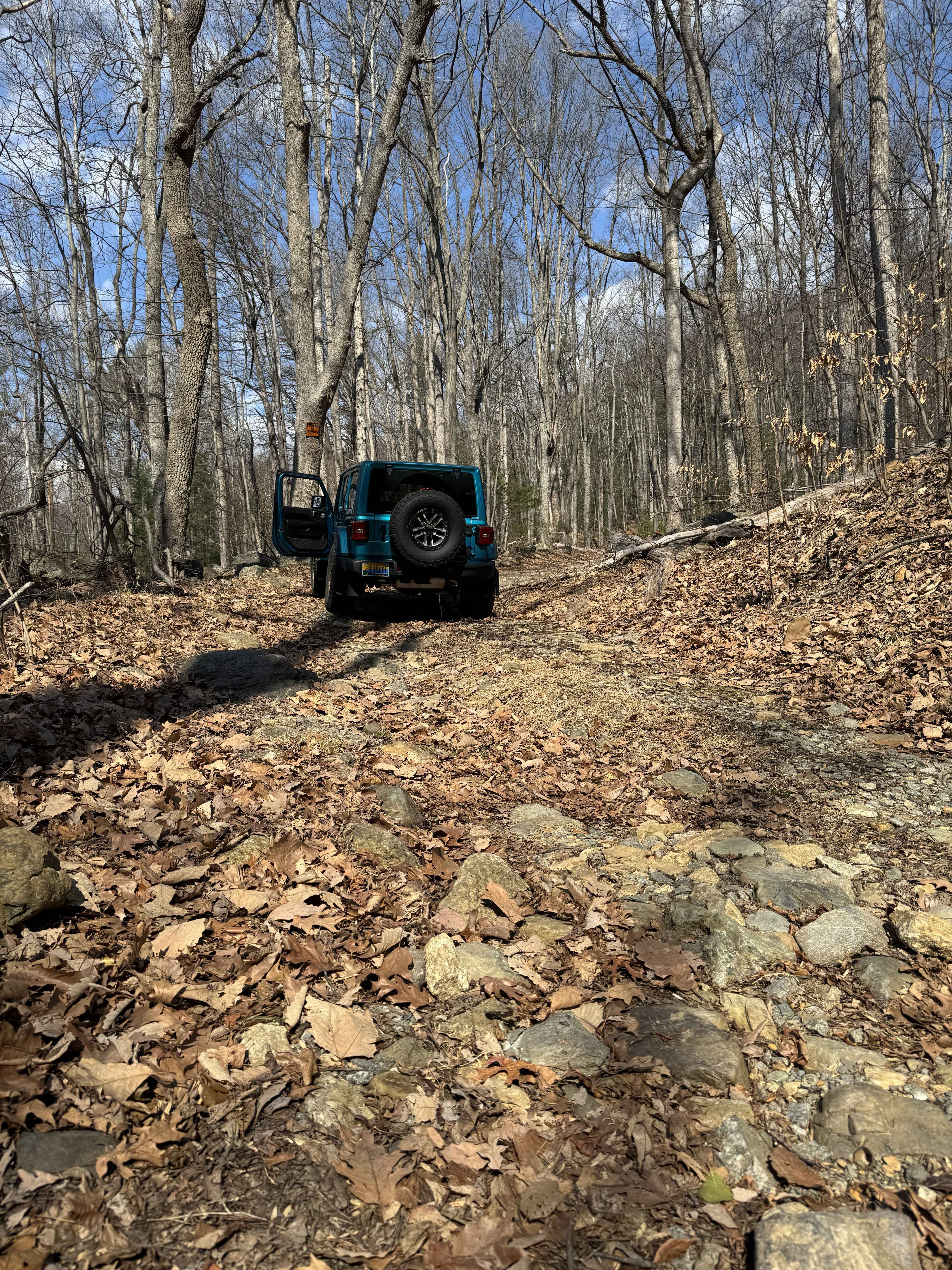
Browns Gap Turnpike
Total Miles
2.2
Tech Rating
Easy
Best Time
Spring, Summer, Winter, Fall
ATV trails in Virginia
Learn more about 28 Connector
28 Connector
Total Miles
0.1
Tech Rating
Easy
Best Time
Fall, Spring, Summer, Winter
Learn more about Big Piney
Big Piney
Total Miles
8.9
Tech Rating
Easy
Best Time
Spring, Summer, Fall, Winter
Learn more about Bother Flagpole Knob Trail
Bother Flagpole Knob Trail
Total Miles
0.6
Tech Rating
Easy
Best Time
Summer, Fall
UTV/side-by-side trails in Virginia


The onX Offroad Difference
onX Offroad combines trail photos, descriptions, difficulty ratings, width restrictions, seasonality, and more in a user-friendly interface. Available on all devices, with offline access and full compatibility with CarPlay and Android Auto. Discover what you’re missing today!