9 trails found in Oregon
Which "bald mountain" are you looking for?
We found 9 off-road trails in Oregon matching your search. Pick the one you're looking for below.
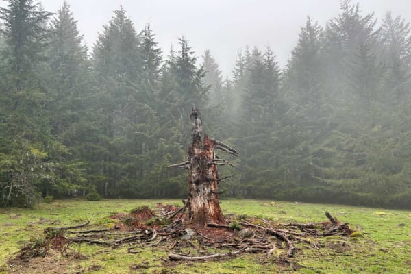
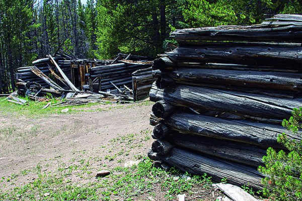
Bald Mountain
Start just west of McGuire Reservoir, turn left into an opening, and look for a bridge. This is a 6.7-mile route. Be aware that it crosses through Weyerhaeuser land with gates. The gates may be open or closed. At the end of the first section, there is a short (approximately 25 yards) of pavement on ...
Learn more about Bald Mountain
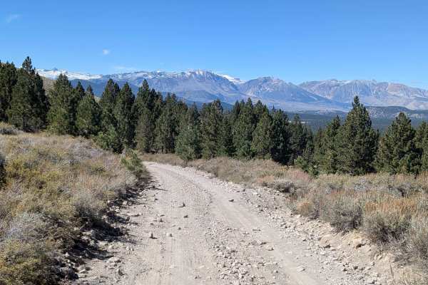
Bald Mountain - FS 32E604-SNO
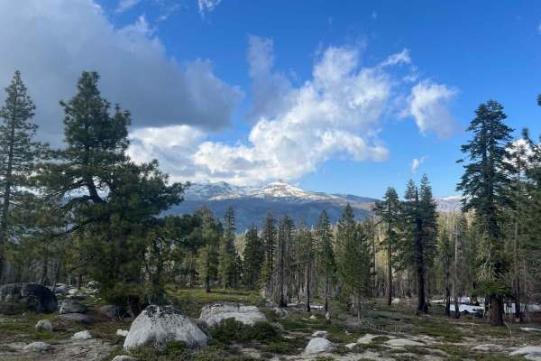
This 11.2-mile out-and-back trail climbs over 1,200 feet from Highway 395 to Bald Mountain Lookout, serving as an artery to many spur trails. Starting as a 2.5 vehicle-wide gravel road lined with tall pines and sagebrush, the seasonally graded surface still has washboards from heavy use. After the f...
Learn more about Bald Mountain - FS 32E604-SNO
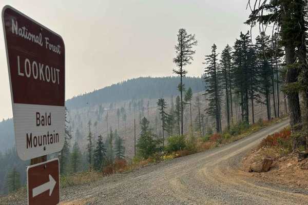
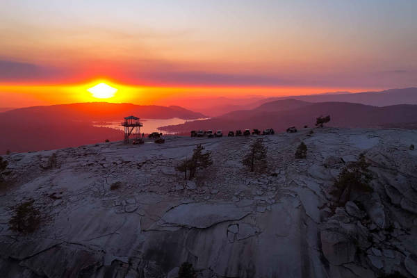
Bald Mountain Lookout - FS 377A
Bald Mountain Lookout (FS 377A) is a 1.2-mile point-to-point gravel road that takes riders up to the Bald Mountain Lookout Tower. The trail is a steep and consistent climb, maintaining a 10% grade for its entire length. The Bald Mountain Lookout Tower is available for rent through recreation.gov. Pl...
Learn more about Bald Mountain Lookout - FS 377A
Upper Bald Mountain - FS 44214A
The Upper Bald Mountain Road is a visually stunning and spiritually significant route that carries explorers deep into the rugged Bald Mountain Wash. The absolute highlight of this journey occurs right at the beginning: the Bald Mountain Petroglyphs. This world-class archaeological site features a m...
Learn more about Upper Bald Mountain - FS 44214A
Bald Mountain
This trail passes between Middle Bald Mountain and South Bald Mountain. You'll twist and turn through some slow and challenging spots. If you want even more of a challenge, take a left across the meadow instead of going straight.
Learn more about Bald Mountain
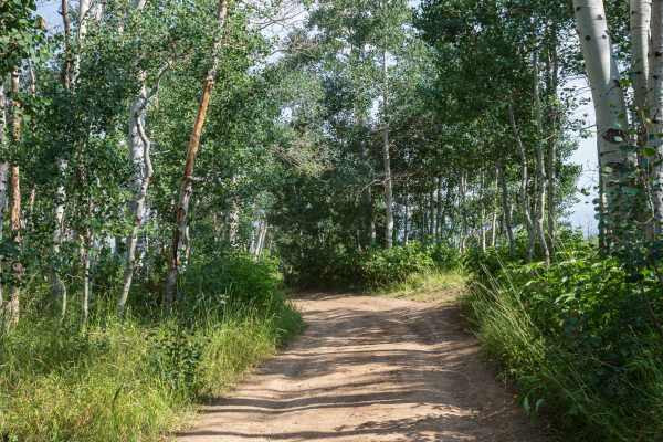
Long Canyon Bald Mountain Connector
This connector trail runs between the Long Canyon 4WD trail and the Bald Mountain overlook trail. This trail is comparable to Long Canyon in difficulty and consists of tight turns, short steep sections with loose rocks and dirt, gnarly roots, and some smaller boulders. This connector trail is best s...
Learn more about Long Canyon Bald Mountain Connector
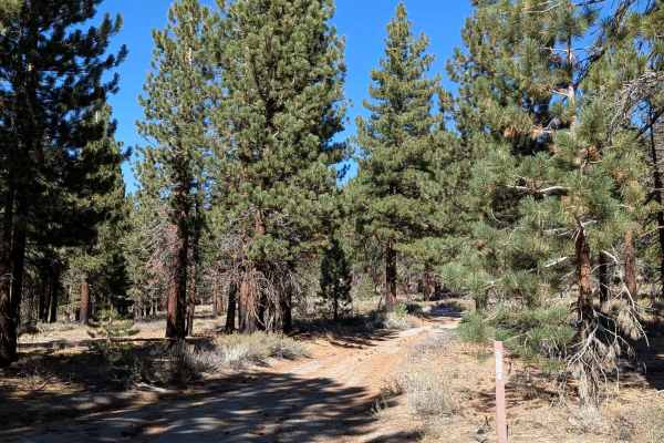
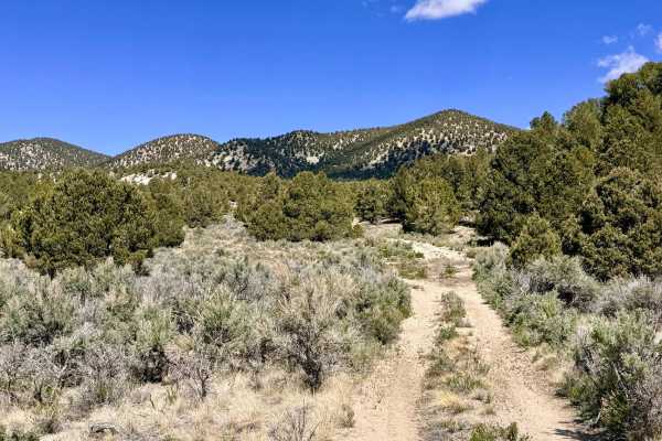
Bald Mountain Lateral - FS 1S14
This 2.31-mile point-to-point north-to-south trail climbs over 142 feet from FS 1S151 to FS 1S11. Made of sand and pumice, the one vehicle-wide trail cuts through a pine forest that was recently burned, showing the landscape's recovery process. The trail offers some views of the Eastern Sierra when ...
Learn more about Bald Mountain Lateral - FS 1S14
Bald Mountain - FS 70043
Bald Mountain (FS 70043) leads from pines and aspen groves on the west side to a breathtaking, expansive prairie on the east. The road is primarily compacted dirt with some rocks. About 1.3 miles in from the west side is a wide section of road that has rows of ruts about 8 to 10 inches deep. Ruts...
Learn more about Bald Mountain - FS 70043
Bald Mountain - FS 26E219
Bald Mountain (FS 26E219) is the crown jewel of the area, a legendary "two-track" trail that serves up a perfect cocktail of high Sierra granite terrain. The route climbs steadily from the Green Gate toward the summit, offering a dynamic surface mix of loose dirt, decomposed granite (DG), and grippy...
Learn more about Bald Mountain - FS 26E219