Vepco Road
Total Miles
12.1
Technical Rating
Best Time
Spring, Summer, Fall, Winter
Trail Type
Full-Width Road
Accessible By
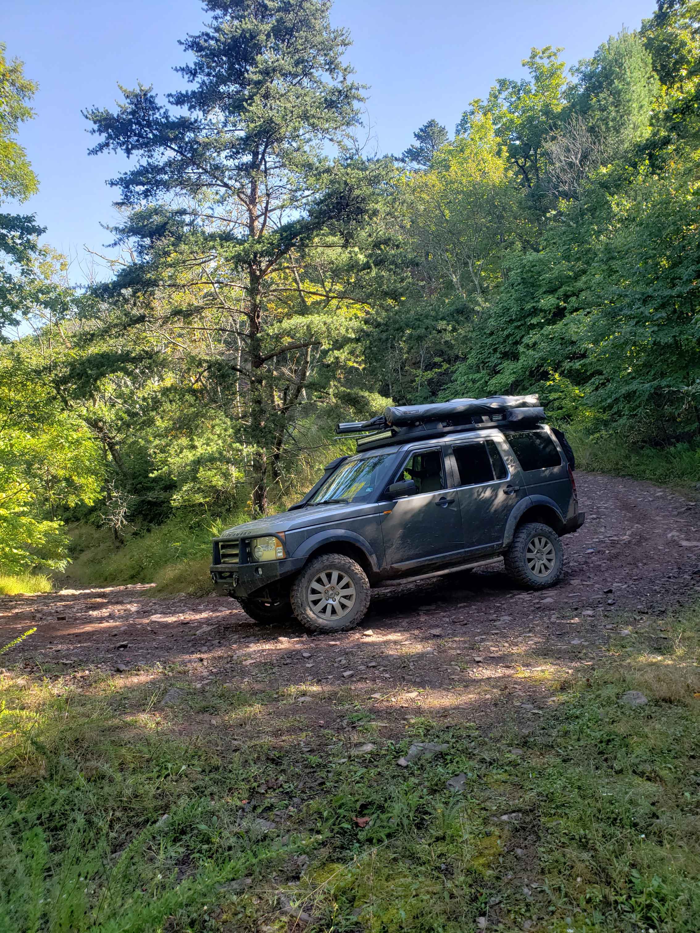
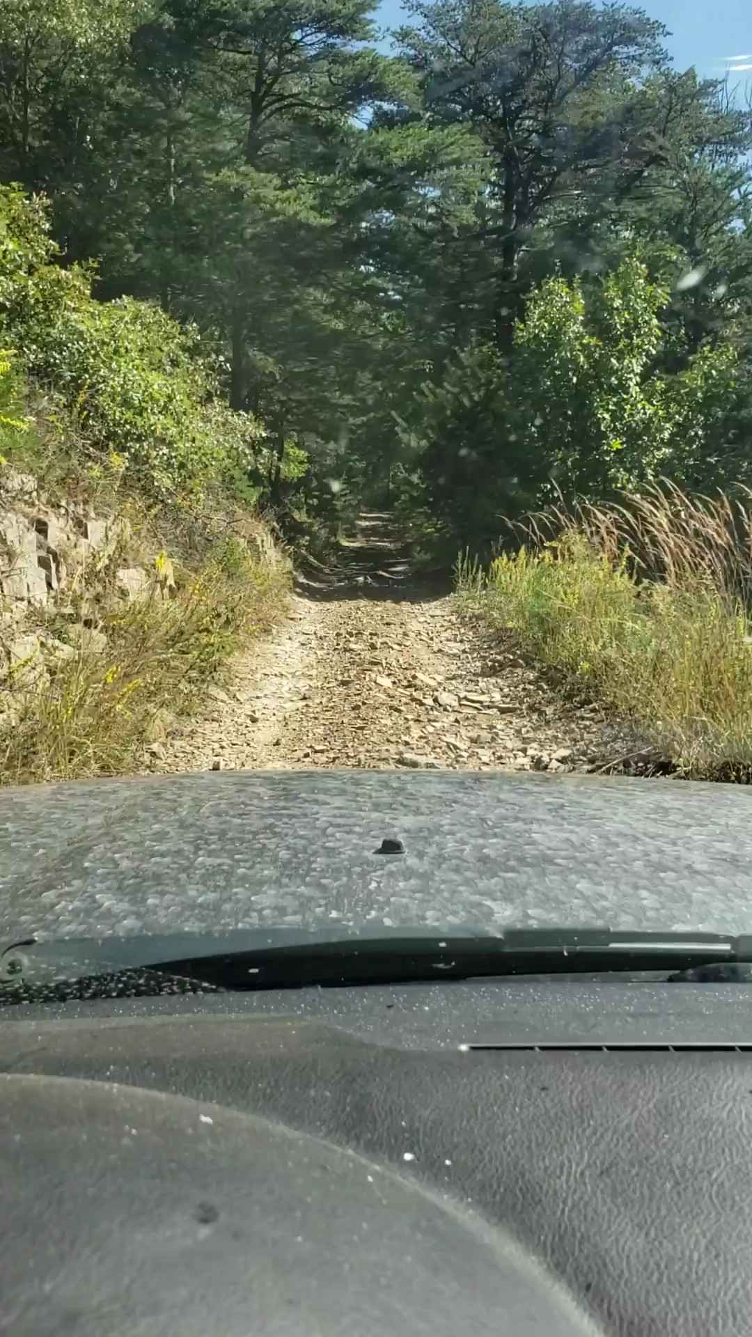
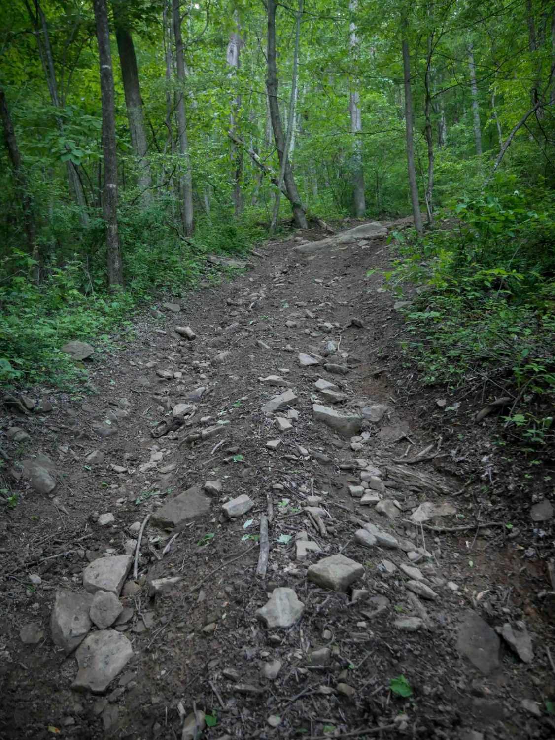
Trail Overview
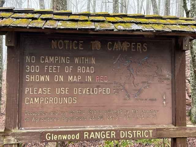
This route follows along a power line for the most part with lots of scenic views. The lower elevation section is mainly gravel or a natural stone base. The upper section to the intersection at Broad Run Road becomes narrow, steeper, and much rockier. There are several dispersed camping areas along the route and there is spotty cell service in the area.
Photos of Vepco Road
Difficulty
Mix of smooth gravel and tight, steep and rocky
History
Vepco Rd after Virginia Electric Power Company
Status Reports
Vepco Road can be accessed by the following ride types:
- High-Clearance 4x4
- SUV
Vepco Road Map
Popular Trails
Powell's Gap


The onX Offroad Difference
onX Offroad combines trail photos, descriptions, difficulty ratings, width restrictions, seasonality, and more in a user-friendly interface. Available on all devices, with offline access and full compatibility with CarPlay and Android Auto. Discover what you’re missing today!