2 trails found in Virginia
Which "barton gap" are you looking for?
We found 2 off-road trails in Virginia matching your search. Pick the one you're looking for below.
Barton Gap
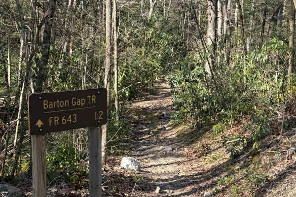
Barton Gap Trail connects Forest Road 643 (Bartons Gap) to the north and Forest Road 84 (Hurricane) to the south, running through Jefferson National Forest in southwest Virginia. The trail is best suited for dirt bikes due to its tight width and technical terrain, but expect to share the trail with ...
Learn more about Barton Gap
Barton Gap
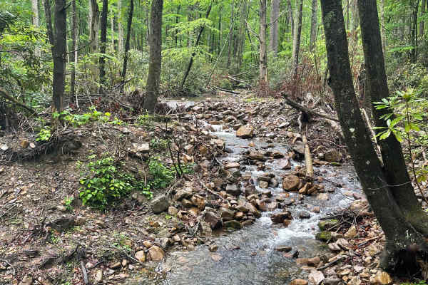
Barton Gap Trail begins off Stoney Battery Road and has recently undergone revitalization by the National Forestry Service, including grading and fresh gravel throughout the route. The trail features 2-3 smaller emergency dispersed campsites, along with larger dispersed camping areas capable of acco...
Learn more about Barton Gap