Caney Creek
Total Miles
10.1
Technical Rating
Best Time
Spring, Fall
Trail Type
Full-Width Road
Accessible By
Trail Overview
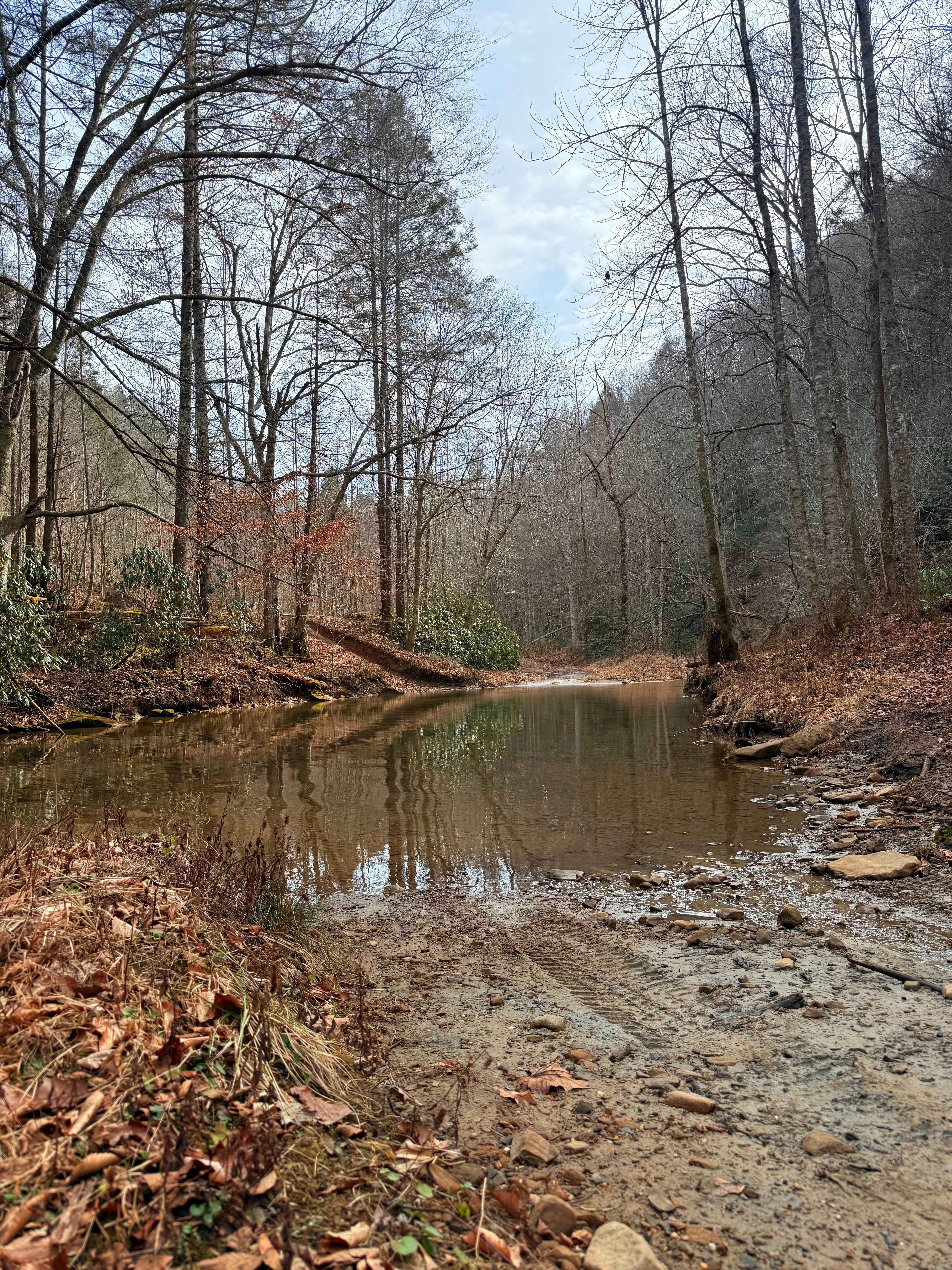
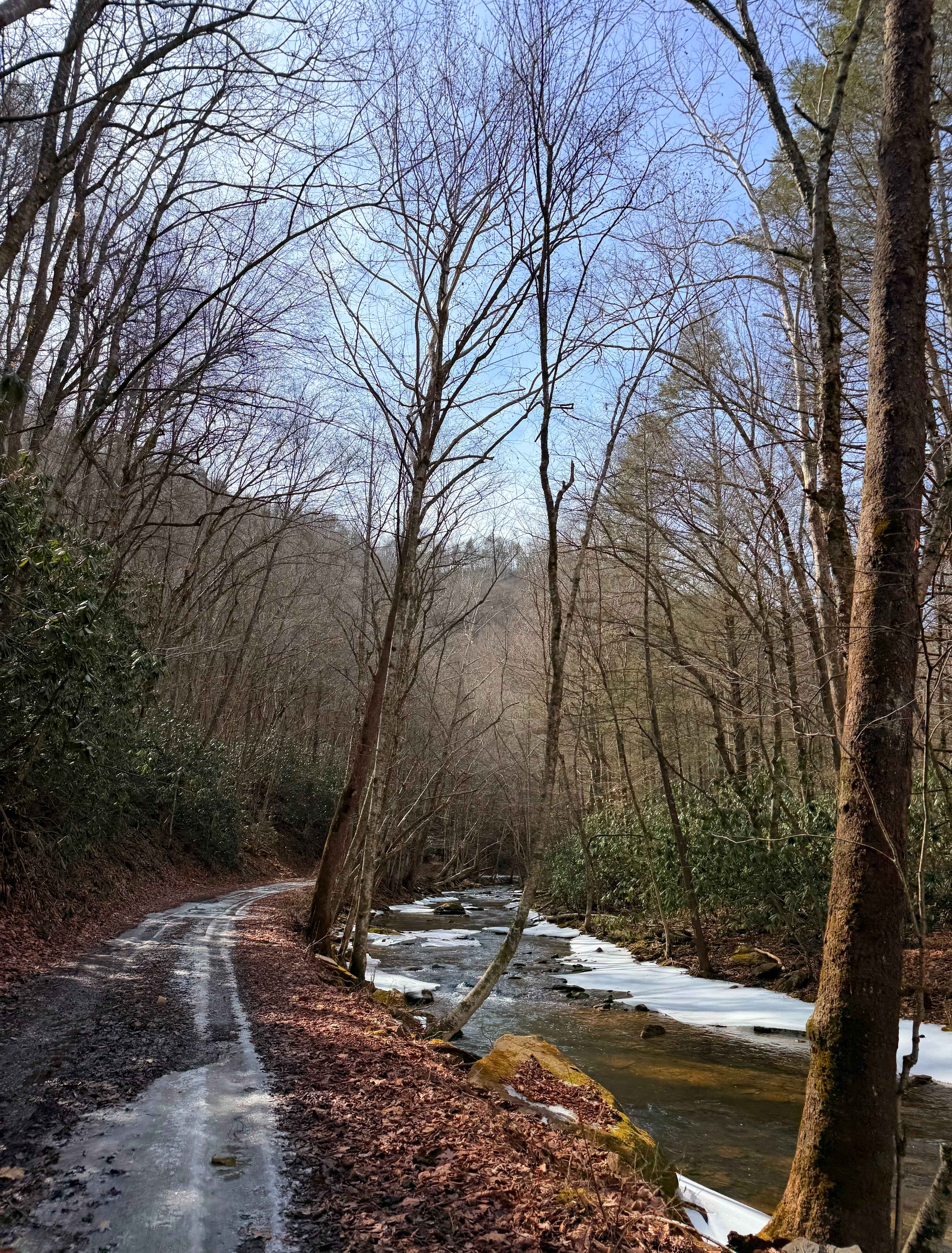
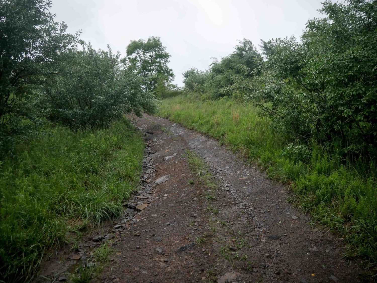
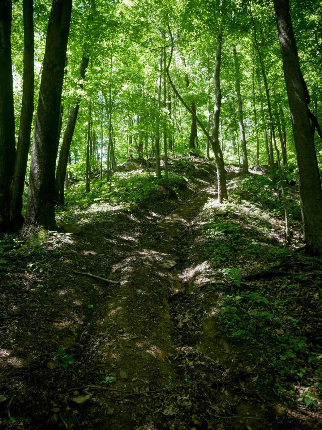
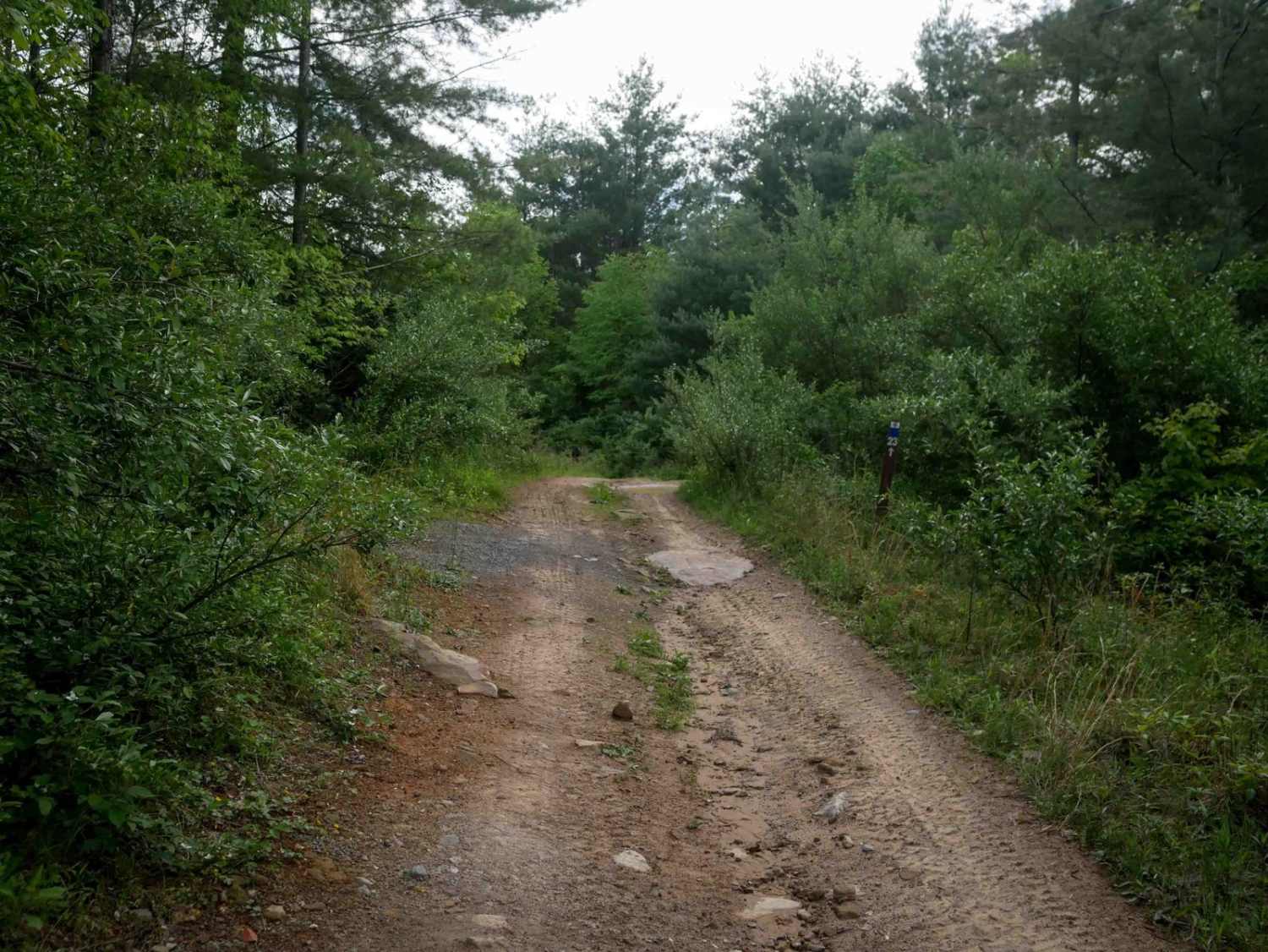
This trail is a point-to-point route that begins as a two-track gravel road following Caney Creek. Expect multiple water crossings; depending on recent rainfall, these can range from A foot deep to completely impassable. The initial stretch features several pull-offs offering stunning views of towering rock faces and small waterfalls. As you advance, the trail veers away from the creek and climbs onto an abandoned strip mine. Upon reaching the top, the path narrows significantly, introducing a steep off-camber section with pitches and rolls reaching up to 18 degrees. After navigating these technical areas, the trail transitions back into a simple gravel road that leads to the main road. Notes: Limited cell service, remote area, open year-round, and the trail can be ridden in either direction.
Photos of Caney Creek
Difficulty
A stock full-width 4x4 can do this trail with the appropriate tires. The water crossings are anywhere from a foot to impassable, depending on the amount of rainfall the area has received. The off-camber section is rutted out, and if it's muddy, this could be somewhat difficult for completely stock vehicles.
Status Reports
Caney Creek can be accessed by the following ride types:
- High-Clearance 4x4
- SUV
- SxS (60")
- ATV (50")
- Dirt Bike
Caney Creek Map
Popular Trails

The onX Offroad Difference
onX Offroad combines trail photos, descriptions, difficulty ratings, width restrictions, seasonality, and more in a user-friendly interface. Available on all devices, with offline access and full compatibility with CarPlay and Android Auto. Discover what you’re missing today!