Off-Road Trails in Virginia

Discover off-road trails in Virginia

Learn more about FR1176
FR1176

FR1176

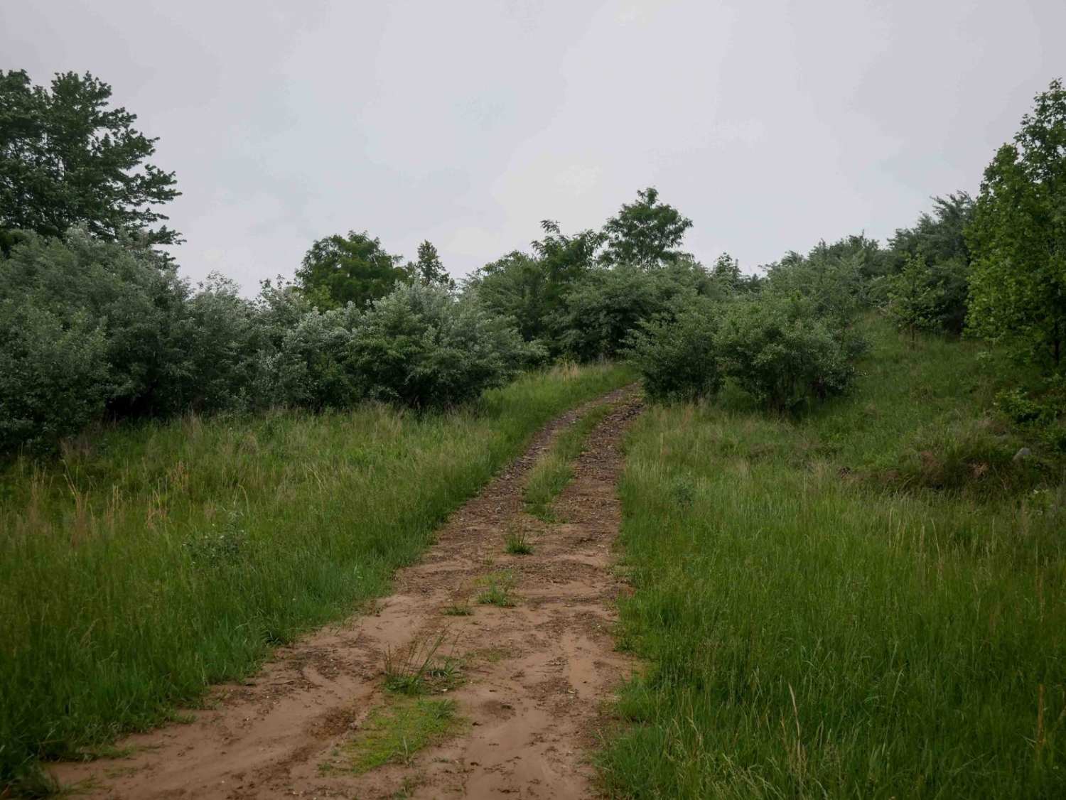
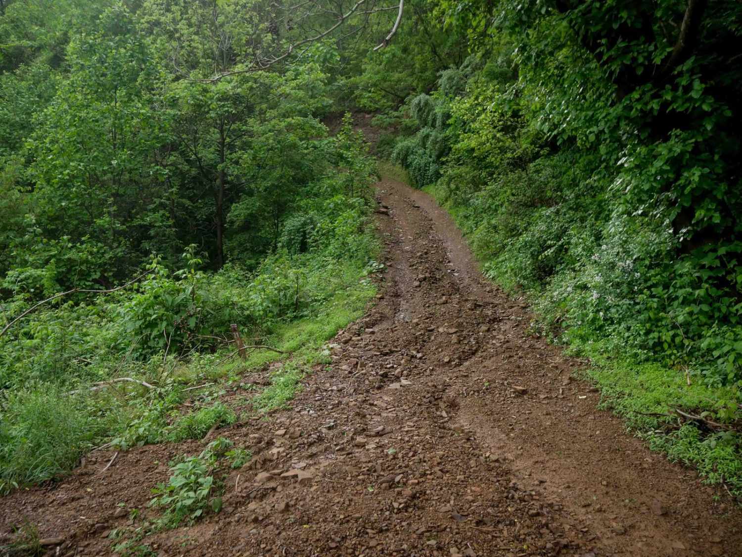
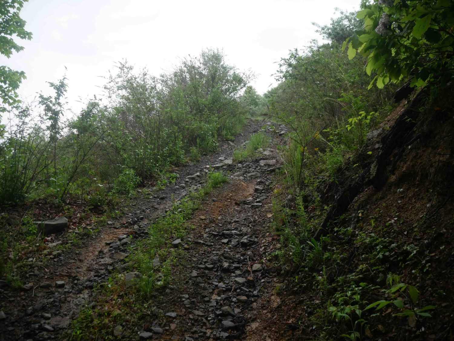
FR 1176 leads from Big Piney up to a peak where cell towers can be found. The drive up includes several rocky sections, some steep sections and rock ledges. This trail also provides access to…
Learn more about FR1176
Total Miles
1.7
Tech Rating
3 Easy
Best Time
Spring, Summer, Fall, Winter
Learn more about FR51-AT
FR51-AT

FR51-AT

This short offshoot from Hog Camp Trail leads to the Mount Pleasant Scenic Area with opportunities for hiking and camping.
Learn more about FR51-AT
Total Miles
0.1
Tech Rating
2 Easy
Best Time
Spring, Summer, Fall, Winter
Learn more about FS-394 Sugar Tree
FS-394 Sugar Tree

FS-394 Sugar Tree

FS-394/Sugar Tree is a 19-mile-long two-way gravel and dirt trail located in Virginia's George Washington National Forest about an hour west of Staunton. The trail provides outstanding views of the surrounding areas and is easy…
Learn more about FS-394 Sugar Tree
Total Miles
19.1
Tech Rating
2 Easy
Best Time
Fall, Winter, Spring
Learn more about FS-395 Liberty Trail
FS-395 Liberty Trail

FS-395 Liberty Trail

FS-395/Liberty Trail is an in-and-out trail in Virginia's George Washington National Forest approximately an hour west of Staunton. The trail is seasonally closed, so check with the USFS before planning to go here. Liberty Trail…
Learn more about FS-395 Liberty Trail
Total Miles
5.4
Tech Rating
3 Easy
Best Time
Fall, Winter
Learn more about FSR #85-2 Hall Spring Road
FSR #85-2 Hall Spring Road

FSR #85-2 Hall Spring Road

This route will take you along the side of the mountain with beautiful views of Appalachia. This trail feels like an East Coast shelf road since it is mainly single track with only a few…
Learn more about FSR #85-2 Hall Spring Road
Total Miles
9.1
Tech Rating
3 Easy
Best Time
Winter, Fall
Learn more about FSR 72 Long Run Road
FSR 72 Long Run Road

FSR 72 Long Run Road

This Forest Service road has beautiful views of the Appalachian Mountains and 4WD is not required to see them. You will see several campsites right off the road, but there's one with a spectacular view…
Learn more about FSR 72 Long Run Road
Total Miles
15.8
Tech Rating
2 Easy
Best Time
Spring, Summer, Fall, Winter
Learn more about Gauley Ridge Forest Road
Gauley Ridge Forest Road

Gauley Ridge Forest Road

This trail offers scenic views of the mountains as you travel along the ridge. There are several dispersed campsites large enough to fit multiple vehicles with existing fire rings and great views. The trail is…
Learn more about Gauley Ridge Forest Road
Total Miles
7.3
Tech Rating
1 Easy
Best Time
Spring, Summer, Fall, Winter
Learn more about Greasy Springs
Greasy Springs

Greasy Springs

Out and back trails are primarily used to access the Appalachian Trail crossing. Narrow 2 track muddy and narrow in places with numerous short side trails. Many nice camping spots throughout the length of the…
Learn more about Greasy Springs
Total Miles
4.5
Tech Rating
3 Easy
Best Time
Spring, Summer, Fall, Winter
Learn more about Hite Hollow
Hite Hollow

Hite Hollow

Hite Hollow is located in the George Washington National Forest, west of Staunton, VA. It's a basic trail that offers outstanding views of the surrounding area. The trail is mainly rock and dirt and has…
Learn more about Hite Hollow
Total Miles
9.8
Tech Rating
2 Easy
Best Time
Summer, Spring
Learn more about Hog Camp
Hog Camp

Hog Camp

Hog Camp Road provides access to a variety of hiking and camping opportunities in the George Washington National Forest. The south end is well traveled and easily passable, however north of the Mount Pleasant Scenic…
Learn more about Hog Camp
Total Miles
5.8
Tech Rating
3 Easy
Best Time
Spring, Summer, Fall, Winter
Learn more about Hone Quarry
Hone Quarry

Hone Quarry

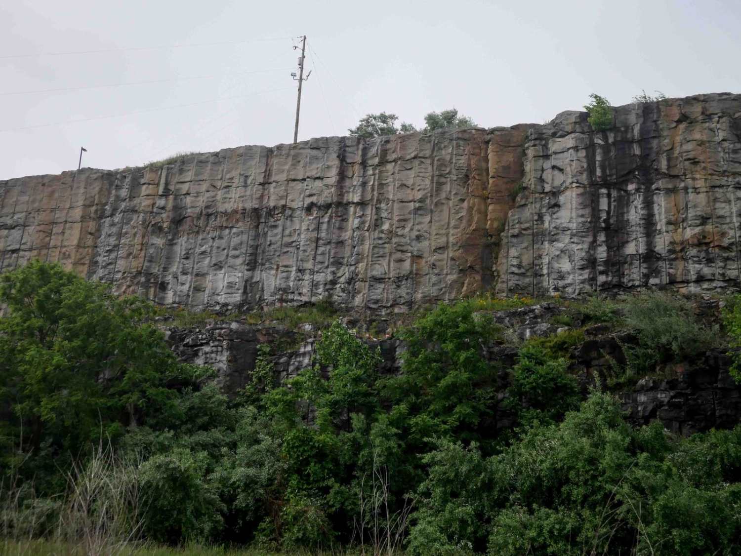
Hone Quarry recreation area is a dead end trail passing by a reservoir. The trail starts paved from the state highway passing by day use picnic areas and a pay campground with amenities. The trail…
Learn more about Hone Quarry
Total Miles
5.7
Tech Rating
3 Easy
Best Time
Spring, Summer, Fall, Winter
Learn more about Hunting Creek
Hunting Creek

Hunting Creek

This out-and-back starts in the valley, and after following along Hunting Creek, it tops out at a gate just past the aptly named Camping Gap. There are a couple of small campsites near the bottom,…
Learn more about Hunting Creek
Total Miles
4.2
Tech Rating
2 Easy
Best Time
Fall, Spring
Learn more about Leading Ridge
Leading Ridge

Leading Ridge

Leading ridge track is a seasonal two way track from North River to Todd Lake Recreation Area. The track is natural dirt surface with minimal gravel maintenance in areas. Several hiking trails cross the area.…
Learn more about Leading Ridge
Total Miles
3.6
Tech Rating
2 Easy
Best Time
Spring, Summer, Fall, Winter
Learn more about Little North Mountain WMA
Little North Mountain WMA

Little North Mountain WMA

Little North Mountain WMA has a mix of seasonally open routes that all dead-end eventually. This route includes a scenic, lightly maintained state road to access the area. The roads are marginally maintained gravel with…
Learn more about Little North Mountain WMA
Total Miles
18.9
Tech Rating
2 Easy
Best Time
Summer, Fall, Winter
Learn more about Lower Rapidan Trail
Lower Rapidan Trail

Lower Rapidan Trail

Experience stunning scenery as you drive along amazing views of the Rapidan River. Enter off State Route 649, Quaker Run Road to Rapidan Road. This section travels through a portion of the Shenandoah State Park…
Learn more about Lower Rapidan Trail
Total Miles
4.6
Tech Rating
1 Easy
Best Time
Spring, Summer
Learn more about Middle Creek
Middle Creek

Middle Creek

This is a dead-end route leading to a junction of 4 other trails. This route has only 2 dispersed sites. This is a maintained gravel forest service road and is primarily used for horseback riding…
Learn more about Middle Creek
Total Miles
4.2
Tech Rating
1 Easy
Best Time
Spring, Summer, Fall, Winter
Learn more about Oi Road
Oi Road

Oi Road

Oi Road offers some nice views as it climbs up the ridgeline. Unlike Patterson Creek Road to the south, there are hardly any spots to get off the road, and any camping would be tight.…
Learn more about Oi Road
Total Miles
5.0
Tech Rating
2 Easy
Best Time
Fall
Learn more about Overstreet Creek
Overstreet Creek

Overstreet Creek

Overstreet Creek climbs from just over 1,300 feet in elevation to 3,250 ft, where it meets the Blue Ridge Parkway. This four-mile-long route is mostly gravel, but some of the steep sections include larger rocks.…
Learn more about Overstreet Creek
Total Miles
4.3
Tech Rating
2 Easy
Best Time
Winter, Spring
Learn more about Pads Creek
Pads Creek

Pads Creek

Pads Creek Trail travels along Forest Service trails and an unmaintained state road. The Eastern portion winds along the creek through gravel National Forest trails with ample camping opportunities. Bubbling Springs day use area with…
Learn more about Pads Creek
Total Miles
9.7
Tech Rating
6 Moderate
Best Time
Spring, Summer, Fall, Winter
Learn more about Parkers Gap
Parkers Gap

Parkers Gap

Parkers Gap trail is a gravel forest service road, running from Cave Mountain Lake to the Blue Ridge Parkway. The surface is gravel and pot hole strewn. Cell service is spotty throughout the area. Numerous…
Learn more about Parkers Gap
Total Miles
12.6
Tech Rating
1 Easy
Best Time
Spring, Summer, Fall, Winter

Go Farther

Try onX Offroad Elite for free for a week — no strings attached. Get access to thousands of off-road dirt trails and snowmobile trails across the nation. View your favorite zones in 3D. Send trails to friends. Start planning the trip of a lifetime now.