CC40
Total Miles
1.8
Technical Rating
Best Time
Fall, Spring, Summer, Winter
Trail Type
60" Trail
Accessible By
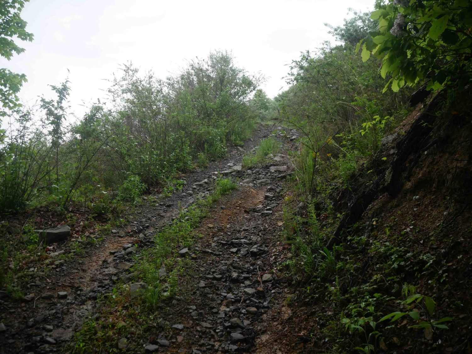
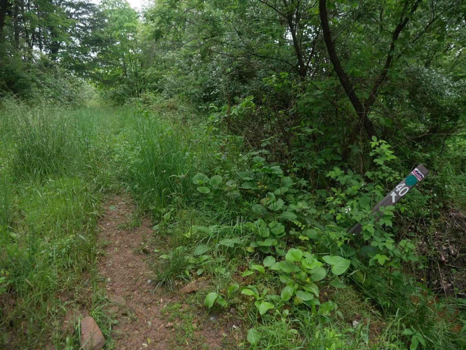
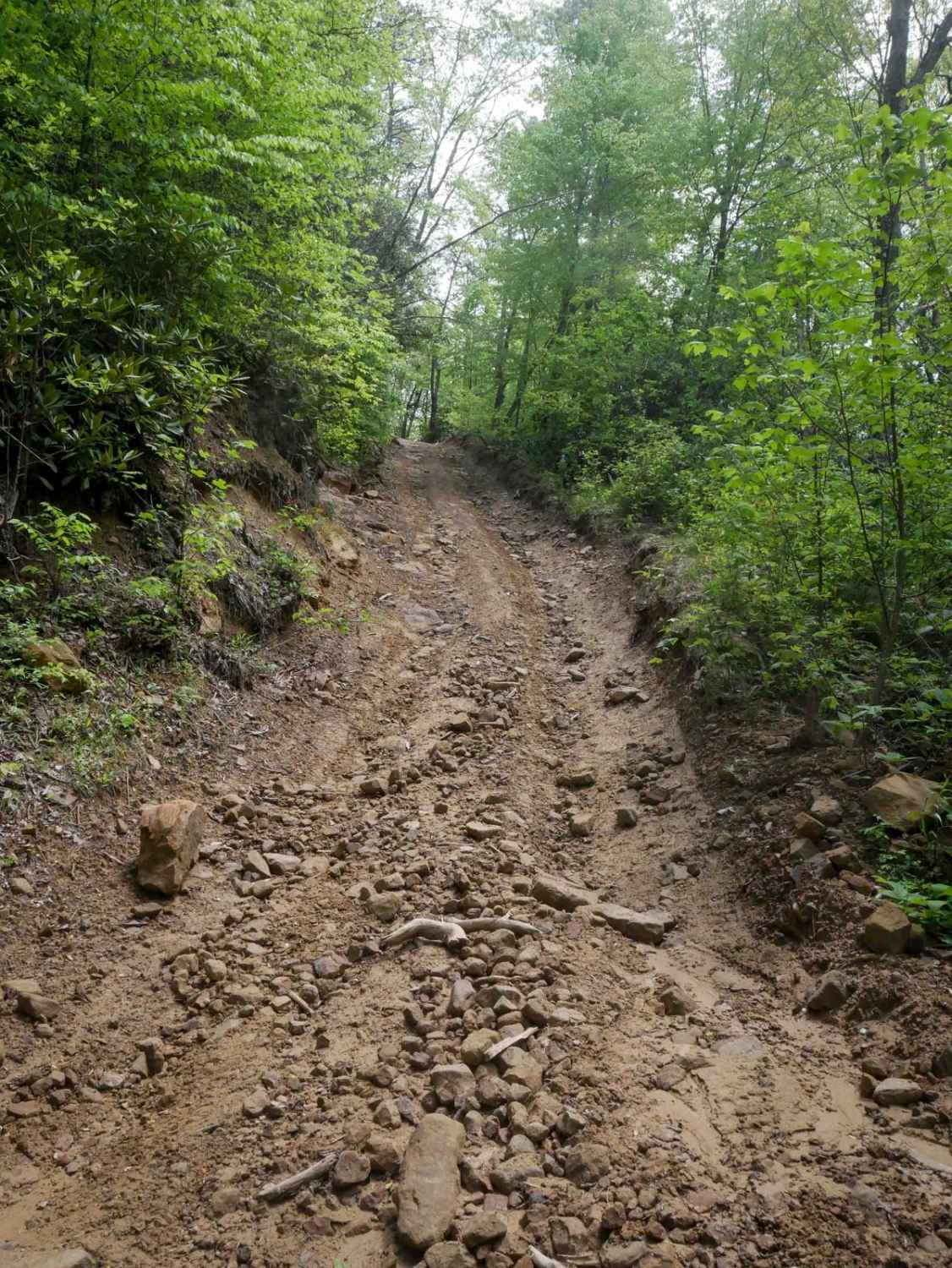
Trail Overview
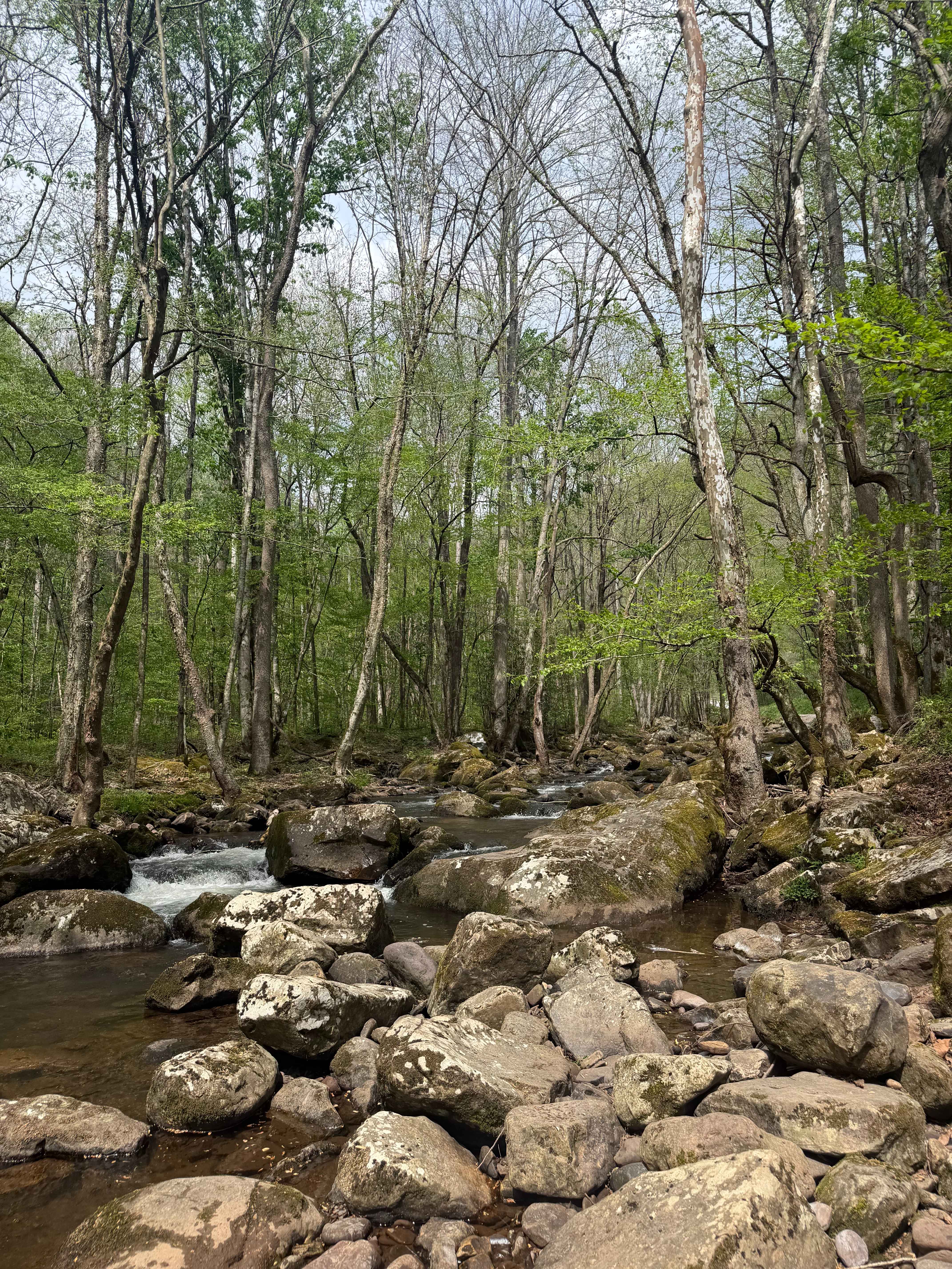
CC40 is a 1.8-mile scenic route that runs along the edge of a hillside with expansive views over surrounding mountains and valleys. The trail is mostly easy, featuring grassy, overgrown sections with standing water and the occasional downed branch or tree. While some of the route is flat and straight, there are steeper segments with loose or embedded rock as it winds over small hills. Some areas feel more enclosed by brush, but overall, it's a pleasant trail. CC40 also crosses State Route 744--use caution at the crossing point.
Photos of CC40
Difficulty
This is a moderately easy route with steep rocky climbs, ideal for most average riders.
Status Reports
CC40 can be accessed by the following ride types:
- SxS (60")
- ATV (50")
- Dirt Bike
CC40 Map
Popular Trails
OP 25 (Part 1)

Bailey Gap to Butte Mountain
Tumbling Creek Road
The onX Offroad Difference
onX Offroad combines trail photos, descriptions, difficulty ratings, width restrictions, seasonality, and more in a user-friendly interface. Available on all devices, with offline access and full compatibility with CarPlay and Android Auto. Discover what you’re missing today!