Off-Road Trails in Virginia
Discover off-road trails in Virginia


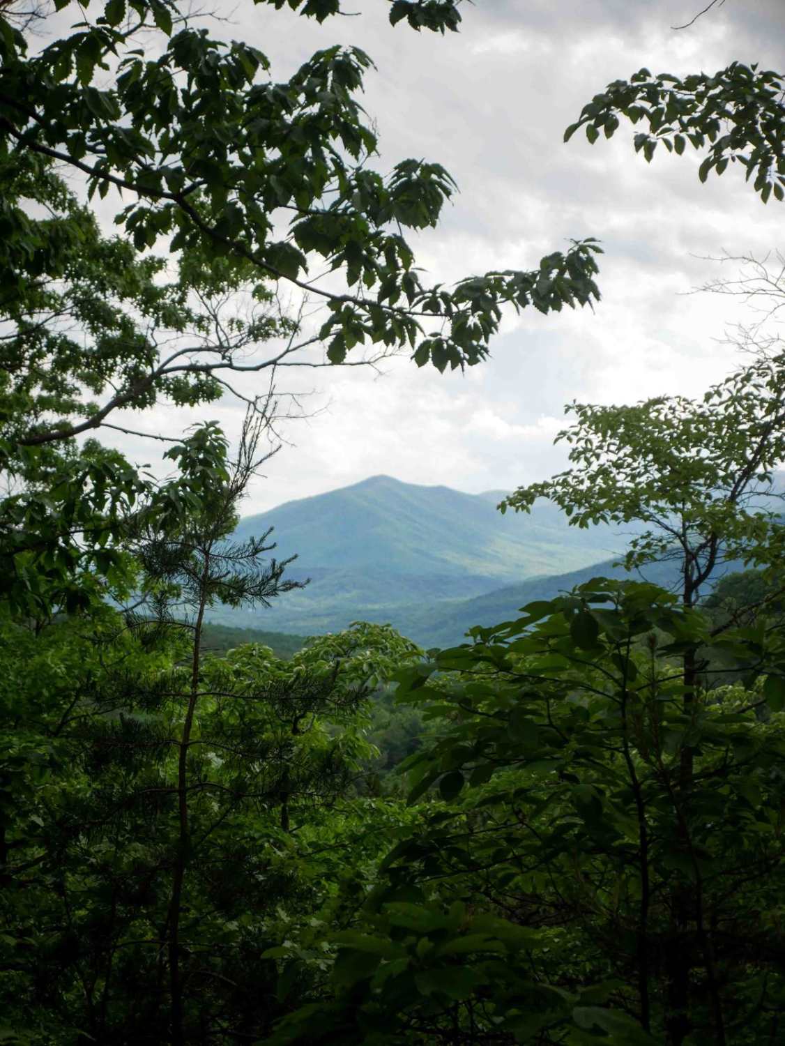
Learn more about Laurel Bed Lake
Laurel Bed Lake
Total Miles
3.0
Tech Rating
Easy
Best Time
Fall, Summer, Spring, Winter
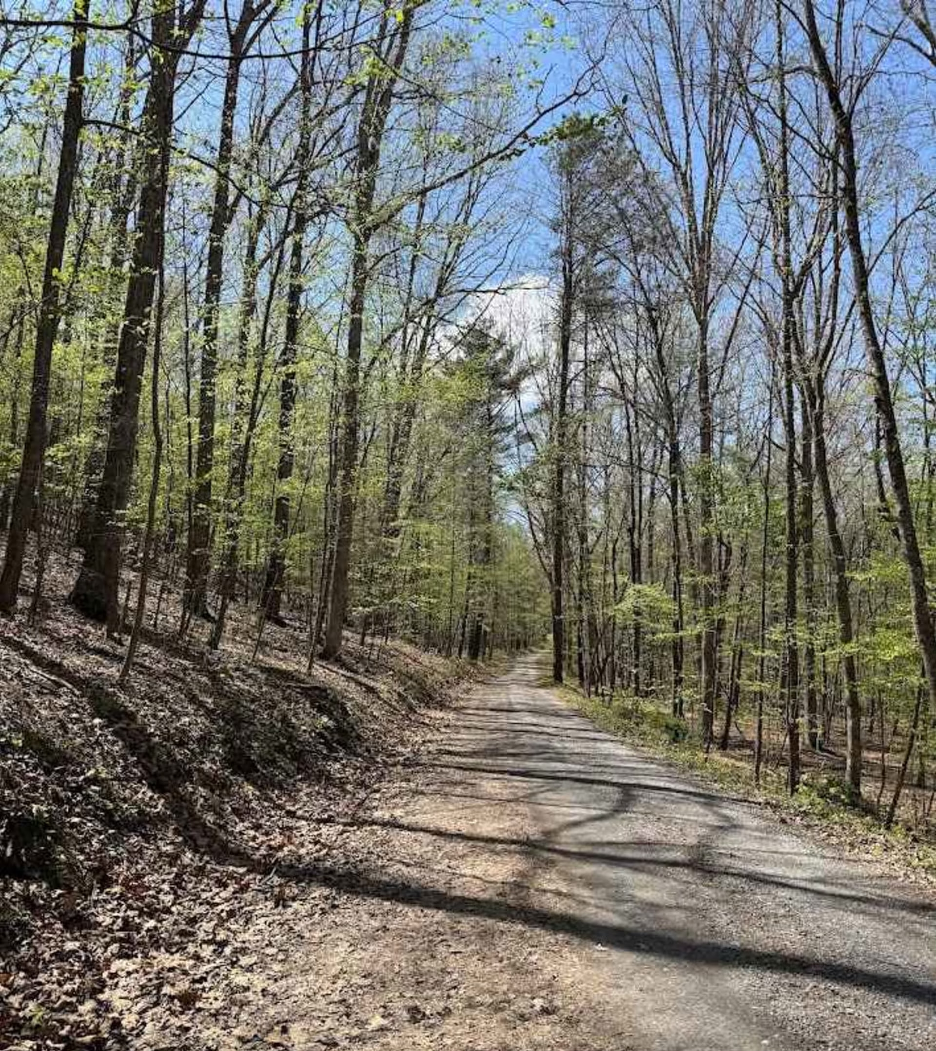
Learn more about Leading Ridge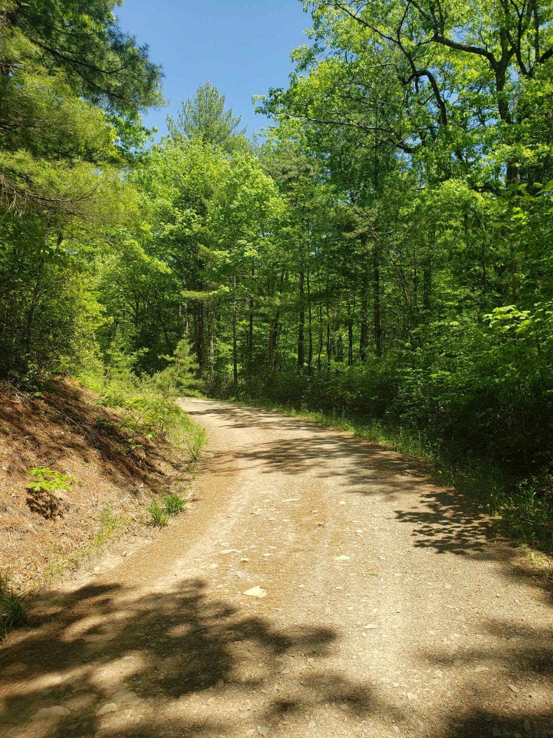
Leading Ridge
Total Miles
3.6
Tech Rating
Easy
Best Time
Spring, Summer, Fall, Winter
Learn more about Little Irish Road - FS 311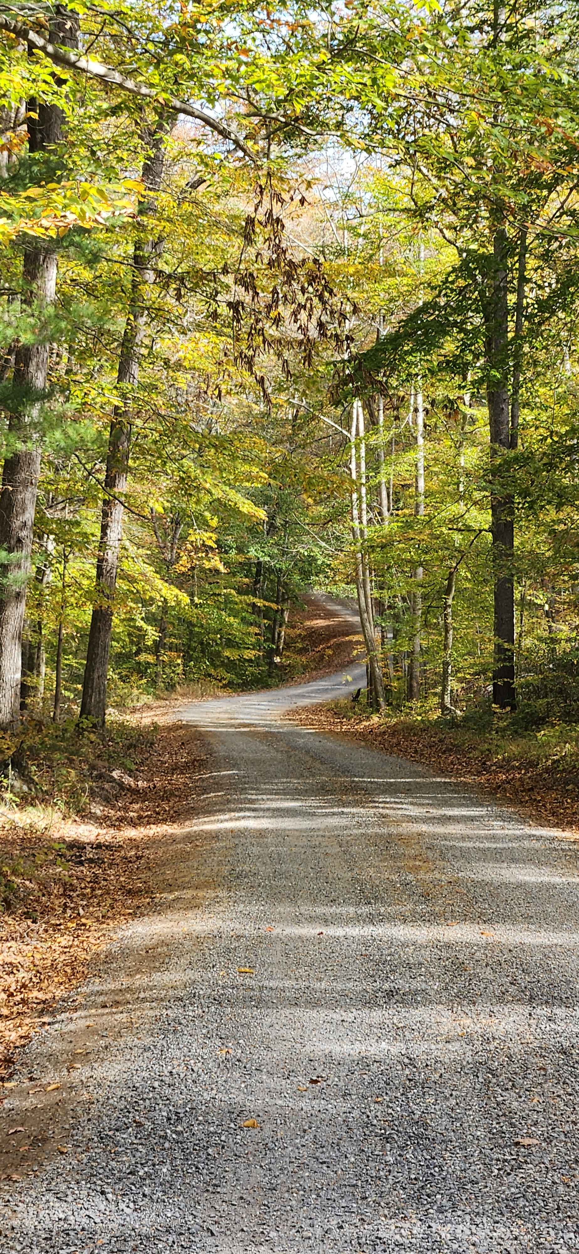
Little Irish Road - FS 311
Total Miles
2.6
Tech Rating
Easy
Best Time
Summer, Fall, Spring
Learn more about Little North Mountain WMA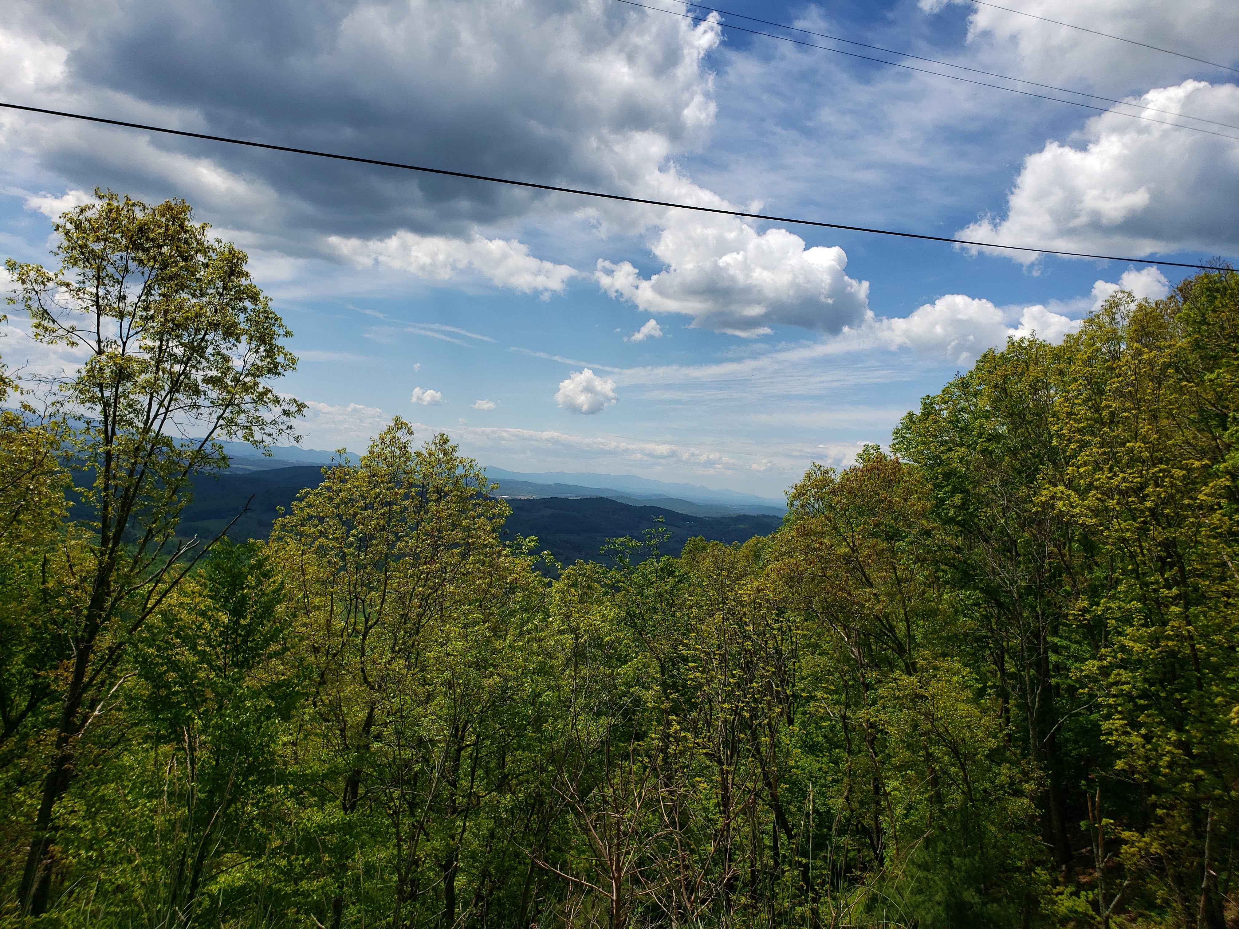
Little North Mountain WMA
Total Miles
18.9
Tech Rating
Easy
Best Time
Summer, Fall, Winter
Learn more about Locust Spring 
Locust Spring
Total Miles
0.5
Tech Rating
Easy
Best Time
Spring, Summer, Fall, Winter
Learn more about Lone Mountain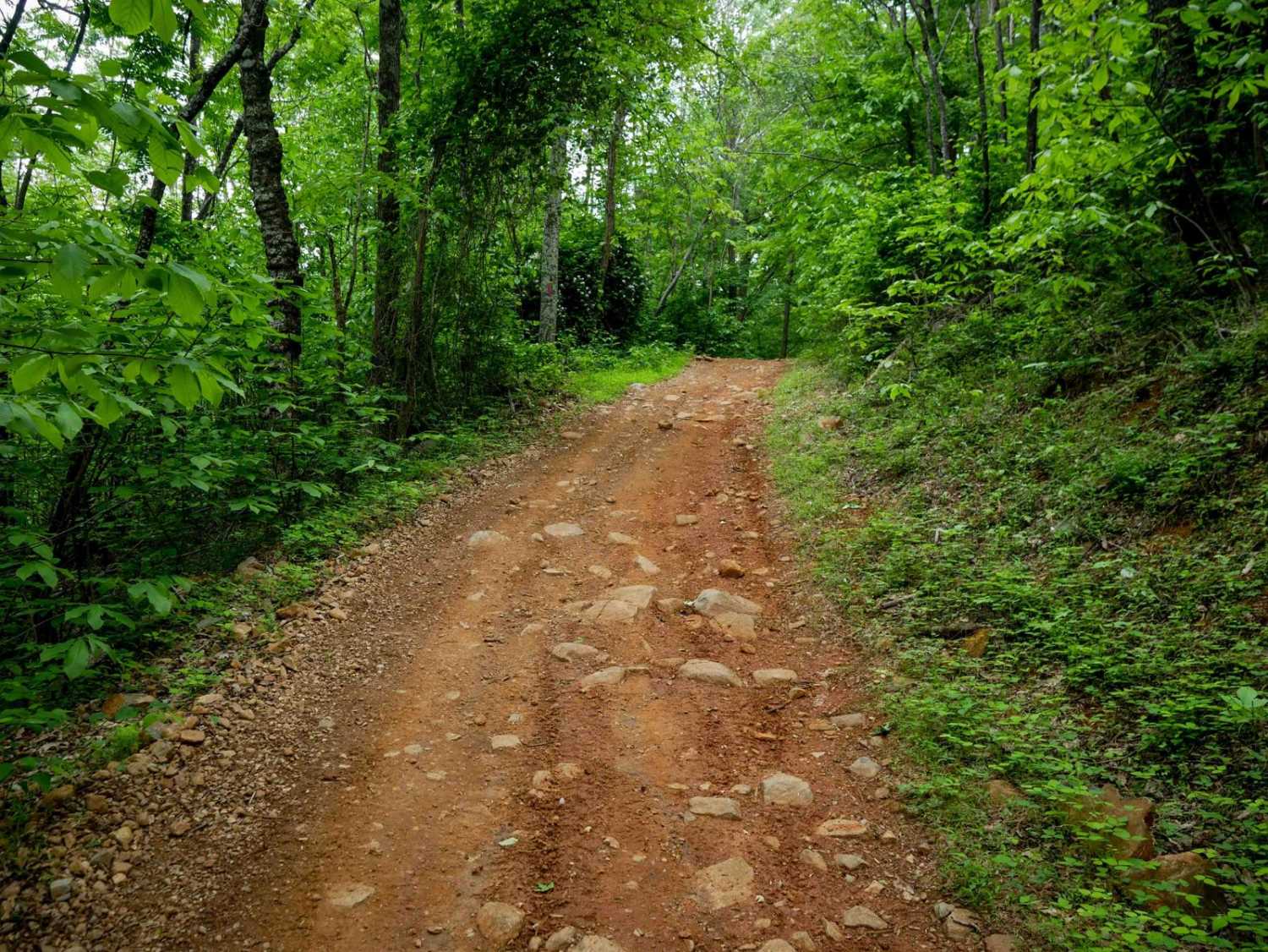
Lone Mountain
Total Miles
1.7
Tech Rating
Easy
Best Time
Spring, Fall, Summer, Winter
Learn more about Middle Creek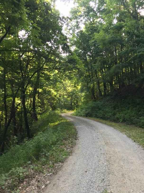
Middle Creek
Total Miles
4.2
Tech Rating
Easy
Best Time
Spring, Summer, Fall, Winter


ATV trails in Virginia
Learn more about 28 Connector
28 Connector
Total Miles
0.1
Tech Rating
Easy
Best Time
Fall, Spring, Summer, Winter

Learn more about Big Piney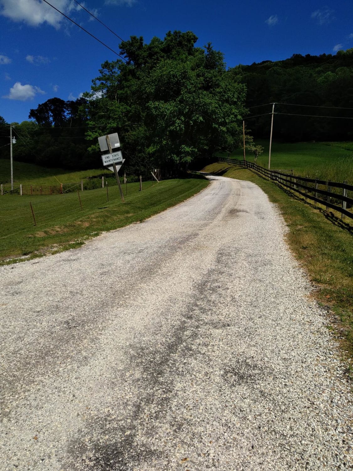
Big Piney
Total Miles
8.9
Tech Rating
Easy
Best Time
Spring, Summer, Fall, Winter
Learn more about Bother Flagpole Knob Trail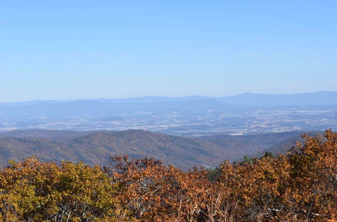
Bother Flagpole Knob Trail
Total Miles
0.6
Tech Rating
Easy
Best Time
Summer, Fall
UTV/side-by-side trails in Virginia
Learn more about 28 Connector
28 Connector
Total Miles
0.1
Tech Rating
Easy
Best Time
Fall, Spring, Summer, Winter
Learn more about Big Piney
Big Piney
Total Miles
8.9
Tech Rating
Easy
Best Time
Spring, Summer, Fall, Winter
Learn more about Bother Flagpole Knob Trail
Bother Flagpole Knob Trail
Total Miles
0.6
Tech Rating
Easy
Best Time
Summer, Fall
The onX Offroad Difference
onX Offroad combines trail photos, descriptions, difficulty ratings, width restrictions, seasonality, and more in a user-friendly interface. Available on all devices, with offline access and full compatibility with CarPlay and Android Auto. Discover what you’re missing today!