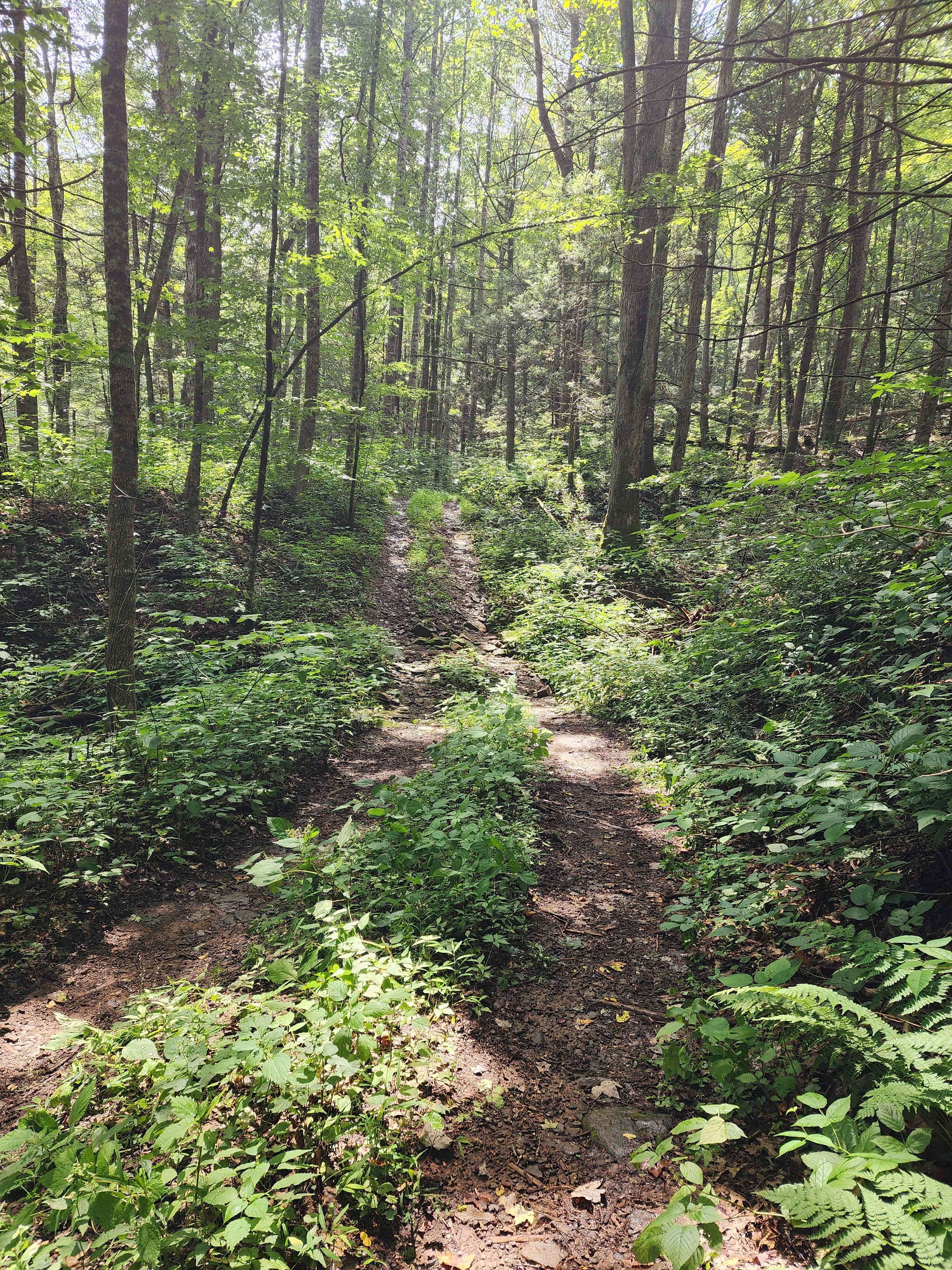
Off-Road Trails in Virginia
Discover off-road trails in Virginia
Learn more about Drop Zone
Drop Zone
Total Miles
0.5
Tech Rating
Moderate
Best Time
Fall, Spring, Summer, Winter
Learn more about Edinburg Gap 
Edinburg Gap
Total Miles
5.6
Tech Rating
Easy
Best Time
Spring, Summer, Fall, Winter
Learn more about Emerald Pond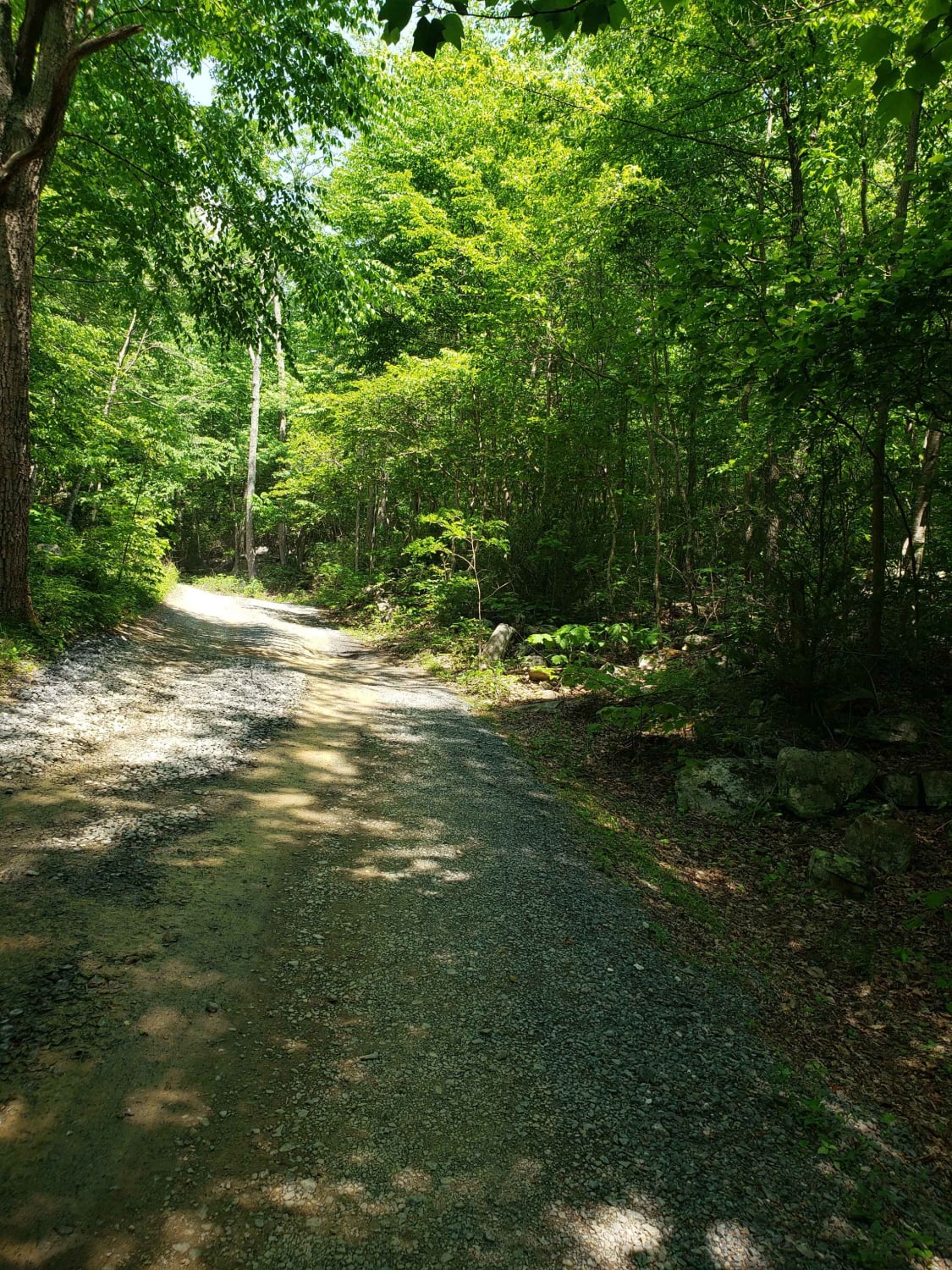
Emerald Pond
Total Miles
5.6
Tech Rating
Easy
Best Time
Spring, Summer, Fall, Winter
Learn more about Enchanted Creek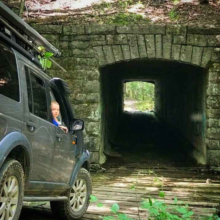
Enchanted Creek
Total Miles
4.7
Tech Rating
Easy
Best Time
Summer, Fall, Winter
Learn more about Fenwick Mines
Fenwick Mines
Total Miles
6.3
Tech Rating
Easy
Best Time
Spring, Summer, Fall, Winter
Learn more about Fire Tower Scramble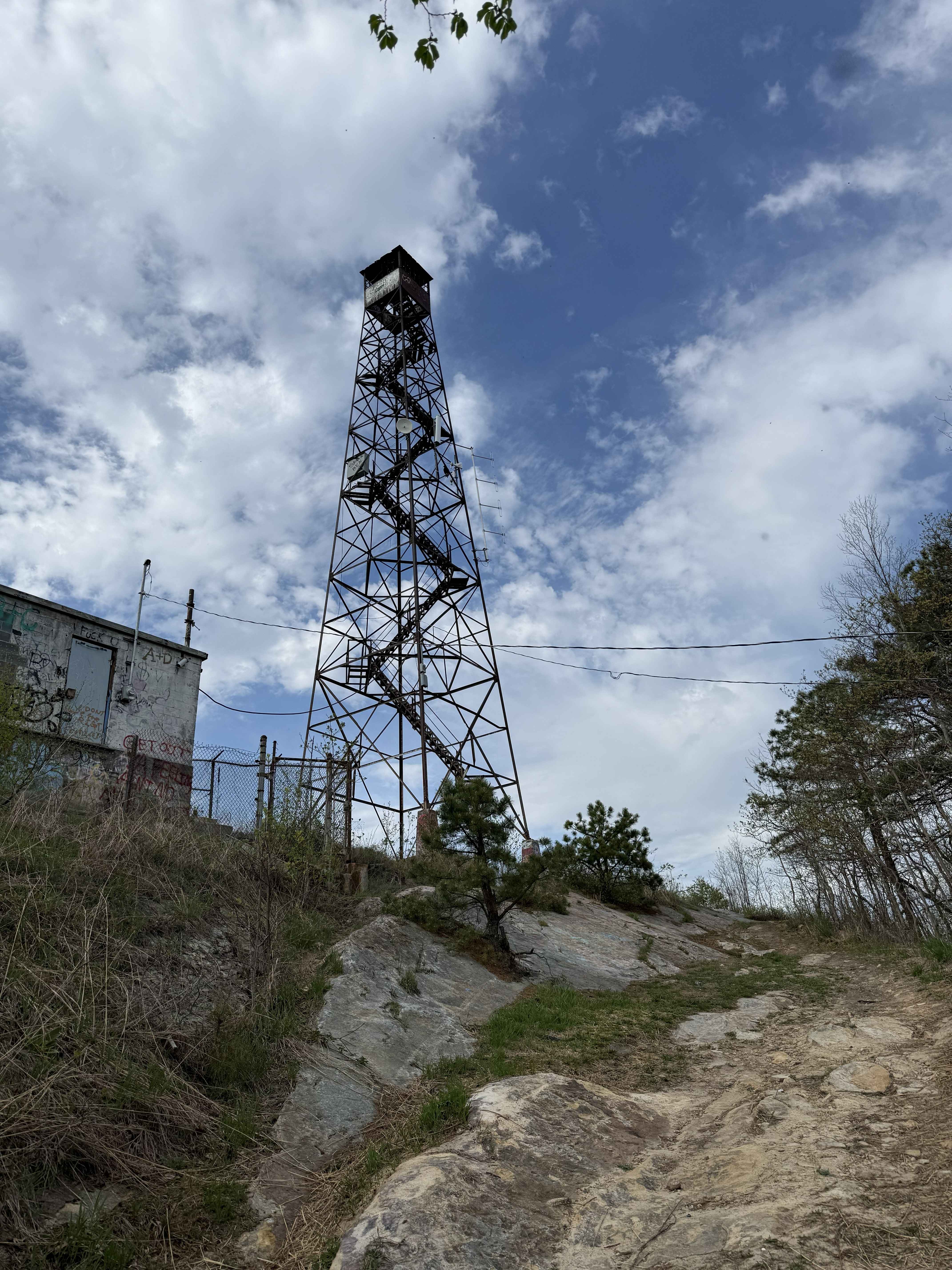
Fire Tower Scramble
Total Miles
0.7
Tech Rating
Moderate
Best Time
Spring, Summer, Fall, Winter
Learn more about Flagpole Knob
Flagpole Knob
Total Miles
12.9
Tech Rating
Easy
Best Time
Spring, Summer, Fall, Winter
Learn more about Fort Seybert Trail
Fort Seybert Trail
Total Miles
10.3
Tech Rating
Easy
Best Time
Spring, Summer, Fall, Winter
Learn more about FS-394 Sugar Tree
FS-394 Sugar Tree
Total Miles
19.1
Tech Rating
Easy
Best Time
Fall, Winter, Spring
Learn more about FS-395 Liberty Trail
FS-395 Liberty Trail
Total Miles
5.4
Tech Rating
Easy
Best Time
Fall, Winter
Learn more about FSR #85-2 Hall Spring Road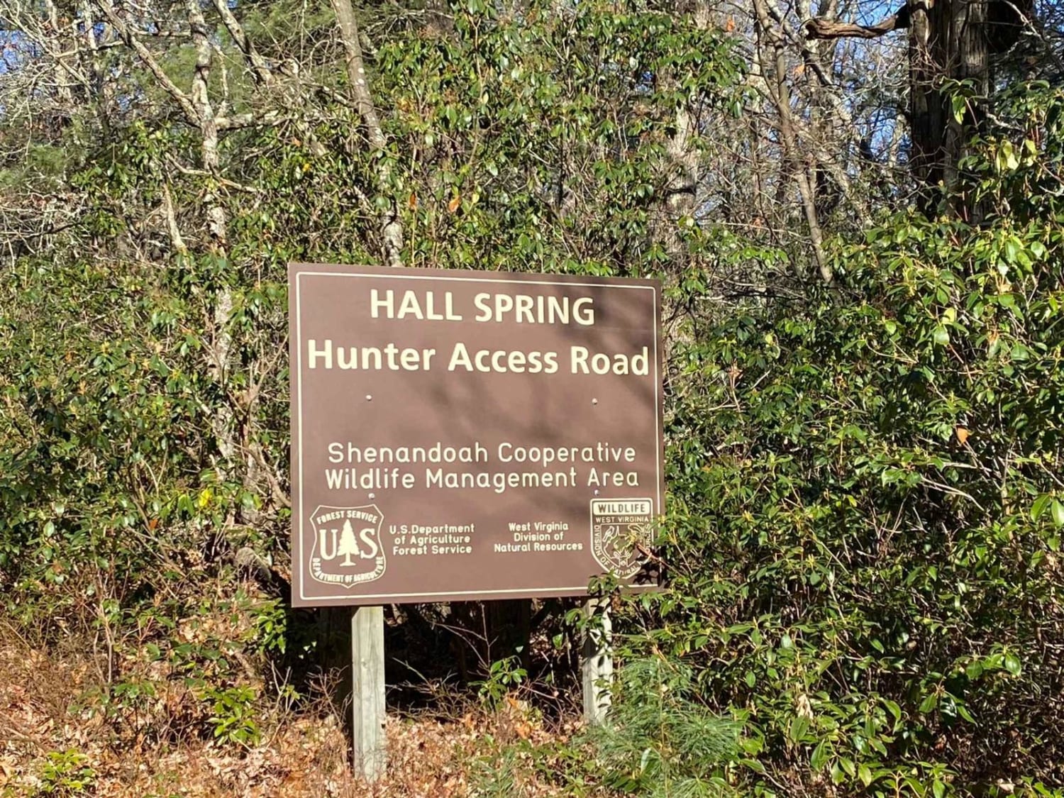
FSR #85-2 Hall Spring Road
Total Miles
9.1
Tech Rating
Easy
Best Time
Winter, Fall
Learn more about FSR 72 Long Run Road
FSR 72 Long Run Road
Total Miles
15.8
Tech Rating
Easy
Best Time
Spring, Summer, Fall, Winter
Learn more about Gauley Ridge Forest Road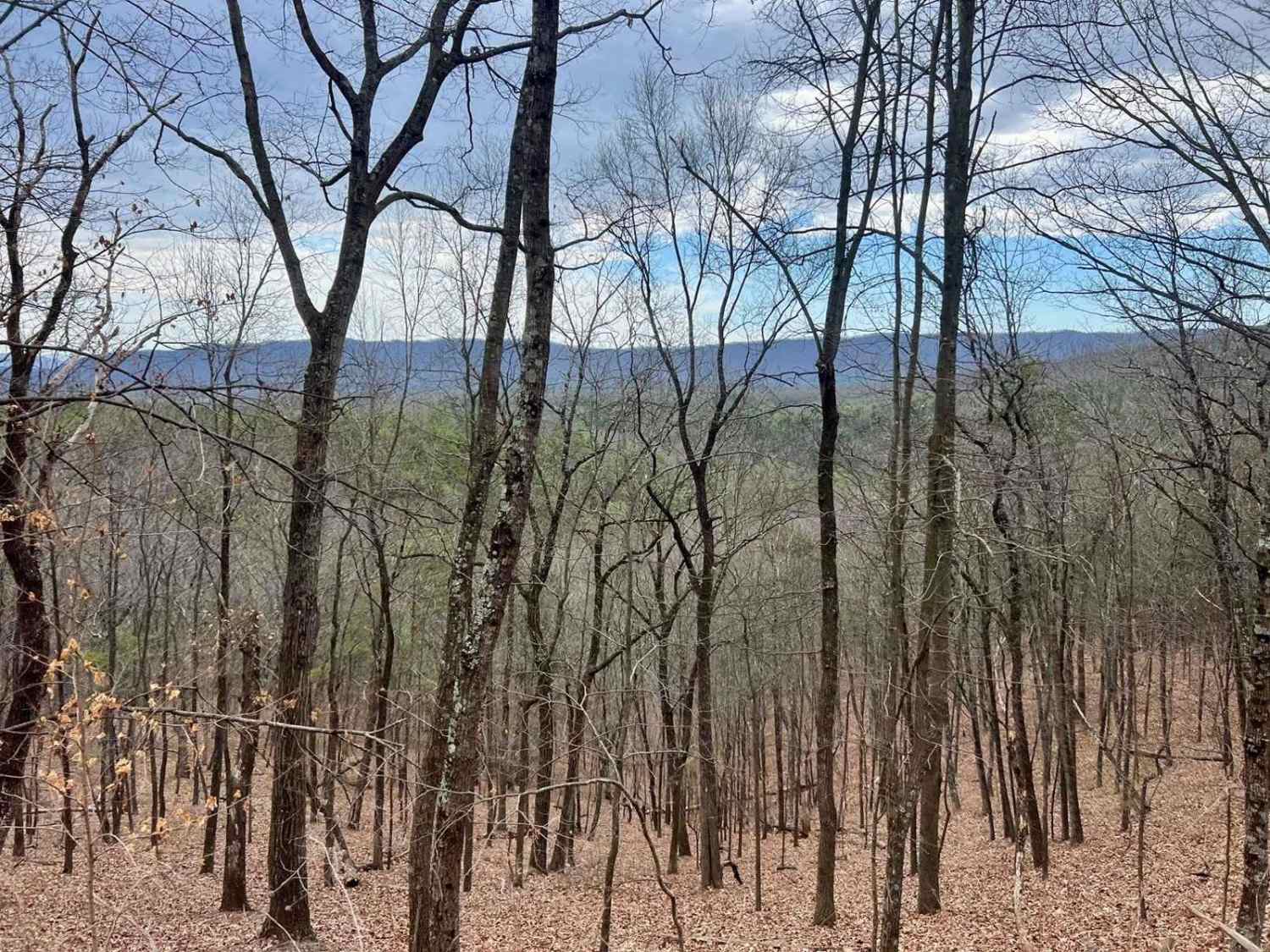
Gauley Ridge Forest Road
Total Miles
7.3
Tech Rating
Easy
Best Time
Spring, Summer, Fall, Winter
Learn more about German River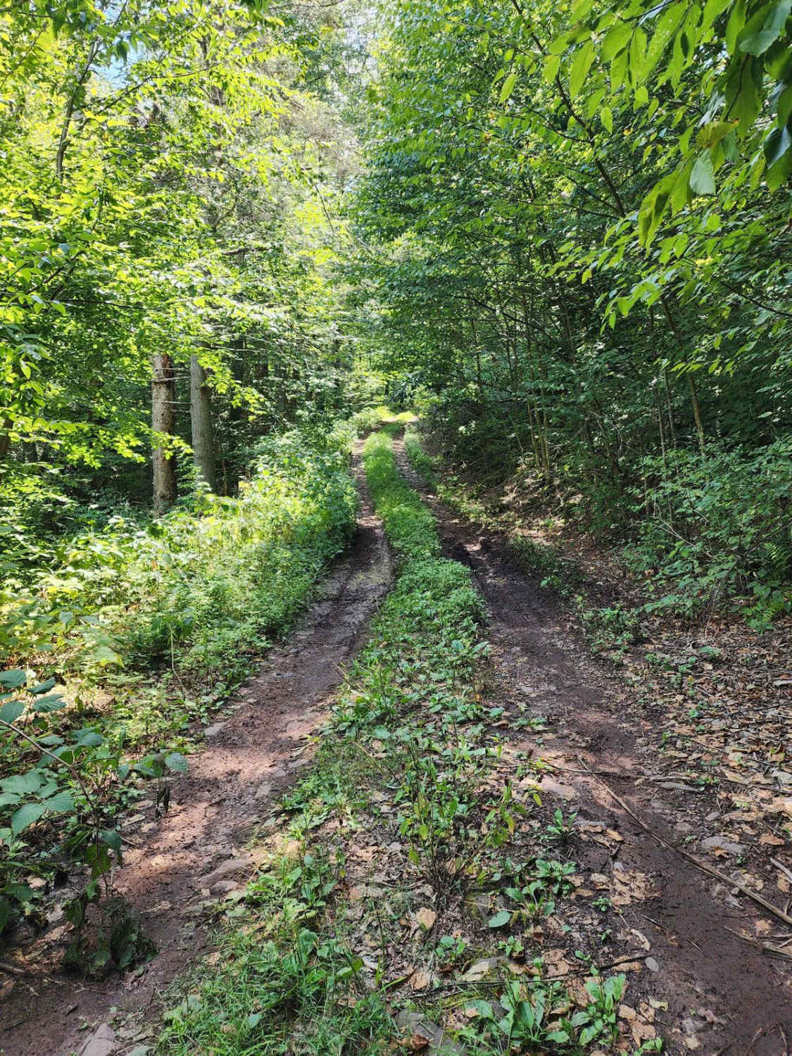
German River
Total Miles
8.7
Tech Rating
Moderate
Best Time
Spring, Summer, Fall
Learn more about Government Road - FS 43
Government Road - FS 43
Total Miles
6.3
Tech Rating
Easy
Best Time
Spring, Summer, Fall
ATV trails in Virginia
Learn more about 28 Connector
28 Connector
Total Miles
0.1
Tech Rating
Easy
Best Time
Fall, Spring, Summer, Winter

Learn more about Big Piney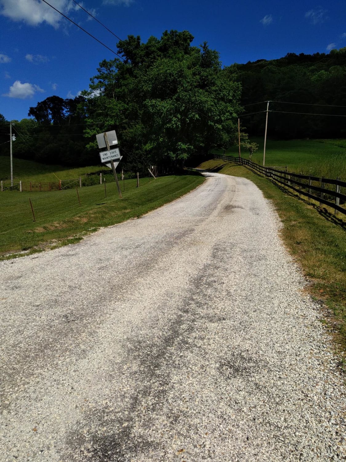
Big Piney
Total Miles
8.9
Tech Rating
Easy
Best Time
Spring, Summer, Fall, Winter
Learn more about Bother Flagpole Knob Trail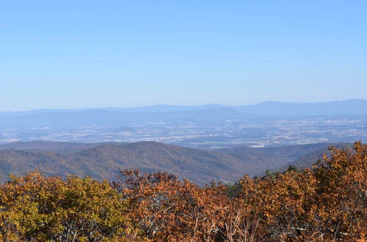
Bother Flagpole Knob Trail
Total Miles
0.6
Tech Rating
Easy
Best Time
Summer, Fall
UTV/side-by-side trails in Virginia
Learn more about 28 Connector
28 Connector
Total Miles
0.1
Tech Rating
Easy
Best Time
Fall, Spring, Summer, Winter
Learn more about Big Piney
Big Piney
Total Miles
8.9
Tech Rating
Easy
Best Time
Spring, Summer, Fall, Winter
Learn more about Bother Flagpole Knob Trail
Bother Flagpole Knob Trail
Total Miles
0.6
Tech Rating
Easy
Best Time
Summer, Fall
The onX Offroad Difference
onX Offroad combines trail photos, descriptions, difficulty ratings, width restrictions, seasonality, and more in a user-friendly interface. Available on all devices, with offline access and full compatibility with CarPlay and Android Auto. Discover what you’re missing today!