2 trails found in Virginia
Which "flagpole knob" are you looking for?
We found 2 off-road trails in Virginia matching your search. Pick the one you're looking for below.
Bother Flagpole Knob Trail
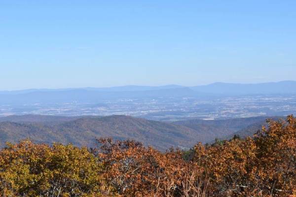
Great views along the ridge off to the west. Rating 2 out of 10 is easily manageable with a high clearance 4x4 (examples: Colorado ATX, Trailboss, Rubicon). Some rough terrain, but nothing you can’t manage with a lifted 4x4 jeep or truck. This is a narrow trail that would require coordination to pas...
Learn more about Bother Flagpole Knob Trail
Flagpole Knob
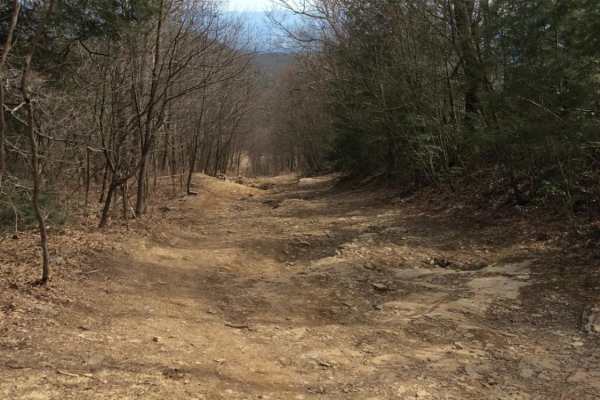
Flagpole Knob is located in the George Washington National Forest, along the border of Virginia and West Virginia. Open year-round, access to Flagpole Knob can be from Switzer Lake Road, Union Springs, or Briery Branch Gap. The route shown begins on Switzer Lake Road off Hwy 33, 20 miles west of Har...
Learn more about Flagpole Knob