Off-Road Trails in Virginia

Discover off-road trails in Virginia

Learn more about Patterson Creek
Patterson Creek

Patterson Creek

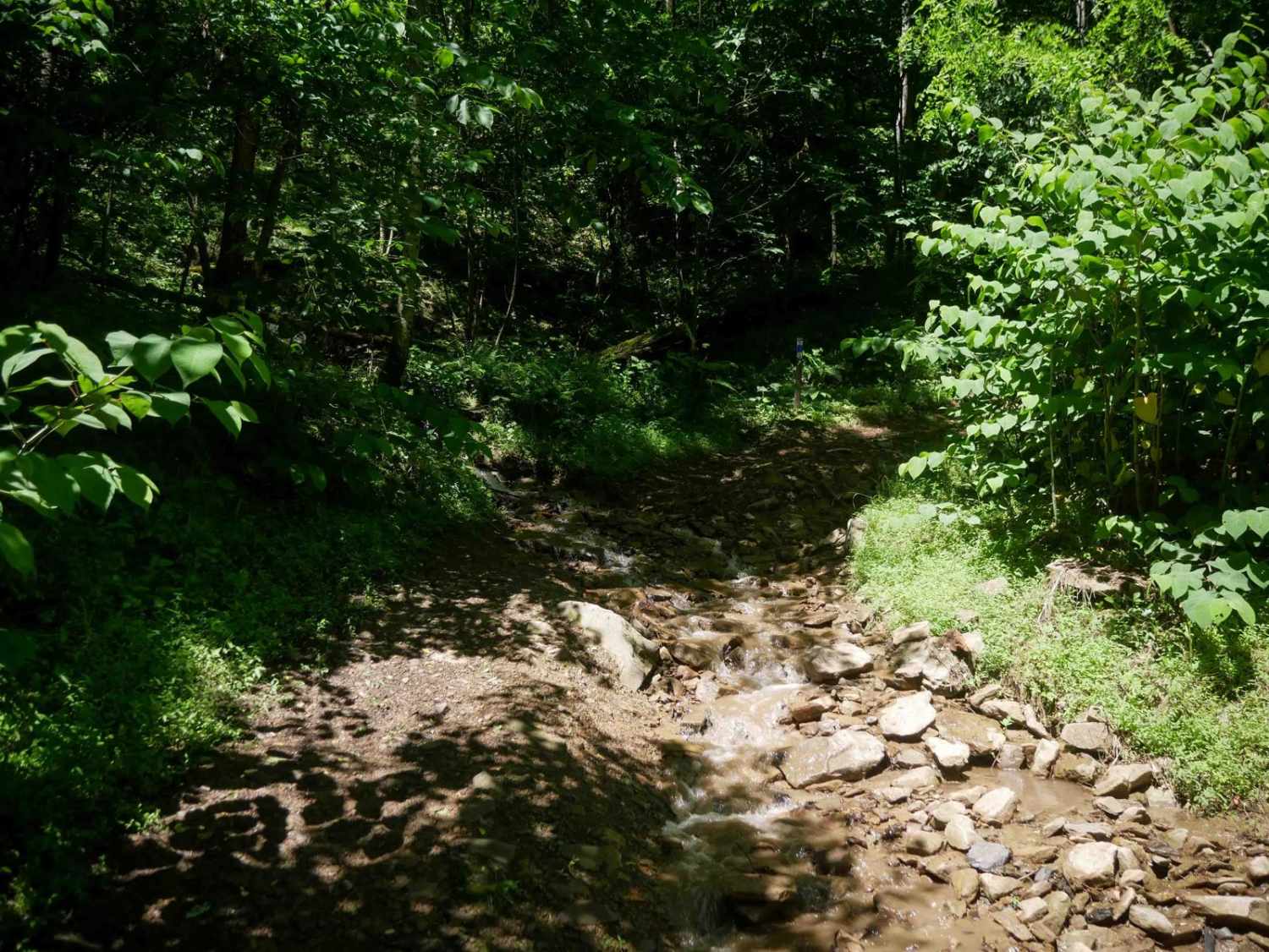
Patterson Creek Road is a great spot to find creek-side campsites. There are a half dozen sites scattered along this 7-mile route. Some are just off of the road, and a few are further off…
Learn more about Patterson Creek
Total Miles
7.2
Tech Rating
2 Easy
Best Time
Fall
Learn more about Peters Mill Run
Peters Mill Run

Peters Mill Run

Peters Mill Run is an easy point-to-point trail near Fort Valley, Virginia. The trail is stock friendly and is a great spot for those new to off-roading. The trail can be entered from either the…
Learn more about Peters Mill Run
Total Miles
8.3
Tech Rating
3 Easy
Best Time
Spring, Summer, Fall
Learn more about Pine Mountain
Pine Mountain

Pine Mountain

Locally known as The Scales, Pine Mountain Road is a gravel and dirt road that connects to the Scales Group Camp. The camping area is on the border of Grayson Highlands State Park and the…
Learn more about Pine Mountain
Total Miles
4.0
Tech Rating
2 Easy
Best Time
Fall
Learn more about Pond Lick Road
Pond Lick Road

Pond Lick Road

This dirt track travels just north of Gatewood Reservoir. At just under 3 miles, it's a great quick run, or you can add to a route that includes some of the other local forest roads.…
Learn more about Pond Lick Road
Total Miles
2.6
Tech Rating
3 Easy
Best Time
Fall
Learn more about Potts Mountain Jeep Trail
Potts Mountain Jeep Trail

Potts Mountain Jeep Trail

Potts Mountain Jeep Trail is no joke! This was a very challenging trial for my Jeep with a 3.5" lift on 37's I drug and winched several times. Potts Mountain is rocks, rocks, and more…
Learn more about Potts Mountain Jeep Trail
Total Miles
7.4
Tech Rating
7 Difficult
Best Time
Summer, Spring, Fall
Learn more about Powell's Gap
Powell's Gap

Powell's Gap

This is a gravel FS road leading to prime trout water. It's a scenic short path off the Blue Ridge Parkway. Go to the end of the road and take a left onto Jennings Creek.…
Learn more about Powell's Gap
Total Miles
4.1
Tech Rating
1 Easy
Best Time
Summer, Fall, Spring, Winter
Learn more about Reddish Knob
Reddish Knob

Reddish Knob

This 20-plus miles of George Washington National Forest back roads stretches from Braley Pond to Briery Branch Gap. With the exception of the northern 2.5 miles of the route which is paved, the rest is…
Learn more about Reddish Knob
Total Miles
19.4
Tech Rating
2 Easy
Best Time
Spring, Summer, Fall, Winter
Learn more about Reservoir Rd. to Irish Creek
Reservoir Rd. to Irish Creek

Reservoir Rd. to Irish Creek

Located in the Amhurst county portion of the George Washington National Forest this is easy gravel trail has a lot to offer. Reservoir road runs parallel to the Pedlar river which offers great trout fishing…
Learn more about Reservoir Rd. to Irish Creek
Total Miles
8.0
Tech Rating
1 Easy
Best Time
Spring, Summer, Fall, Winter
Learn more about Second Mountain Trail
Second Mountain Trail

Second Mountain Trail

The trail starts at the top at a small staging area frequently used to offload SxS vehicles or at the bottom off US-33. There is a gate at the top and bottom for controlled access…
Learn more about Second Mountain Trail
Total Miles
5.4
Tech Rating
4 Moderate
Best Time
Spring, Summer, Fall
Learn more about Shady Mountain Road
Shady Mountain Road

Shady Mountain Road

The northern end of Shady Mountain Road starts just east of the Blue Ridge Parkway near the town of Buena Vista. It travels mostly south towards the Lynchburg Reservoir for 7.5 miles. Along the route,…
Learn more about Shady Mountain Road
Total Miles
7.6
Tech Rating
2 Easy
Best Time
Fall
Learn more about Shaws Fork
Shaws Fork

Shaws Fork

Shaws Fork is an in-and-out trail located in the George Washington National Forest near the popular Flagpole Knob Trail. The trail primarily consists of a gravel road with many switchbacks. The trail begins at County…
Learn more about Shaws Fork
Total Miles
5.4
Tech Rating
2 Easy
Best Time
Summer, Fall
Learn more about St. Mary's
St. Mary's

St. Mary's

St. Mary's Road is a trail leading to the parking area for the St. Mary's Wilderness area. It is a short gravel forest road with little to no cell service and a large trailhead parking…
Learn more about St. Mary's
Total Miles
1.5
Tech Rating
1 Easy
Best Time
Spring, Summer, Fall, Winter
Learn more about Tillman
Tillman

Tillman

Tillman is a gravel Forest Service Road connecting several other Forest Service Roads to a State Highway. The area includes several reservoirs with fishing and kayaking opportunities. There are several well-traveled hiking trailheads along the…
Learn more about Tillman
Total Miles
5.5
Tech Rating
1 Easy
Best Time
Spring, Summer, Fall, Winter
Learn more about Union Springs
Union Springs

Union Springs

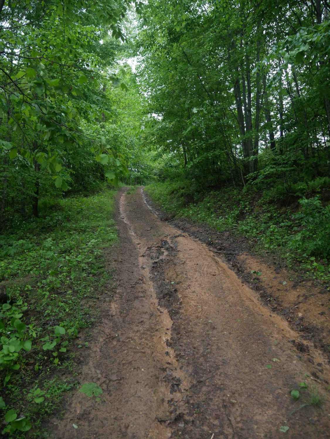
This is the most difficult of several options to reach Flag Pole Knob. The route is generally only one vehicle wide with dense foliage in the warmer months. There are also several rain dependent muddy…
Learn more about Union Springs
Total Miles
11.0
Tech Rating
4 Moderate
Best Time
Spring, Summer, Fall, Winter
Learn more about Vances Cove
Vances Cove

Vances Cove

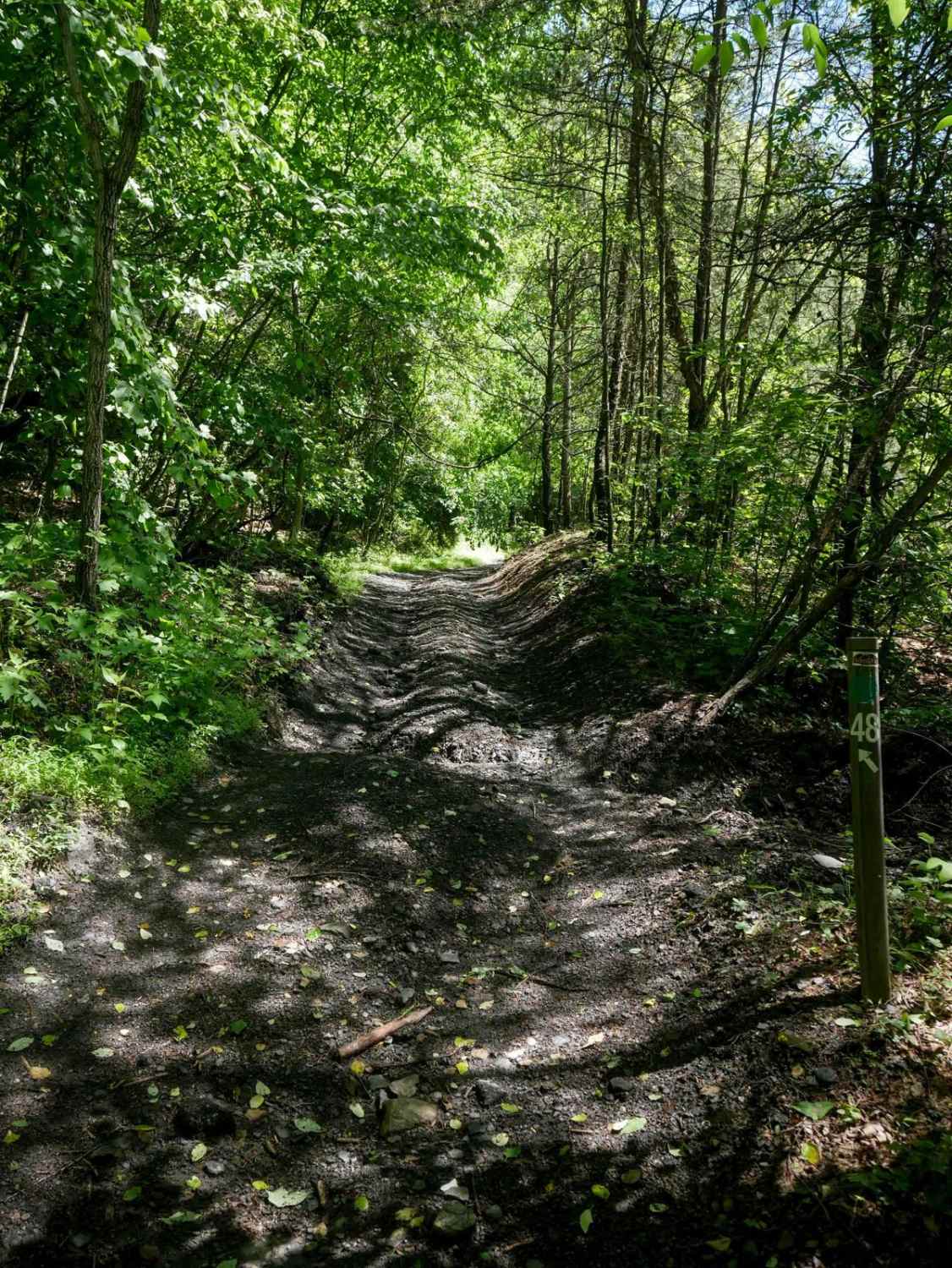
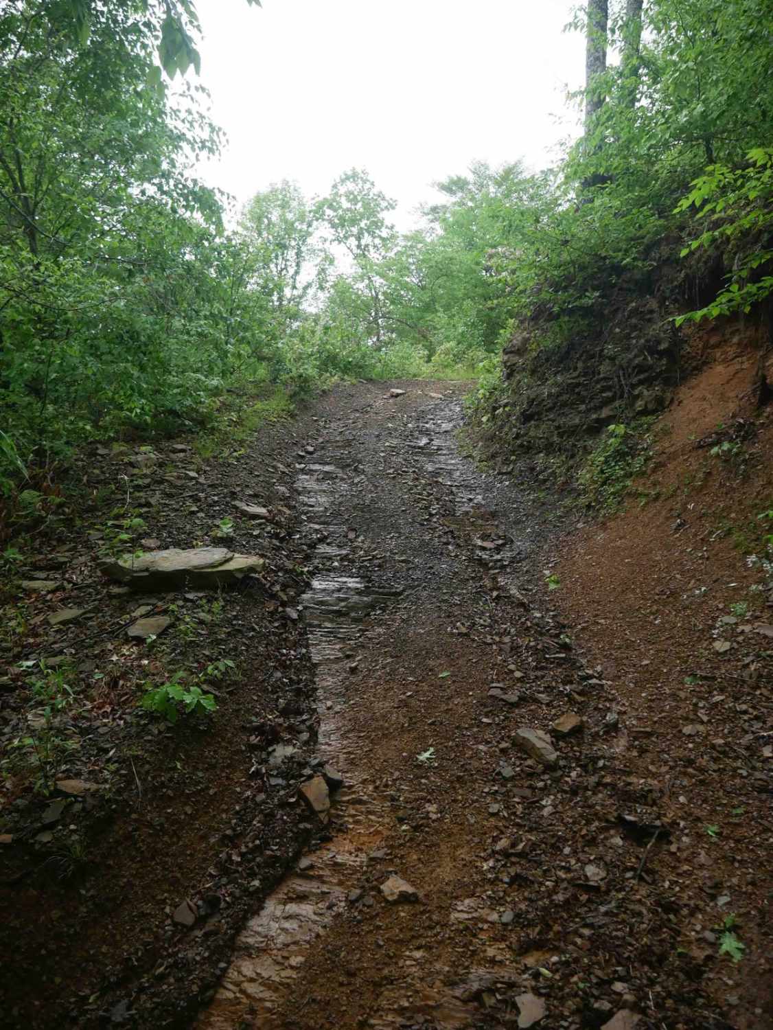
Vances Cove trail is a meandering gravel road starting at Cold Spring Gap. Descending into the valley along cold spring creek. The road can become washed out in some areas after heavy rain, as the…
Learn more about Vances Cove
Total Miles
9.9
Tech Rating
2 Easy
Best Time
Spring, Summer, Fall
Learn more about Vepco Road
Vepco Road

Vepco Road

This route follows along a power line for the most part with lots of scenic views. The lower elevation section is mainly gravel or a natural stone base. The upper section to the intersection at…
Learn more about Vepco Road
Total Miles
12.1
Tech Rating
3 Easy
Best Time
Spring, Summer, Fall, Winter

Go Farther

Try onX Offroad Elite for free for a week — no strings attached. Get access to thousands of off-road dirt trails and snowmobile trails across the nation. View your favorite zones in 3D. Send trails to friends. Start planning the trip of a lifetime now.