Off-Road Trails in Virginia
Discover off-road trails in Virginia


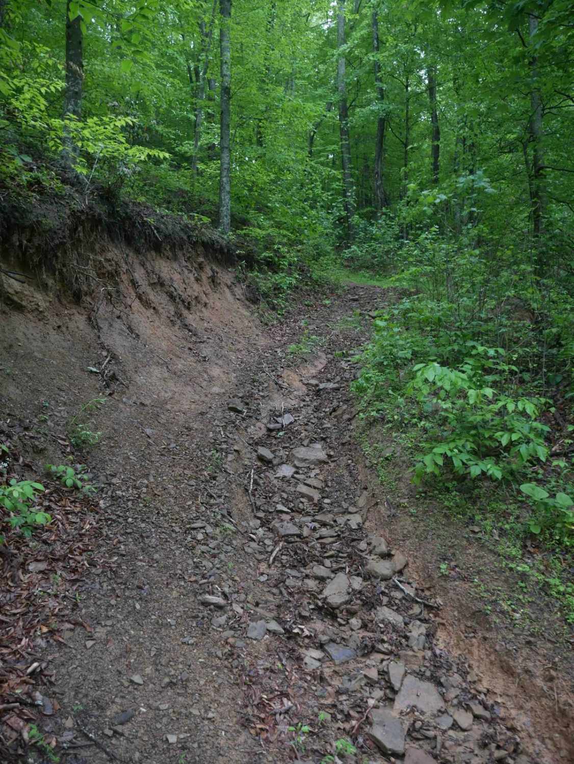


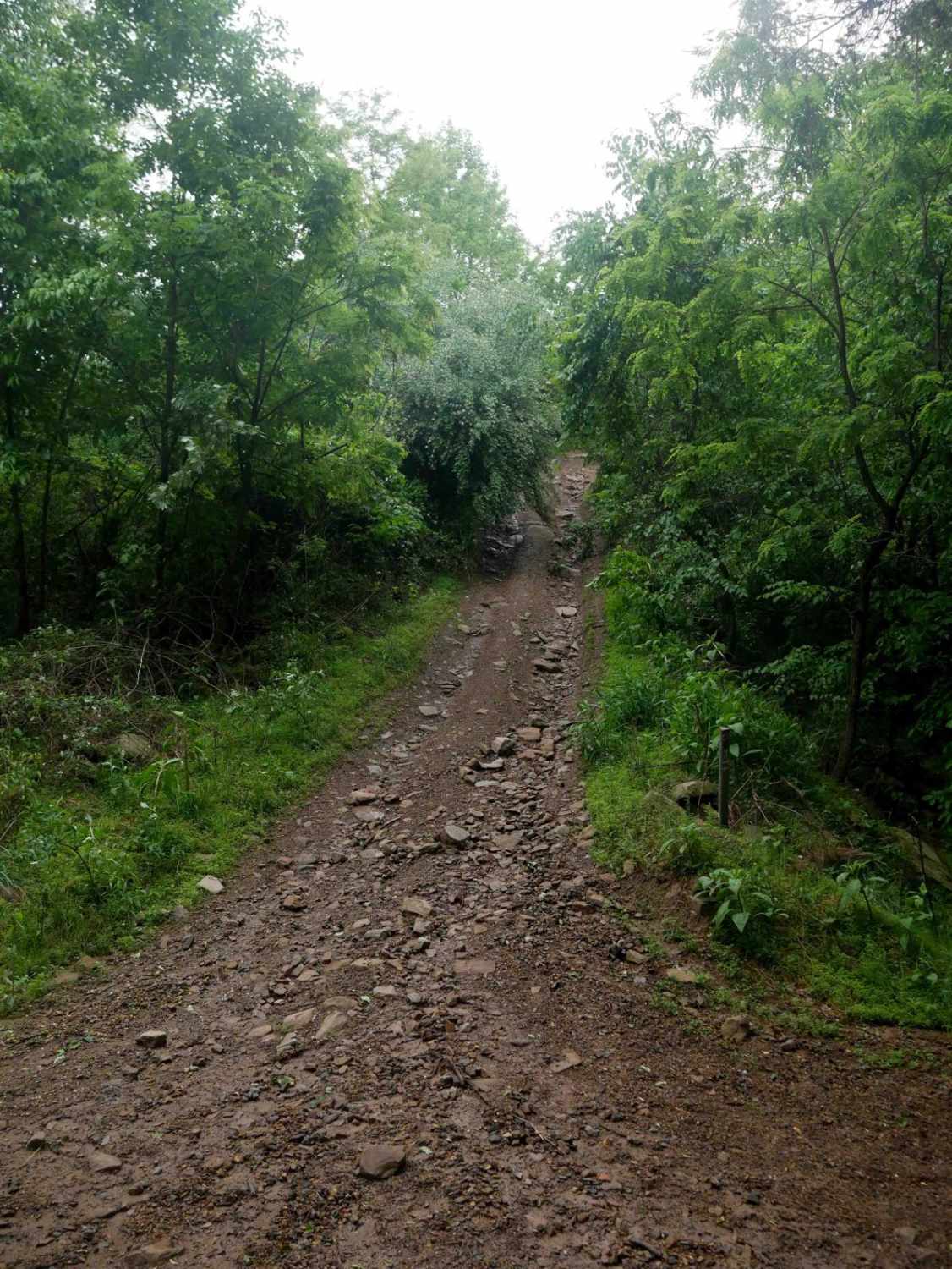

Learn more about Chrisman Hollow - FS 274
Chrisman Hollow - FS 274
Total Miles
9.1
Tech Rating
Easy
Best Time
Spring, Summer, Fall
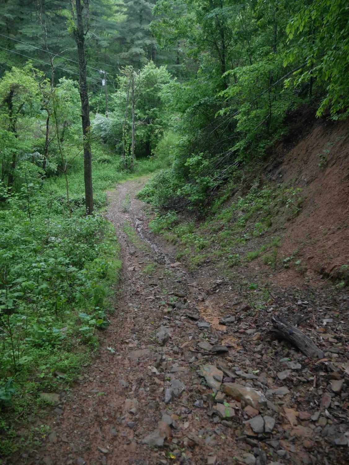
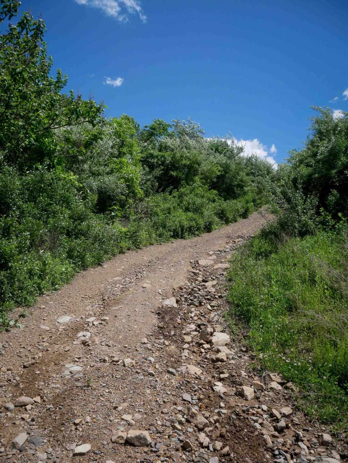
Learn more about Clifton Farm Road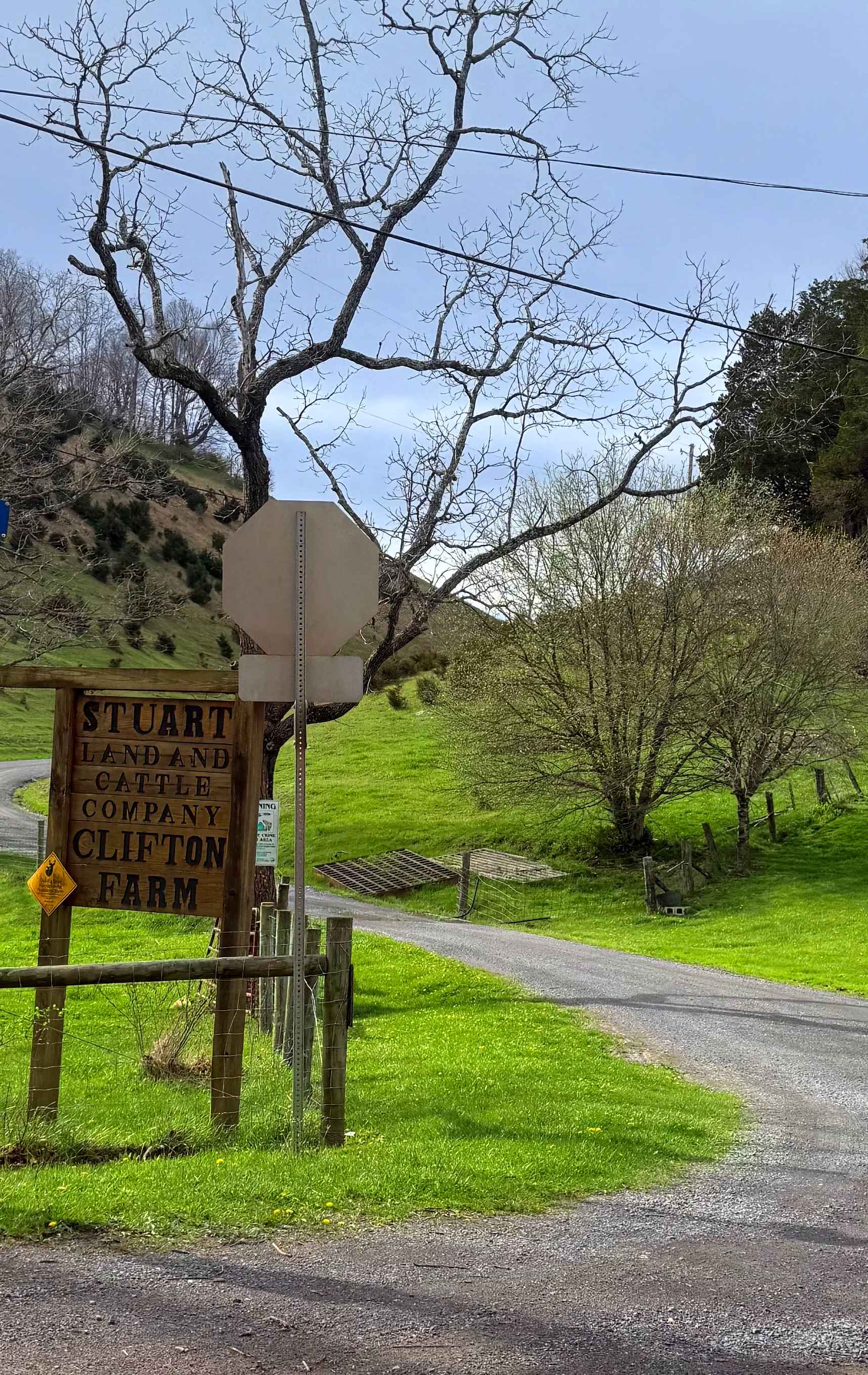
Clifton Farm Road
Total Miles
6.2
Tech Rating
Easy
Best Time
Spring, Summer, Fall, Winter
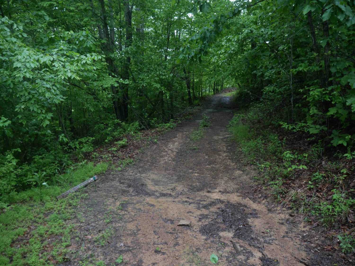
Learn more about Clinch Mountain Fire Tower
Clinch Mountain Fire Tower
Total Miles
5.8
Tech Rating
Easy
Best Time
Spring, Summer, Fall, Winter
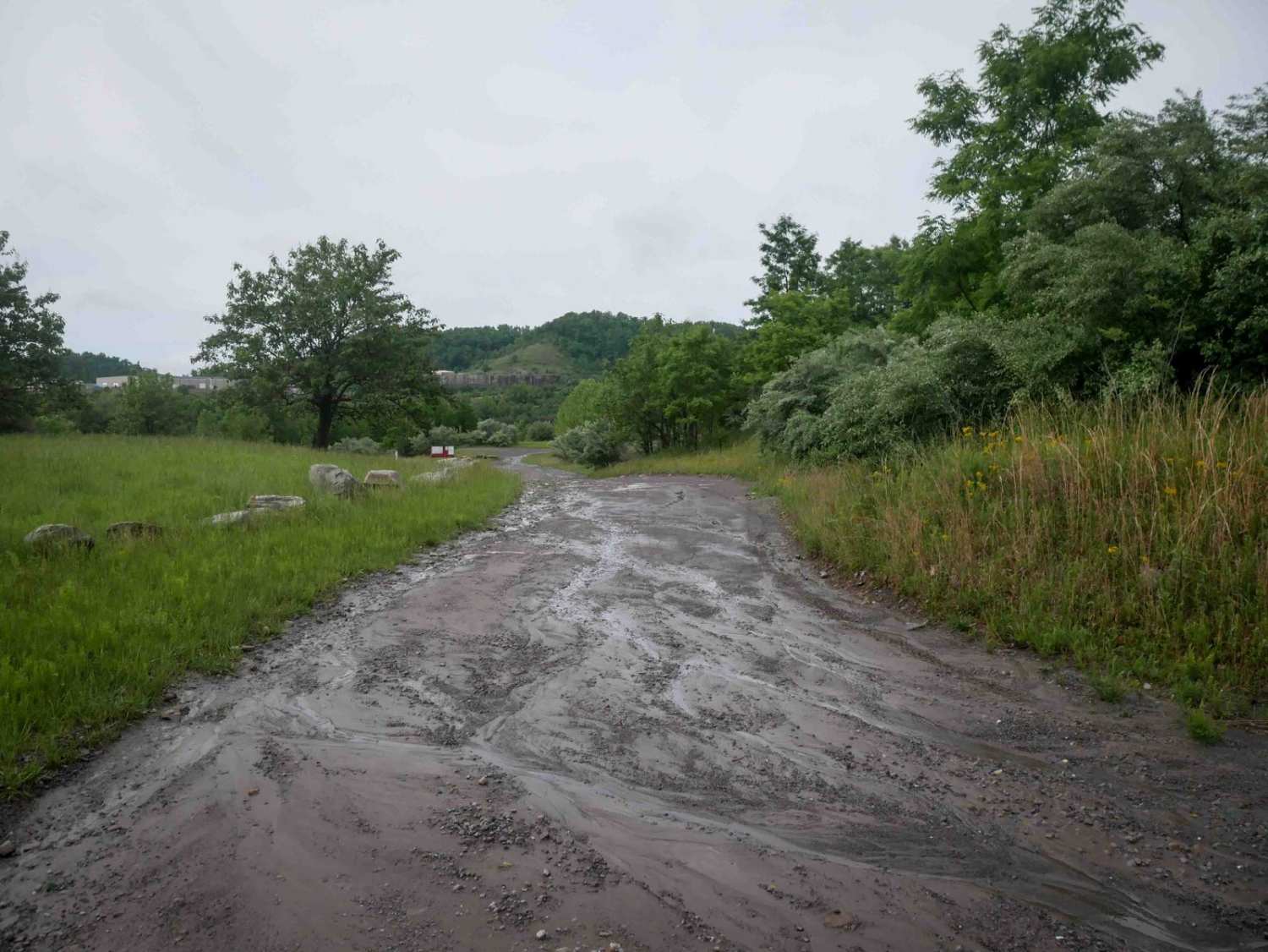
Learn more about Coal Road
Coal Road
Total Miles
13.3
Tech Rating
Easy
Best Time
Spring, Summer, Fall, Winter
Learn more about Cold Springs - FR 77
Cold Springs - FR 77
Total Miles
7.3
Tech Rating
Easy
Best Time
Summer, Fall, Winter, Spring
Learn more about Coon Bridge
Coon Bridge
Total Miles
8.2
Tech Rating
Moderate
Best Time
Spring, Summer, Fall, Winter
Learn more about Cow Camp Road
Cow Camp Road
Total Miles
3.4
Tech Rating
Easy
Best Time
Spring, Summer, Fall, Winter
Learn more about Crabtree Meadows
Crabtree Meadows
Total Miles
5.0
Tech Rating
Easy
Best Time
Spring, Summer, Fall, Winter
ATV trails in Virginia
Learn more about 28 Connector
28 Connector
Total Miles
0.1
Tech Rating
Easy
Best Time
Fall, Spring, Summer, Winter

Learn more about Big Piney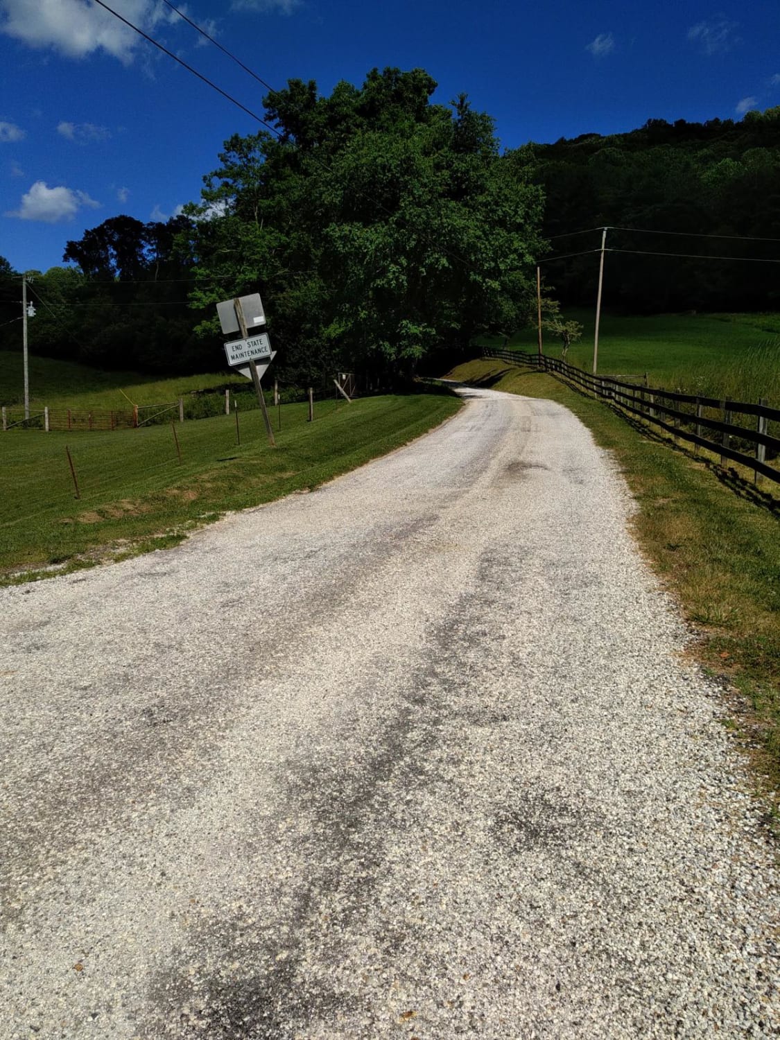
Big Piney
Total Miles
8.9
Tech Rating
Easy
Best Time
Spring, Summer, Fall, Winter
Learn more about Bother Flagpole Knob Trail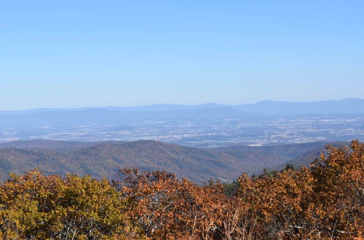
Bother Flagpole Knob Trail
Total Miles
0.6
Tech Rating
Easy
Best Time
Summer, Fall
UTV/side-by-side trails in Virginia
Learn more about 28 Connector
28 Connector
Total Miles
0.1
Tech Rating
Easy
Best Time
Fall, Spring, Summer, Winter
Learn more about Big Piney
Big Piney
Total Miles
8.9
Tech Rating
Easy
Best Time
Spring, Summer, Fall, Winter
Learn more about Bother Flagpole Knob Trail
Bother Flagpole Knob Trail
Total Miles
0.6
Tech Rating
Easy
Best Time
Summer, Fall
The onX Offroad Difference
onX Offroad combines trail photos, descriptions, difficulty ratings, width restrictions, seasonality, and more in a user-friendly interface. Available on all devices, with offline access and full compatibility with CarPlay and Android Auto. Discover what you’re missing today!