Coon Bridge
Total Miles
8.2
Technical Rating
Best Time
Spring, Summer, Fall, Winter
Trail Type
High-Clearance 4x4 Trail
Accessible By
Trail Overview
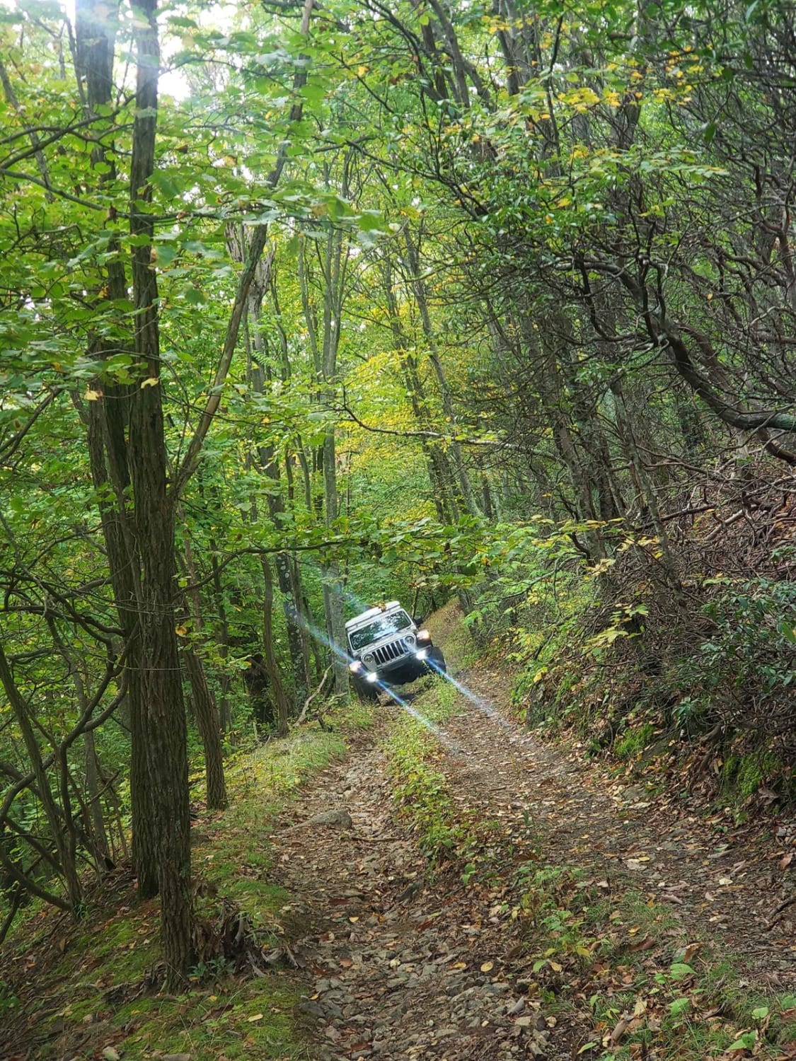
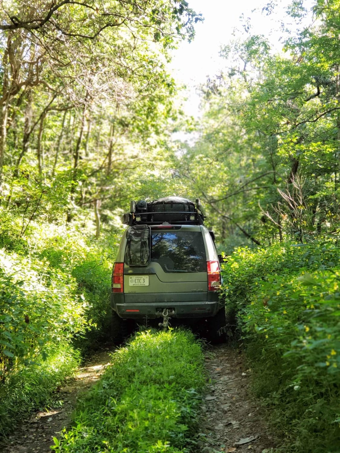
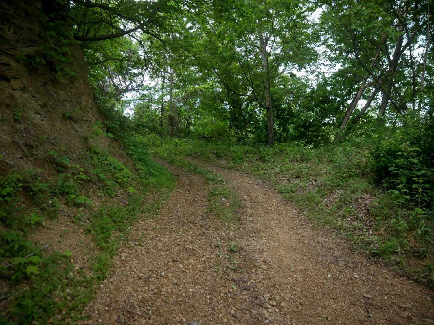
Nice connector trail from east of the mountains in the valley leading into the mountains. This trail passes through a national forest right of way through private property from the state road for about the first 1.5 miles. A campsite and forestry gate marks the boundary. The trail is a twisty double track with off-camber sections throughout the lower elevations. One small creek crossing washes out badly at some points but is normally passable with high clearance 4wd. Scenic views in fall/winter with a few campsites dotted along the way. No cell service anywhere in the general area.
Photos of Coon Bridge
Difficulty
Initial gate keeper washout just as you enter national forest and the potentional creek washout near the middle. Tight twisty off camber sections also.
Status Reports
Coon Bridge can be accessed by the following ride types:
- High-Clearance 4x4
Coon Bridge Map
Popular Trails


The onX Offroad Difference
onX Offroad combines trail photos, descriptions, difficulty ratings, width restrictions, seasonality, and more in a user-friendly interface. Available on all devices, with offline access and full compatibility with CarPlay and Android Auto. Discover what you’re missing today!