Coal Road
Total Miles
13.3
Technical Rating
Best Time
Spring, Summer, Fall, Winter
Trail Type
Full-Width Road
Accessible By
Trail Overview
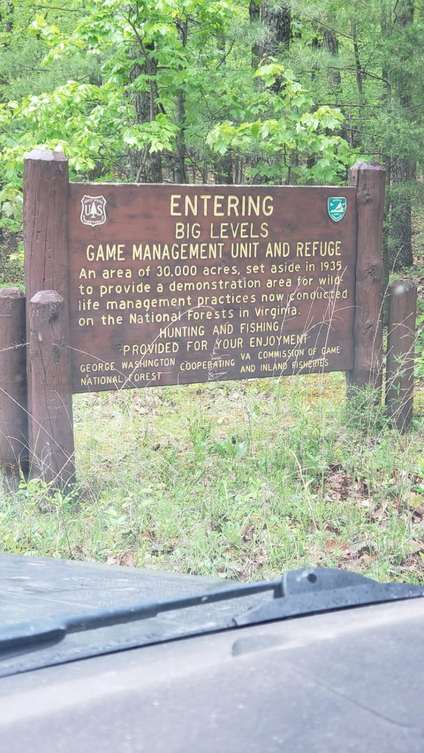
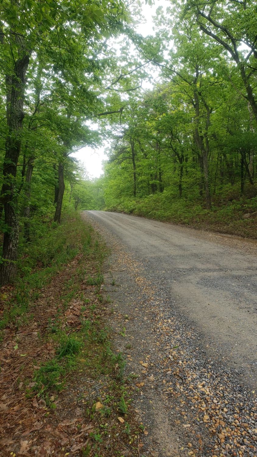
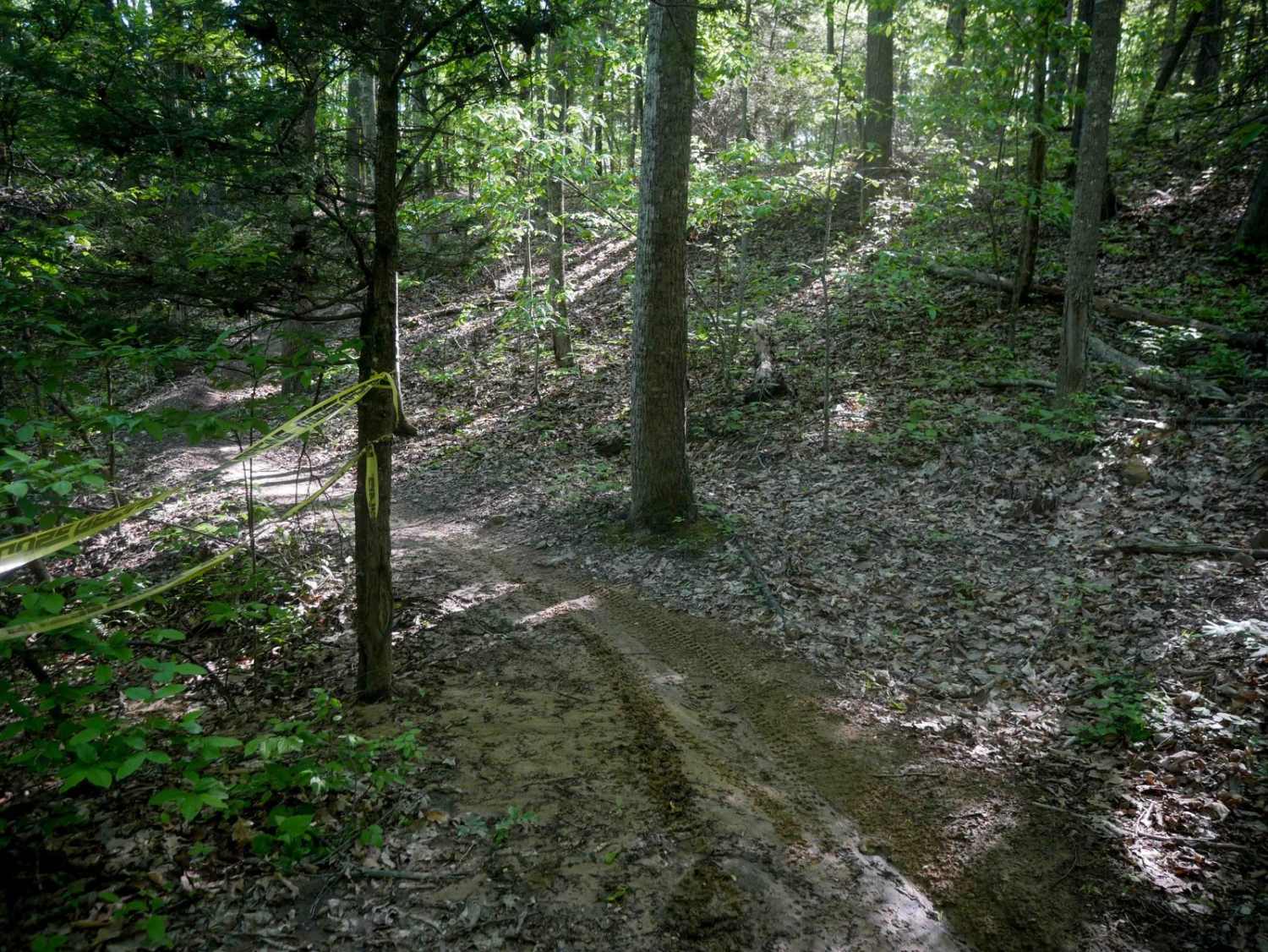
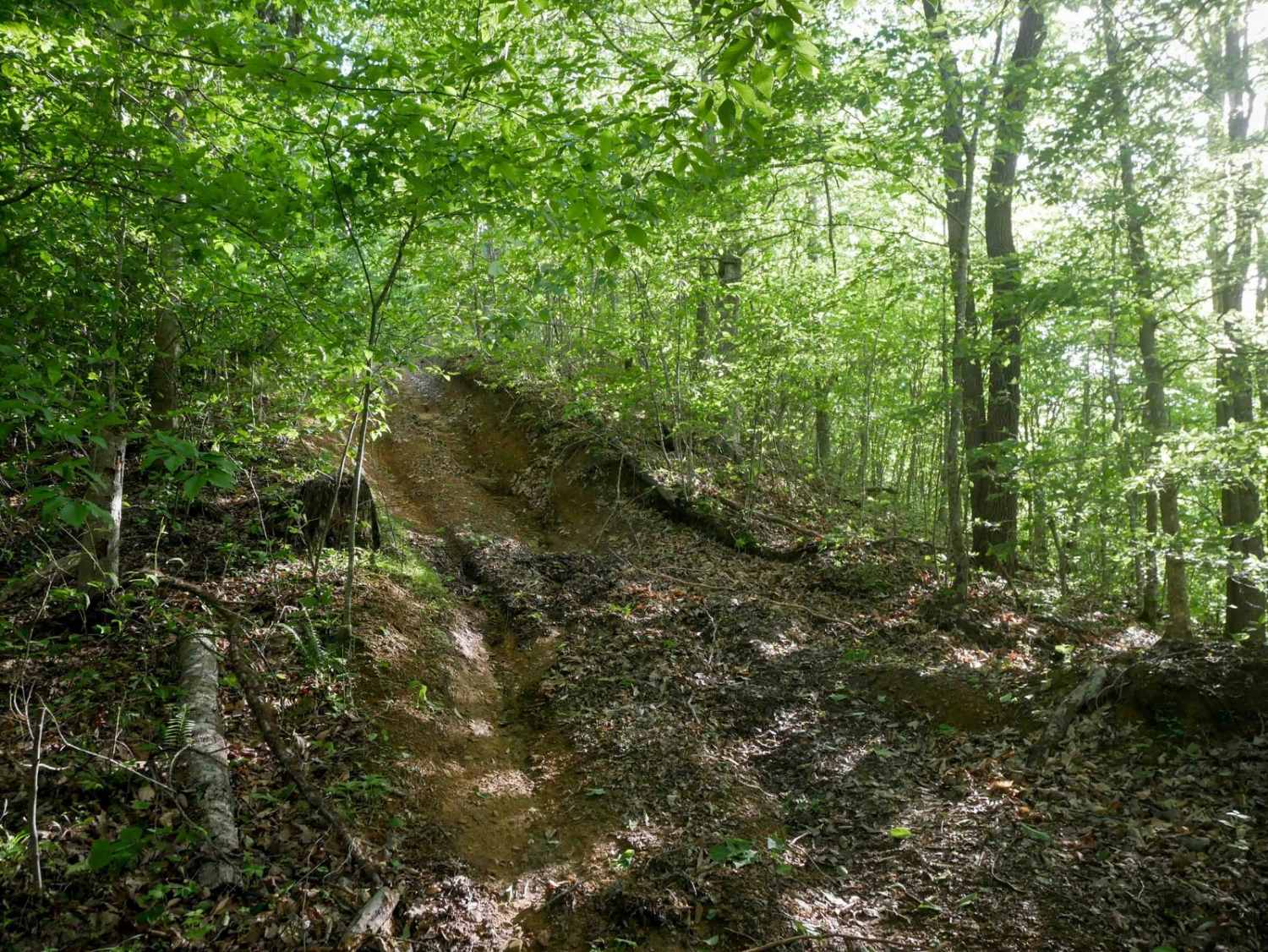
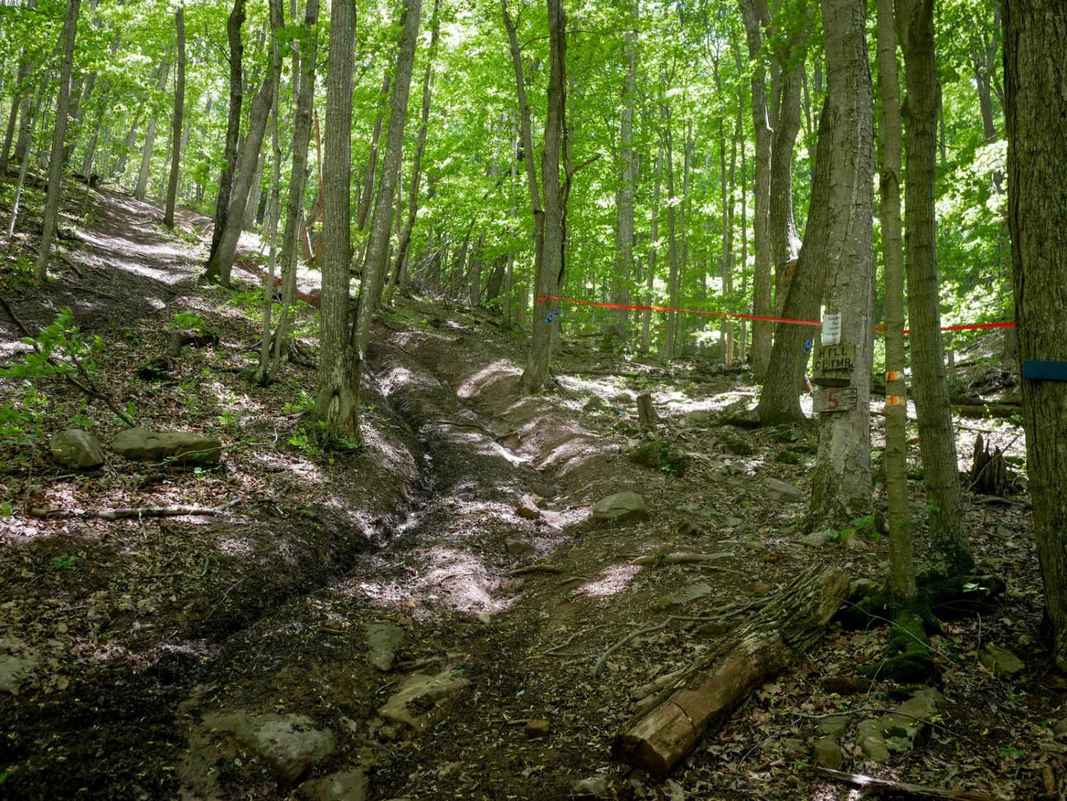
Coal Road is a 13-mile-long forest service road near Shenandoah Acres Campground and Sherando Lake. Any vehicle type should be able to travel the gravel sections, and the road is paved on either end. You will find many hiking and biking trailheads along the road, the most notable being Cellar Mountain. Cell signal is okay along the trail, and the trail has two-way traffic. One road intersection near the center leads to the town of Stuarts Draft, which has numerous walk-in campsites along the way, with only a handful accessible by vehicle. Coal Road provides access to the Bald Mountain Jeep Trail and Turkey Pen Trail, both open seasonally.
Photos of Coal Road
Difficulty
It is a paved and gravel fire road.
Status Reports
Coal Road can be accessed by the following ride types:
- High-Clearance 4x4
- SUV
Coal Road Map
Popular Trails

28 Connector
Single Track 2
The onX Offroad Difference
onX Offroad combines trail photos, descriptions, difficulty ratings, width restrictions, seasonality, and more in a user-friendly interface. Available on all devices, with offline access and full compatibility with CarPlay and Android Auto. Discover what you’re missing today!