J91
Total Miles
1.7
Technical Rating
Best Time
Fall, Spring, Summer, Winter
Trail Type
High-Clearance 4x4 Trail
Accessible By
Trail Overview
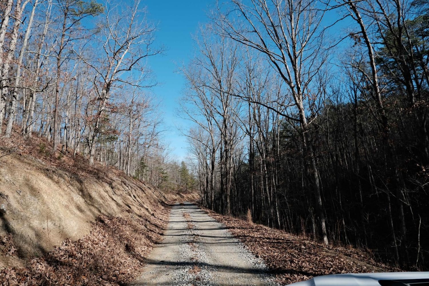
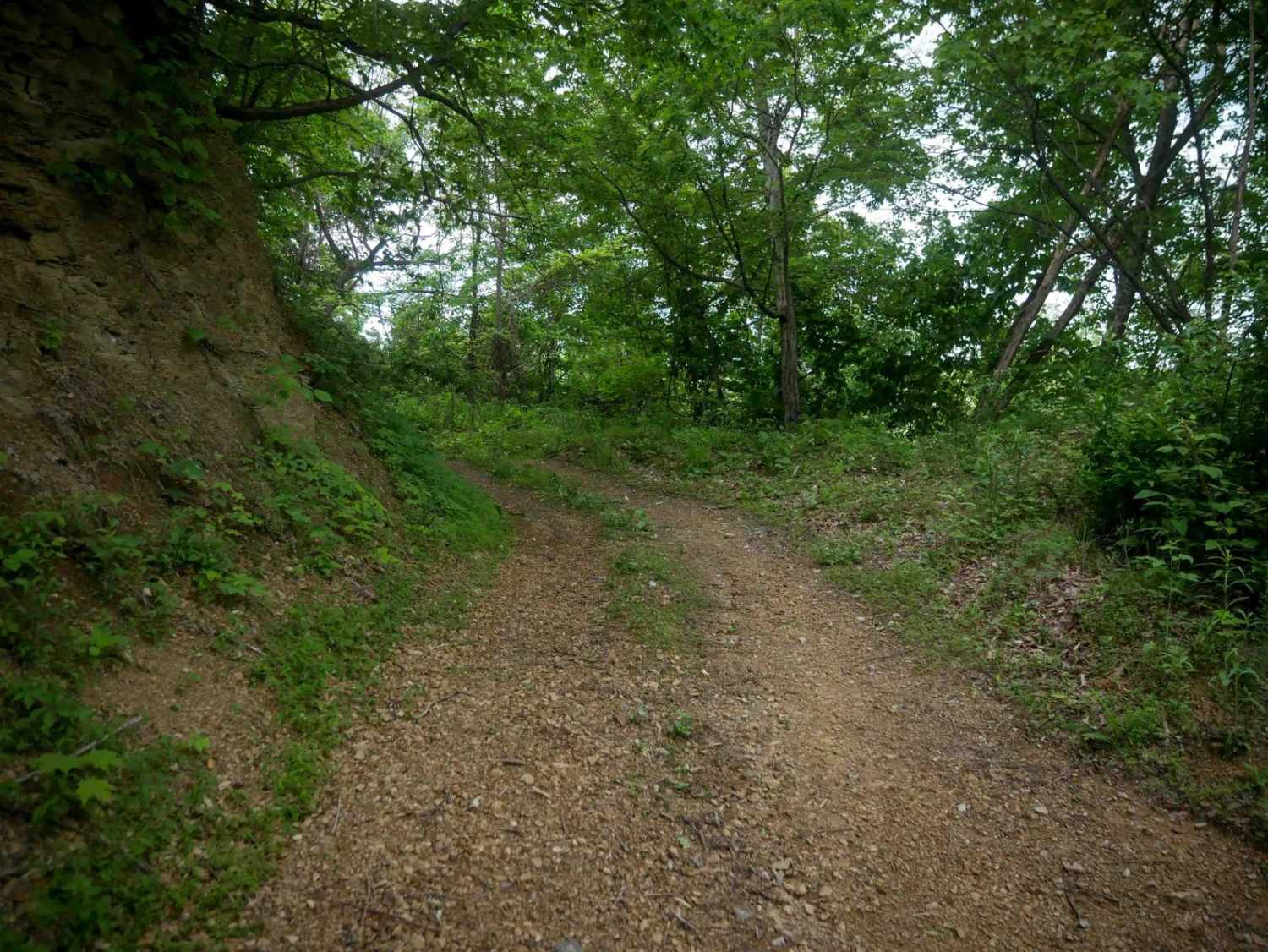
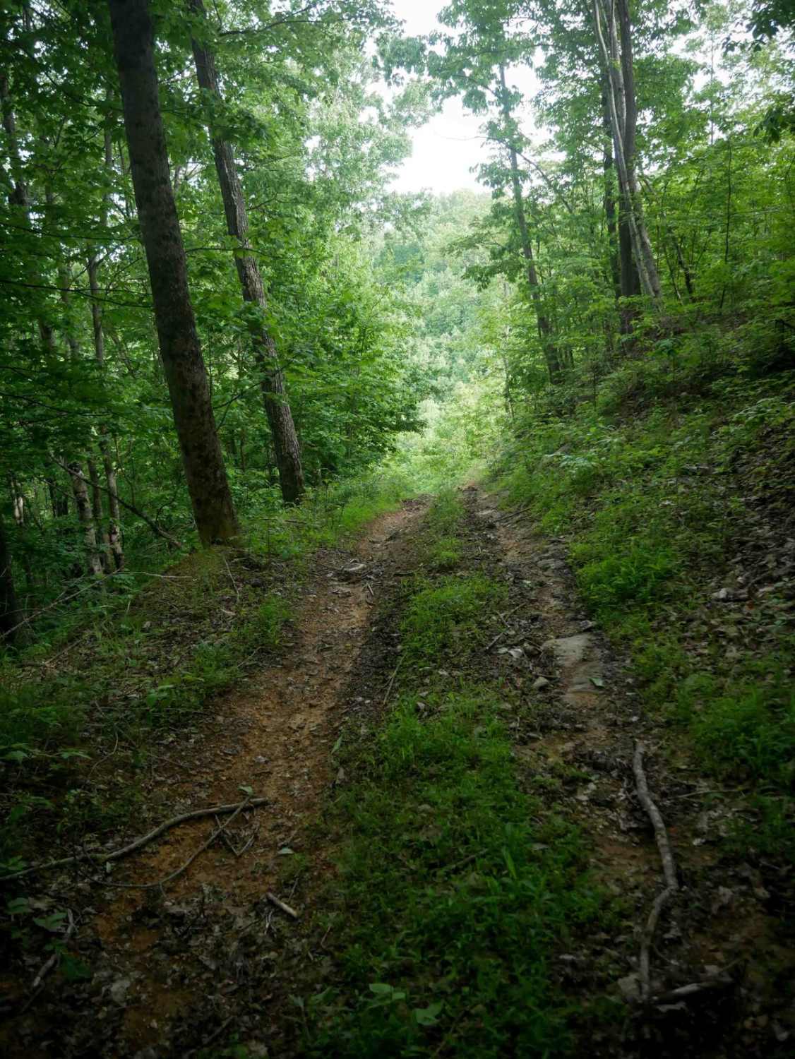
J91 runs 1.7 miles south to north through the Jawbone trail system, starting with a steep, rocky, and rutted climb from the south end. Expect loose rocks, debris, and gradual switchbacks on a sustained grade through dense forest. The trail then follows a narrow ridge before dropping onto a wide, smooth powerline road that passes oil and gas infrastructure. Most of J91 is easy and well-maintained, but a few rocky and steep climbs make it a moderate overall route.
Photos of J91


Difficulty
This is a moderate route due to a few steeper, rockier climbs, but it's still ideal for most drivers with basic off-road techniques. This is considered Most Difficult by Spearhead's rating system.
Status Reports
J91 can be accessed by the following ride types:
- High-Clearance 4x4
- SxS (60")
- ATV (50")
- Dirt Bike
J91 Map
Popular Trails

The onX Offroad Difference
onX Offroad combines trail photos, descriptions, difficulty ratings, width restrictions, seasonality, and more in a user-friendly interface. Available on all devices, with offline access and full compatibility with CarPlay and Android Auto. Discover what you’re missing today!