Bensons Run
Total Miles
6.3
Technical Rating
Best Time
Spring, Summer, Fall, Winter
Trail Type
Full-Width Road
Accessible By
Trail Overview
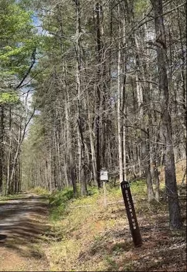
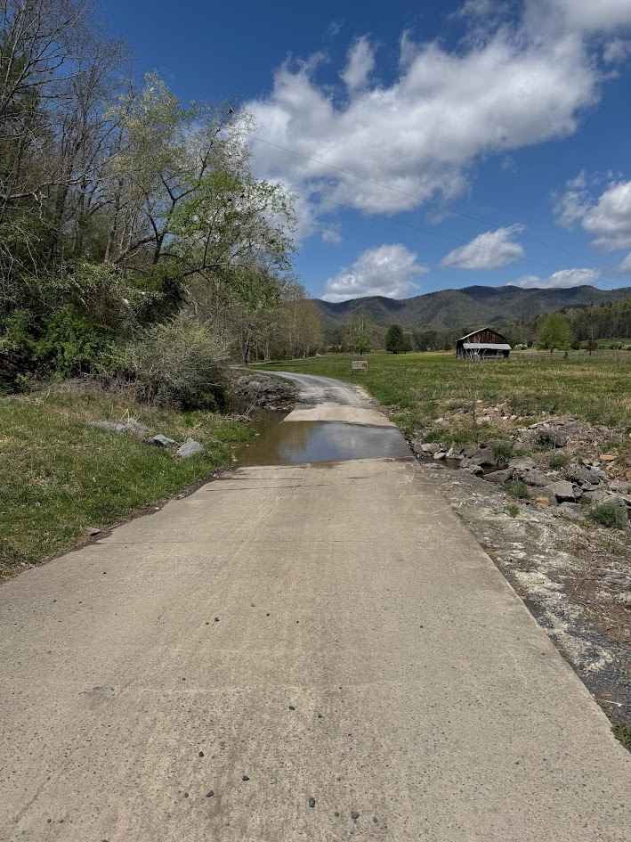
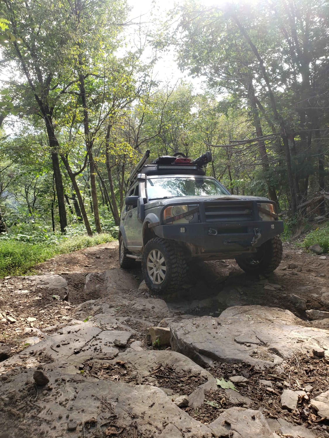
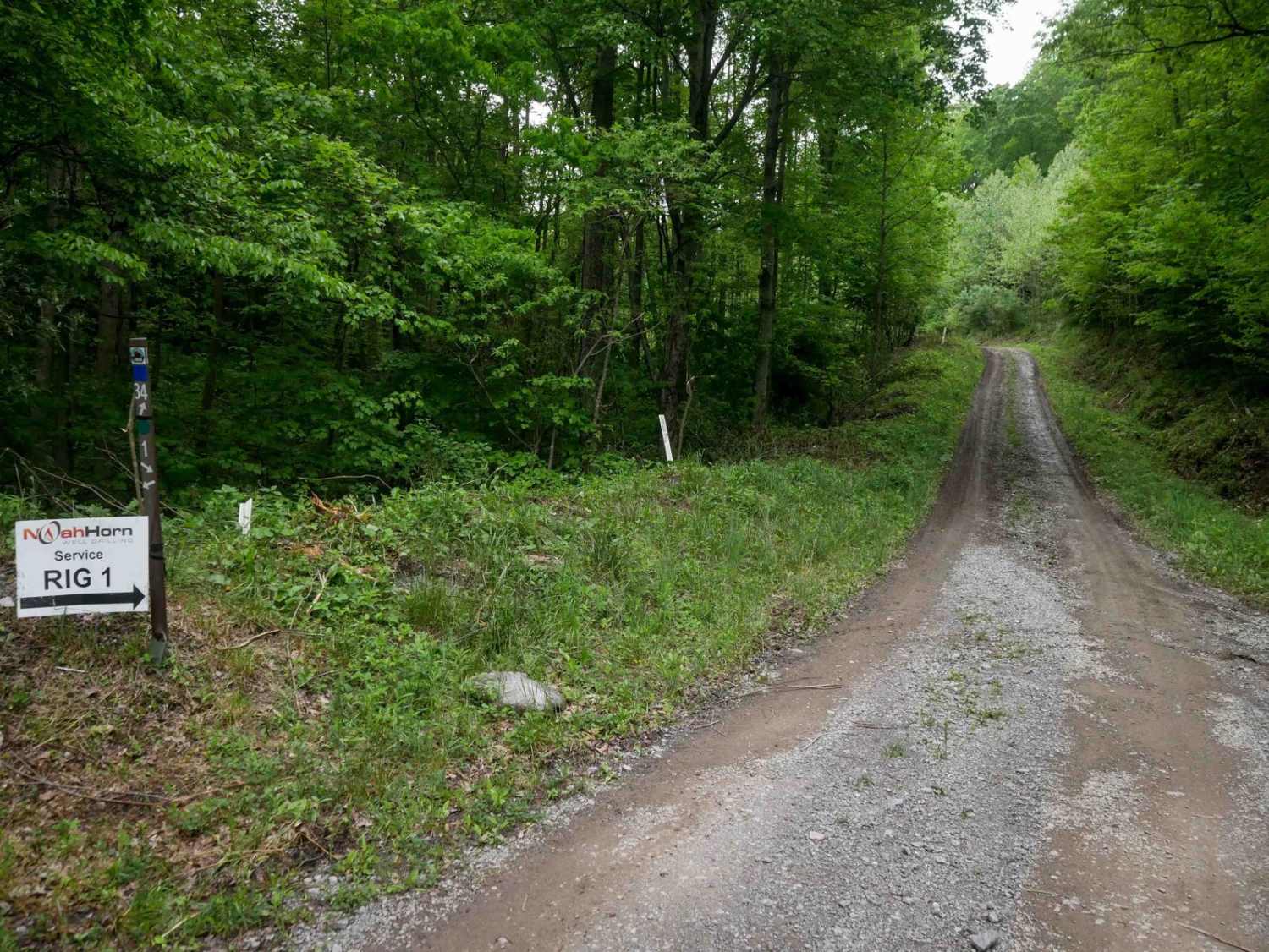
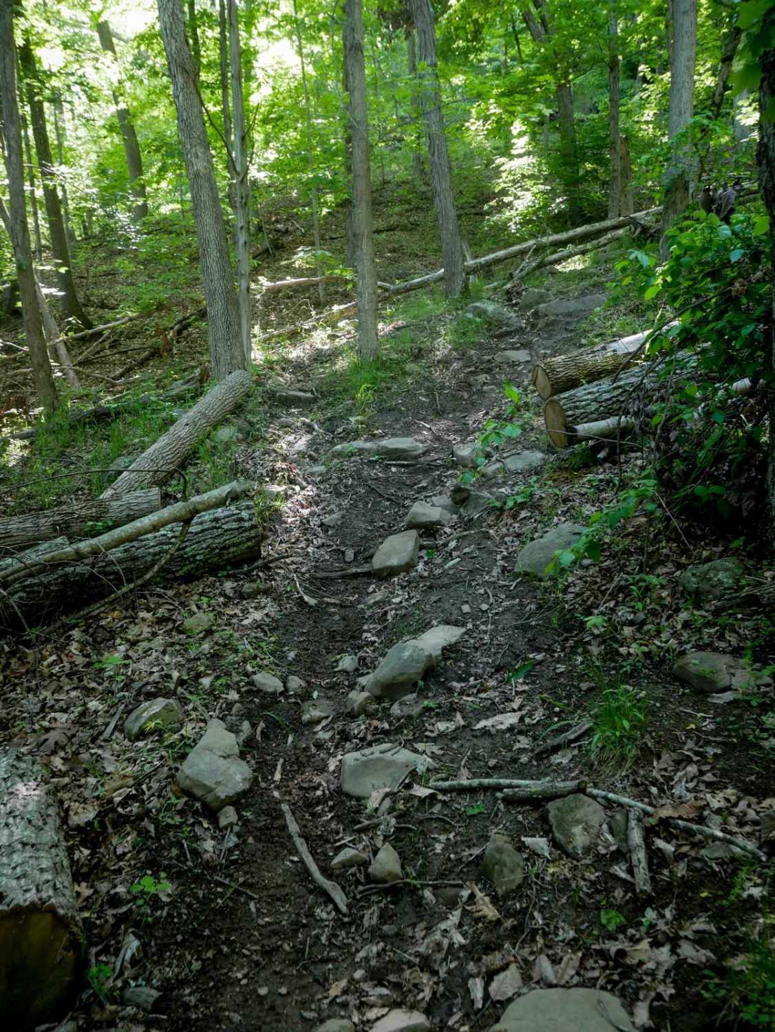
Bensons Run, also known as State Route 173, begins immediately with a low-water crossing after turning off Route 629. A gravel road continues through private property used as a cattle farm. After a second low-water crossing, the trail reaches a gate marked with a reminder to close it behind you. Access across the field is permitted as long as the gate is secured. Near the end of the field, a right turn leads to the trail Alier Hollow. Continuing straight keeps you on Bensons Run, with a U.S. Forest Service signpost marking the trail just beyond the exit gate. A large parking area sits just past this gate, offering enough room for horse trailers. The first half of Bensons Run is a smooth gravel trail. As elevation increases around the midpoint, a side spur to the left leads to the trail Tizzle, which is open from October 1 through January 15, presumably for hunting season. The second half to three-quarters of the route becomes rockier but remains relatively easy as it climbs toward the highest elevation. The final quarter of the trail, near the county line marker indicating entry into Highland County, descends the mountain and reaches a difficulty rating of about 2 due to larger ruts, dips, and whoops. The trail ends at a gate at Bensons Run Creek. During hunting season, this gate is open for a short extension of roughly one-quarter mile. A large turnaround area is available at the end. Several dispersed campsites can be found along the trail. Vegetation overgrowth is minimal, and the corridor remains open. The route offers scenic views through both forested areas and the cattle farm. Combined with Alier Hollow, this trail provides an excellent option for beginners or for those wishing to avoid pinstriping. Hikers and equestrian users are occasionally present, so use caution. Seasonally open all year, except for the very end as noted.
Photos of Bensons Run
Difficulty
Water crossings are shallow, paved low-water crossings. Ruts in trails may pose difficulty for low-clearance vehicles.
Status Reports
Bensons Run can be accessed by the following ride types:
- High-Clearance 4x4
- SUV
Bensons Run Map
Popular Trails
Union Springs

Drop Zone
The onX Offroad Difference
onX Offroad combines trail photos, descriptions, difficulty ratings, width restrictions, seasonality, and more in a user-friendly interface. Available on all devices, with offline access and full compatibility with CarPlay and Android Auto. Discover what you’re missing today!