Off-Road Trails in Tennessee
Discover off-road trails in Tennessee
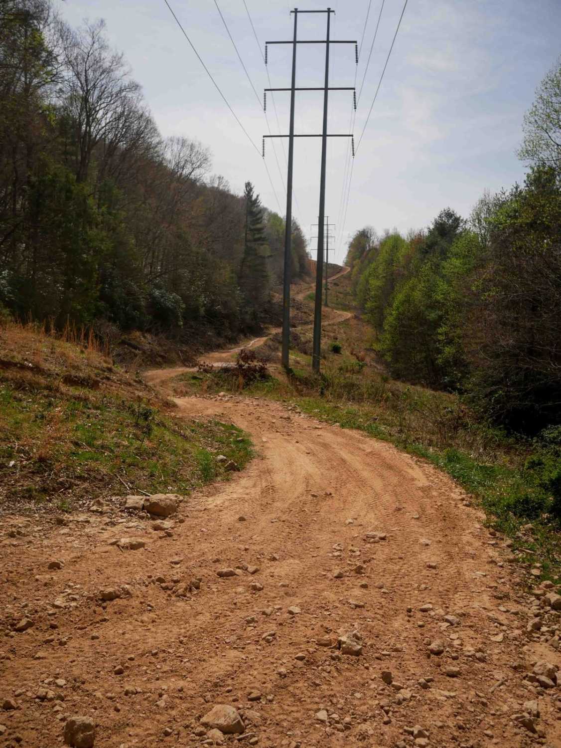
Learn more about Cross Mountain Road
Cross Mountain Road
Total Miles
7.1
Tech Rating
Easy
Best Time
Spring, Summer, Fall, Winter
Learn more about Crutcher Hollow Road FS 213
Crutcher Hollow Road FS 213
Total Miles
2.5
Tech Rating
Easy
Best Time
Spring, Summer, Fall, Winter
Learn more about Cub Lake Trail
Cub Lake Trail
Total Miles
2.2
Tech Rating
Easy
Best Time
Winter, Spring, Summer, Fall
Learn more about Dicks Creek to Dark Hollow (Unicoi to Erwin)
Dicks Creek to Dark Hollow (Unicoi to Erwin)
Total Miles
7.0
Tech Rating
Moderate
Best Time
Spring, Summer, Fall, Winter
Learn more about Ditney Mountain (66)
Ditney Mountain (66)
Total Miles
4.5
Tech Rating
Moderate
Best Time
Winter, Fall, Spring
Learn more about Double Camp 
Double Camp
Total Miles
14.5
Tech Rating
Easy
Best Time
Fall, Winter, Spring, Summer
Learn more about Dry Branch Road
Dry Branch Road
Total Miles
3.0
Tech Rating
Easy
Best Time
Spring, Summer, Fall, Winter
Learn more about Dry Branch to Dixon Creek Road - Macon County Tour
Dry Branch to Dixon Creek Road - Macon County Tour
Total Miles
1.4
Tech Rating
Easy
Best Time
Spring, Summer, Fall
Learn more about Duckett Ridge FSR #22B
Duckett Ridge FSR #22B
Total Miles
1.6
Tech Rating
Easy
Best Time
Spring, Summer, Fall, Winter
Learn more about Dutch Potts Hollow Road
Dutch Potts Hollow Road
Total Miles
1.7
Tech Rating
Easy
Best Time
Fall, Summer, Spring
Learn more about East Brow Road
East Brow Road
Total Miles
2.3
Tech Rating
Easy
Best Time
Spring, Summer, Fall, Winter
Learn more about East Sylco Ridge 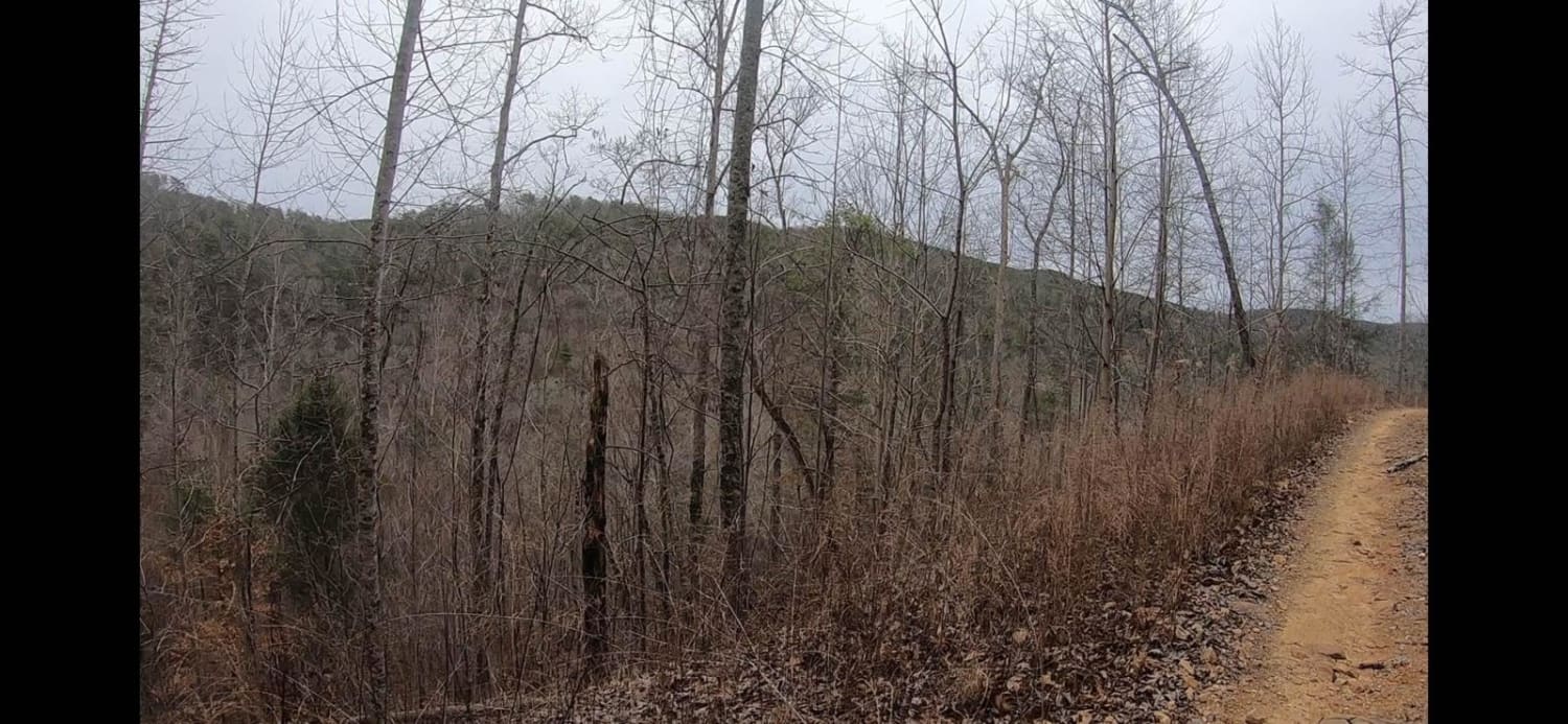
East Sylco Ridge
Total Miles
4.1
Tech Rating
Moderate
Best Time
Fall, Winter
Learn more about Elk Viewing Tower Road - Trail 25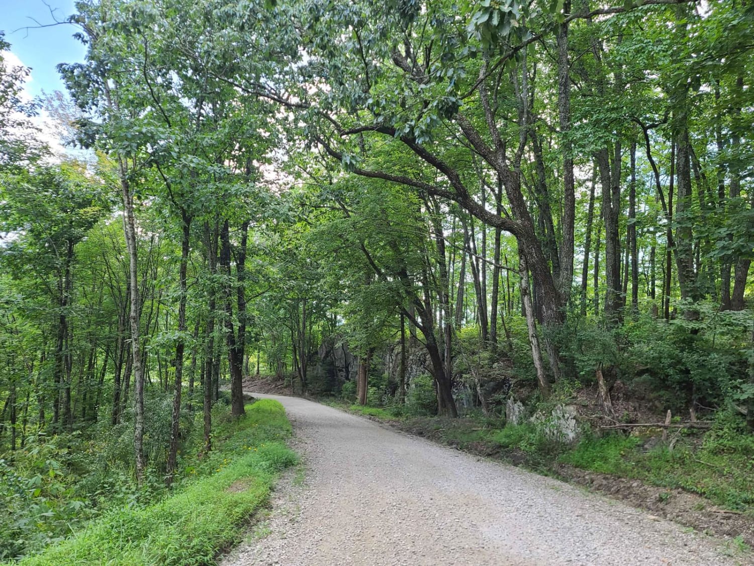
Elk Viewing Tower Road - Trail 25
Total Miles
4.5
Tech Rating
Easy
Best Time
Spring, Summer, Fall
Learn more about Ellis Pt/Bluff View Road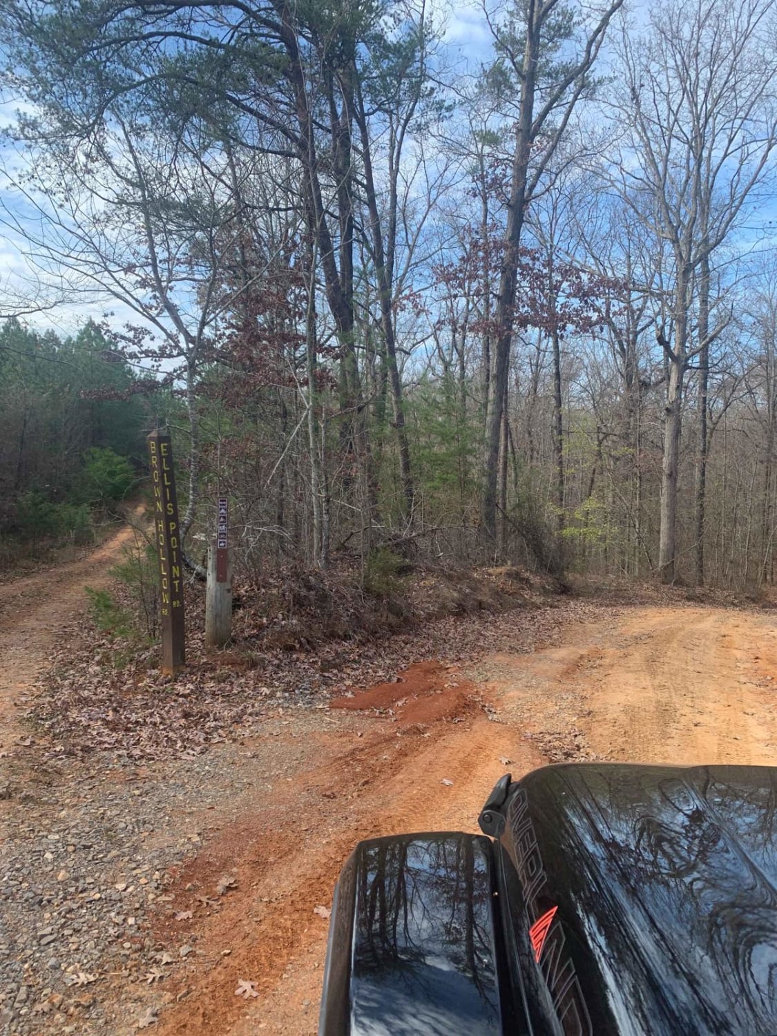
Ellis Pt/Bluff View Road
Total Miles
3.6
Tech Rating
Easy
Best Time
Spring, Summer, Fall, Winter
Learn more about Emily Cemetery Road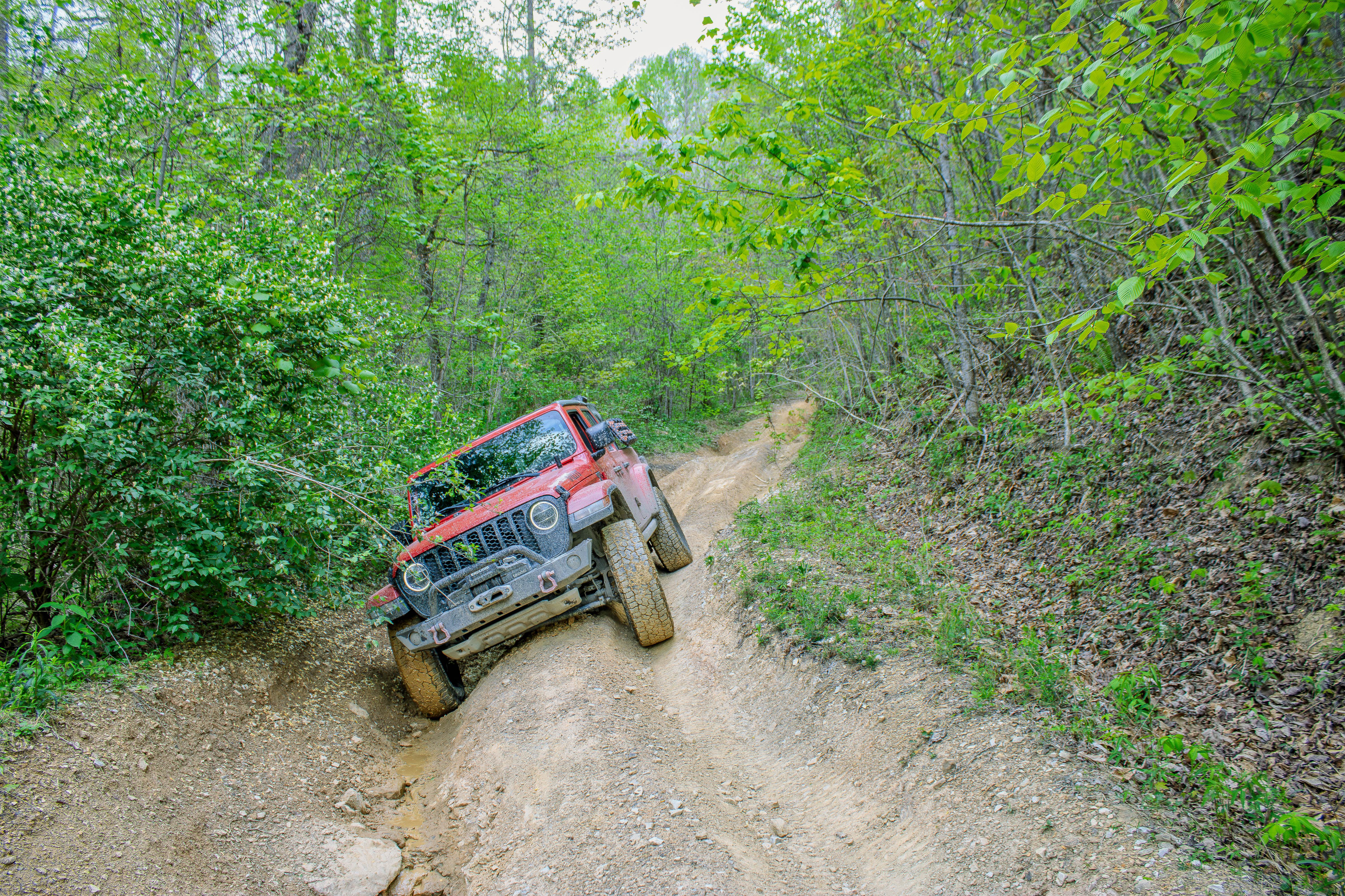
Emily Cemetery Road
Total Miles
1.5
Tech Rating
Moderate
Best Time
Spring, Summer, Fall, Winter
Learn more about End of the World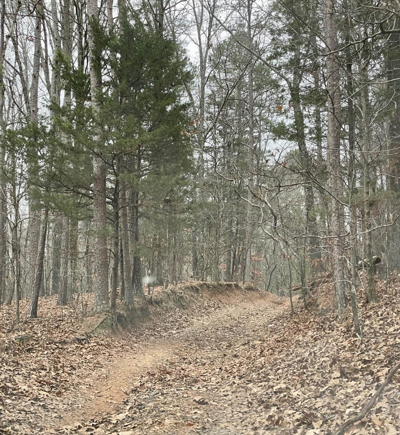
End of the World
Total Miles
2.1
Tech Rating
Moderate
Best Time
Spring, Summer
Learn more about Ernest Rice Road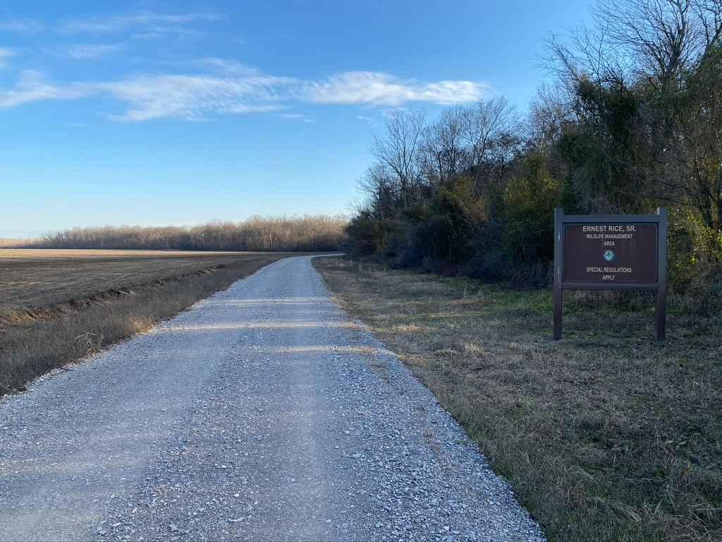
Ernest Rice Road
Total Miles
2.5
Tech Rating
Easy
Best Time
Spring, Summer, Fall, Winter
Learn more about Falls Branch Road - FS 374
Falls Branch Road - FS 374
Total Miles
4.4
Tech Rating
Easy
Best Time
Spring, Summer, Fall, Winter
Learn more about Fingerboard Road
Fingerboard Road
Total Miles
14.3
Tech Rating
Easy
Best Time
Spring, Summer, Fall, Winter
ATV trails in Tennessee
Learn more about 1 - Launchpad
1 - Launchpad
Total Miles
1.2
Tech Rating
Easy
Best Time
Spring, Summer, Fall, Winter
Learn more about 11 - Ground Control
11 - Ground Control
Total Miles
0.3
Tech Rating
Easy
Best Time
Spring, Summer, Fall, Winter
UTV/side-by-side trails in Tennessee
Learn more about 1 - Launchpad
1 - Launchpad
Total Miles
1.2
Tech Rating
Easy
Best Time
Spring, Summer, Fall, Winter
Learn more about 11 - Ground Control
11 - Ground Control
Total Miles
0.3
Tech Rating
Easy
Best Time
Spring, Summer, Fall, Winter
The onX Offroad Difference
onX Offroad combines trail photos, descriptions, difficulty ratings, width restrictions, seasonality, and more in a user-friendly interface. Available on all devices, with offline access and full compatibility with CarPlay and Android Auto. Discover what you’re missing today!