Off-Road Trails in Tennessee
Discover off-road trails in Tennessee

Learn more about Hance Hollow Road - Macon County Tour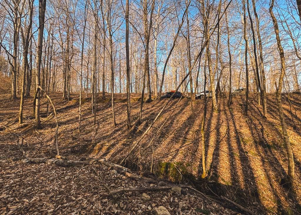
Hance Hollow Road - Macon County Tour
Total Miles
3.6
Tech Rating
Moderate
Best Time
Spring, Summer, Fall, Winter
Learn more about Heaton Branch Road
Heaton Branch Road
Total Miles
2.7
Tech Rating
Easy
Best Time
Spring, Summer, Fall
Learn more about Hebbertburg Road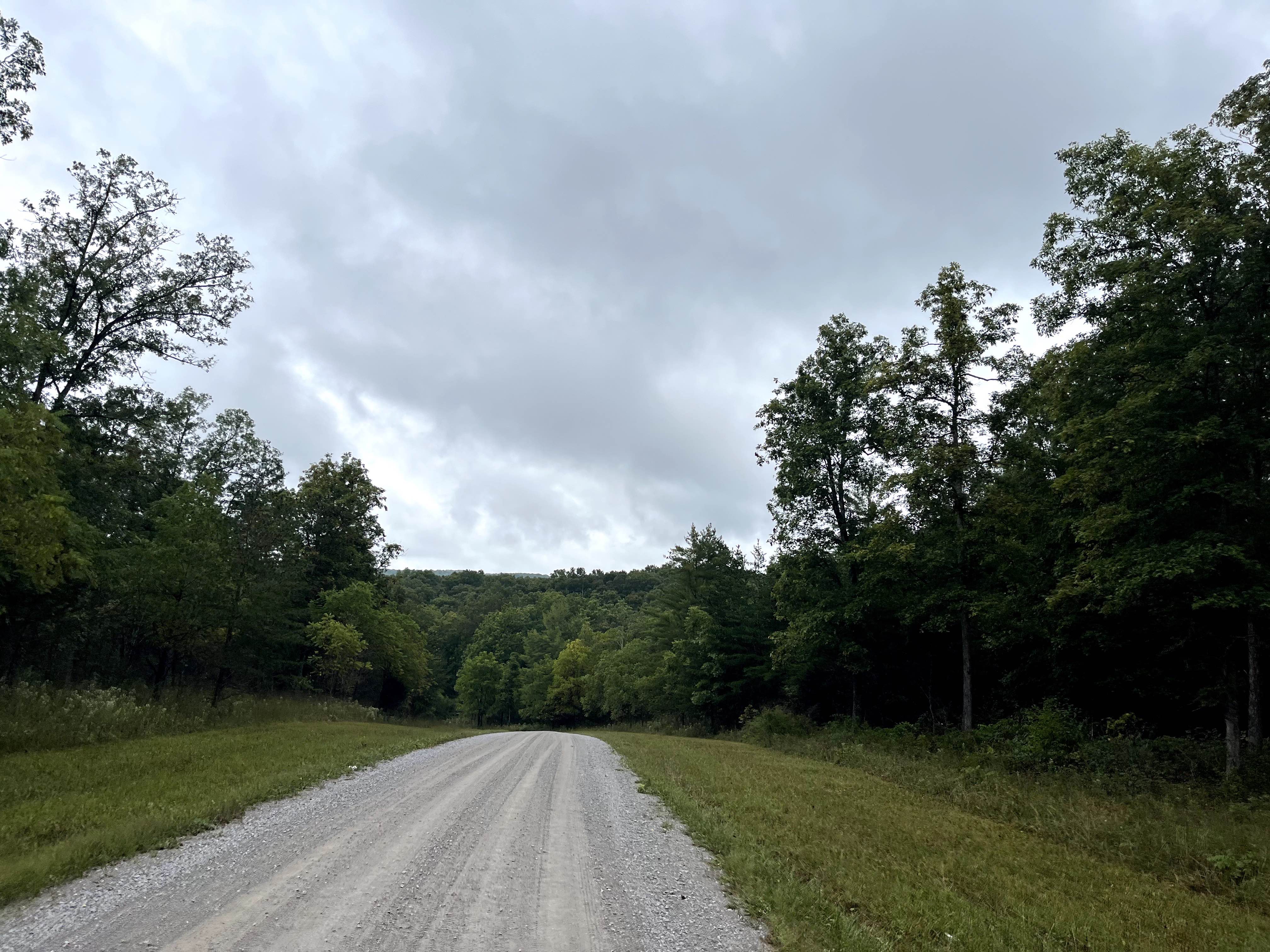
Hebbertburg Road
Total Miles
2.6
Tech Rating
Easy
Best Time
Spring, Fall, Winter
Learn more about Highland Road - Macon County Tour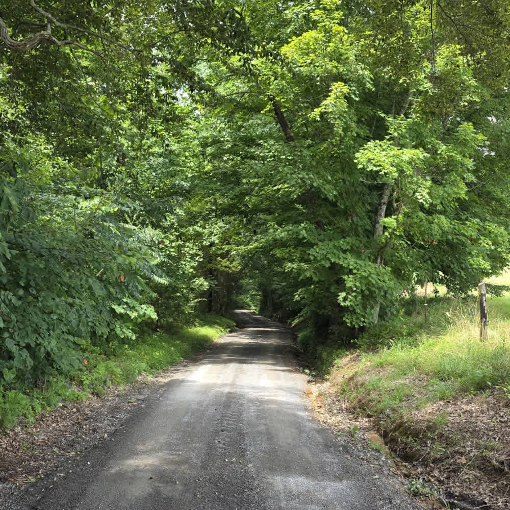
Highland Road - Macon County Tour
Total Miles
1.0
Tech Rating
Easy
Best Time
Spring, Fall
Learn more about Holland Road - Macon County Tour
Holland Road - Macon County Tour
Total Miles
0.7
Tech Rating
Easy
Best Time
Spring, Fall
Learn more about Horse Cove Gap
Horse Cove Gap
Total Miles
2.7
Tech Rating
Easy
Best Time
Spring, Summer, Fall
Learn more about Horse Creek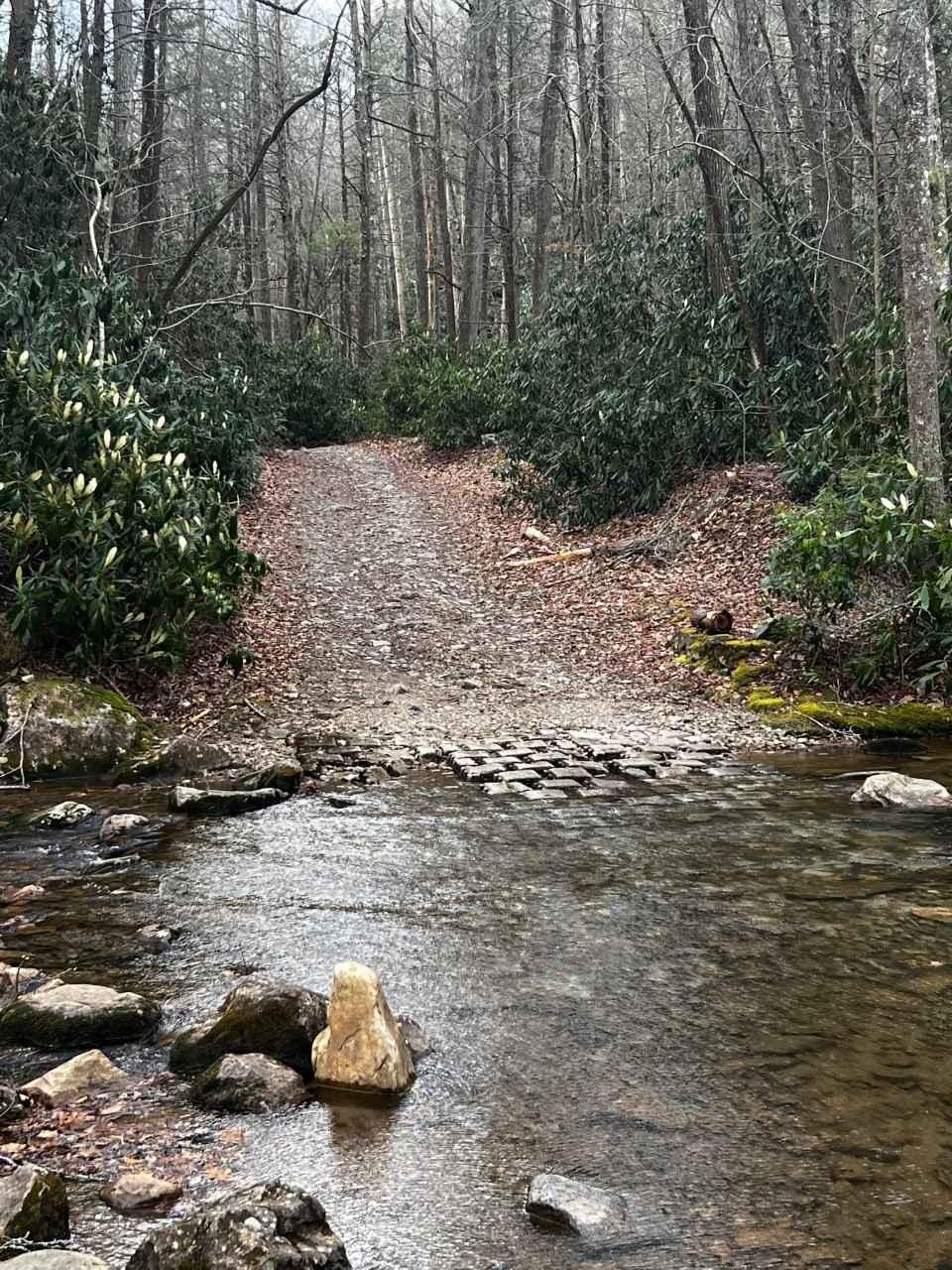
Horse Creek
Total Miles
4.9
Tech Rating
Moderate
Best Time
Spring, Summer, Fall, Winter
Learn more about Hurricane Gap
Hurricane Gap
Total Miles
9.4
Tech Rating
Easy
Best Time
Spring, Summer, Fall, Winter
Learn more about Indian Creek - FSR 302
Indian Creek - FSR 302
Total Miles
10.8
Tech Rating
Easy
Best Time
Spring, Summer, Fall, Winter
Learn more about Irishman Branch 
Irishman Branch
Total Miles
3.1
Tech Rating
Easy
Best Time
Spring, Summer, Fall
Learn more about Iron Gap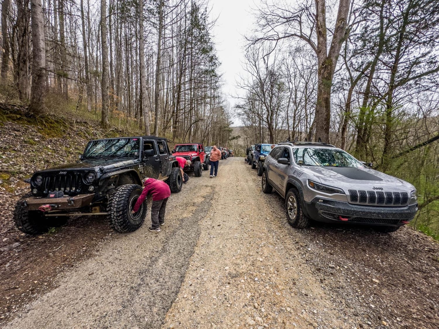
Iron Gap
Total Miles
5.1
Tech Rating
Moderate
Best Time
Summer, Spring, Winter, Fall
Learn more about Island Forty Road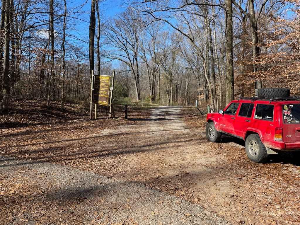
Island Forty Road
Total Miles
1.8
Tech Rating
Easy
Best Time
Spring, Fall
Learn more about Jacobs Creek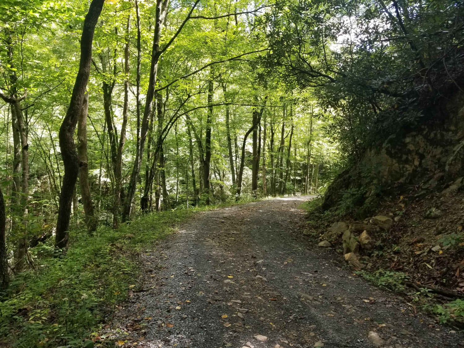
Jacobs Creek
Total Miles
3.6
Tech Rating
Easy
Best Time
Spring, Summer, Fall, Winter
Learn more about Jake's Branch Road
Jake's Branch Road
Total Miles
1.7
Tech Rating
Easy
Best Time
Spring, Summer, Fall, Winter
Learn more about Jennings Creek Road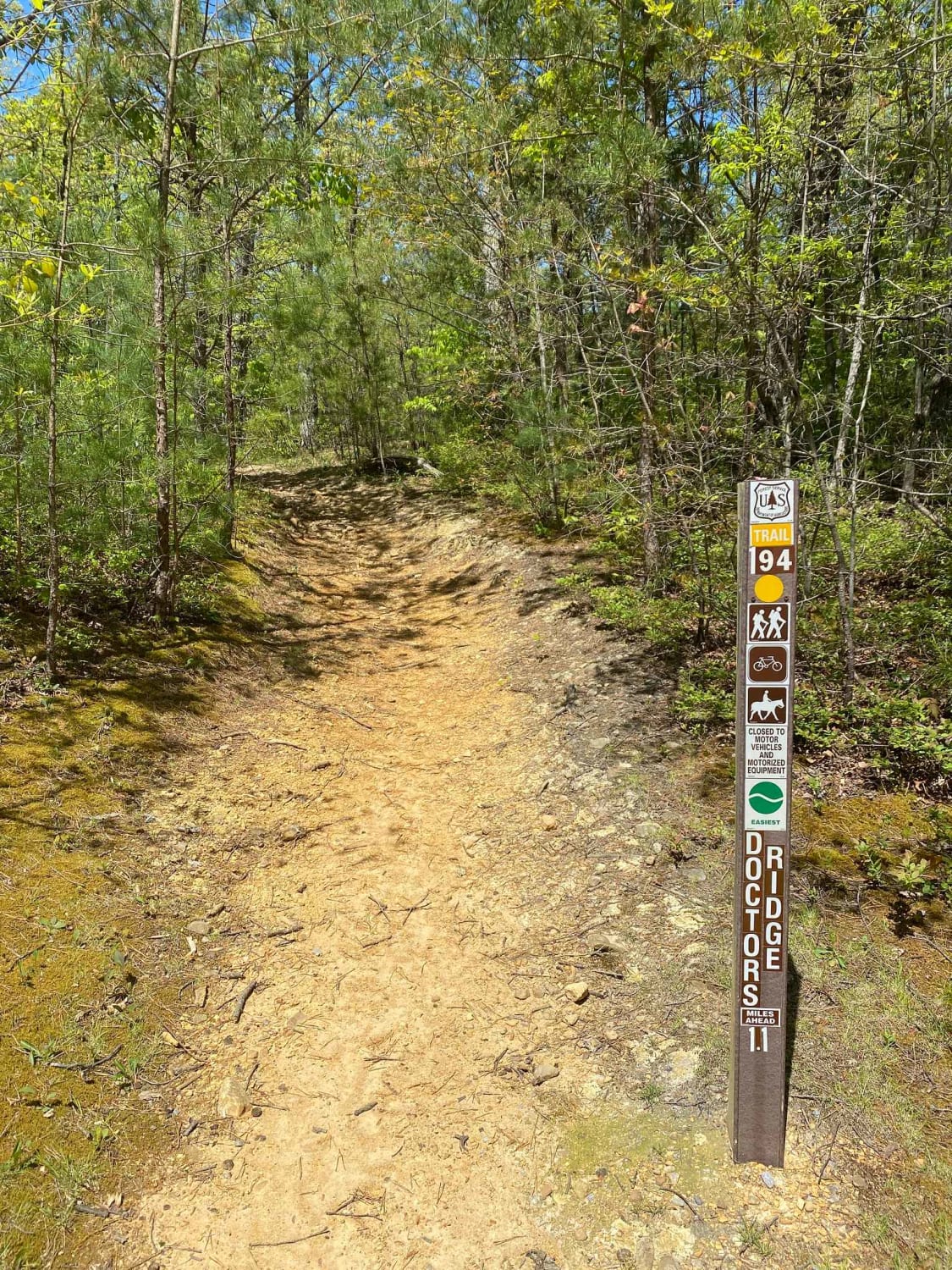
Jennings Creek Road
Total Miles
2.4
Tech Rating
Easy
Best Time
Spring, Fall
Learn more about Joe Carter Way
Joe Carter Way
Total Miles
1.6
Tech Rating
Easy
Best Time
Fall, Winter, Spring
Learn more about Jones Creek Road
Jones Creek Road
Total Miles
1.8
Tech Rating
Easy
Best Time
Fall, Summer, Spring

ATV trails in Tennessee
Learn more about 1 - Launchpad
1 - Launchpad
Total Miles
1.2
Tech Rating
Easy
Best Time
Spring, Summer, Fall, Winter
Learn more about 11 - Ground Control
11 - Ground Control
Total Miles
0.3
Tech Rating
Easy
Best Time
Spring, Summer, Fall, Winter
UTV/side-by-side trails in Tennessee
Learn more about 1 - Launchpad
1 - Launchpad
Total Miles
1.2
Tech Rating
Easy
Best Time
Spring, Summer, Fall, Winter
Learn more about 11 - Ground Control
11 - Ground Control
Total Miles
0.3
Tech Rating
Easy
Best Time
Spring, Summer, Fall, Winter
The onX Offroad Difference
onX Offroad combines trail photos, descriptions, difficulty ratings, width restrictions, seasonality, and more in a user-friendly interface. Available on all devices, with offline access and full compatibility with CarPlay and Android Auto. Discover what you’re missing today!