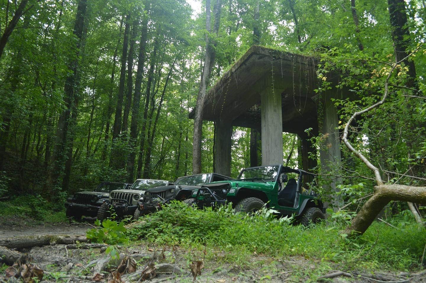
Off-Road Trails in Tennessee
Discover off-road trails in Tennessee
Learn more about Main Forest Road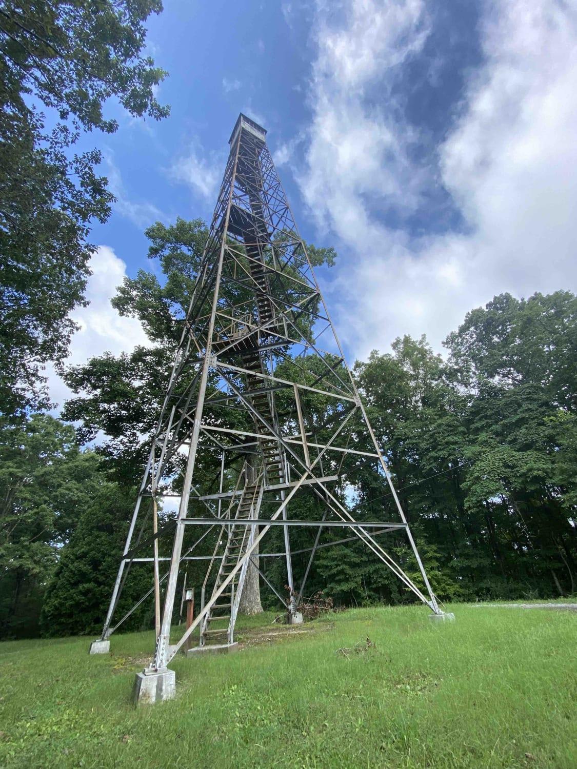
Main Forest Road
Total Miles
13.6
Tech Rating
Easy
Best Time
Spring, Summer, Fall
Learn more about Massengale Mountain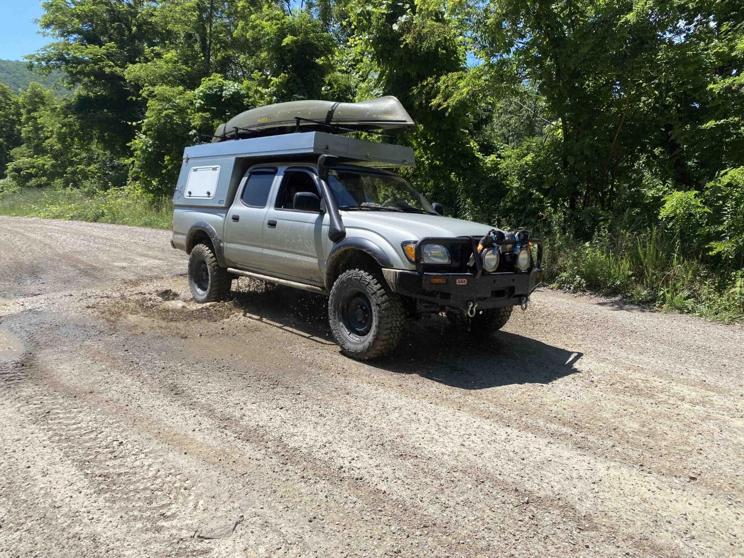
Massengale Mountain
Total Miles
14.3
Tech Rating
Easy
Best Time
Summer, Fall
Learn more about McCormick Cemetery Road - Trail 24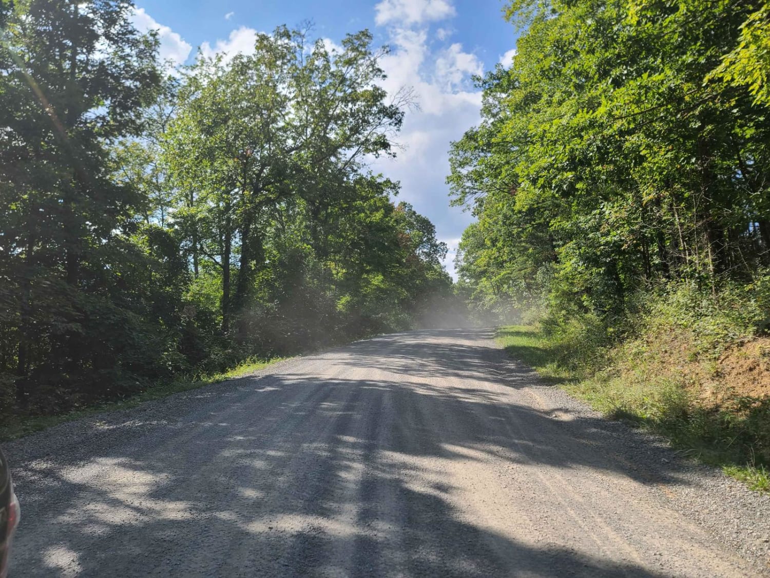
McCormick Cemetery Road - Trail 24
Total Miles
4.1
Tech Rating
Easy
Best Time
Spring, Summer, Fall
Learn more about McQueen's Gap
McQueen's Gap
Total Miles
5.9
Tech Rating
Easy
Best Time
Spring, Summer, Fall, Winter
Learn more about McQueen's Gap Spur - FS 60902
McQueen's Gap Spur - FS 60902
Total Miles
0.9
Tech Rating
Easy
Best Time
Spring, Summer, Fall
Learn more about Meadow Creek Tower Road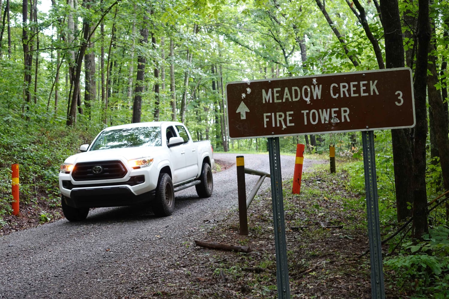
Meadow Creek Tower Road
Total Miles
2.3
Tech Rating
Easy
Best Time
Summer, Fall
Learn more about Montgomery Road
Montgomery Road
Total Miles
0.4
Tech Rating
Easy
Best Time
Spring, Summer, Fall, Winter
Learn more about Morgan Cemetery Road FSR 222
Morgan Cemetery Road FSR 222
Total Miles
0.7
Tech Rating
Easy
Best Time
Summer, Spring, Fall, Winter
Learn more about Mossy Springs
Mossy Springs
Total Miles
6.4
Tech Rating
Easy
Best Time
Spring, Summer, Fall
Learn more about Mule Trail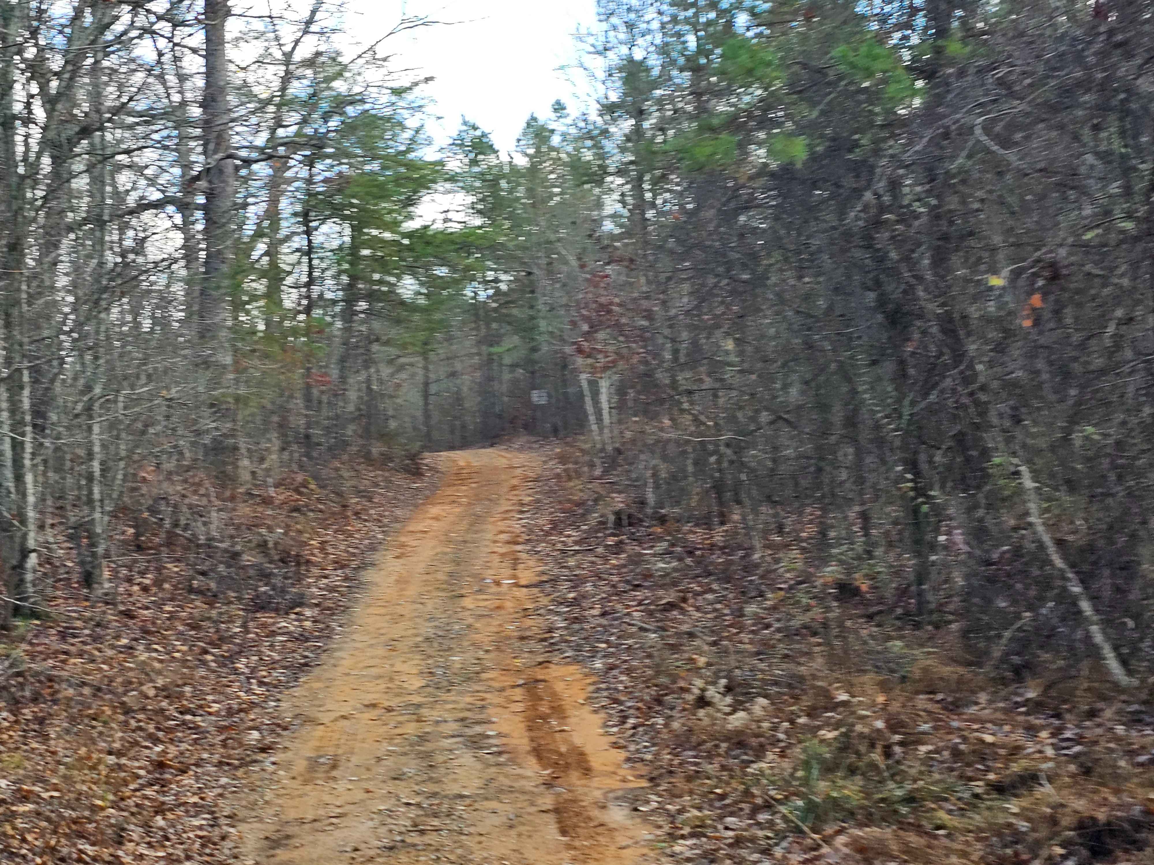
Mule Trail
Total Miles
0.4
Tech Rating
Easy
Best Time
Winter, Fall, Summer, Spring
Learn more about Myatt Creek Road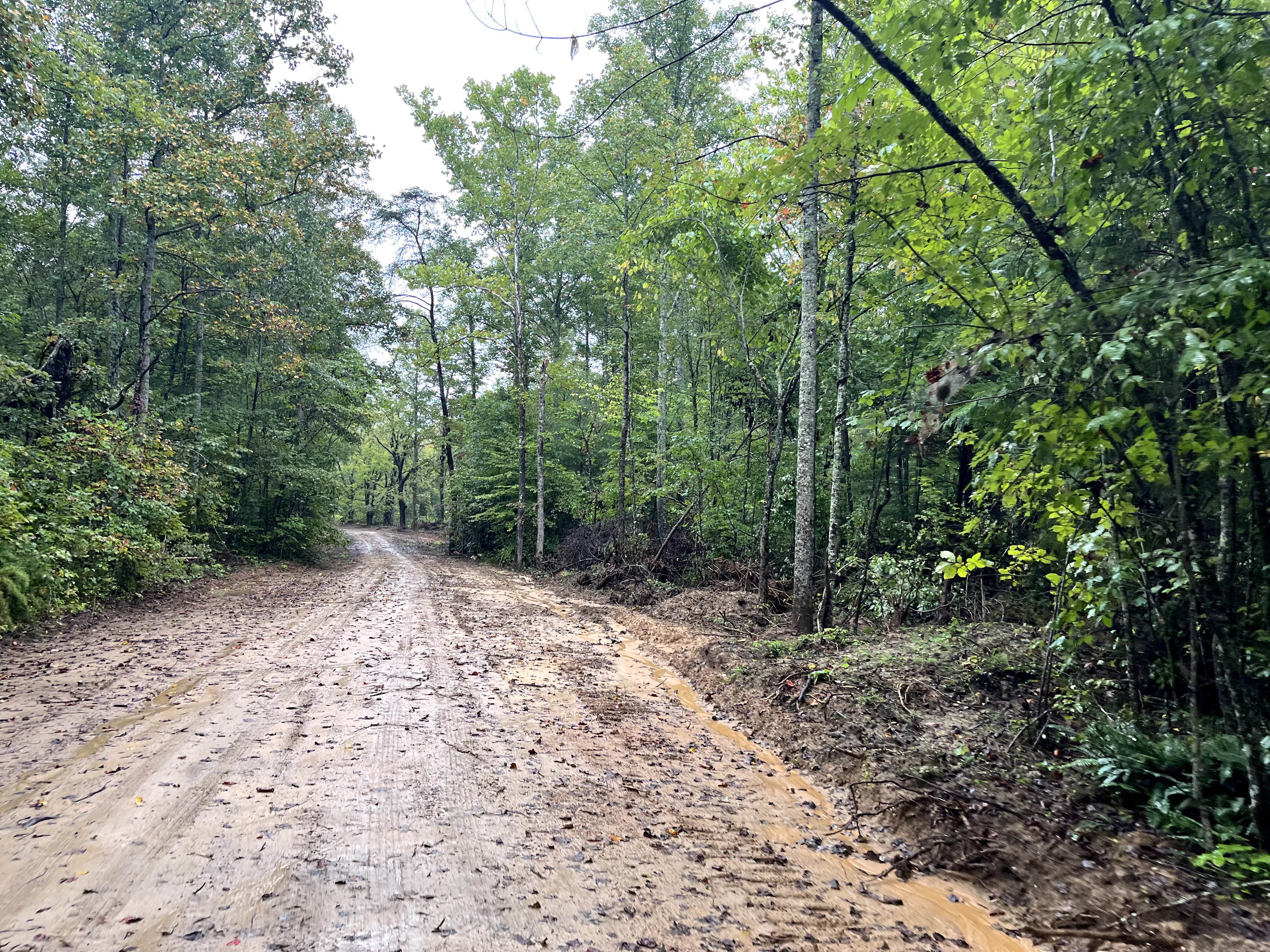
Myatt Creek Road
Total Miles
7.6
Tech Rating
Easy
Best Time
Spring, Fall, Winter
Learn more about Neville Bay Road 214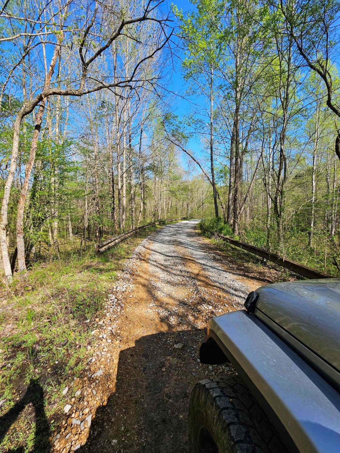
Neville Bay Road 214
Total Miles
4.9
Tech Rating
Easy
Best Time
Spring, Summer, Fall, Winter
Learn more about New River Express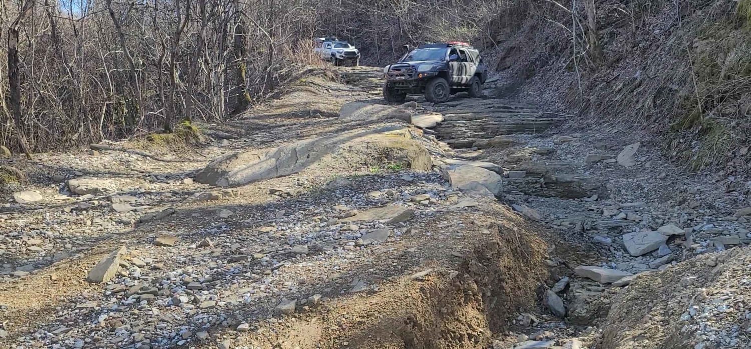
New River Express
Total Miles
3.7
Tech Rating
Moderate
Best Time
Spring, Summer, Fall, Winter
Learn more about No Business Knob
No Business Knob
Total Miles
4.5
Tech Rating
Easy
Best Time
Spring, Summer, Fall, Winter
Learn more about North River Shortcut - 216
North River Shortcut - 216
Total Miles
3.8
Tech Rating
Easy
Best Time
Spring, Summer, Fall, Winter
Learn more about Old Flatwoods
Old Flatwoods
Total Miles
3.5
Tech Rating
Easy
Best Time
Spring, Summer, Fall
Learn more about Old Furnace Road - FSR 76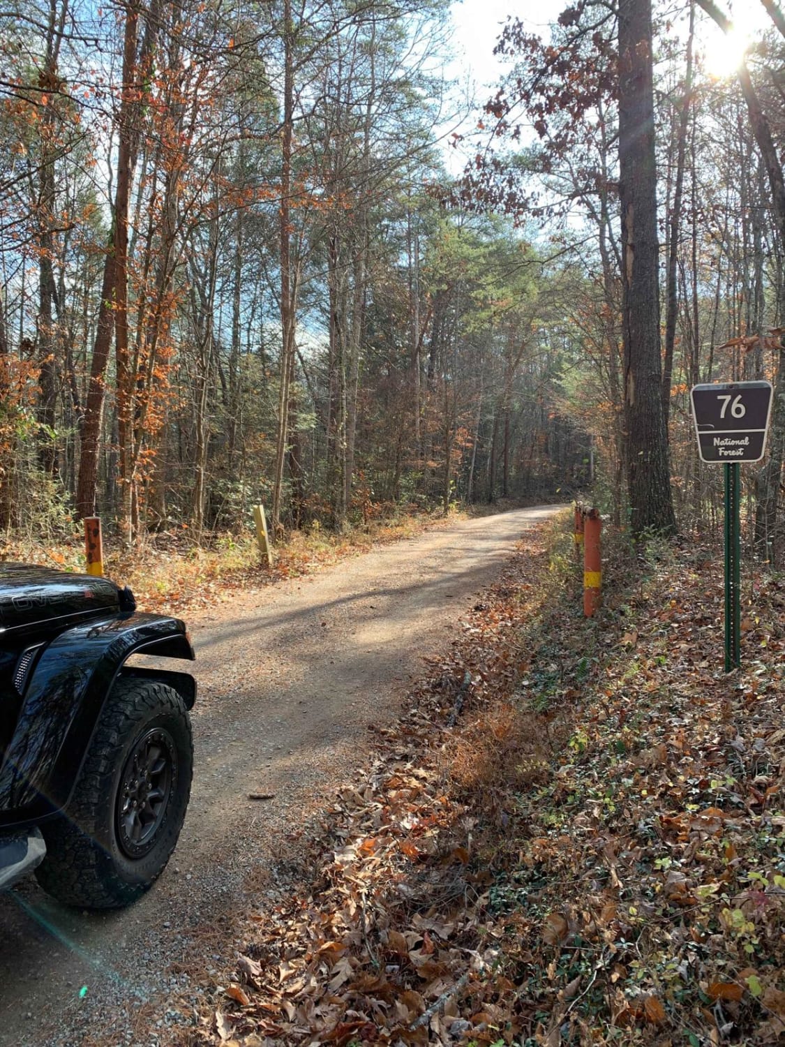
Old Furnace Road - FSR 76
Total Miles
5.2
Tech Rating
Easy
Best Time
Winter
ATV trails in Tennessee
Learn more about 1 - Launchpad
1 - Launchpad
Total Miles
1.2
Tech Rating
Easy
Best Time
Spring, Summer, Fall, Winter
Learn more about 11 - Ground Control
11 - Ground Control
Total Miles
0.3
Tech Rating
Easy
Best Time
Spring, Summer, Fall, Winter
UTV/side-by-side trails in Tennessee
Learn more about 1 - Launchpad
1 - Launchpad
Total Miles
1.2
Tech Rating
Easy
Best Time
Spring, Summer, Fall, Winter
Learn more about 11 - Ground Control
11 - Ground Control
Total Miles
0.3
Tech Rating
Easy
Best Time
Spring, Summer, Fall, Winter
The onX Offroad Difference
onX Offroad combines trail photos, descriptions, difficulty ratings, width restrictions, seasonality, and more in a user-friendly interface. Available on all devices, with offline access and full compatibility with CarPlay and Android Auto. Discover what you’re missing today!