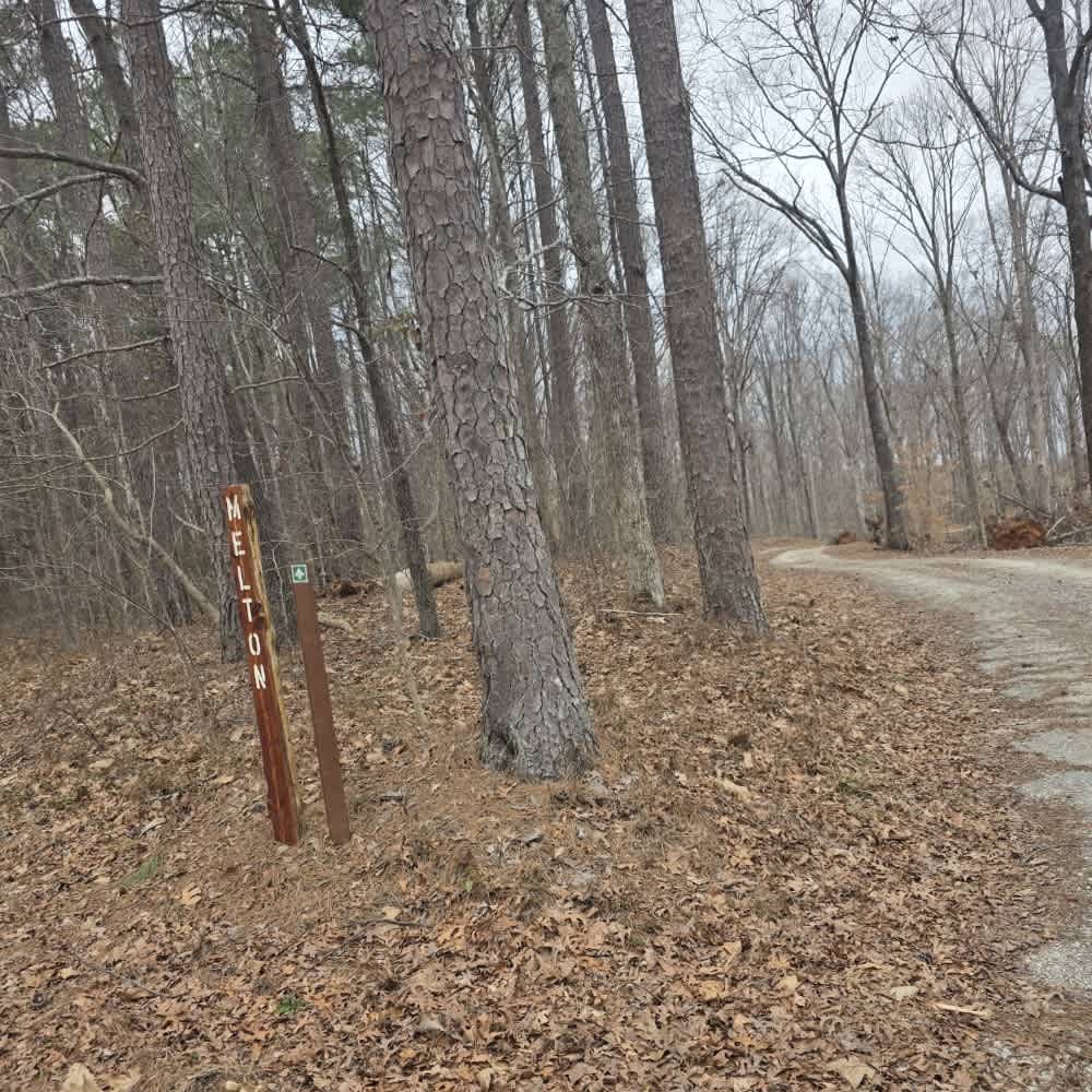
Melton
Total Miles
3.2
Technical Rating
Best Time
Spring, Summer, Fall
Trail Type
Full-Width Road
Accessible By
Trail Overview
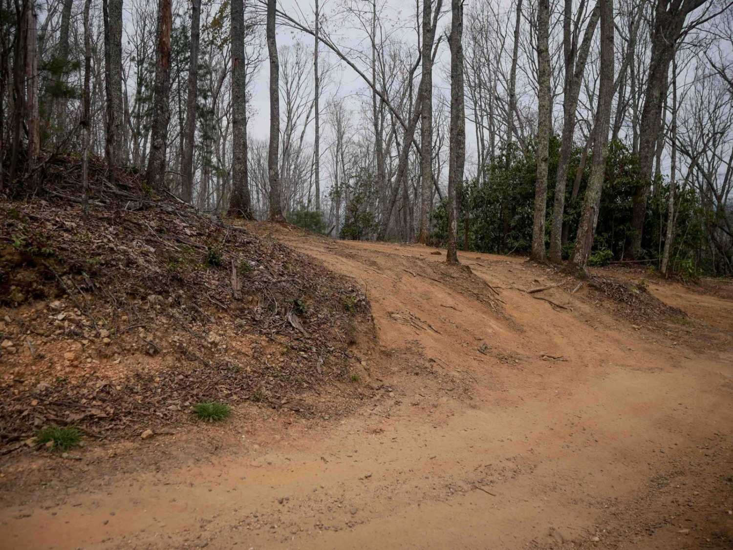
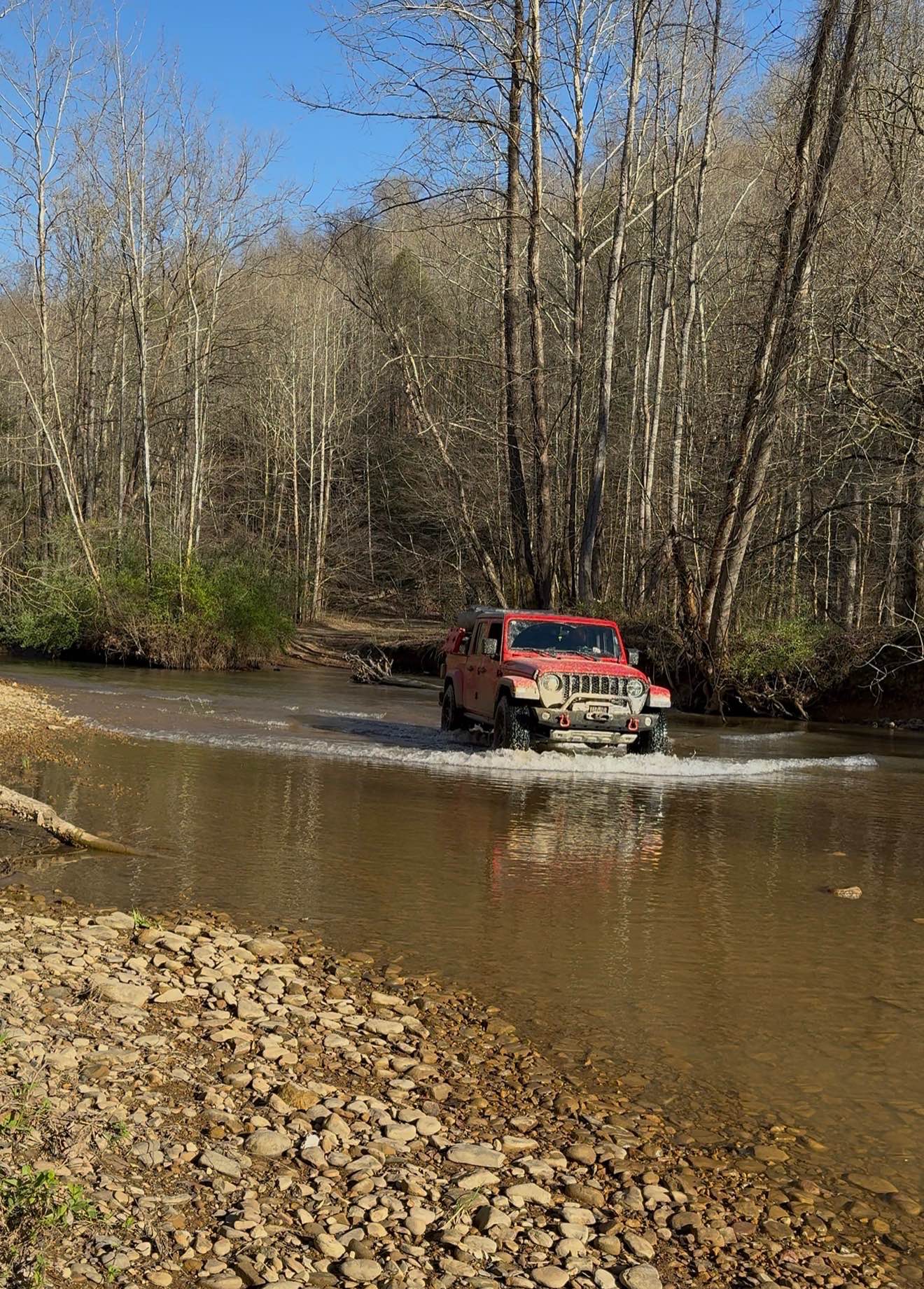
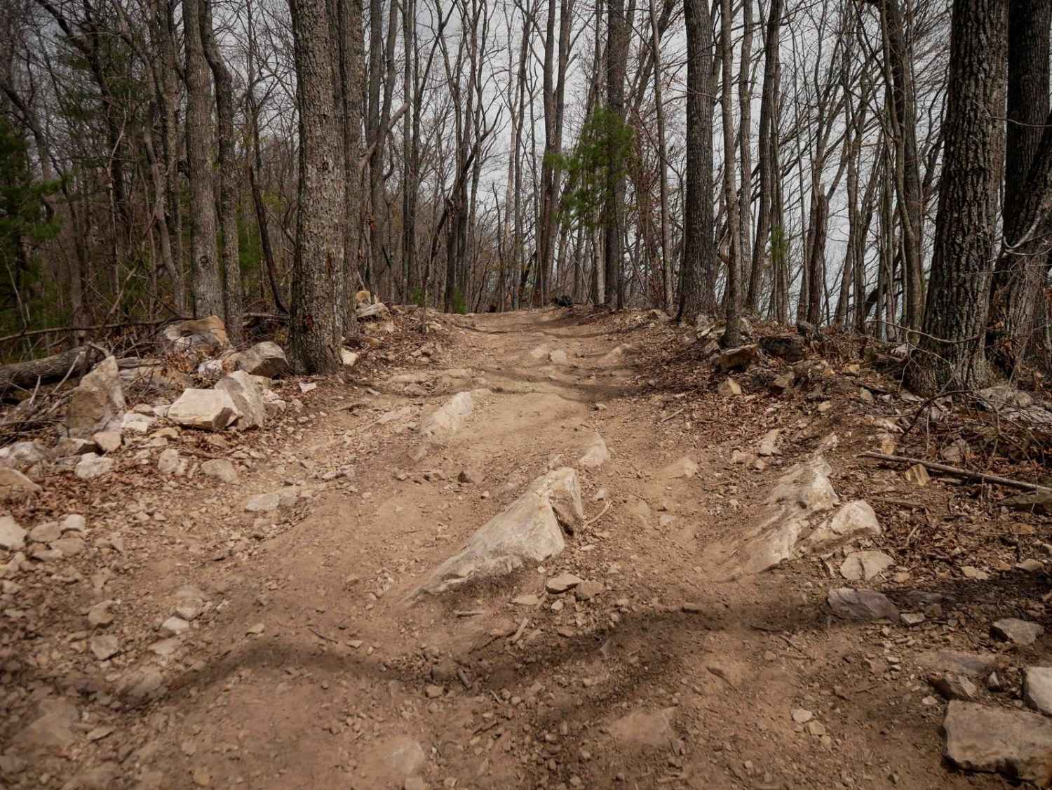
Melton Trail is an easy mixed-surface route featuring gravel and dirt with a solid, well-maintained base. Recent grading has introduced sections of larger gravel and fresh dirt, providing consistent traction under normal conditions. The trail experiences moderate elevation changes, gaining approximately 189 feet and descending about 157 feet, which can allow vehicles to pick up speed on downhill stretches. Drivers should remain mindful of speed control, especially on descents. Logging activity may occur in the area, so occasional equipment or truck traffic is possible. Fallen branches can also be present, particularly after storms. Multiple offshoots appear along portions of the route, but these are generally areas where park crews have pushed excess grading material aside and are not intended for travel. Melton Trail also provides access to the Todd and Smith Trail, making it a useful connector within the system. During winter months, restroom and staff availability is limited, with open facilities typically located only within the RV campground. As always, remain on the posted trail and respect active work areas.
Photos of Melton

Difficulty
Melton Trail is rated a 1 due to its maintained gravel and dirt surface, solid base, and absence of sustained obstacles. Although elevation changes are present, the grades remain manageable and do not introduce technical terrain features. Occasional fallen branches or loose gravel may be encountered, but these conditions do not significantly affect the overall driving experience. The sustained character of the route aligns with an easy dirt or rocky road suitable for most 4WD and high-clearance 2WD vehicles under normal conditions.
Status Reports
Melton can be accessed by the following ride types:
- High-Clearance 4x4
- SUV
- SxS (60")
- ATV (50")
- Dirt Bike
Melton Map
Popular Trails

Log Road 1
The onX Offroad Difference
onX Offroad combines trail photos, descriptions, difficulty ratings, width restrictions, seasonality, and more in a user-friendly interface. Available on all devices, with offline access and full compatibility with CarPlay and Android Auto. Discover what you’re missing today!