
Off-Road Trails in Tennessee
Discover off-road trails in Tennessee
Off-Road Trails in Tennessee
Discover the best off-road trails in Tennessee. Browse trail maps, check difficulty ratings, and find your next adventure — whether you're looking for a quick ride or an all-day expedition.
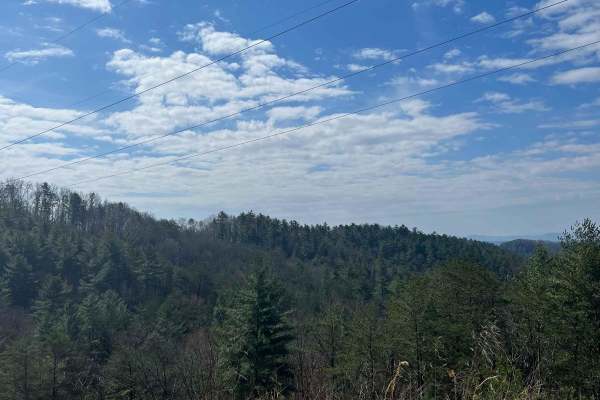
Shuler Creek
This trail has easy access gravel road off Highway 68 in Farner. The road is 2 vehicles wide and has mostly gentle elevations. It starts out running parallel to the Hiwassee River and then a branch of Shuler Creek. Along the way, there are pullovers and an occasional campsite. The creek is wide and ...
Learn more about Shuler Creek
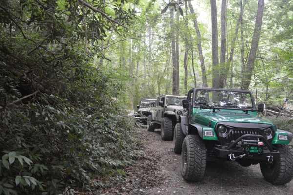
Smith Mountain
About 100 yards into the trail, there is a decent hill climb with some decent-size rocks. High clearance is nice to have. However, stock rigs with the right tire placement will be just fine. Most of the trail is a nice trail with some overlooks in the winter. Once the leaves are on the trees, it bec...
Learn more about Smith Mountain
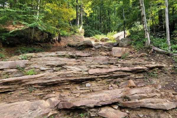
Trail 3 - Differential Dragger
Bring your recovery gear! This rock bouncer trail is designed to bring a technical challenge to one of Windrock Park's most scenic areas. This near-vertical trail is filled with sedan-sized boulders and slick rock from cascading waterfalls. There are multiple routes through this trail, and if you ca...
Learn more about Trail 3 - Differential Dragger
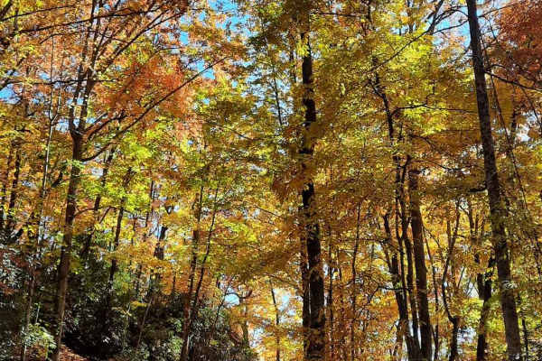
Jumping Off - SCAR Alternate
West of Table Rock you will find this scenic out-and-back diversion. It's a nice addition to add some more challenging riding or driving to the main South Carolina Adventure Route loop. Along its path, you will encounter steep grades which are often rutted and loose.
About the SCAR: The South Carol...
Learn more about Jumping Off - SCAR Alternate

Fox Hollow Bottoms FSR 219
The Fox Hollow Bottoms FSR 219 is a gravel forestry road through the southern Tennessee section, Lake Barkley side, of Land Between the Lake National Recreation Area. To differ from the other half of Fox Hollow, the Bottoms traverses alongside the feeder creeks that lead to the Fox Hollow bay area o...
Learn more about Fox Hollow Bottoms FSR 219
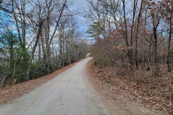
Old NC 105
Old NC 105 is an ideal scenic route for beginner off-roaders, overland campers, and sightseers looking for unparalleled, sweeping views of the Linville Gorge and Table Rock Mountain. Stretching approximately 13.7 miles along the western rim of the gorge, this rugged dirt road climbs from an elevatio...
Learn more about Old NC 105
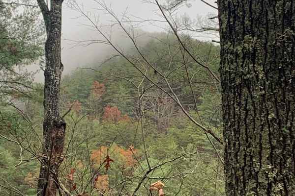
Big Frog - FS 62
Big Frog - FS 62 is an excellent forest road route for intermediate offroaders looking to explore the scenic, lesser-maintained mountain terrain bordering Georgia and Tennessee. Spanning approximately 11.4 miles, this trail is a key segment of the famous Georgia Traverse, offering a rugged trek thro...
Learn more about Big Frog - FS 62
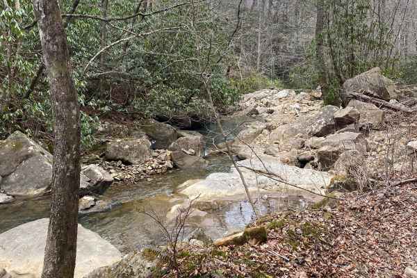
Trail 86 Windrock
Trail 86 runs along Round Rock Creek. The trail not only runs along the creek but you will have a creek crossing. Please make sure you stay safe during the creek crossing since the area might have excessive rain that could lead to fast-moving water. 86 also will have some mud and rock. There is no c...
Learn more about Trail 86 Windrock
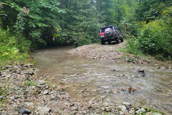
G21 - Skinned Ash Creek
G21 - Skinned Ash Creek gets its name from the waterway that runs parallel to it. This dead-end path cuts across a picturesque mountain side showing the power of nature. Water has cut large ruts into the trail side with depths as far as 2.5 feet deep. This tire-swallowing rut is easy to avoid in mos...
Learn more about G21 - Skinned Ash Creek
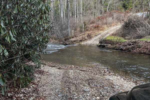
Dicks Creek to Dark Hollow (Unicoi to Erwin)
This is an intermediate to advanced trail depending on the vehicle being used. There are multiple water crossings, logs, rocks, and steep-off camber sections. If you're using a full-size vehicle be cautious of narrow trail spots and low-hanging tree branches. Water crossings can be dangerous after a...
Learn more about Dicks Creek to Dark Hollow (Unicoi to Erwin)
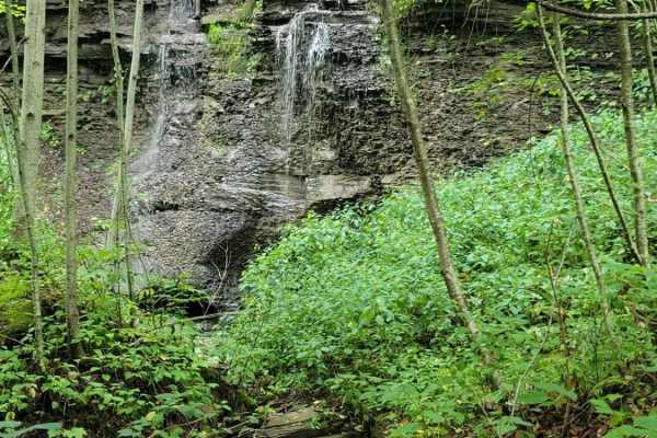
Trail 5 - Flat Gap
Trail 5 - Flat Gap begins at the major intersection of G37, G3, and G33. There isn't much elevation change on this trail, hence its name. This easy blue according to the Park's Map is smooth sailing and preferred by some to avoid the higher traveled G5 and G6 as they have gotten significantly worse ...
Learn more about Trail 5 - Flat Gap
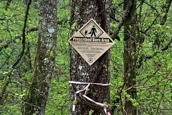
Sina Branch Road - Big Frog
This is a fire service road that was somewhat rougher when we visited and there were areas that looked like they were washing out. It doesn't require a 4x4 to traverse. While on this trail, you won't have cell service if you're using Verizon. The fall season is likely to offer some great views, and ...
Learn more about Sina Branch Road - Big Frog
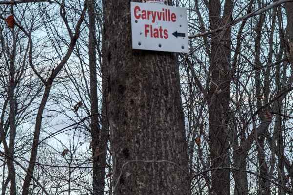
62
Trail 62 in Windrock Park offers offroaders an engaging, scenic climb that serves as a key connecting route to the expansive Caryville Flats. This 1.1-mile trail is ideal for drivers of stock four-wheel-drive vehicles and SxSs looking for a moderate challenge without extreme risks. Starting at an el...
Learn more about 62
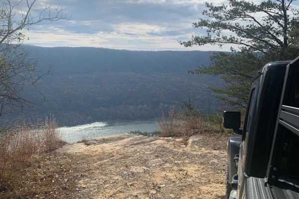
Tower Road
This is a very level and maintained road that any vehicle should be able to travel. This is the main road through Prentice Cooper Wildlife Management Area that you will use to access all of the other trails. There are some great views of Signal Mountain and the surrounding area from this trail. At t...
Learn more about Tower Road
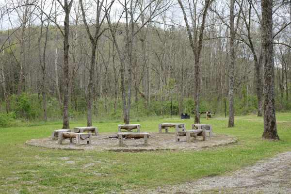
Rock Creek Road
Rock Creek Road parallels the stream from which it gets its name for approximately 8.2 miles. While there are several day use and dispersed campsites along the road it also passes by some private property. Rock Creek is stocked with rainbow by the Kentucky Department of Fish and Wildlife throughout ...
Learn more about Rock Creek Road
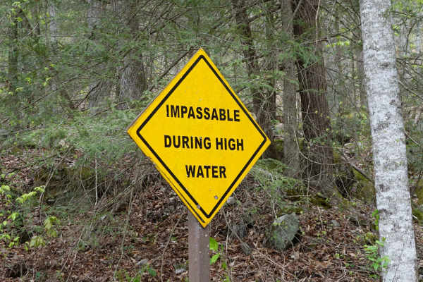
Woods Road
Woods Road is a great area that offers dispersed camping, campground camping, hiking, and fishing options all along the 7 mile stretch of gravel. Woods Road parallels Rock Creek for most of its length and provides a great base to further explore Daniel Boone National Forest and Big South Fork. Gobbl...
Learn more about Woods Road
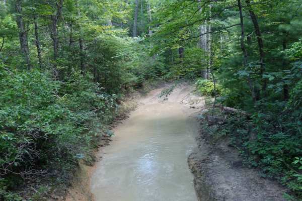
Shad Road
The two ends of Shad Road that connect to Hurricane Gap are rather misleading. While it starts out as a relatively tame gravel two-track, the middle section is much more difficult than you may be led to believe in the first half mile at each end. A few campsites are scattered along each end, but non...
Learn more about Shad Road
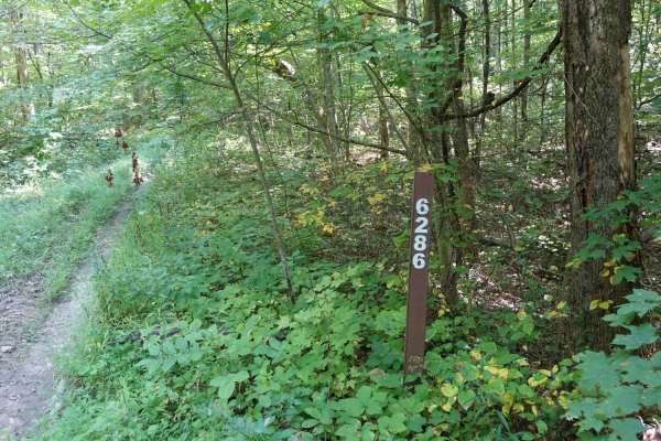
Stephens Knob
Stephens Knob is relatively unassuming for the majority of its 7.7-mile length. It's a very well-maintained gravel road. During the winter, nice views are available off of the north side. There's a split at the end of the gravel, and both options lead back to a small grassy campsite. Cell service is...
Learn more about Stephens Knob
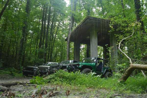
McFarland Rd
McFarland Road is an easy, scenic 21-mile point-to-point route in the Cherokee National Forest that is perfect for beginners, overland families, and scenic tourers looking for a history-rich drive. Winding through dense forests and rising to a maximum elevation of 1,977 feet, this wide, double-lane ...
Learn more about McFarland Rd
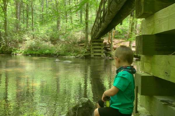
Fingerboard Road
This trail is a gravel trail to the trailhead to some pretty cool hikes. With a few spots to camp down next to a quiet little stream. Along the way, you will find some washouts with some hidden culverts that can be uncovered after storms so just be on the watch. This is an out-and-back trail that wi...
Learn more about Fingerboard Road
ATV trails in Tennessee
Explore ATV-friendly trails in Tennessee. These trails are accessible for vehicles up to 50 inches wide, perfect for ATVs and smaller off-road machines.
Shuler Creek
This trail has easy access gravel road off Highway 68 in Farner. The road is 2 vehicles wide and has mostly gentle elevations. It starts out running parallel to the Hiwassee River and then a branch of Shuler Creek. Along the way, there are pullovers and an occasional campsite. The creek is wide and ...
Learn more about Shuler Creek
Trail 3 - Differential Dragger
Bring your recovery gear! This rock bouncer trail is designed to bring a technical challenge to one of Windrock Park's most scenic areas. This near-vertical trail is filled with sedan-sized boulders and slick rock from cascading waterfalls. There are multiple routes through this trail, and if you ca...
Learn more about Trail 3 - Differential Dragger
Jumping Off - SCAR Alternate
West of Table Rock you will find this scenic out-and-back diversion. It's a nice addition to add some more challenging riding or driving to the main South Carolina Adventure Route loop. Along its path, you will encounter steep grades which are often rutted and loose.
About the SCAR: The South Carol...
Learn more about Jumping Off - SCAR Alternate
Big Frog - FS 62
Big Frog - FS 62 is an excellent forest road route for intermediate offroaders looking to explore the scenic, lesser-maintained mountain terrain bordering Georgia and Tennessee. Spanning approximately 11.4 miles, this trail is a key segment of the famous Georgia Traverse, offering a rugged trek thro...
Learn more about Big Frog - FS 62
UTV/side-by-side trails in Tennessee
Find UTV and side-by-side trails in Tennessee. These trails accommodate vehicles up to 60 inches wide, ideal for UTVs, side-by-sides, and wider off-road rigs.
Shuler Creek
This trail has easy access gravel road off Highway 68 in Farner. The road is 2 vehicles wide and has mostly gentle elevations. It starts out running parallel to the Hiwassee River and then a branch of Shuler Creek. Along the way, there are pullovers and an occasional campsite. The creek is wide and ...
Learn more about Shuler Creek
Trail 3 - Differential Dragger
Bring your recovery gear! This rock bouncer trail is designed to bring a technical challenge to one of Windrock Park's most scenic areas. This near-vertical trail is filled with sedan-sized boulders and slick rock from cascading waterfalls. There are multiple routes through this trail, and if you ca...
Learn more about Trail 3 - Differential Dragger
Jumping Off - SCAR Alternate
West of Table Rock you will find this scenic out-and-back diversion. It's a nice addition to add some more challenging riding or driving to the main South Carolina Adventure Route loop. Along its path, you will encounter steep grades which are often rutted and loose.
About the SCAR: The South Carol...
Learn more about Jumping Off - SCAR Alternate
Big Frog - FS 62
Big Frog - FS 62 is an excellent forest road route for intermediate offroaders looking to explore the scenic, lesser-maintained mountain terrain bordering Georgia and Tennessee. Spanning approximately 11.4 miles, this trail is a key segment of the famous Georgia Traverse, offering a rugged trek thro...
Learn more about Big Frog - FS 62
The onX Offroad Difference
onX Offroad combines trail photos, descriptions, difficulty ratings, width restrictions, seasonality, and more in a user-friendly interface. Available on all devices, with offline access and full compatibility with CarPlay and Android Auto. Discover what you're missing today!
Open Trail Map