Off-Road Trails in Tennessee
Discover off-road trails in Tennessee
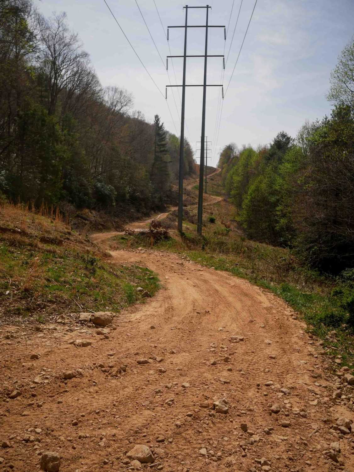
Learn more about Ride Royal Blue Trail - Trail 27
Ride Royal Blue Trail - Trail 27
Total Miles
1.7
Tech Rating
Moderate
Best Time
Spring, Summer, Fall
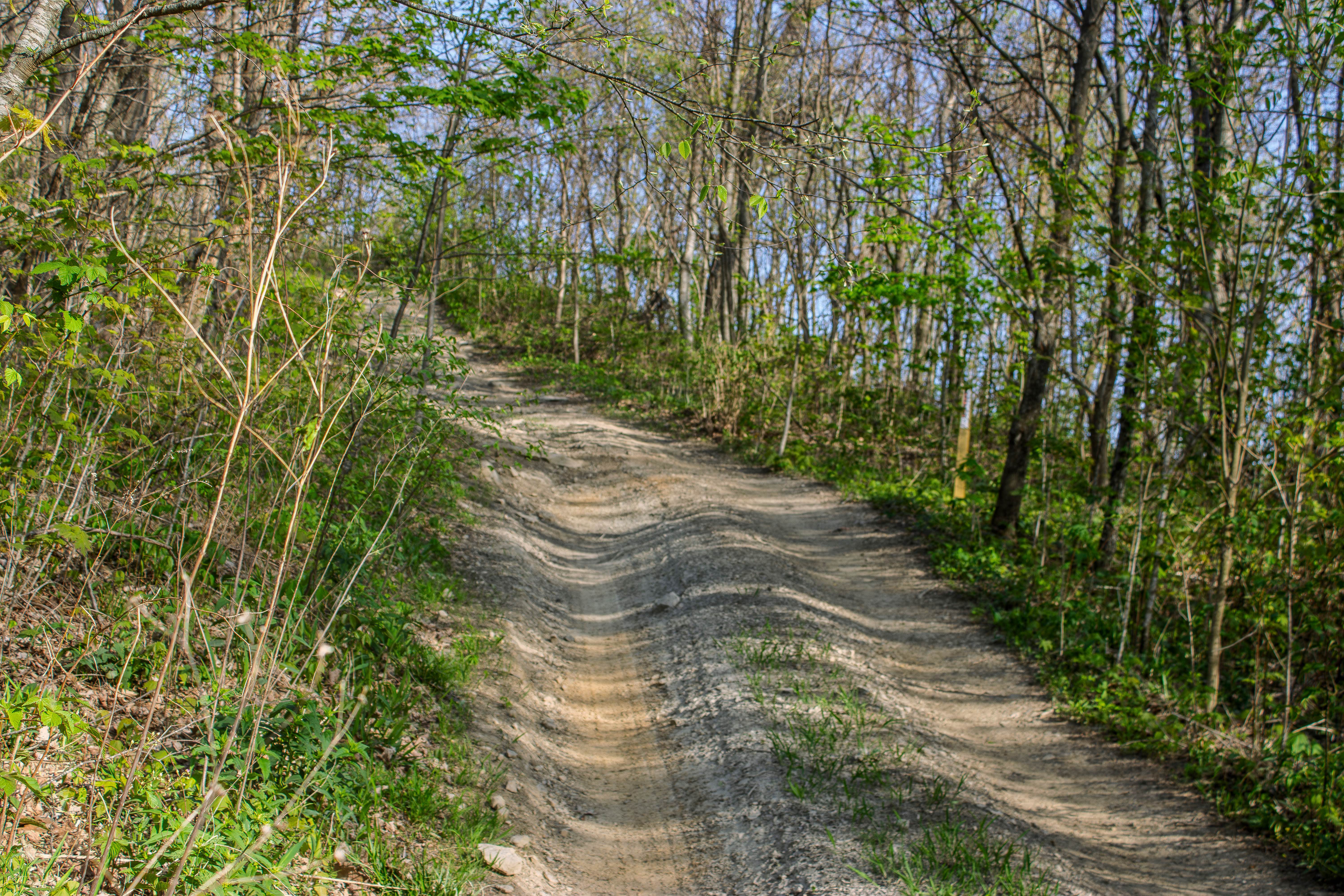
Learn more about Rocky Branch Road
Rocky Branch Road
Total Miles
1.3
Tech Rating
Easy
Best Time
Spring, Summer, Fall
Learn more about Round Knob Road - FS88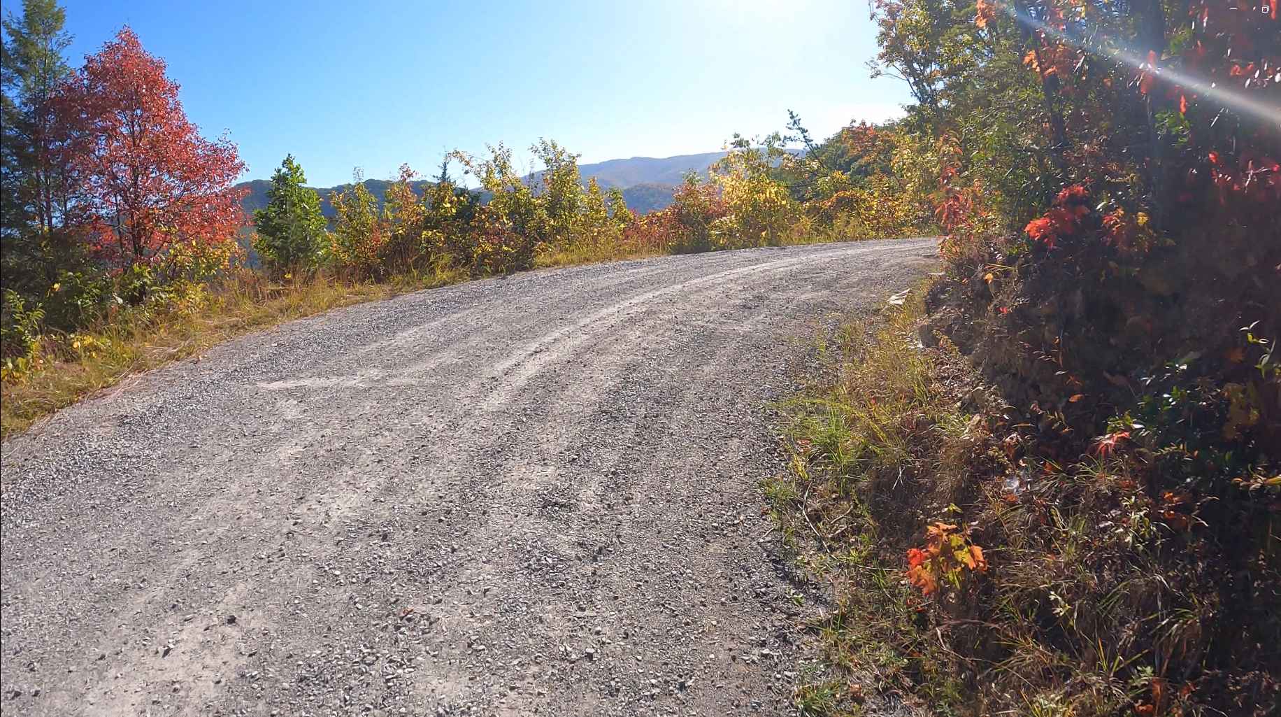
Round Knob Road - FS88
Total Miles
4.2
Tech Rating
Easy
Best Time
Fall
Learn more about S8 Trail
S8 Trail
Total Miles
5.8
Tech Rating
Moderate
Best Time
Spring, Summer, Fall, Winter
Learn more about Salt Lick Creek Crossing
Salt Lick Creek Crossing
Total Miles
0.9
Tech Rating
Moderate
Best Time
Spring, Summer, Fall


Learn more about Shiloh's Playground
Shiloh's Playground
Total Miles
0.5
Tech Rating
Moderate
Best Time
Spring, Summer
Learn more about Shockley Hill Road - Macon County Tour
Shockley Hill Road - Macon County Tour
Total Miles
0.5
Tech Rating
Easy
Best Time
Spring, Fall
Learn more about Sina Branch Road - Big Frog
Sina Branch Road - Big Frog
Total Miles
8.9
Tech Rating
Easy
Best Time
Spring, Summer, Fall, Winter
ATV trails in Tennessee
Learn more about 1 - Launchpad
1 - Launchpad
Total Miles
1.2
Tech Rating
Easy
Best Time
Spring, Summer, Fall, Winter
Learn more about 11 - Ground Control
11 - Ground Control
Total Miles
0.3
Tech Rating
Easy
Best Time
Spring, Summer, Fall, Winter
UTV/side-by-side trails in Tennessee
Learn more about 1 - Launchpad
1 - Launchpad
Total Miles
1.2
Tech Rating
Easy
Best Time
Spring, Summer, Fall, Winter
Learn more about 11 - Ground Control
11 - Ground Control
Total Miles
0.3
Tech Rating
Easy
Best Time
Spring, Summer, Fall, Winter
The onX Offroad Difference
onX Offroad combines trail photos, descriptions, difficulty ratings, width restrictions, seasonality, and more in a user-friendly interface. Available on all devices, with offline access and full compatibility with CarPlay and Android Auto. Discover what you’re missing today!