S4
Total Miles
1.6
Technical Rating
Best Time
Spring, Summer, Fall, Winter
Trail Type
Full-Width Road
Accessible By
Trail Overview
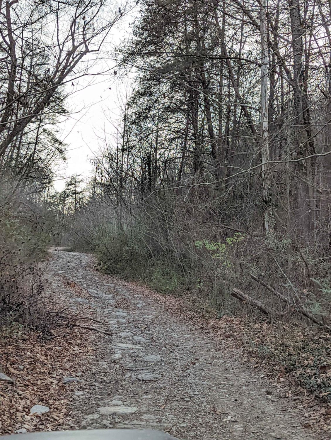
S4 is a two-way trail that connects S5 and S6. The trail is made up mostly of dirt, but it has several sections where mud, standing water, deep ruts, loose rock, and tight trees make it more challenging. There are a few places where vehicles can pull over and pass, but most of the trail is narrow. Drivers should be prepared to meet oncoming traffic and may need to back up to a wider area if passing is not possible. The water and mud holes on S4 can become deeper during or after rain. Under normal conditions, the standing water is usually around 12 to 18 inches deep, but recent weather can change that quickly. The easier dirt sections are broken up by more technical areas where the trail becomes noticeably more difficult. One of the main challenges is a section with deep ruts and large rocks that must be crossed carefully. There is also a steep descent on loose rock, where traction can be limited, and the rocks may move under the tires. There is no bypass around the harder section, so drivers need to choose a line that best fits their vehicle. The larger rocks can shift, causing traction loss or making the vehicle slide off line. High-clearance 4WD is recommended, and lockers or aggressive tires may be helpful depending on conditions. Drivers should also expect tight tree sections where limbs may rub against the vehicle.
Photos of S4
Difficulty
S4 earns a 5/10 rating because it has several features that move it beyond a basic moderate trail. The trail includes mud and water that can stand around 12 to 18 inches deep, narrow sections with limited passing, deep ruts, large loose rocks, and a steep rocky descent. The lack of a bypass around the harder section increases the difficulty because drivers must commit to the obstacle and pick the best line for their vehicle. Wet weather can make the mud holes deeper and the loose rock more difficult to control.
Status Reports
S4 can be accessed by the following ride types:
- High-Clearance 4x4
- SUV
- SxS (60")
- ATV (50")
- Dirt Bike
S4 Map
Popular Trails
Dicks Creek to Dark Hollow (Unicoi to Erwin)
Buffalo Mountain - Fire Tower Climb
The onX Offroad Difference
onX Offroad combines trail photos, descriptions, difficulty ratings, width restrictions, seasonality, and more in a user-friendly interface. Available on all devices, with offline access and full compatibility with CarPlay and Android Auto. Discover what you’re missing today!