4 Lane
Total Miles
7.5
Technical Rating
Best Time
Spring, Summer, Fall, Winter
Trail Type
Full-Width Road
Accessible By
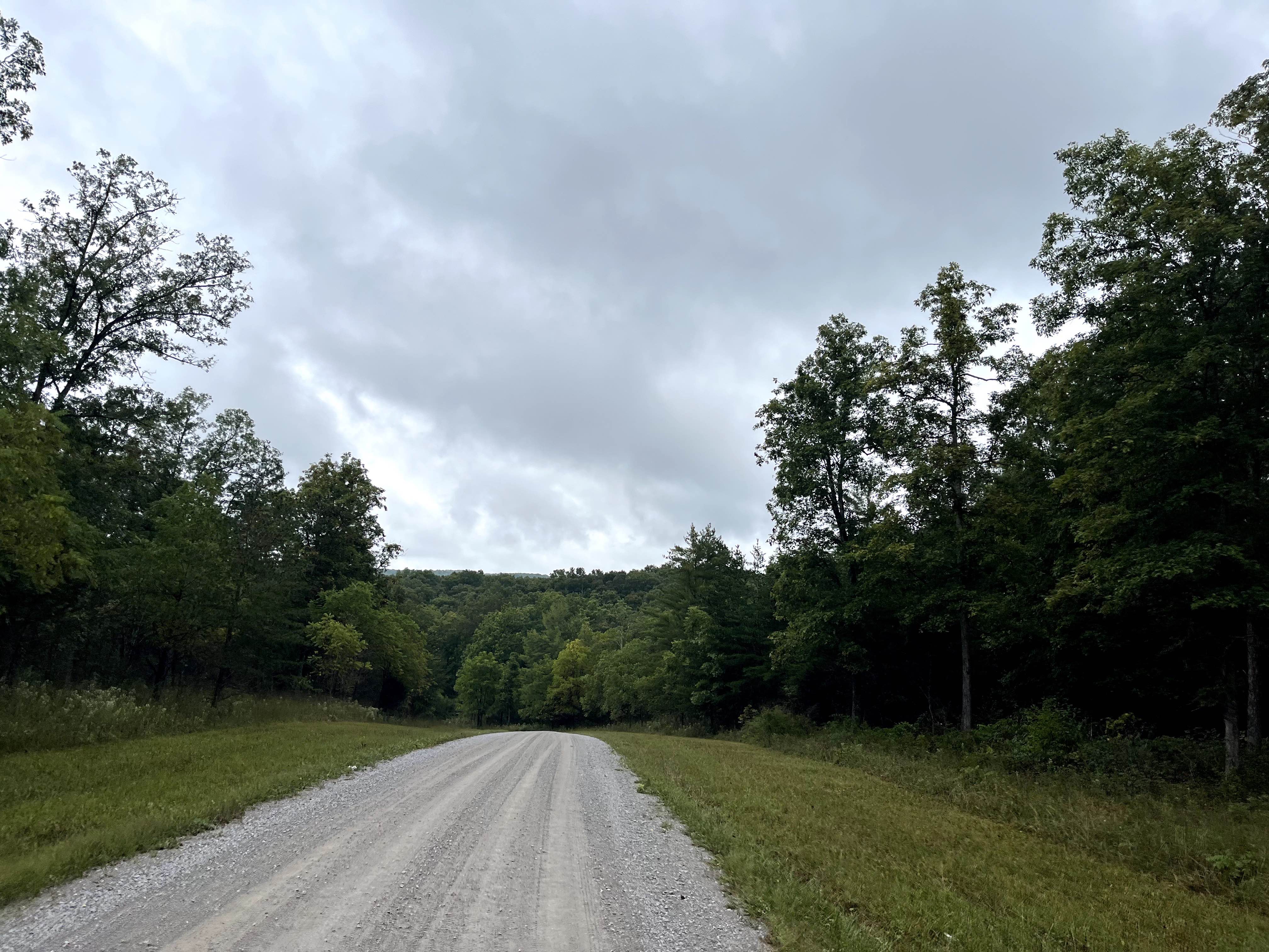
Trail Overview
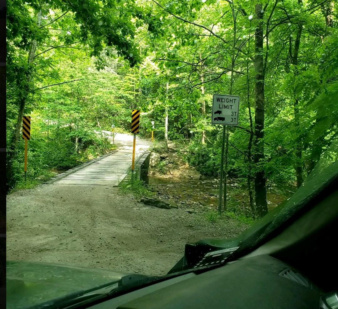
4 Lane is a long, two-way trail made up mostly of dirt with some gravel mixed in. The trail connects from Moores Camp off Road 116 on the west side and runs toward the WMA boundary. At the fork near the end, the route continues, but that point marks the start of a different trail. This makes 4 Lane a good connector route with plenty of options, since several other trails branch off along the way. The trail has many places to stop, pull over, and explore the surrounding area. Most of the route is manageable for a high-clearance 4WD vehicle, but conditions can change quickly with the weather. After rain, some low areas may hold water up to about 12 inches deep. Other sections have a steady flow of water across the trail from natural springs, which can make the surface slick. There are also a few steeper climbs and descents that require careful tire placement, especially when the trail is wet. One unique feature along 4 Lane is the number of oil and gas pump stations located near the trail. It adds something different to look for while driving the route, so see how many you can count along the way. Overall, 4 Lane is a scenic and useful connector trail with mild obstacles, water crossings, and several opportunities to explore nearby trails.
Photos of 4 Lane
Difficulty
This trail earns a 3/10 rating because it is mostly dirt and gravel, but it includes enough changing conditions to require attention from the driver. The water crossings and spring-fed wet areas can reach around 12 inches after rain, and some sections may become slick. A few steeper climbs and descents add to the challenge, especially in wet weather. In dry conditions, the trail should be manageable for most high-clearance 4WD vehicles, but rain can increase the difficulty.
Status Reports
4 Lane can be accessed by the following ride types:
- High-Clearance 4x4
- SUV
- SxS (60")
- ATV (50")
- Dirt Bike
4 Lane Map
Popular Trails
Pot Pt Road
Hebbertburg Road
Catoosa WMA Noah Hambey
The onX Offroad Difference
onX Offroad combines trail photos, descriptions, difficulty ratings, width restrictions, seasonality, and more in a user-friendly interface. Available on all devices, with offline access and full compatibility with CarPlay and Android Auto. Discover what you’re missing today!