Hebbertburg Road
Total Miles
2.6
Technical Rating
Best Time
Spring, Fall, Winter
Trail Type
Full-Width Road
Accessible By
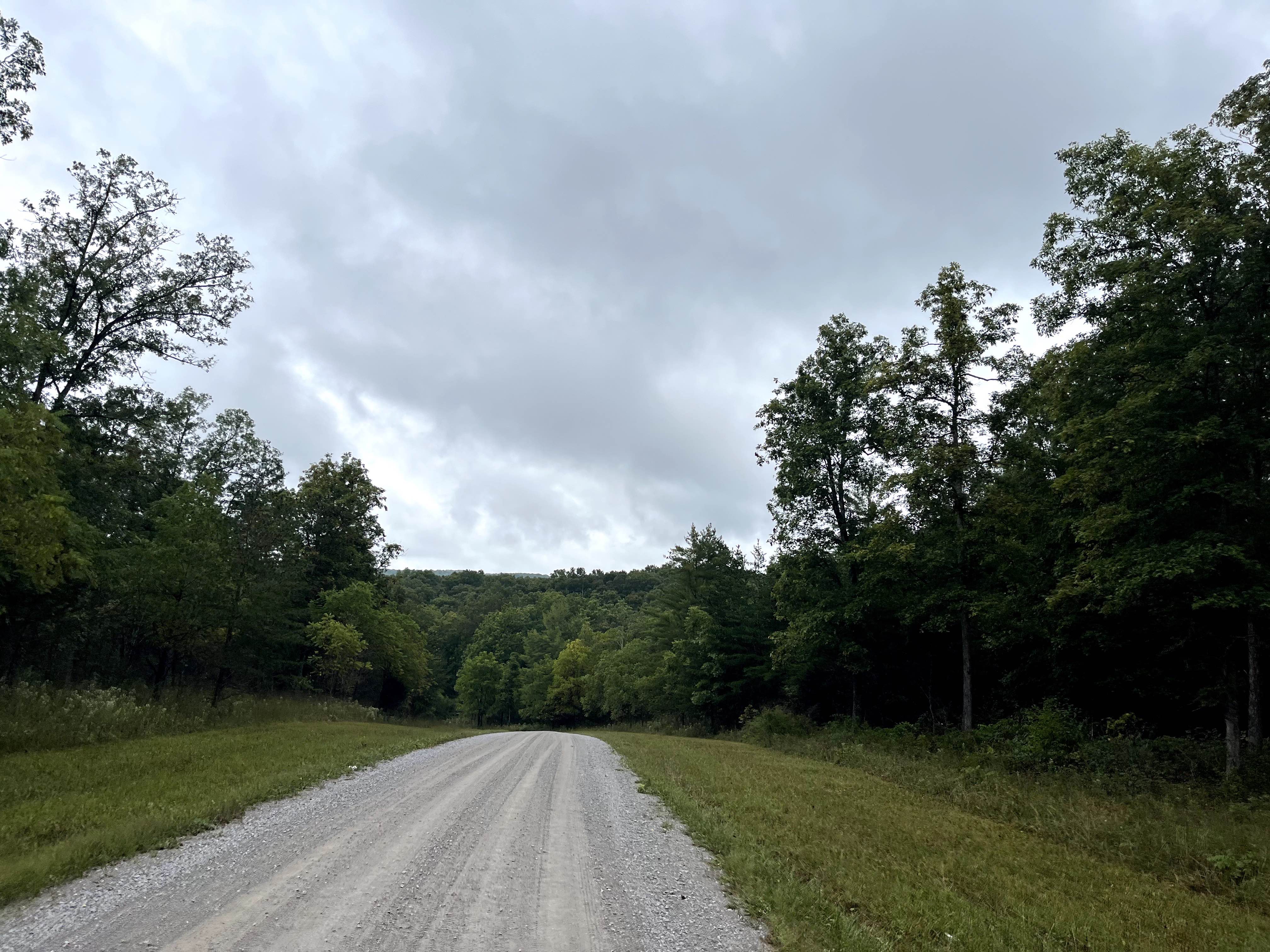
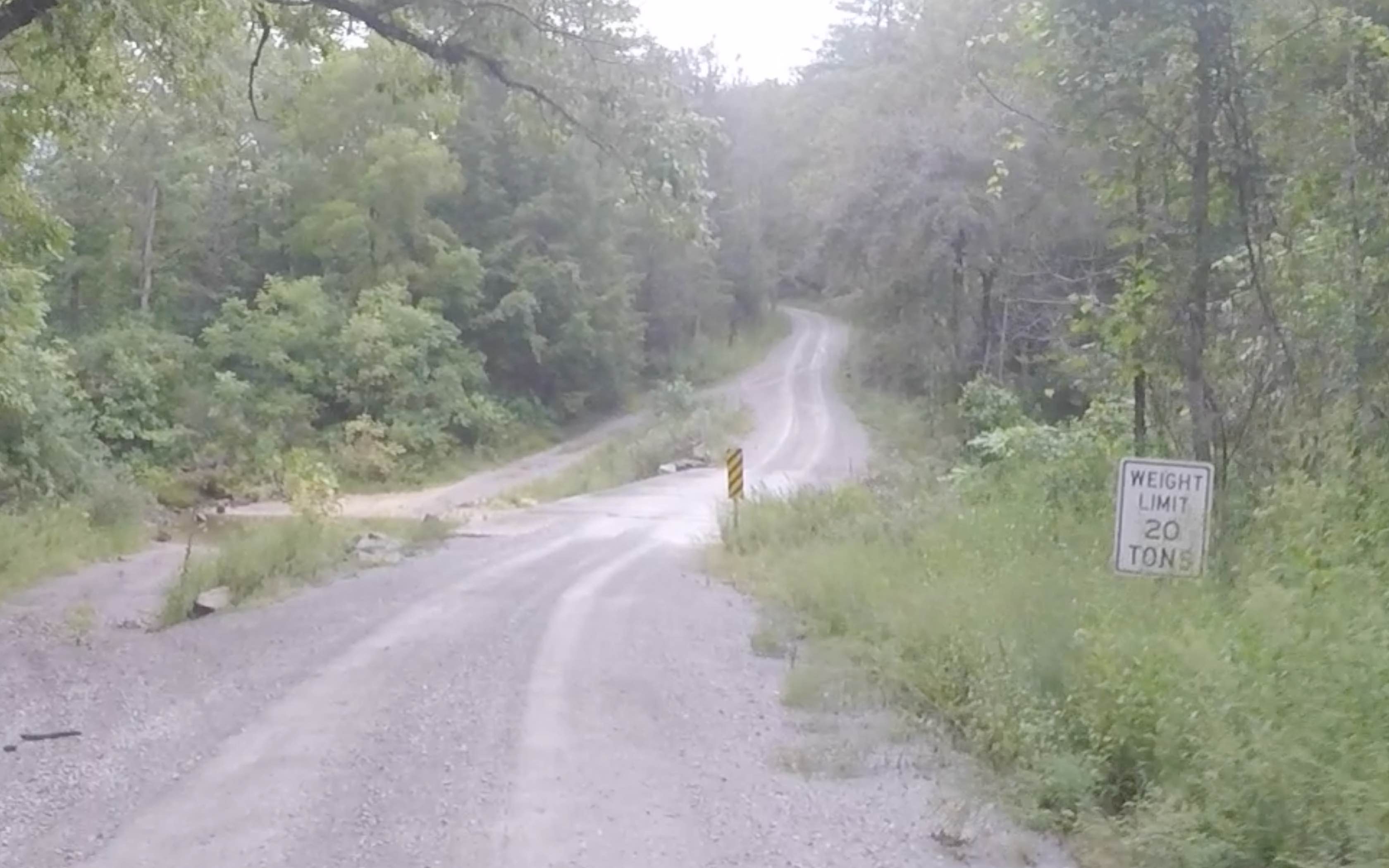
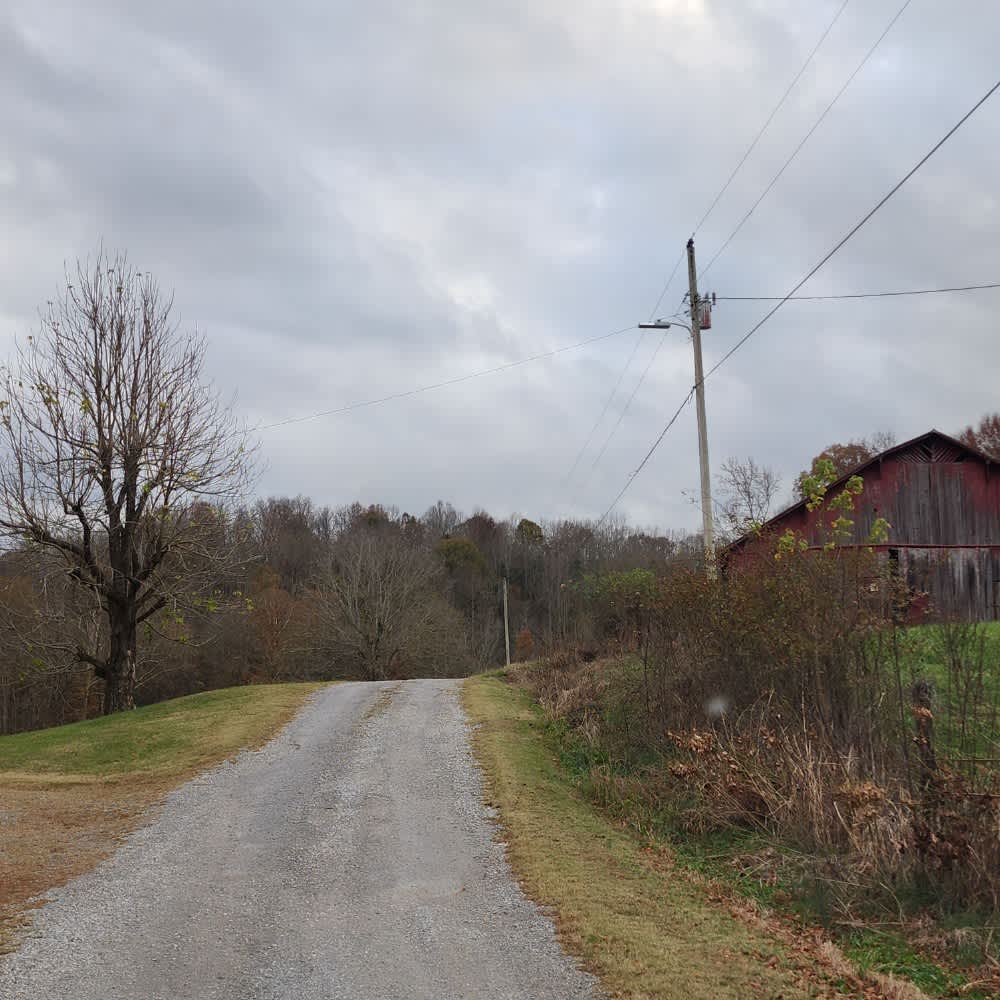
Trail Overview
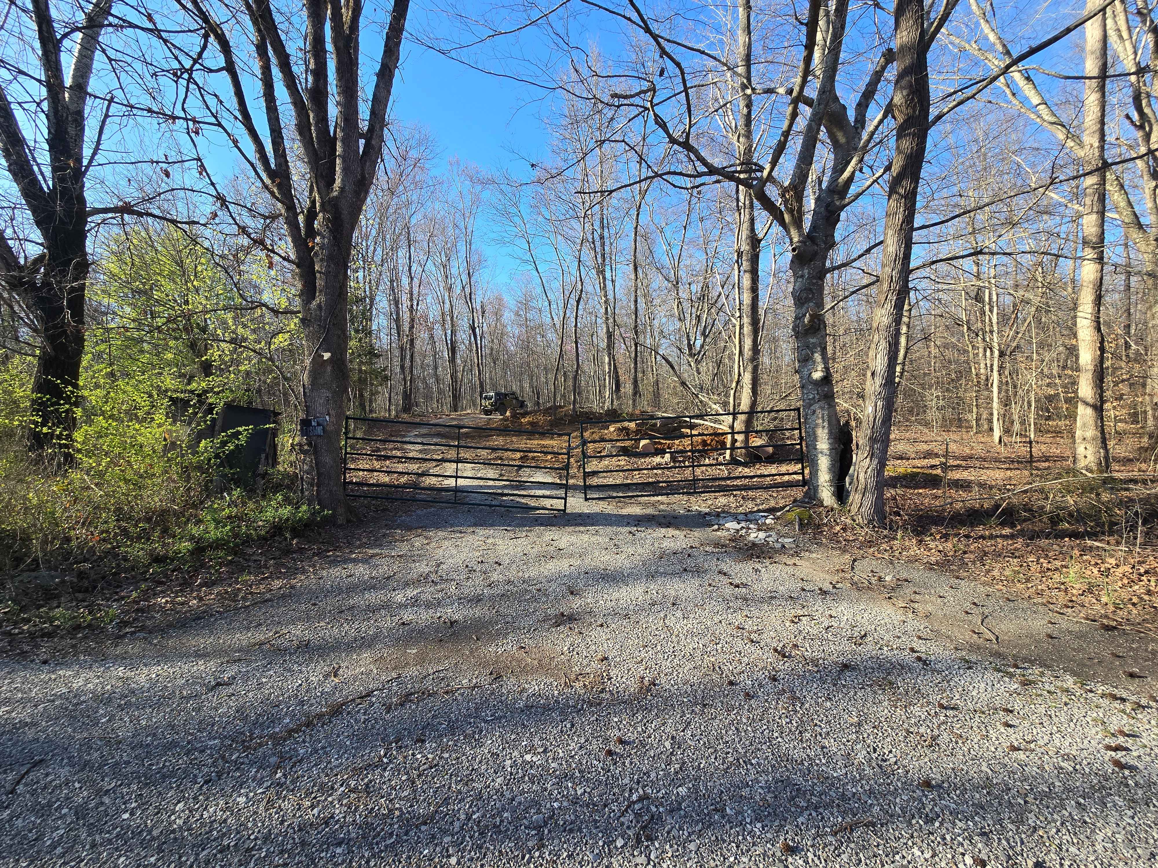
Hebbertburg Road is a well-maintained gravel road. However, at the end of the road, you'll come across a historic decommissioned bridge--a fascinating glimpse into the past. There is a creek crossing to get to Otter Creek Road on the other side. Just use best judgment, especially after heavy rains when the water is high. Daddy's Creek itself is another highlight, with its towering rock walls and prime fishing spots. Though the bridge is out, a water crossing has been established, allowing you to continue to the other side and connect with Hebbertburg Road.
Photos of Hebbertburg Road
Difficulty
Well-maintained gravel road until you get to the creek crossing. The creek crossing can vary in difficulty depending on the water level. Use caution.
History
According to TWRA. Catoosa WMA's history reflects the Cumberland Plateau's shift from natural habitats to industrial exploitation and back to conservation, with its origins as ancestral hunting grounds, later becoming a center for logging and coal mining. Following devastation by a 1929 flood and subsequent economic decline, the state began acquiring the land in the 1940s to establish the area as a wildlife and state forest. Today, the ~82,000-acre area is managed by the Tennessee Wildlife Resources Agency (TWRA) to restore ecosystems like oak savannas and protect native wildlife, which is a return to its ecological roots before human intervention.
Status Reports
Hebbertburg Road can be accessed by the following ride types:
- High-Clearance 4x4
- SUV
- SxS (60")
Hebbertburg Road Map
Popular Trails
Puncheon Creek Road - Macon County Tour
G58 - Cambria Hollow

GMP Pavilion Road 1
The onX Offroad Difference
onX Offroad combines trail photos, descriptions, difficulty ratings, width restrictions, seasonality, and more in a user-friendly interface. Available on all devices, with offline access and full compatibility with CarPlay and Android Auto. Discover what you’re missing today!