S8 Road
Total Miles
4.2
Technical Rating
Best Time
Spring, Summer, Fall, Winter
Trail Type
Full-Width Road
Accessible By
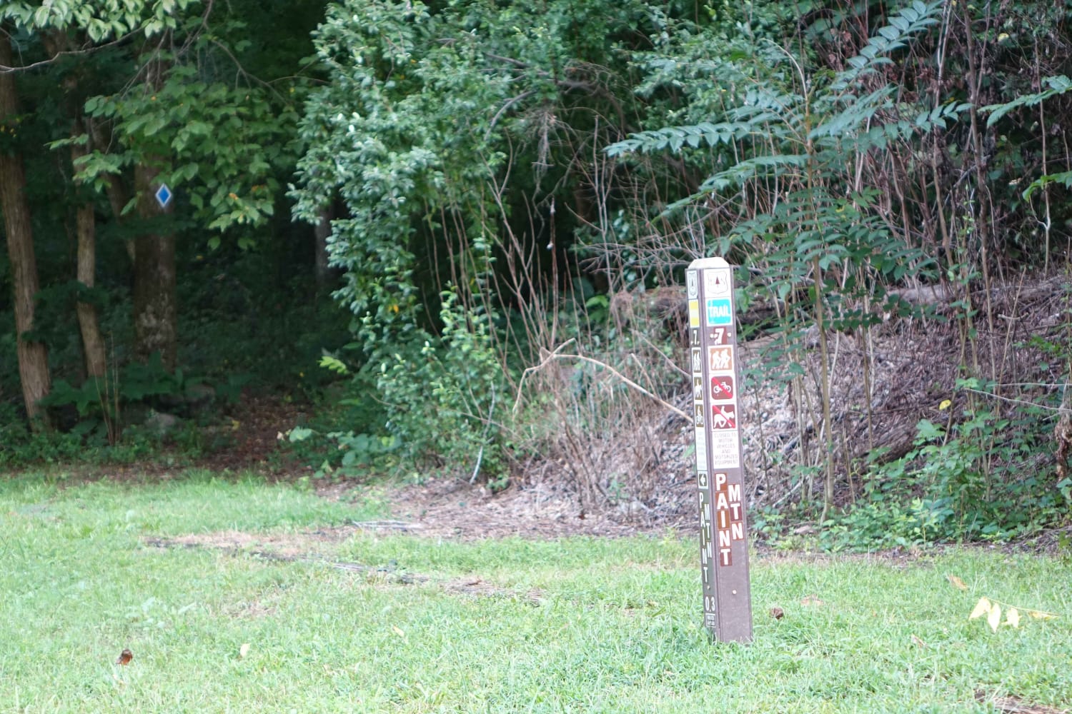
Trail Overview
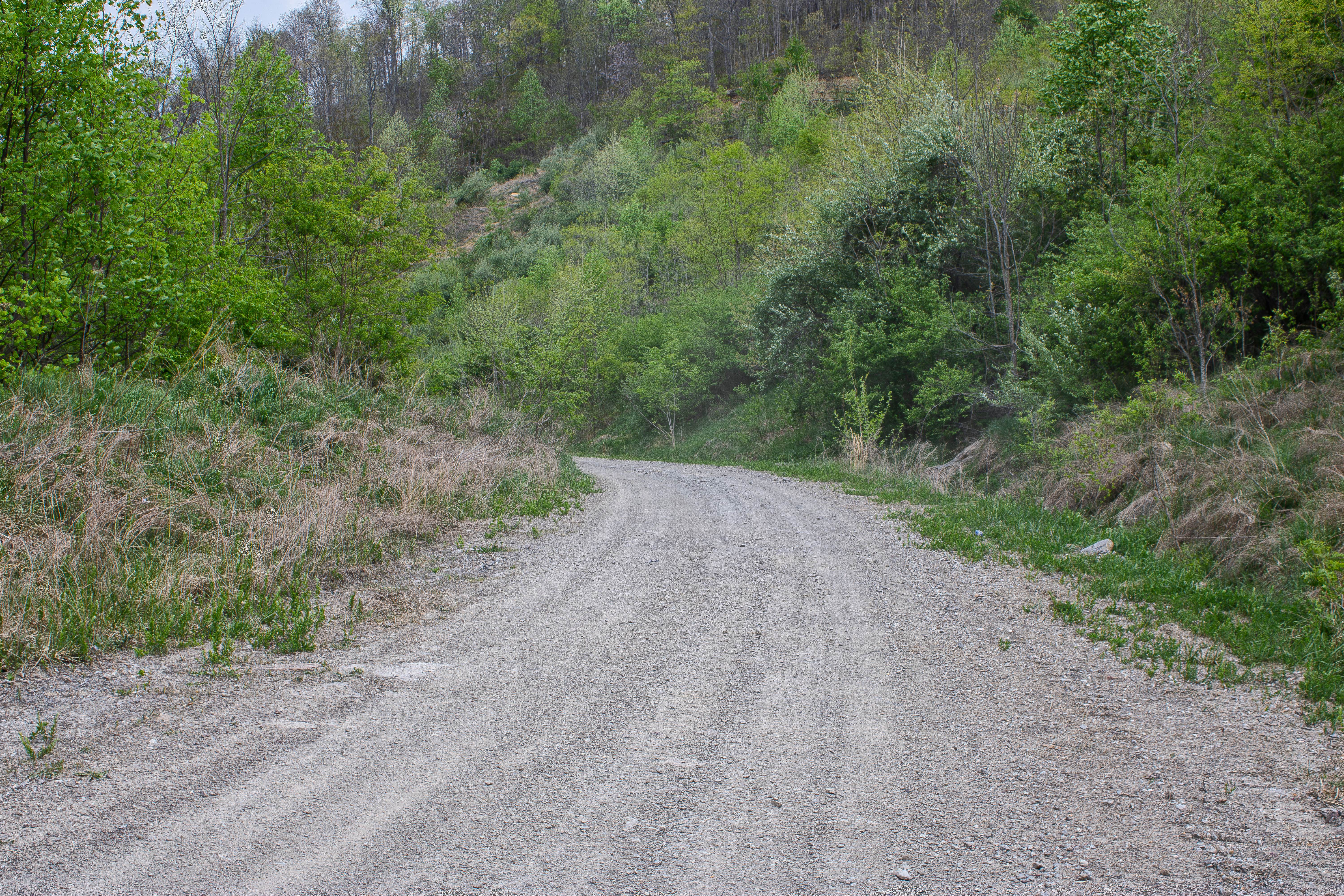
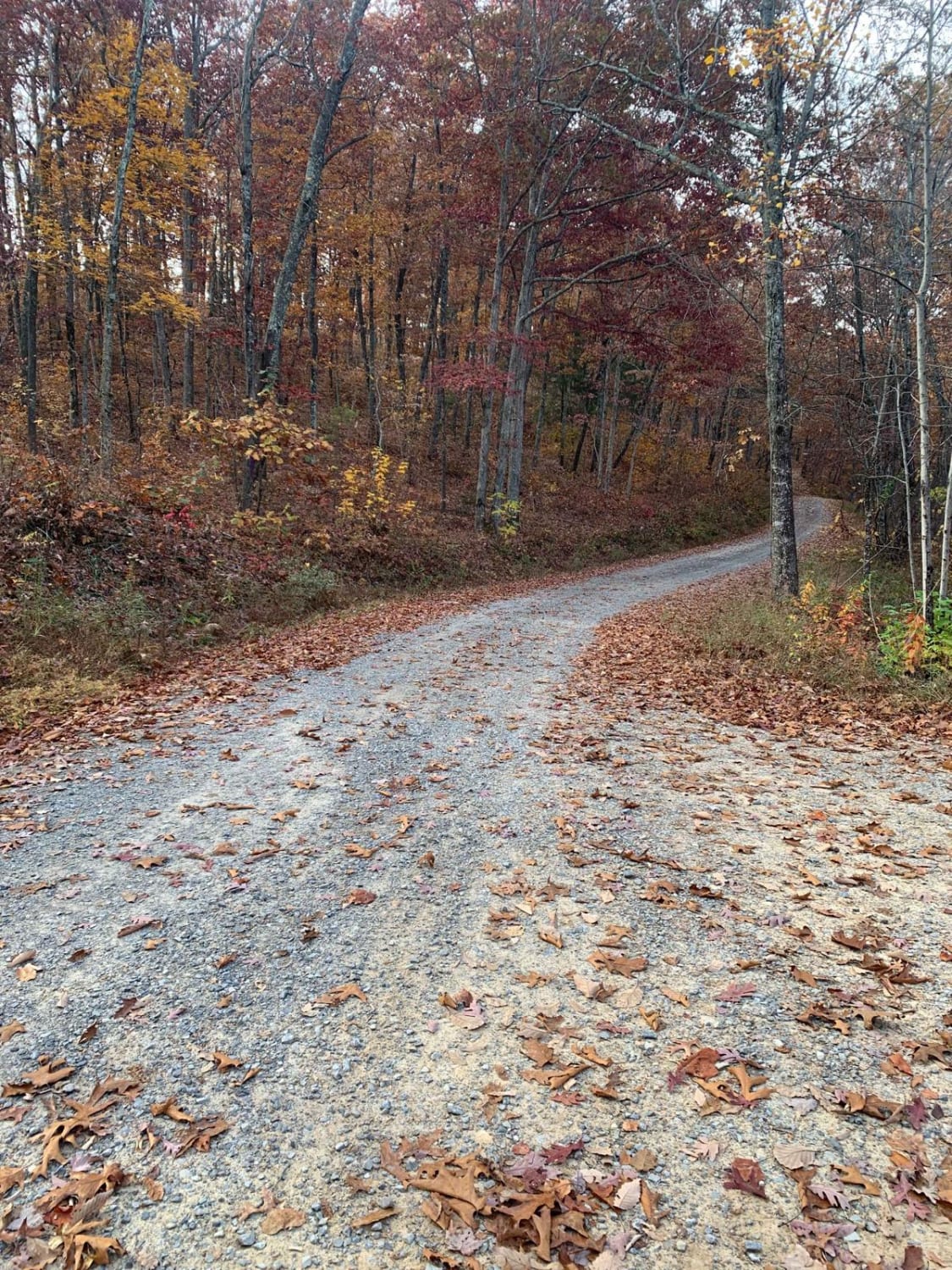
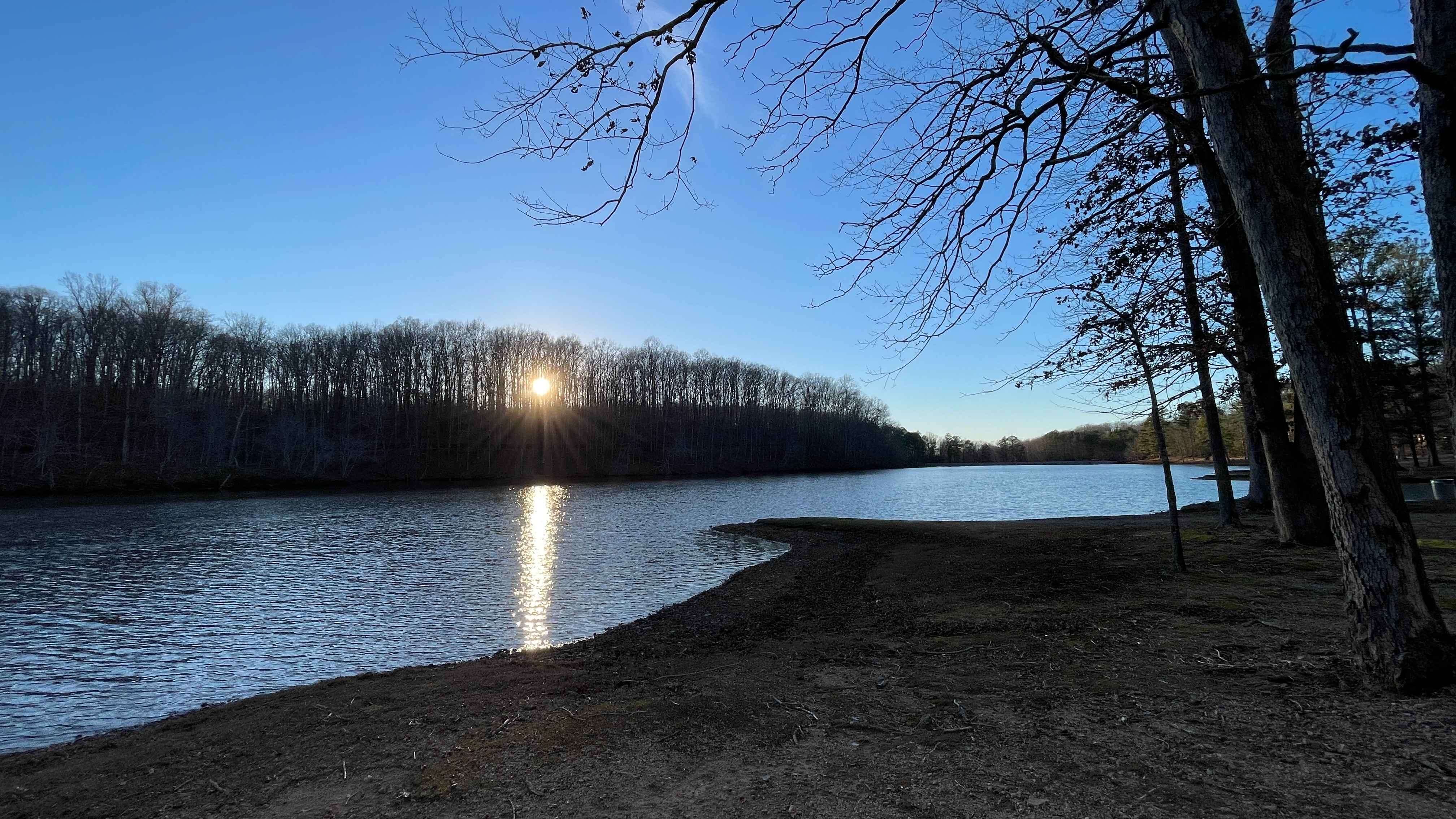
S8 Road is a two-way gravel trail that begins where Coal Haul Road 1 and SWG1 connect. This is a wide, easy road with several places to pull off and take in the surrounding area. Along the route, you can view old ponds that were once used during coal mining operations when the mines were active. The road has a more open feel than some of the tighter dirt trails nearby, making it a good connector for larger vehicles or groups traveling through the area. The road works its way around toward the old main mine area. Once there, you will find a large pond that was used as a water source during the mining operation. From this area, you can also look up the side of the mountain and see where rock was stripped away during coal mining. This makes S8 Road more than just a connector trail, as it gives drivers a chance to see some of the area's mining history up close. There is a large open area near the old mine where vehicles can park and explore. This is a good place to stop, take photos, walk around, and enjoy the scenery before continuing. The start of S8 Trail is located at the far end of this open area, making S8 Road an important route for accessing the surrounding trail system.
Photos of S8 Road
Difficulty
The road is primarily gravel, wide enough for easy travel, and has several places to pull off. There are no major obstacles described, but drivers should still expect normal gravel-road conditions, possible loose rock, shallow ruts, and changing surface conditions after rain. Most high-clearance 2WD vehicles should be able to travel this road in good weather, while 4WD is recommended when conditions are wet or if continuing onto nearby dirt trails.
History
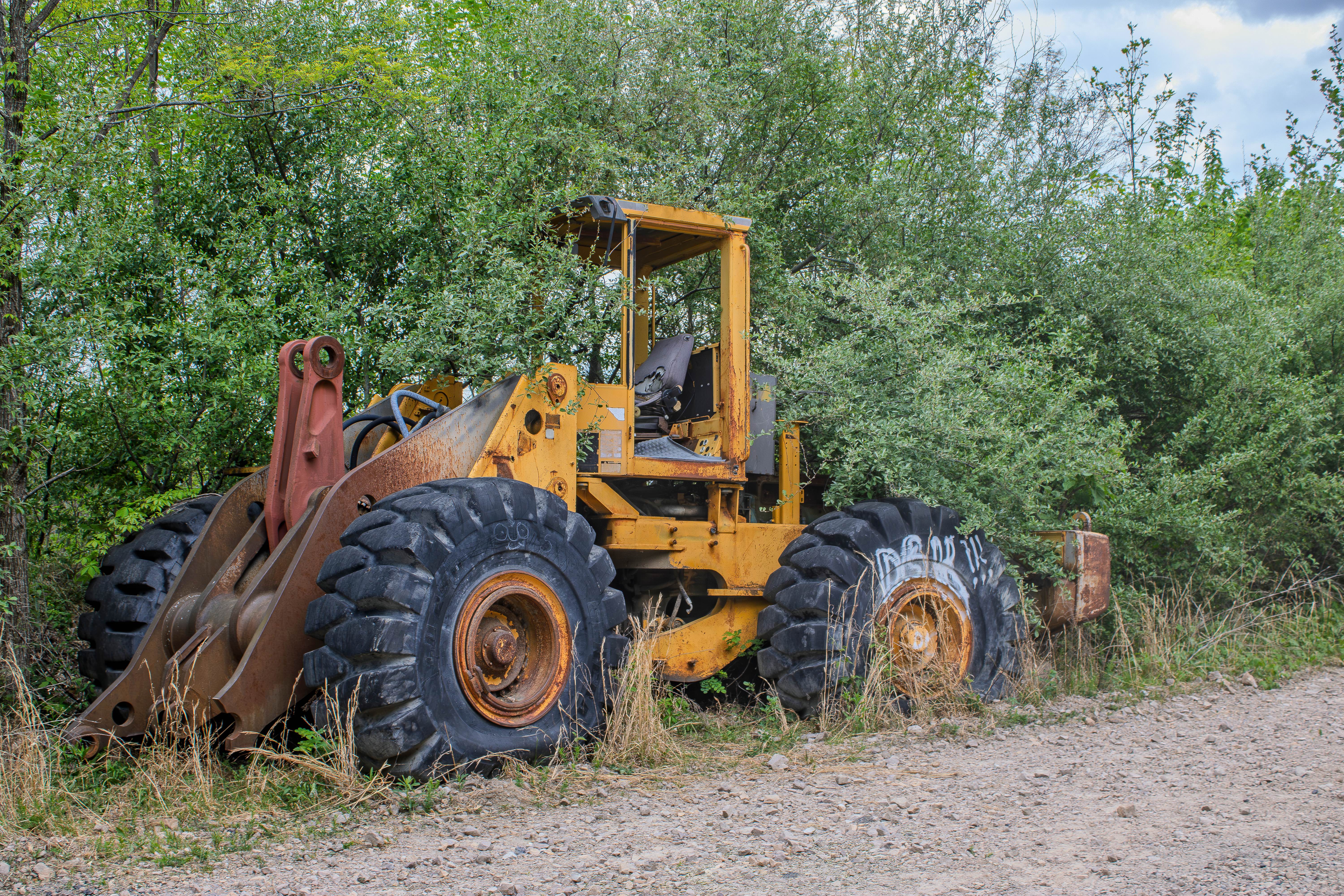
This trail travels through part of the historic Rosedale and New River coal mining area of East Tennessee. The surrounding communities of Rosedale, Devonia, Coal Creek, Beech Grove, and Briceville were once closely tied to coal mining, with many local roads, rail lines, ponds, and cleared areas connected to mining operations. The nearby Big Mary coal seam was mined heavily in this region, including around Petros, Devonia, Rosedale, Turley, and Fork Ridge. As you travel through the area, you may still see signs of that history, including old coal scattered along the trail, large ponds that were likely tied to mining use, and cut areas along the mountain where coal and rock were removed. The New River corridor also carried coal by rail for many years, making this area an important part of the region's mining and transportation history. Visitors should enjoy the history from the trail, avoid entering old mine openings or unstable structures, and leave any historic remnants in place for others to see.
Status Reports
S8 Road can be accessed by the following ride types:
- High-Clearance 4x4
- SUV
- SxS (60")
- ATV (50")
- Dirt Bike
S8 Road Map
Popular Trails

Forest Service Road 401
Starr Mountain Road 220
The onX Offroad Difference
onX Offroad combines trail photos, descriptions, difficulty ratings, width restrictions, seasonality, and more in a user-friendly interface. Available on all devices, with offline access and full compatibility with CarPlay and Android Auto. Discover what you’re missing today!