Off-Road Trails in Tennessee
Discover off-road trails in Tennessee
Learn more about Sneed Hollow Road
Sneed Hollow Road
Total Miles
2.1
Tech Rating
Easy
Best Time
Spring, Fall
Learn more about South Lick Creek Road
South Lick Creek Road
Total Miles
2.4
Tech Rating
Easy
Best Time
Fall, Spring, Summer
Learn more about Spring Creek - FSR 27
Spring Creek - FSR 27
Total Miles
5.1
Tech Rating
Easy
Best Time
Spring, Summer, Fall, Winter
Learn more about Spring Hollow Road - Macon County Tour
Spring Hollow Road - Macon County Tour
Total Miles
1.1
Tech Rating
Easy
Best Time
Spring, Fall
Learn more about Starr Mountain Road 220
Starr Mountain Road 220
Total Miles
5.8
Tech Rating
Easy
Best Time
Fall, Winter
Learn more about Starr Mountain Road 297
Starr Mountain Road 297
Total Miles
6.5
Tech Rating
Easy
Best Time
Fall
Learn more about Stell Branch Trail - Trail 11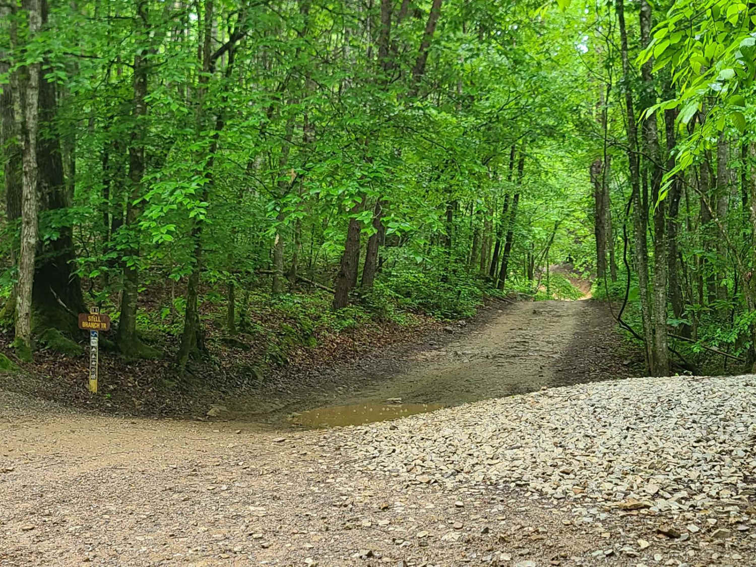
Stell Branch Trail - Trail 11
Total Miles
1.3
Tech Rating
Moderate
Best Time
Spring, Summer, Fall
Learn more about Sulfer Branch Road
Sulfer Branch Road
Total Miles
2.2
Tech Rating
Easy
Best Time
Summer, Winter, Fall, Spring
Learn more about Sullivan Hollow Road - Macon County Tour
Sullivan Hollow Road - Macon County Tour
Total Miles
2.2
Tech Rating
Easy
Best Time
Spring, Summer, Fall
Learn more about Tackett Creek / McLean Rock
Tackett Creek / McLean Rock
Total Miles
33.4
Tech Rating
Moderate
Best Time
Spring, Summer, Fall, Winter
Learn more about Tharpe Hollow - FS 384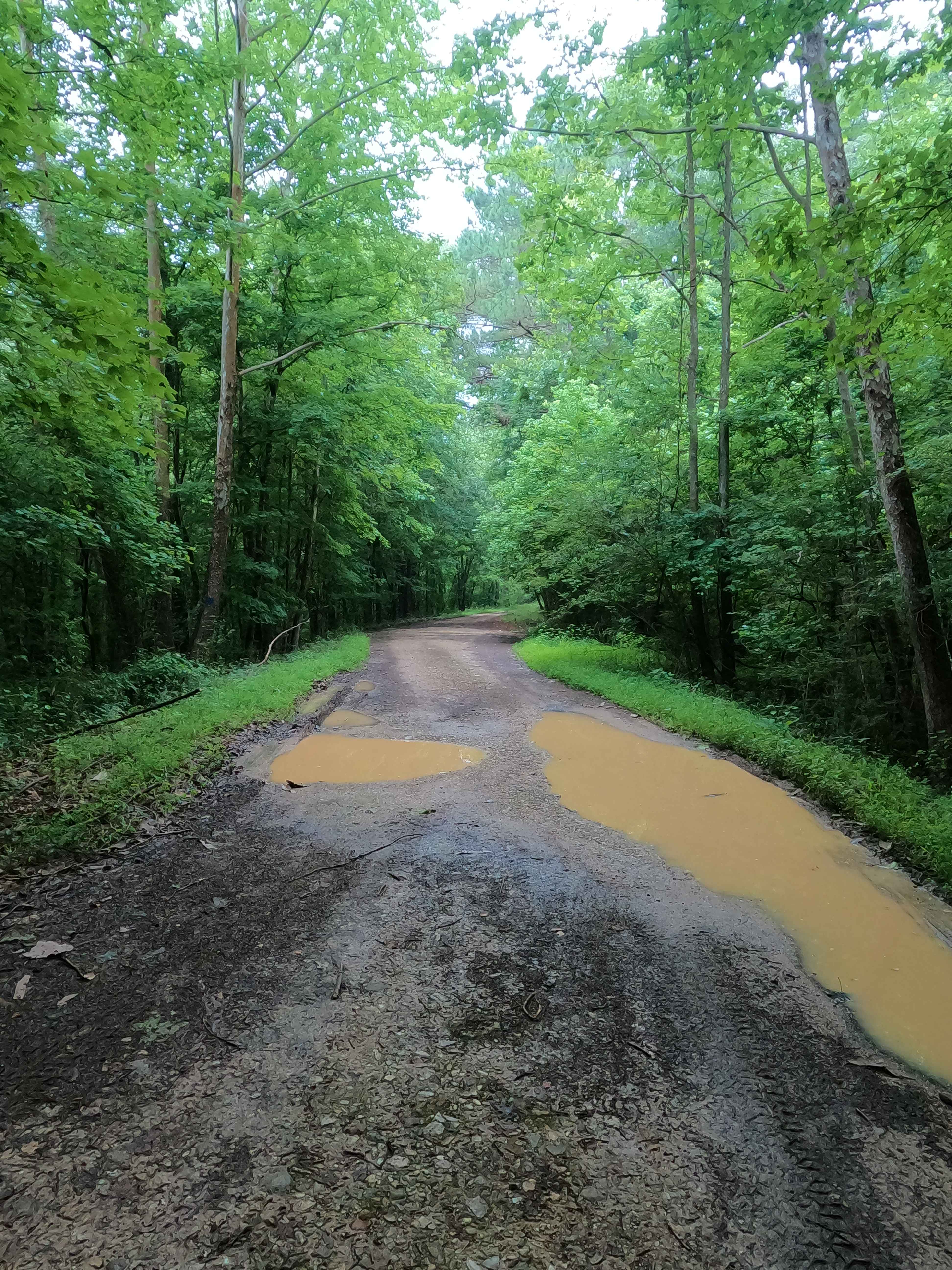
Tharpe Hollow - FS 384
Total Miles
1.0
Tech Rating
Easy
Best Time
Spring, Summer, Fall, Winter
Learn more about Tharpe Road FSR 221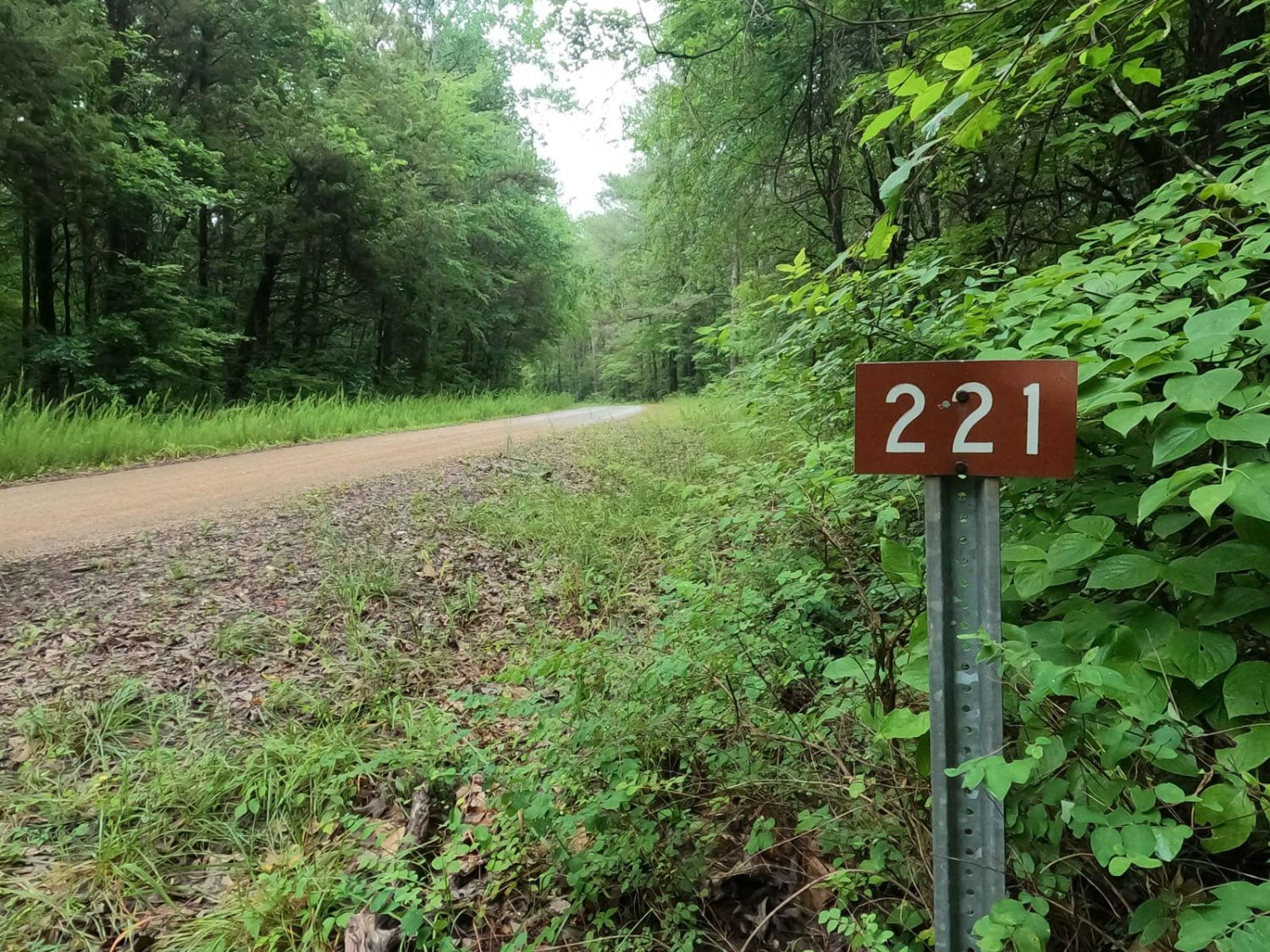
Tharpe Road FSR 221
Total Miles
4.5
Tech Rating
Easy
Best Time
Spring, Summer, Fall, Winter
Learn more about The Beauty Spot 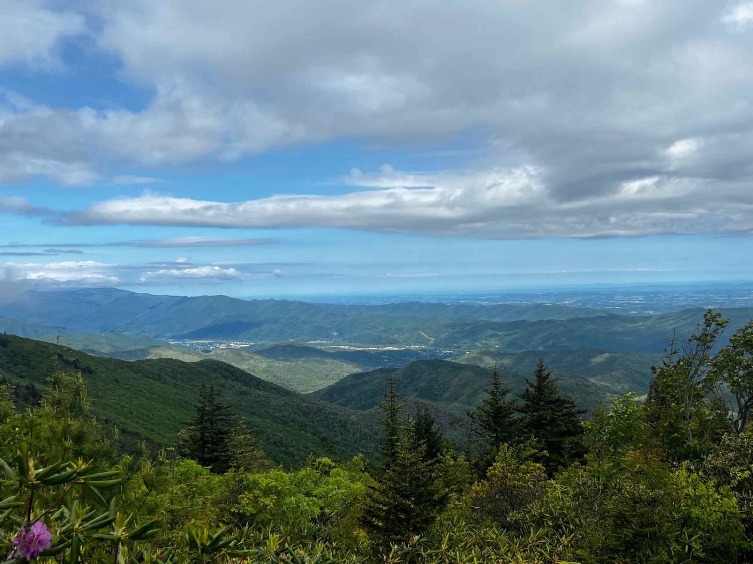
The Beauty Spot
Total Miles
9.9
Tech Rating
Easy
Best Time
Spring, Summer, Fall

Learn more about Titus Hollow Road
Titus Hollow Road
Total Miles
2.1
Tech Rating
Easy
Best Time
Winter, Fall, Summer, Spring
Learn more about Tooley Branch Road
Tooley Branch Road
Total Miles
2.2
Tech Rating
Easy
Best Time
Spring, Fall, Summer
ATV trails in Tennessee
Learn more about 1 - Launchpad
1 - Launchpad
Total Miles
1.2
Tech Rating
Easy
Best Time
Spring, Summer, Fall, Winter
Learn more about 11 - Ground Control
11 - Ground Control
Total Miles
0.3
Tech Rating
Easy
Best Time
Spring, Summer, Fall, Winter
UTV/side-by-side trails in Tennessee
Learn more about 1 - Launchpad
1 - Launchpad
Total Miles
1.2
Tech Rating
Easy
Best Time
Spring, Summer, Fall, Winter
Learn more about 11 - Ground Control
11 - Ground Control
Total Miles
0.3
Tech Rating
Easy
Best Time
Spring, Summer, Fall, Winter
The onX Offroad Difference
onX Offroad combines trail photos, descriptions, difficulty ratings, width restrictions, seasonality, and more in a user-friendly interface. Available on all devices, with offline access and full compatibility with CarPlay and Android Auto. Discover what you’re missing today!