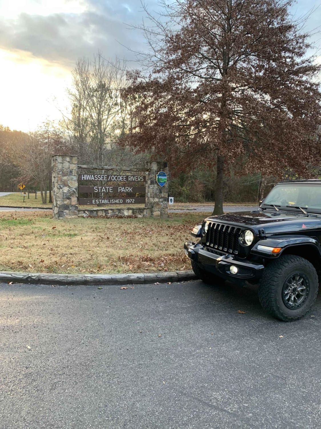
Spring Creek - FSR 27
Total Miles
5.1
Technical Rating
Best Time
Spring, Summer, Fall, Winter
Trail Type
Full-Width Road
Accessible By
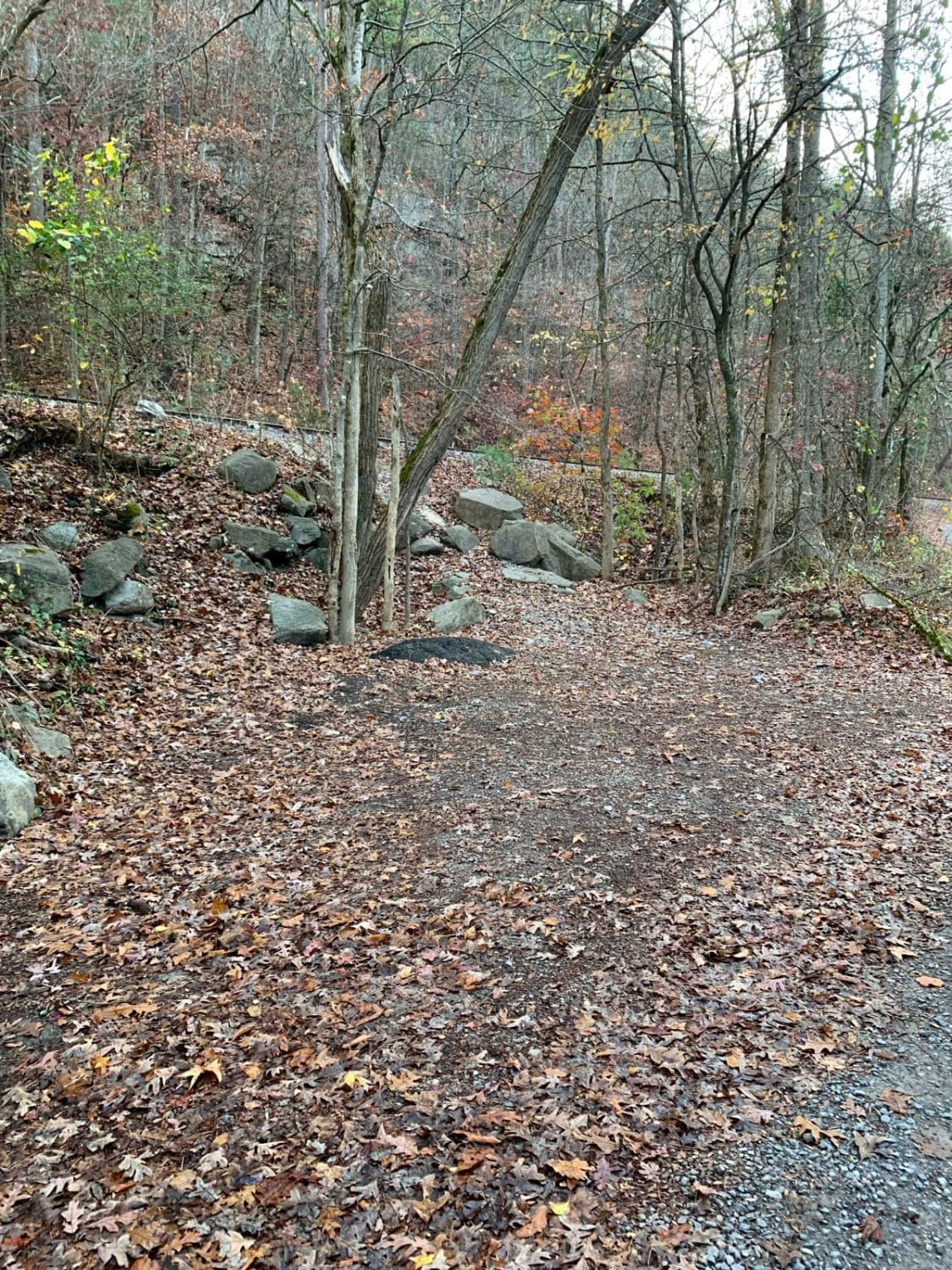
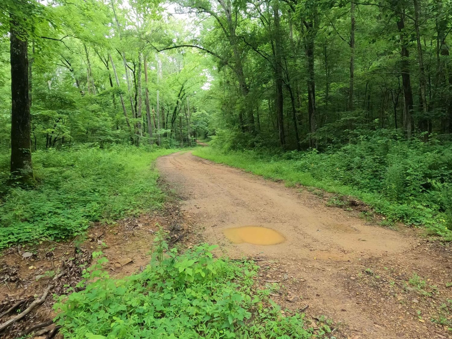
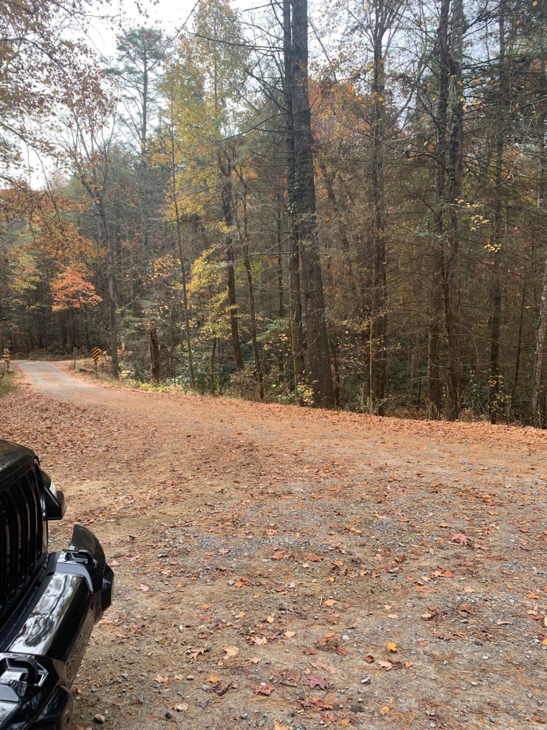
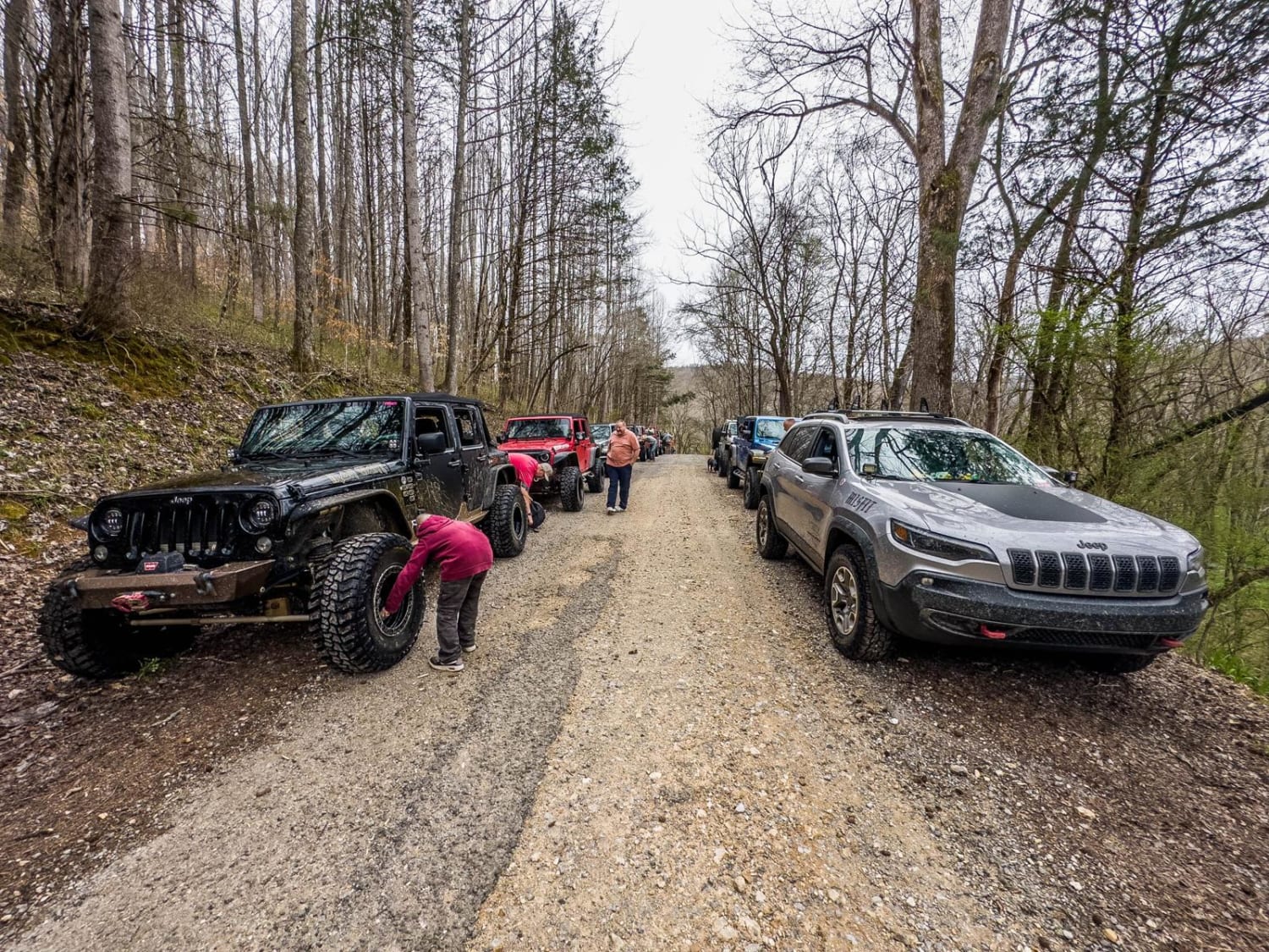
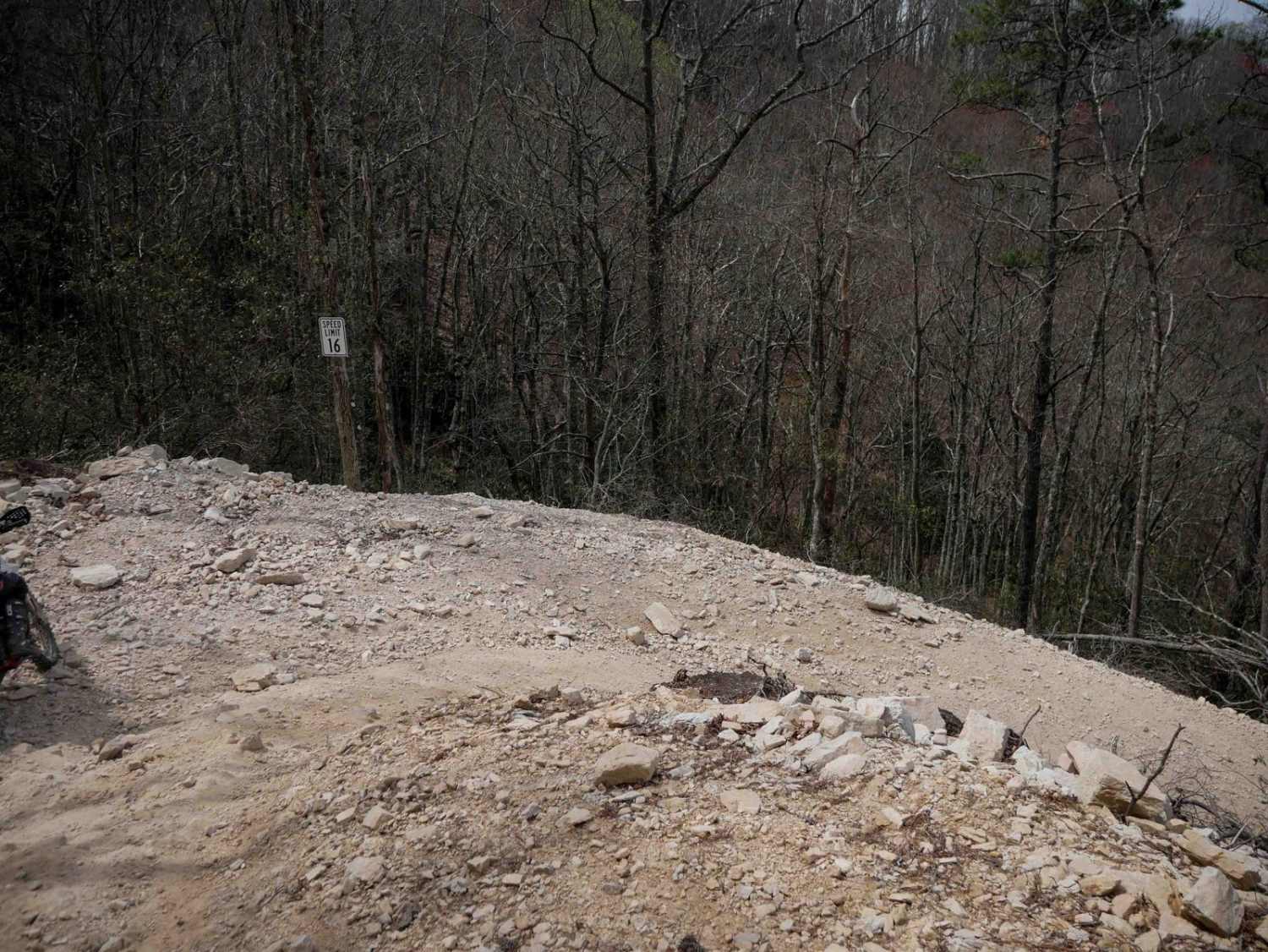
Trail Overview
This gravel road runs beside the Hiwassee River for the first 2.25 miles, which is stunning. At mile 1.25, there is a place to park for a hike to what some people call Lookout Rock. The hiking trail is not marked, but it is easy to follow the worn path that everyone has followed. Although this is a very steep and strenuous hike, it is a must-do if you are in this area. After you cross the railroad tracks, you will start following Spring Creek, which you will follow for the rest of this road. The entire road is gravel and easily drivable with any type of vehicle. There is cell service for pretty much the entire time (Verizon). There are several level places to pull off the road and disperse camp and there are also marked areas to camp. At about 4.5 miles in, there's a shooting range.
Photos of Spring Creek - FSR 27
Difficulty
There isn't anything difficult about this road.
Status Reports
Spring Creek - FSR 27 can be accessed by the following ride types:
- High-Clearance 4x4
- SUV
- SxS (60")
- ATV (50")
- Dirt Bike
Spring Creek - FSR 27 Map
Popular Trails
Crutcher Hollow Road FS 213
Bullet Creek Ellis Creek 44
The onX Offroad Difference
onX Offroad combines trail photos, descriptions, difficulty ratings, width restrictions, seasonality, and more in a user-friendly interface. Available on all devices, with offline access and full compatibility with CarPlay and Android Auto. Discover what you’re missing today!