22
Total Miles
2.1
Technical Rating
Best Time
Spring, Fall, Summer, Winter
Trail Type
60" Trail
Accessible By
Trail Overview
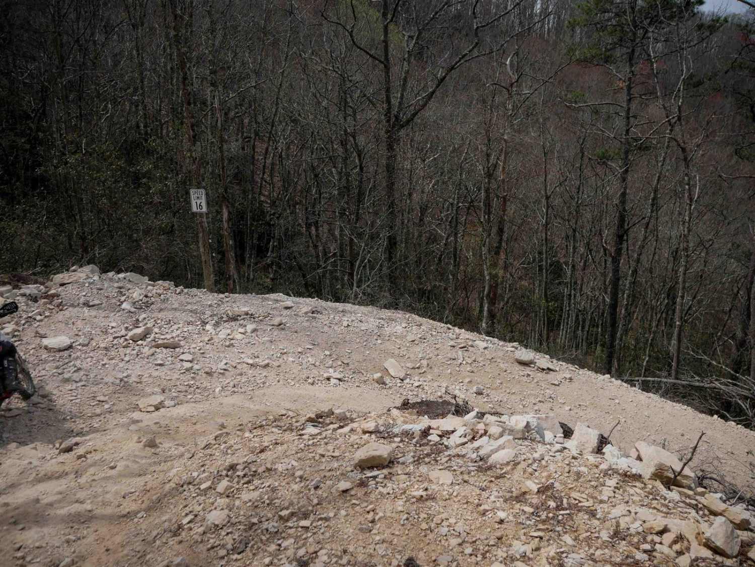
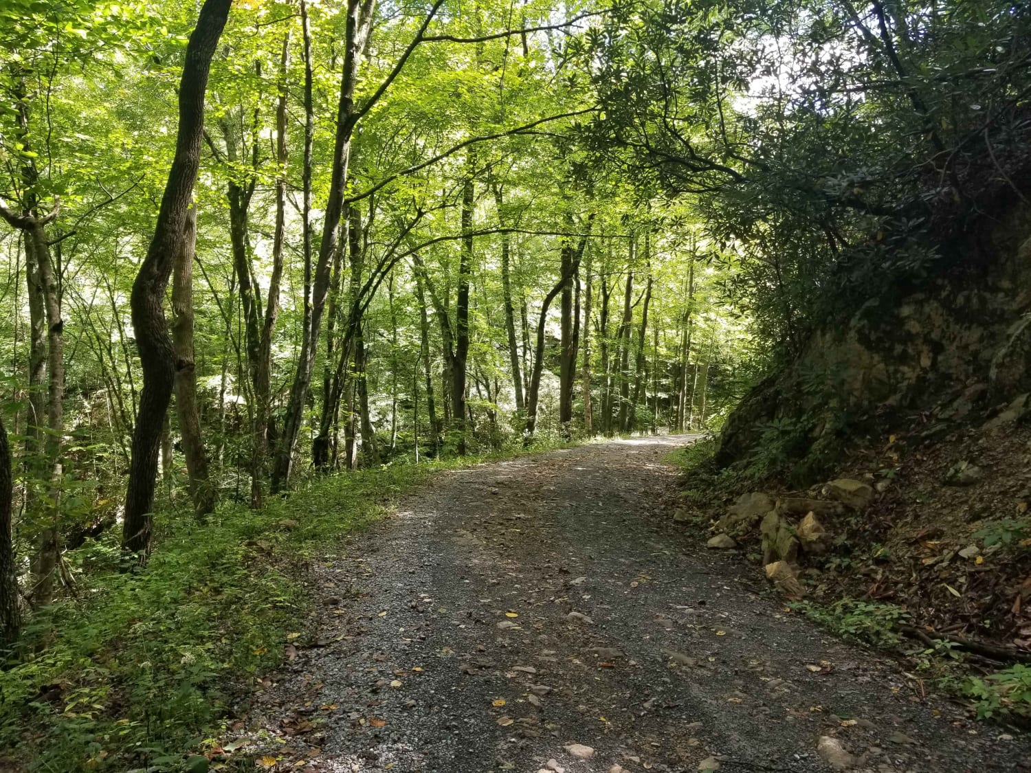
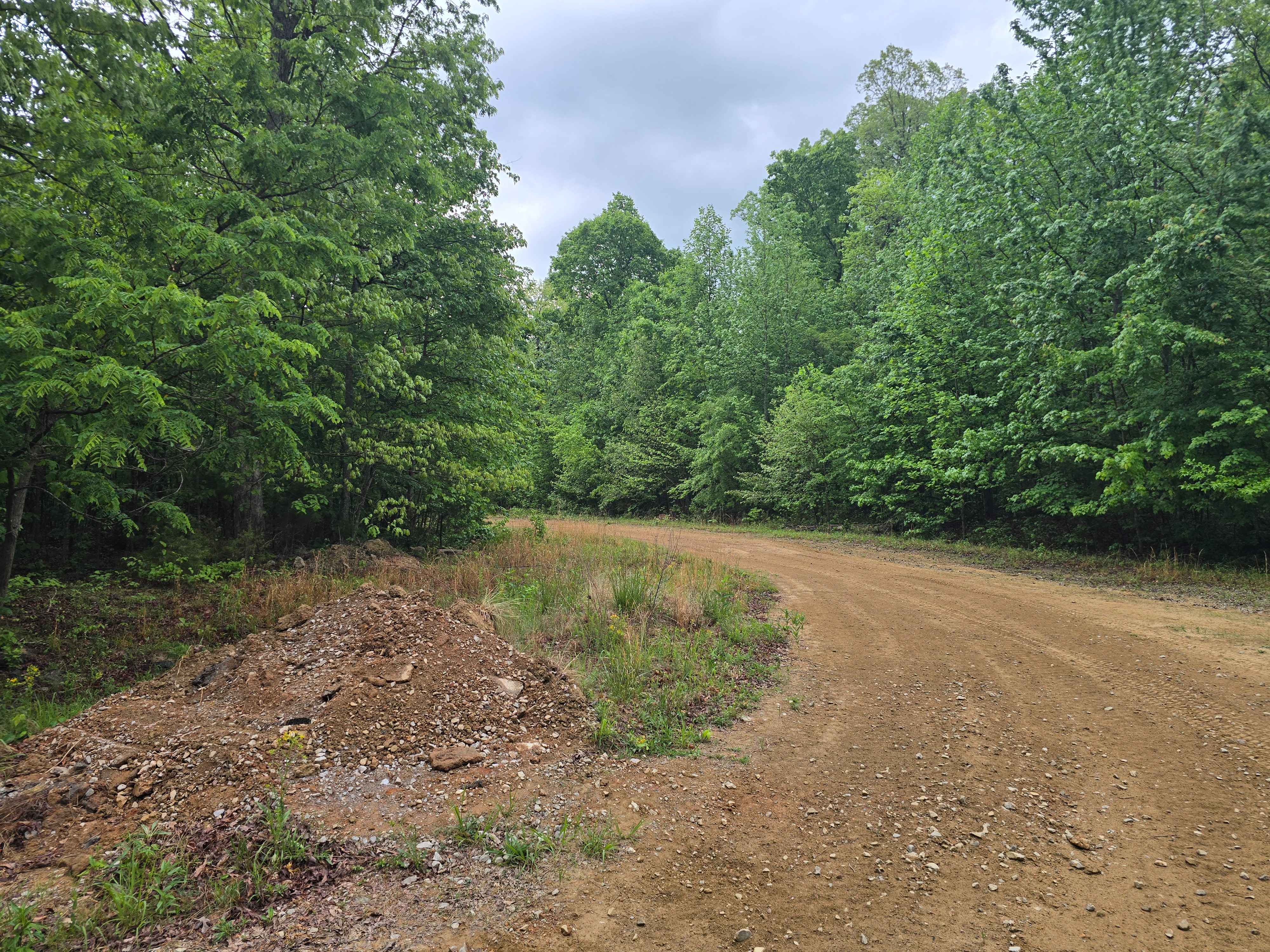
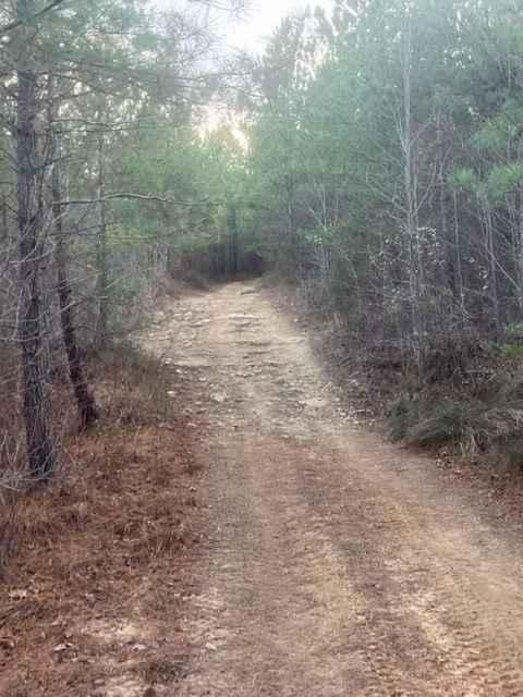
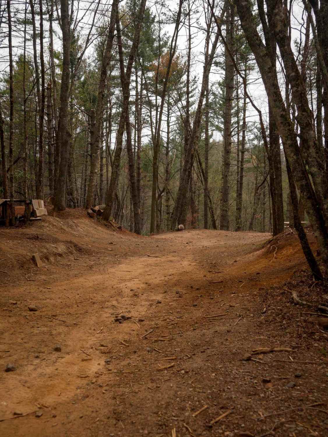
Trail 22 begins with a smooth, gradual climb from Trail 1 before rounding a blind corner into a series of descending switchbacks down the mountainside. Most turns are wide and manageable, though a few are steeper and tighter with loose rock and dirt under the tire. A wide shoulder on a couple of the bends gives riders room to maneuver. The trail offers scenic views of Little Doe Valley from the upper switchbacks. A "Danger Rocks" sign warns of large boulders near the edge of the trail, and caution is advised to avoid dislodging debris onto the switchback below you. Typically ridden as an out-and-back, the route ends at a gate marking the edge of DMRA property. A storm shelter is located at the bottom.
Photos of 22

Difficulty
This is an easy SXS trail with several sharper switchbacks, but the trail remains gradual and wide with few rocks the entire route.
Status Reports
22 can be accessed by the following ride types:
- SxS (60")
- ATV (50")
- Dirt Bike
22 Map
Popular Trails
Jacobs Creek
Coalmont OHV Trail 2 Green
The onX Offroad Difference
onX Offroad combines trail photos, descriptions, difficulty ratings, width restrictions, seasonality, and more in a user-friendly interface. Available on all devices, with offline access and full compatibility with CarPlay and Android Auto. Discover what you’re missing today!