Crutcher Hollow Road FS 213
Total Miles
2.5
Technical Rating
Best Time
Spring, Summer, Fall, Winter
Trail Type
Full-Width Road
Accessible By
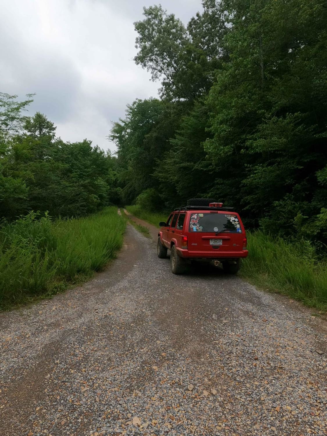
Trail Overview
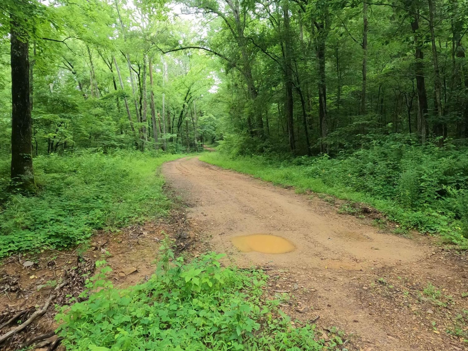
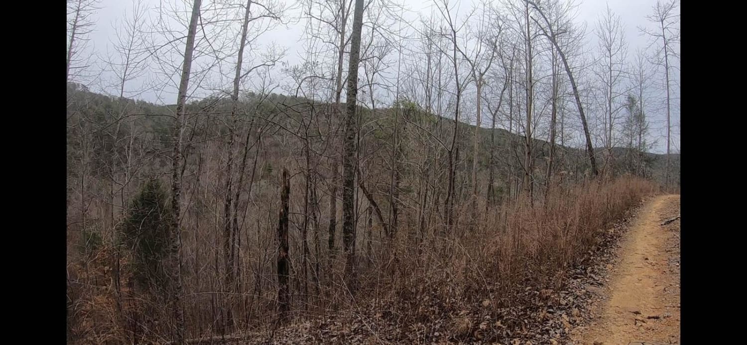
Crutcher Hollow Road FS 213 is a gravel forestry road through the southern Tennessee section, centrally located off the Woodlands Trace National Scenic Byway headed east to Lake Barkley, of Land Between the Lake National Recreation Area. The road starts just south of the Great Western Furnace, heading east off the Woodlands Trace towards Crutcher Hollow at Neville Bay on Lake Barkley. It is mostly simple. When headed west to east, the road slowly drops downhill, crossing several feeder creeks that ultimately feed into Neville Bay. These crossings can wash gravel to the point that the road ruts or turns to dirt, creating soft spots and small water collection holes, all with potential mud.
Photos of Crutcher Hollow Road FS 213
Difficulty
The difficulty of the FS 213 is near minimal, but it features just enough water channelizing that gravel washes and mild ruts form on the steep inclines. The water running downhill also begins to create some surface mud and water collection holes (3-6 inches deep) that brings this a little bit above a basic gravel road. That said, this trail is given a base rating of 2/10, but with a good mending it could drop back to a 1/10. With heavy rain or wet conditions, paired with some use, it could also elevate in difficulty.
History
Just north of the western end of the FSR 213 there is a historic iron smelter named the Great Western Furnace. Exact location is at 36.64063, -87.97550, parking lot and plaques are just south of the structure. In it's time it was one of eighteen such iron manufacturing centers in Stewart county Tennessee. The Great Western operated for just one 34-week period in 1855-56. During that time it produced 1,350 tons of high-quality iron. Several circumstances contributed to its short life. The furnace owners, William E. Newell and John H. Pritchett, were heavily in debt over the purchase of 9,957 acres of land, acquired for the ore and timber needed to produce iron. Mismanagement, limited sources for iron ore, and a nationwide economic recession all made the furnace a doomed enterprise. The Great Western Iron Works was offered for sale by its owners, December 20, 1856, in the Clarksville Jeffersonian newspaper. Info sourced from https://www.hmdb.org/m.asp?m=136753. Our most visible iron industry ruin, Great Western Furnace was constructed in 1854 by Brien, Newell and Company and closed in 1856. Due to its short period of operation, the furnace remains in good physical condition. It sits on The Trace south of the Homeplace and was 40 feet high inside. Its demise came due to a bad location, too remote for raw materials, slave insurrection limited labor force, and the profitable period for pig iron had passed. All of these factors caused the Great Western to cease operation. A town grew up around the furnace called Model. Info sourced from https://landbetweenthelakes.us/seendo/self-guided-activites/iron/
Status Reports
Crutcher Hollow Road FS 213 can be accessed by the following ride types:
- High-Clearance 4x4
- SUV
Crutcher Hollow Road FS 213 Map
Popular Trails

Joe Carter Way
East Sylco Ridge

Flatwoods Road

5 - Lifeform
The onX Offroad Difference
onX Offroad combines trail photos, descriptions, difficulty ratings, width restrictions, seasonality, and more in a user-friendly interface. Available on all devices, with offline access and full compatibility with CarPlay and Android Auto. Discover what you’re missing today!