Ginger Bay Road FS 205
Total Miles
2.7
Technical Rating
Best Time
Spring, Summer, Fall, Winter
Trail Type
Full-Width Road
Accessible By
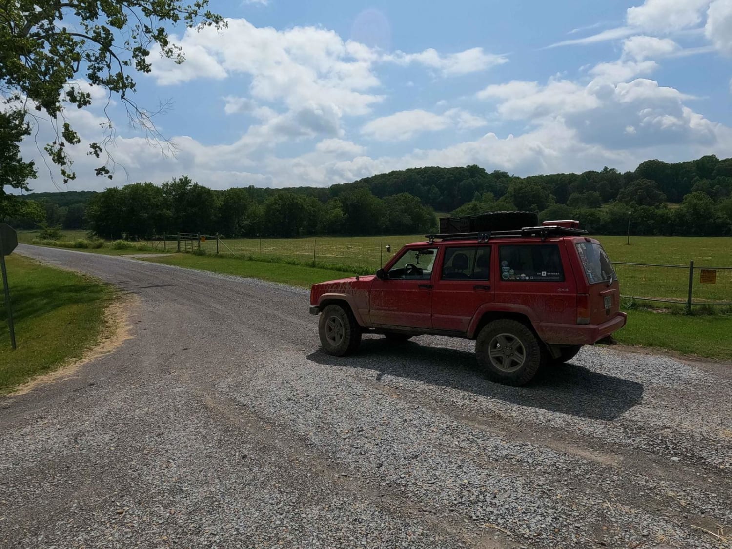
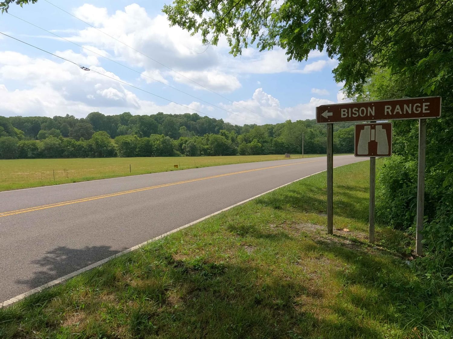
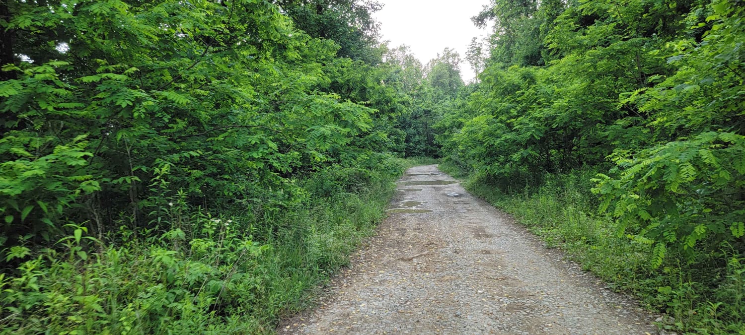
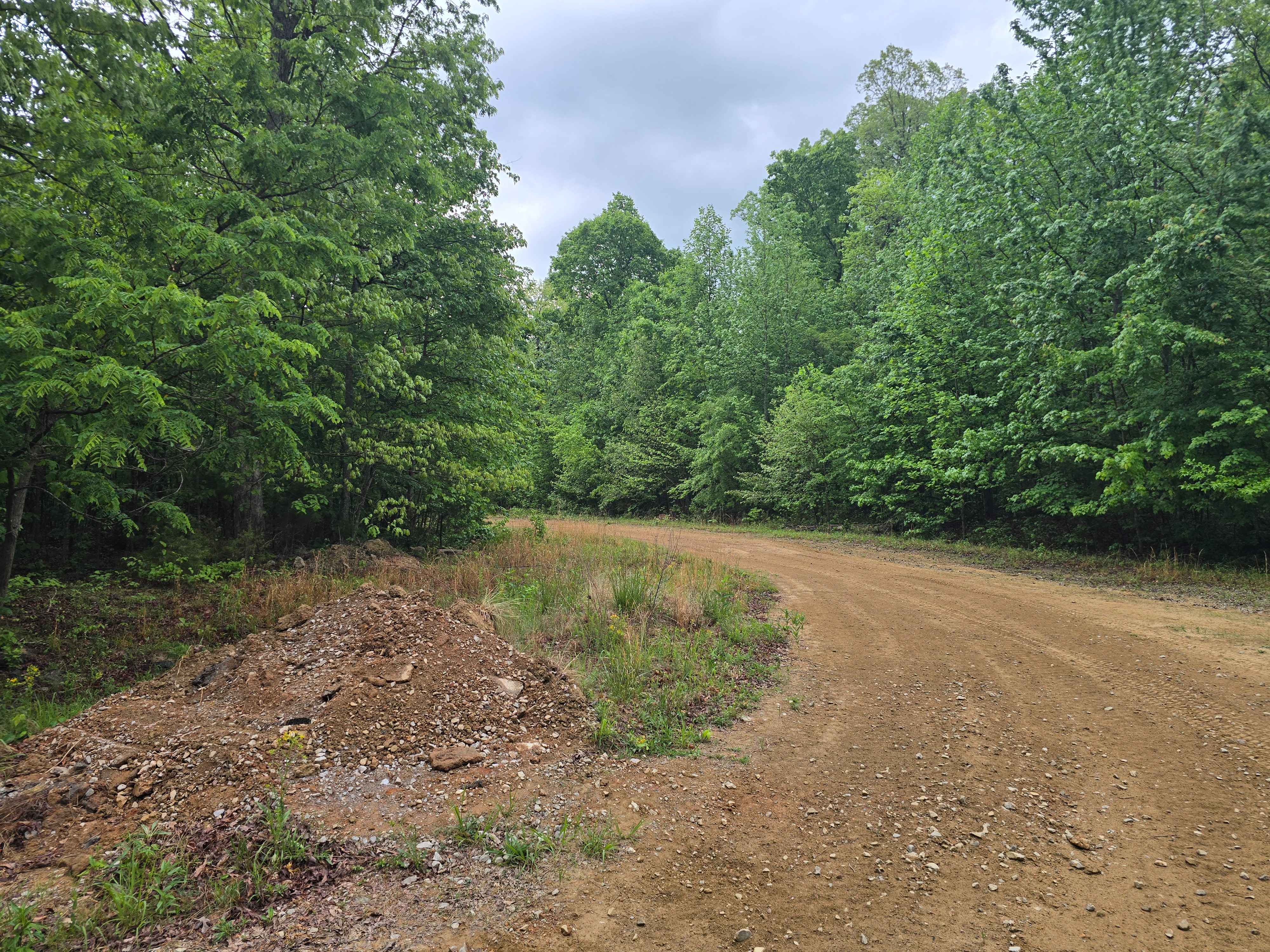
Trail Overview
Ginger Bay Road FS 205 is a gravel forestry road through the southern Tennessee section, centrally located heading west to the Kentucky Lake side of Land Between the Lake National Recreation Area. It is a generally smooth gravel road connecting from the east at the south Bison Range and the Woodland Trace Road, all the way over to the west where it ends at FS 206. FS 206 connects to other shoreline trails along Kentucky Lake, roughly at Clay Bay, Ginger Bay, and Rushing Bay. From east to west, the road features one mild hill climb to peak at the north/south LBL hiking trail, then drops down to meet the bottoms where several feeder creeks converge to feed into the Ginger Bay. In this section, you may meet soft and surface mud conditions.
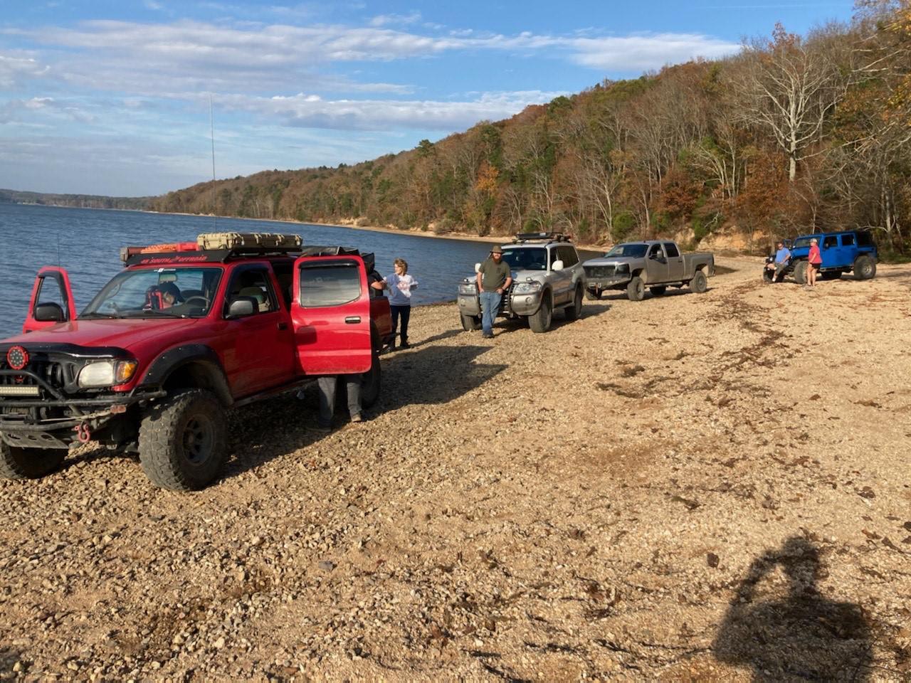
Photos of Ginger Bay Road FS 205
Difficulty
FS 205 is a minimum-difficulty road. Thanks to the obvious general maintenance this road receives, fresh gravel is apparent throughout sections that needed mending. The most you should expect from this road is the general gravel road problems of washboarding, potholes, and mounding. The only spot you may encounter more than the above is on the western end where the road parallels the feeder creeks that lead to Ginger Bay. Here the road had a few spots where the gravel faded to dirt and became soft, but it would take significant rain to change this. If left unmaintained, rain could create mild ruts and mud sections. All this said, this trail is given a 1/10 base rating for its simplicity and ease, but with heavy rain and wet conditions could be elevated to a 2/10 for muddy conditions on the western side of the road.
History
Just south of the eastern end of the FS 205, there is a historic iron smelter named the Great Western Furnace. The exact location is at 36.64063, -87.97550, and the parking lot and plaques are just south of the structure. In its time, it was one of eighteen such iron manufacturing centers in Stewart County, Tennessee. The Great Western operated for just one 34-week period in 1855-56. During that time, it produced 1,350 tons of high-quality iron. Several circumstances contributed to its short life. The furnace owners, William E. Newell and John H. Pritchett, were heavily in debt over the purchase of 9,957 acres of land, acquired for the ore and timber needed to produce iron. Mismanagement, limited sources of iron ore, and a nationwide economic recession all made the furnace a doomed enterprise. The Great Western Iron Works was offered for sale by its owners on December 20, 1856, in the Clarksville Jeffersonian newspaper. (Info sourced from https://www.hmdb.org/m.asp?m=136753.) Our most visible iron industry ruin, Great Western Furnace was constructed in 1854 by Brien, Newell and Company and closed in 1856. Due to its short period of operation, the furnace remains in good physical condition. It sits on The Trace south of the Homeplace and was 40 feet high inside. Its demise came due to a bad location, too remote for raw materials, slave insurrection, limited labor force, and the profitable period for pig iron had passed. All of these factors caused the Great Western to cease operation. A town grew up around the furnace called Model. (Info sourced from https://landbetweenthelakes.us/seendo/self-guided-activites/iron/.)
Status Reports
Ginger Bay Road FS 205 can be accessed by the following ride types:
- High-Clearance 4x4
- SUV
Ginger Bay Road FS 205 Map
Popular Trails
Pebble Beach

The onX Offroad Difference
onX Offroad combines trail photos, descriptions, difficulty ratings, width restrictions, seasonality, and more in a user-friendly interface. Available on all devices, with offline access and full compatibility with CarPlay and Android Auto. Discover what you’re missing today!