SWG 36
Total Miles
2.3
Technical Rating
Best Time
Spring, Summer, Fall, Winter
Trail Type
Full-Width Road
Accessible By
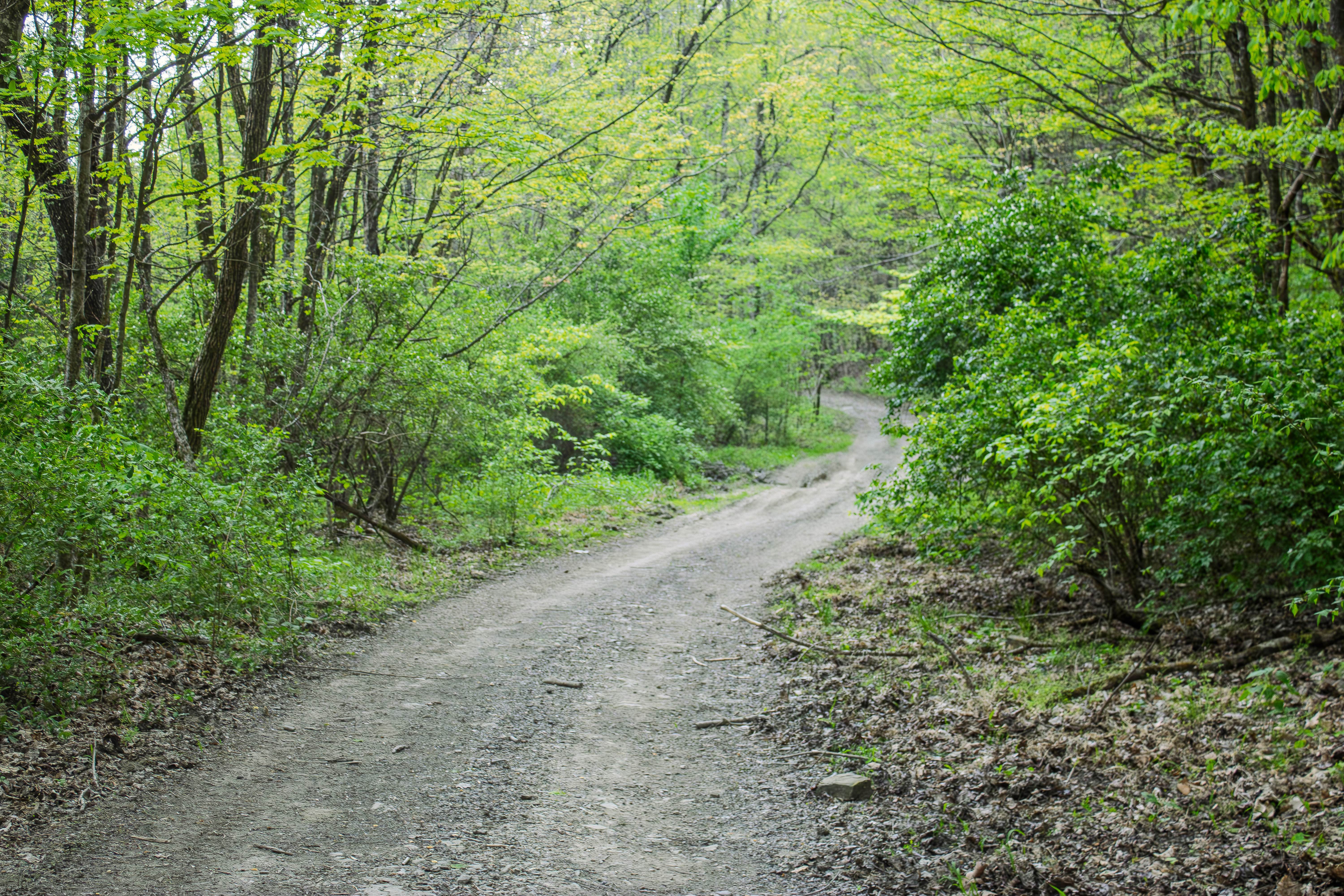
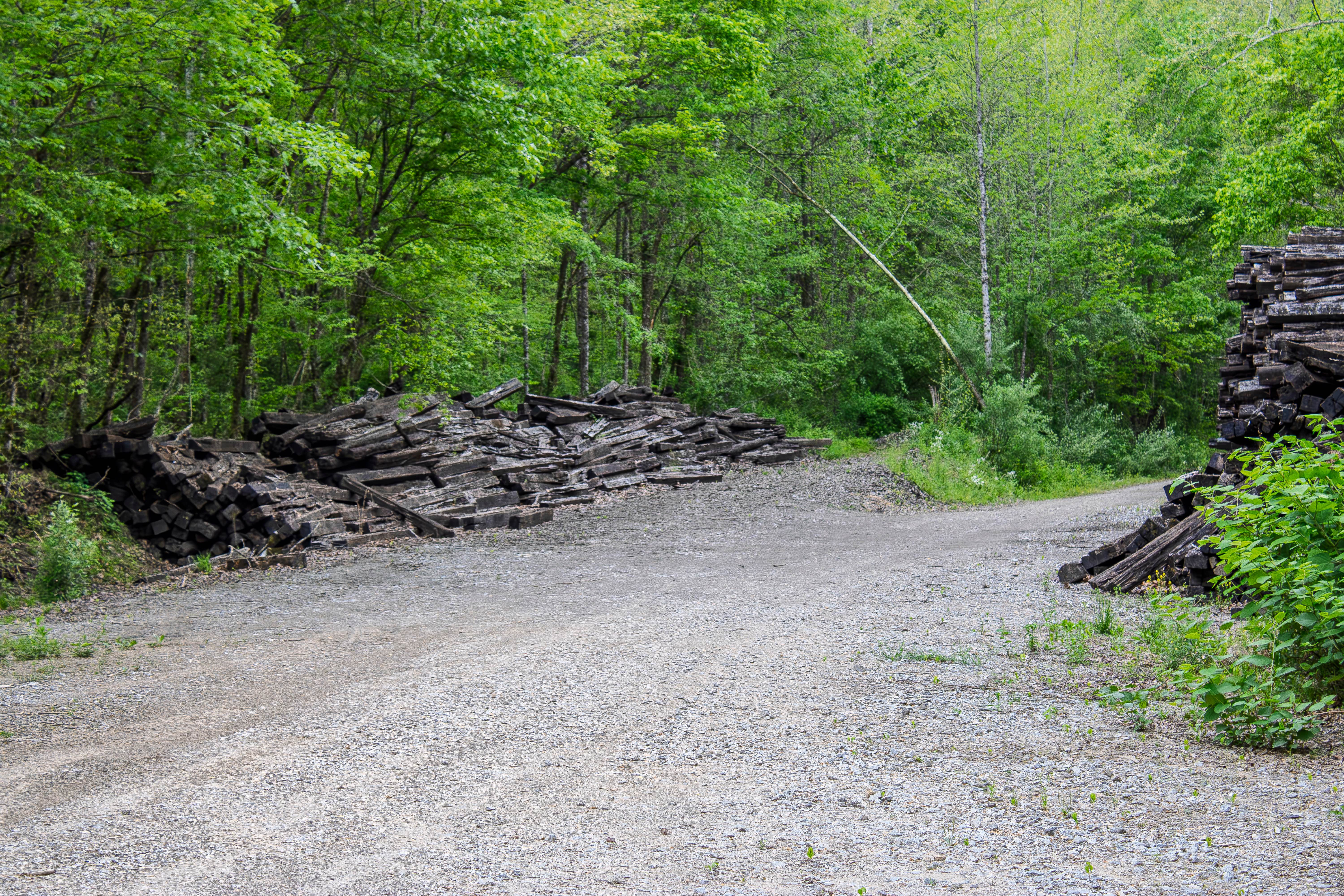
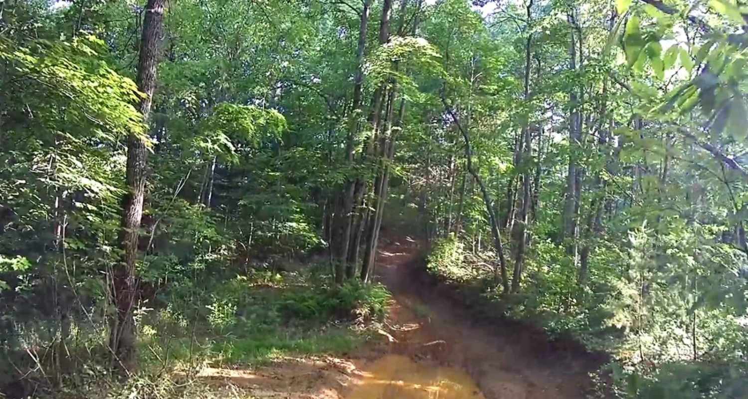
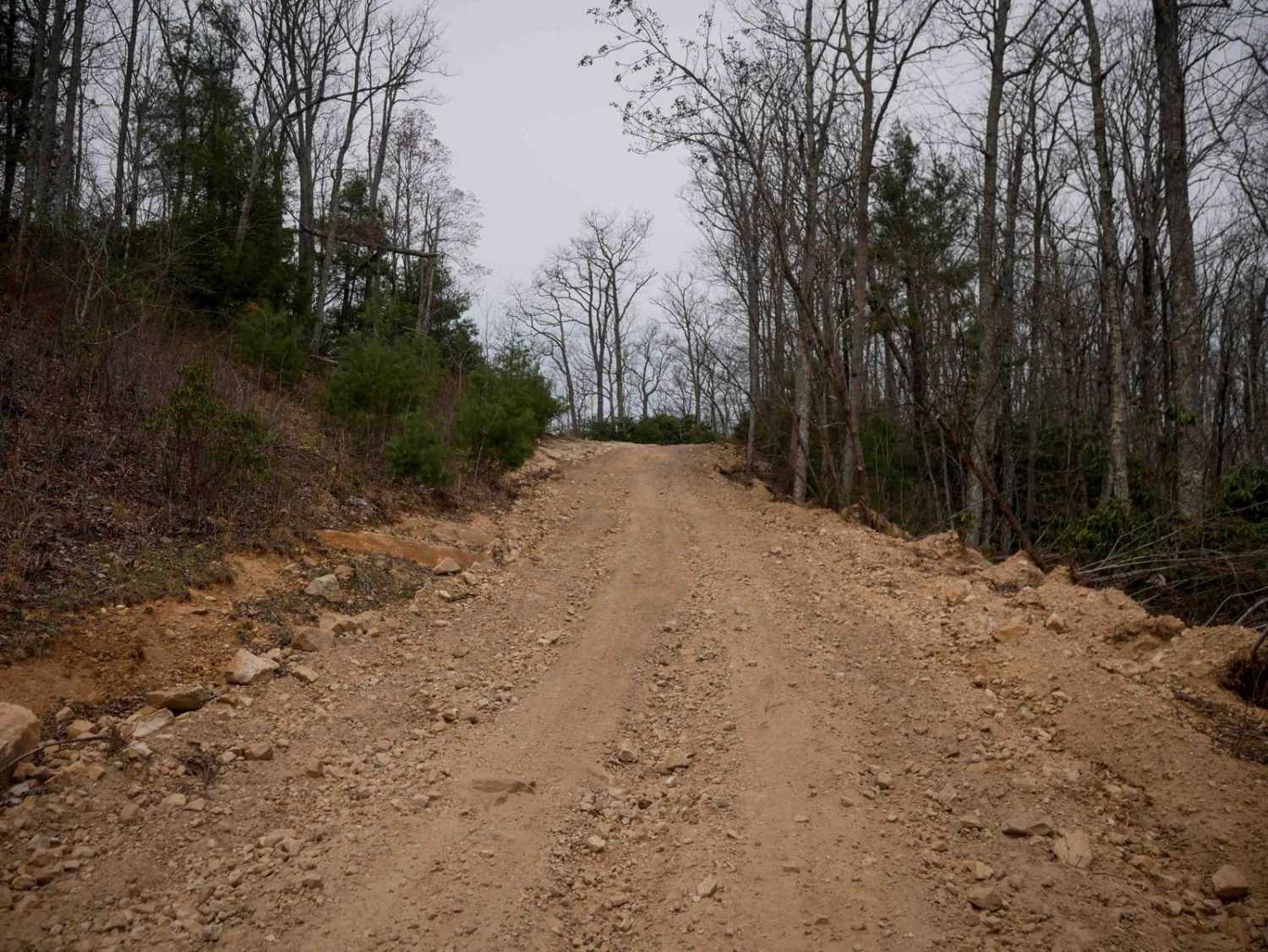
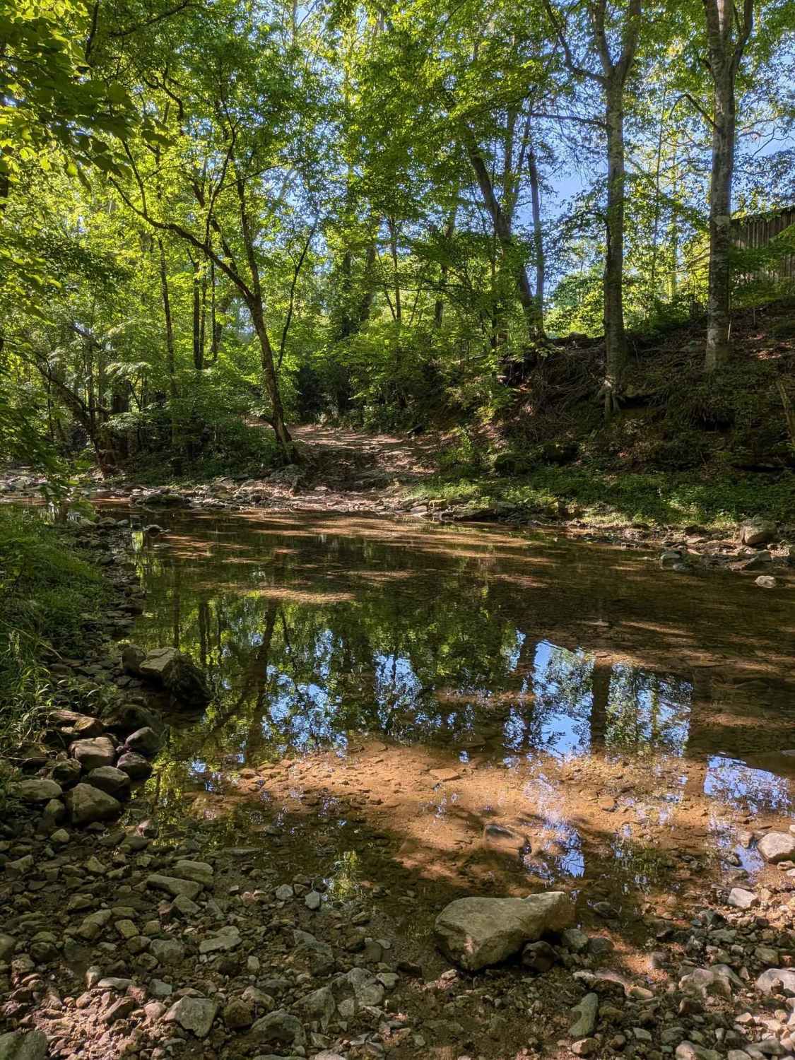
Trail Overview
SWG 36 is a two-way dirt trail that starts off Red Oak Road and continues toward the Windrock Park boundary. If you have a valid Windrock Park pass, you may be able to continue beyond the boundary into the park's trail system. If you do not have a Windrock pass, this should be treated as an out-and-back trail, and you should turn around before entering Windrock property. The trail is narrow in many areas, with several sections of overgrown vegetation that may brush along the sides of your vehicle. Pinstriping is possible, especially in wider trucks and SUVs. The trail surface is mostly dirt with a few washed-out sections where water continues to run across the road. These areas can become slick, rutted, and rough depending on recent rainfall and how much traffic has used the trail. There are also a few mud and water crossings along the route. Some may be shallow in dry conditions, but they can become deeper after rain or after repeated vehicle traffic creates deeper ruts. Drivers should check depth and bottom conditions before entering any water or mud hole. A few old ponds sit along the route, giving this trail some good places to stop, explore, and take photos before continuing toward the Windrock boundary.
Photos of SWG 36
Difficulty
SWG 36 earns a moderate rating because of the narrow trail, overgrown vegetation, washouts, mud holes, and water crossings that can change with weather and traffic. In dry conditions, the trail may feel fairly manageable for a high-clearance 4WD vehicle. After rain, the washed-out areas and mud crossings can become deeper and slicker, requiring better tire placement and careful throttle control. The trail does not appear to have major rock ledges or extreme obstacles, but the ruts, water, and narrow sections make it more challenging than a basic gravel road.
Status Reports
SWG 36 can be accessed by the following ride types:
- High-Clearance 4x4
- SUV
- SxS (60")
- ATV (50")
- Dirt Bike
SWG 36 Map
Popular Trails
Rich Mountain Summit
Whites Gap Road

Panhandle Road Crest
The onX Offroad Difference
onX Offroad combines trail photos, descriptions, difficulty ratings, width restrictions, seasonality, and more in a user-friendly interface. Available on all devices, with offline access and full compatibility with CarPlay and Android Auto. Discover what you’re missing today!