10 trails found in California
Which "20" are you looking for?
We found 10 off-road trails in California matching your search. Pick the one you're looking for below.
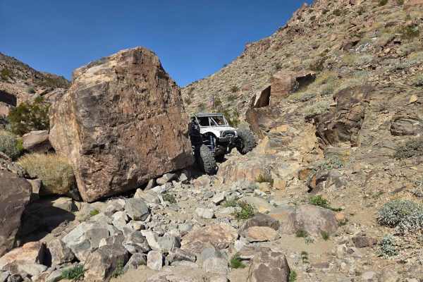
Highway 20
The harder direction for Highway 20 is climbing up from Highway 19. There's a bailout road between Highway 19 and Highway 20 on the right while heading up if things go sideways. This trail features plenty of burnt-in bypasses, but it still has its share of obstacles—including a fairly off-camber tig...
Learn more about Highway 20
Niagara 20
The start of this road is steep, with washboards and loose gravel. So put it in four-wheel drive or go slow to help keep them from getting worse. Dispersed camping along the way to get to Niagara 20, which is where you are headed. But not the only place up here. Some spots on Niagara 20 are also ste...
Learn more about Niagara 20
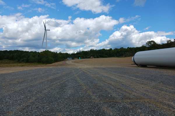
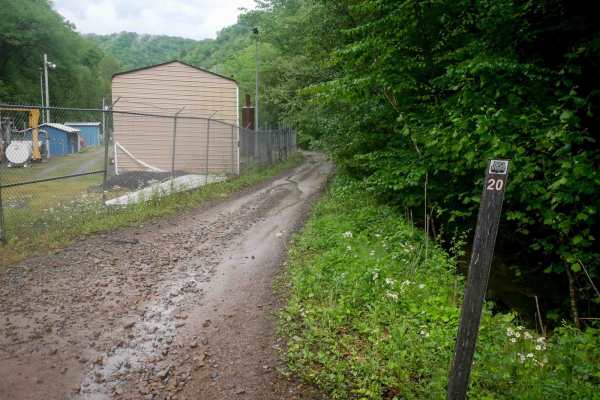
Turbine 20 Road
Turbine 20 Road- A trail of Rock Run Recreation Area. Located on the Northern end of the facility, Turbine 20 Road is an improved stone roadway, two vehicles wide for just under 1/10th of a mile. Turbine 20 Road was established in the 2025 season as part of the windmill construction project and was ...
Learn more about Turbine 20 Road
OHV 20 - Rock Run Recreation Area
OHV 20- A trail of Rock Run Recreation Area. OHV 20 is a designated Off-Highway Vehicle Trail and should be able to be traversed by anyone. OHV 20 is a short connector trail between trails OHV 18 and 19. It allows one to miss the most severe portions of both trails, OHV 18 and 19, by creating a loop...
Learn more about OHV 20 - Rock Run Recreation Area

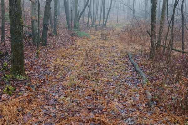
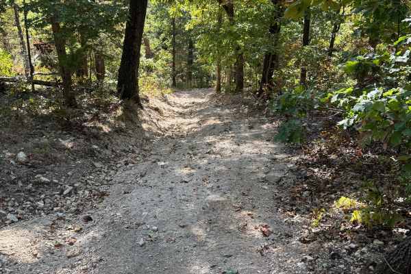
Locust Gap 20
Locust Gap 20 is quite short, but while you are on this wooded trail, enjoy small rocks, slight uphills and downhills, and a washout here and there. Surprise! There is a muddy water crossing that has some depth and can vary depending on recent rainfall. Choose your driving lines carefully to avoid g...
Learn more about Locust Gap 20
St. Keirns 20
St. Keirns 20 was a challenging continuation trail, but now it is a dead end due to active mining. This trail now weaves down a fun trail but then has signs not to go past. It has a few semi-deep water/mud holes and an off-camber rooted area with large drop-offs alongside.
Learn more about St. Keirns 20
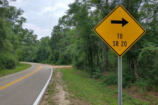
HW 20 Parrallel
Scenic Washboard dirt road running across the National Forest. During the Spring and Summer months a very beautiful green foliage can be seen. There are dozens of Florida butterflies, and other wildlife that to be seen in the area as well. Two built bridges on the West half of the trail allow access...
Learn more about HW 20 Parrallel
Yellow 20
Yellow 20 is an off-shot trail of Yellow 19. This trail is overgrown at one end. There are signs of natural erosion due to rain fall in the middle of the trail. You will pass by other spur trails or trails that intersect with Yellow 20 along the way.
Learn more about Yellow 20
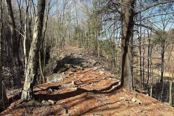
RH 20
RH 20 is a 2.6-mile trail that begins near some utility buildings and fencing under powerlines and climbs the mountainside via a couple of wide switchbacks. It transitions into a meandering, shelf-like path along the hillside, featuring scenic rock cliffs built into the terrain. The trail surface in...
Learn more about RH 20
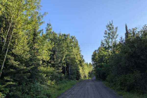
County Road 20
County Road 20 is accessed from the paved Gunflint Road and serves as a central route through a busy tourist area. The trail is wide and well-maintained gravel, winding through a forested landscape with a mix of ascents and descents. This area is home to several lodges, canopy tour operators, canoe ...
Learn more about County Road 20