Tharpe Hollow - FS 384
Total Miles
1.0
Technical Rating
Best Time
Spring, Summer, Fall, Winter
Trail Type
Full-Width Road
Accessible By
Trail Overview
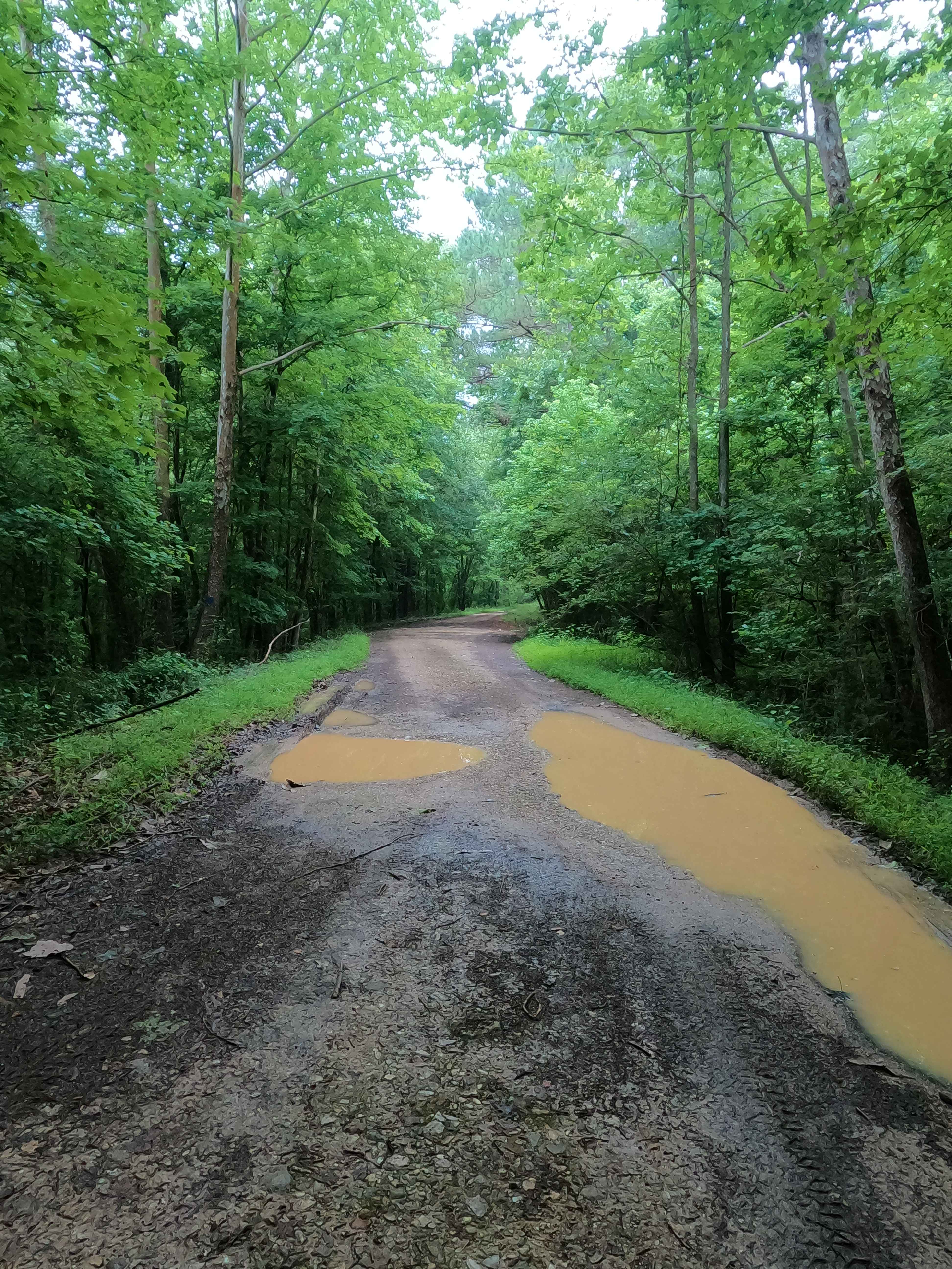
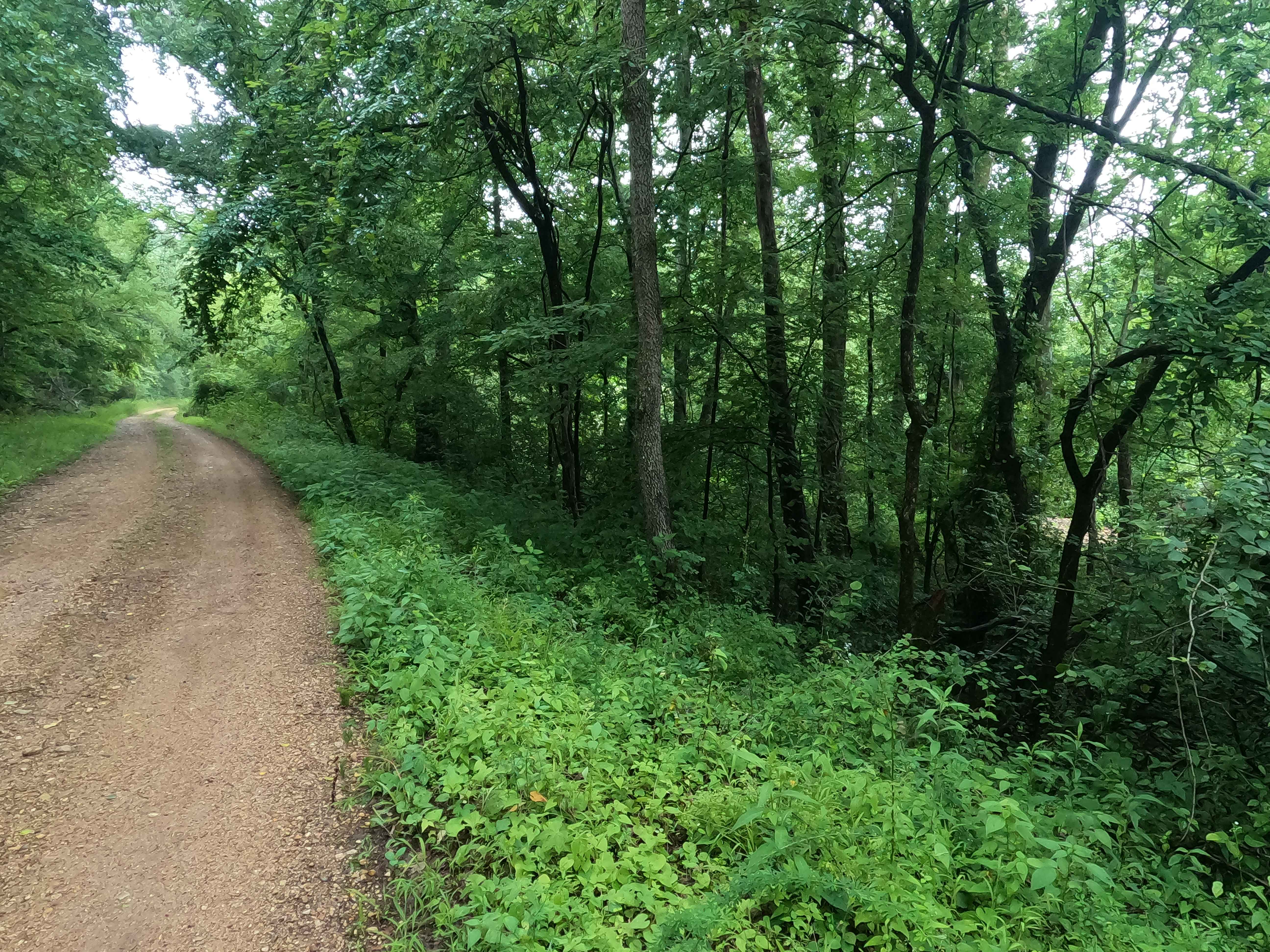
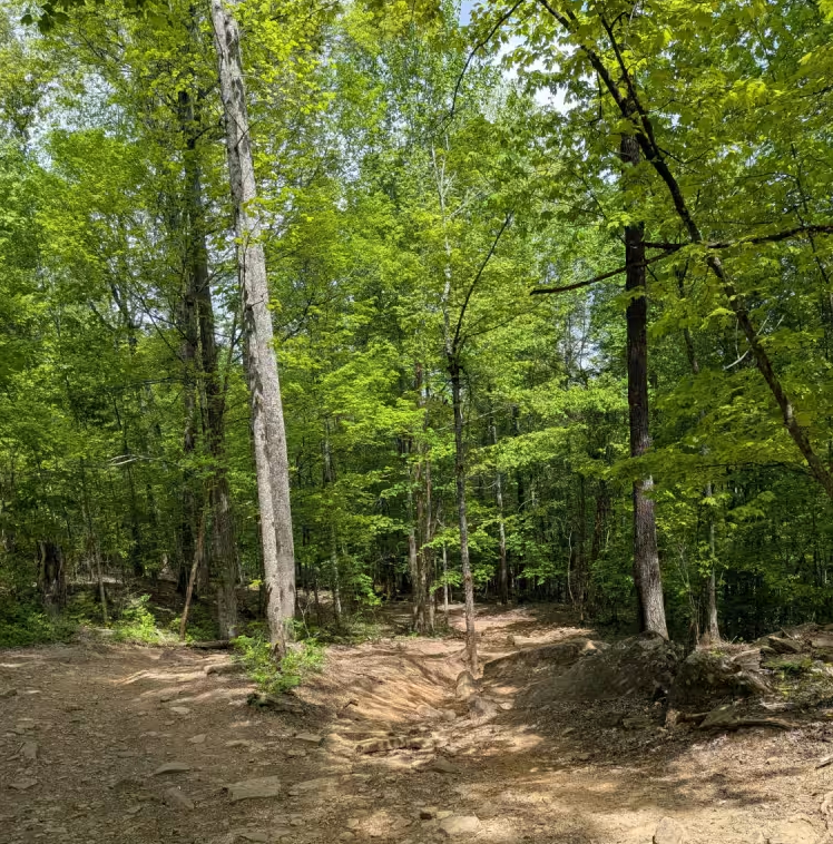
The Tharpe Hollow / Whitford Cemetery Road FS 384, is a gravel and natural dirt forest service road through the southern Tennessee section, Lake Barkley side of Land Between the Lakes National Recreation Area. The road leads east off the Woodland Trace, at first giving the feeling it is a basic gravel forest road, but about midway through water collection spots start to become frequent as it passes the Whitford Cemetery on the hilltop to the north at 36.57023, -87.92516. Then for the last quarter of the track elevation drops down right next to the Barrett Creek bottom encountering water collection holes ranging from mild to moderate in depth, depending on how wet the conditions are. The road ends next to the north side of the Bards Lake, at a turnaround loop and former site of the Tharpe Church at 36.56775, -87.91843. This is a great spot to end up if you want to stay away from others and traffic.
Photos of Tharpe Hollow - FS 384
Difficulty
The difficulty, as with many LBL roads, depends on how wet the conditions are. This trail is a prime example of how much water can play a part in the difficulty. In one of the submission pictures, the tire is submerged easily 9" in a hole that shows signs of being up to 18" deep at times on the edge of the hole. Considering the average depth of these holes is less than 12", the trail gets a 3/10 base rating, but in the right conditions could bump up to what onX defines as a 4/10 with deeper water holes. Be wary of this potential difficulty increase. The opposite extreme is also possible; either when the road is completely dried out or if the road were mended, the difficulty could drop to as little as a 1/10 basic road, or 2/10 when dried out in deep summer.
History
When referring to the old 1936 Tharpe, Tennessee topo map, the map gives insight into a few former communities along the road, Tharpe, TN, being the community that was based on the Woodland Trace, at the point where the FS 221 and FS 384 meet it. This community stretched all the way to far east ends of both the former FS 384 and FS 384B roads, with FS 384B also forking (at 36.57141, -87.91725) and both of these roads going east through Bards Creek which resting along the eastern bluff line (at 36.571, -87.908), before ending at the two noted points called Nolans Landing (at 36.578, -87.902) and Sykes Landing (at 36.571, -87.898) along the old Cumberland River bank, being before the 1957-1966 creation of Lake Barkley, which ultimately flooded this river valley, completely erasing these landings and also created Bards Lake. Notable Historic points that served these former communities are Tharpe School along the Trace (at 36.576, -87.934), Whitford Cemetery located on the middle ridge top (at 36.57023, -87.92516), and Tharpe Church found at the modern day turnaround loop along Bards Lake (at 36.56806, -87.91823), from the Tharpe Church another stretch of the former FS 384 road used to go straight south across the valley that is now Bards Lake, to a Mount Zion Cemetery (at 36.56304, -87.91898). Documented by Christopher Menz 10/2025.
Status Reports
Tharpe Hollow - FS 384 can be accessed by the following ride types:
- High-Clearance 4x4
- SUV
Tharpe Hollow - FS 384 Map
Popular Trails

Horse Cove Gap
George Winters Trail (GWT)
Tharpe Hollow - FS 384
Wilmore Hollow Road - Macon County Tour
The onX Offroad Difference
onX Offroad combines trail photos, descriptions, difficulty ratings, width restrictions, seasonality, and more in a user-friendly interface. Available on all devices, with offline access and full compatibility with CarPlay and Android Auto. Discover what you’re missing today!