Hurricane Gap
Total Miles
9.4
Technical Rating
Best Time
Spring, Summer, Fall, Winter
Trail Type
Full-Width Road
Accessible By
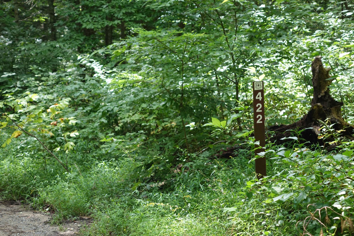
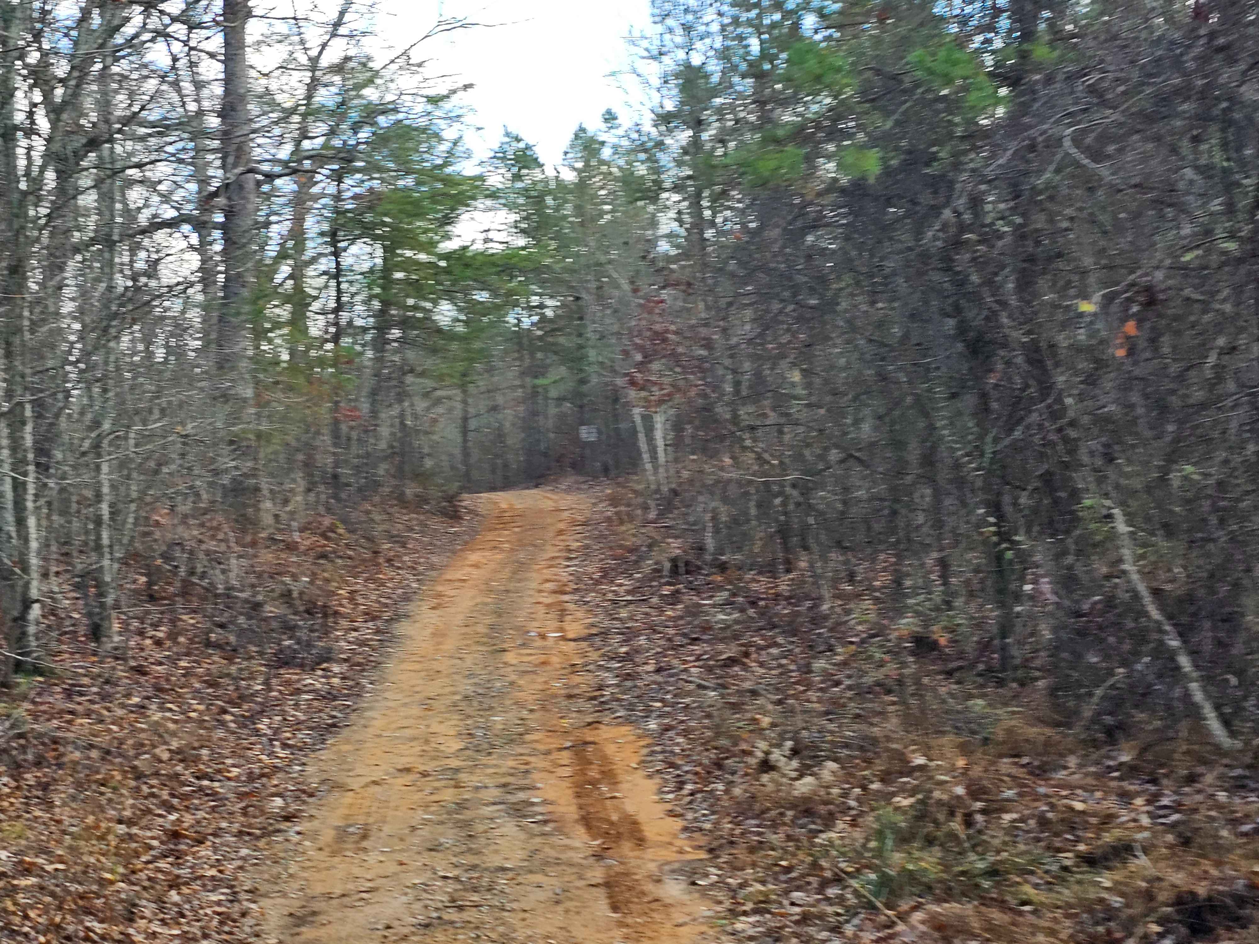
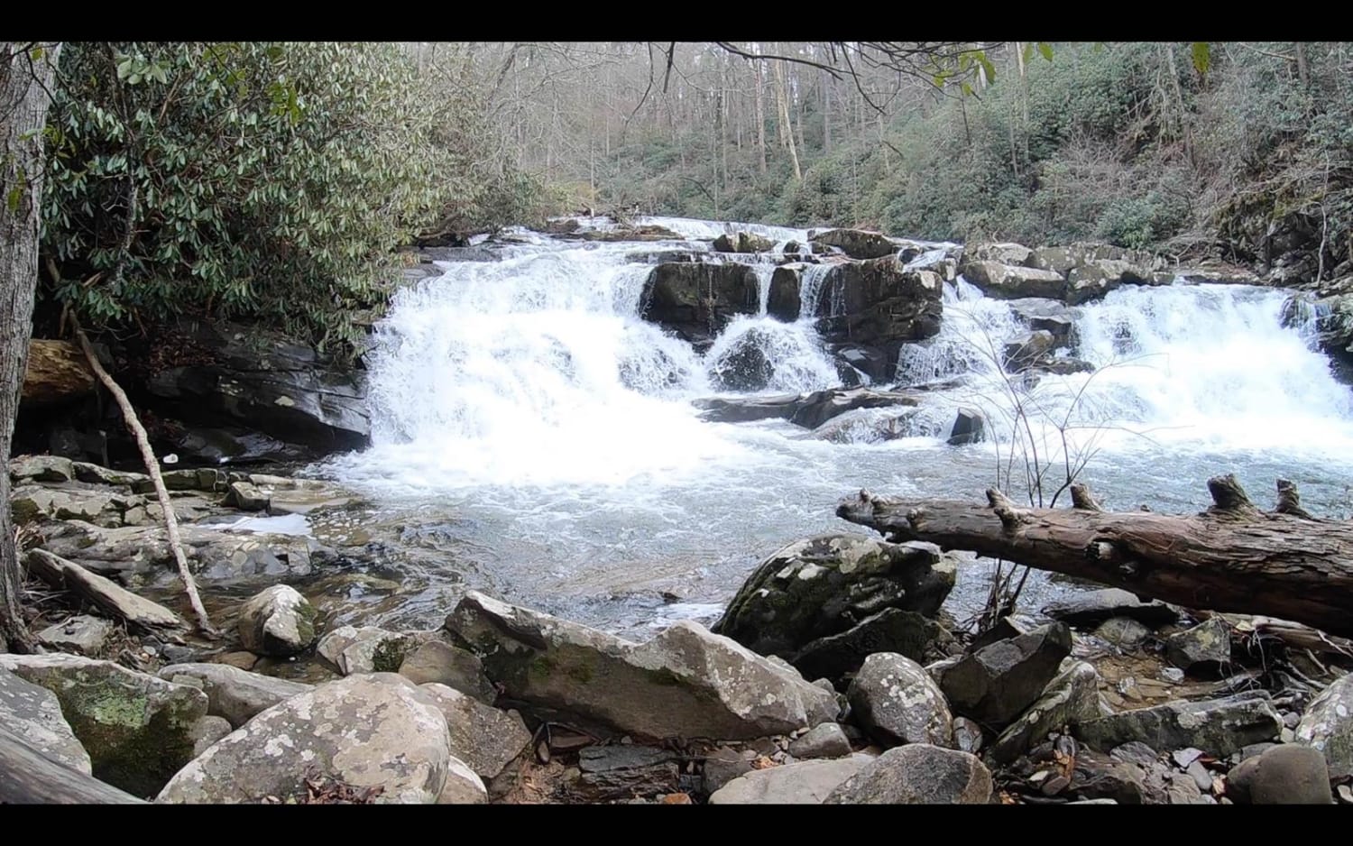
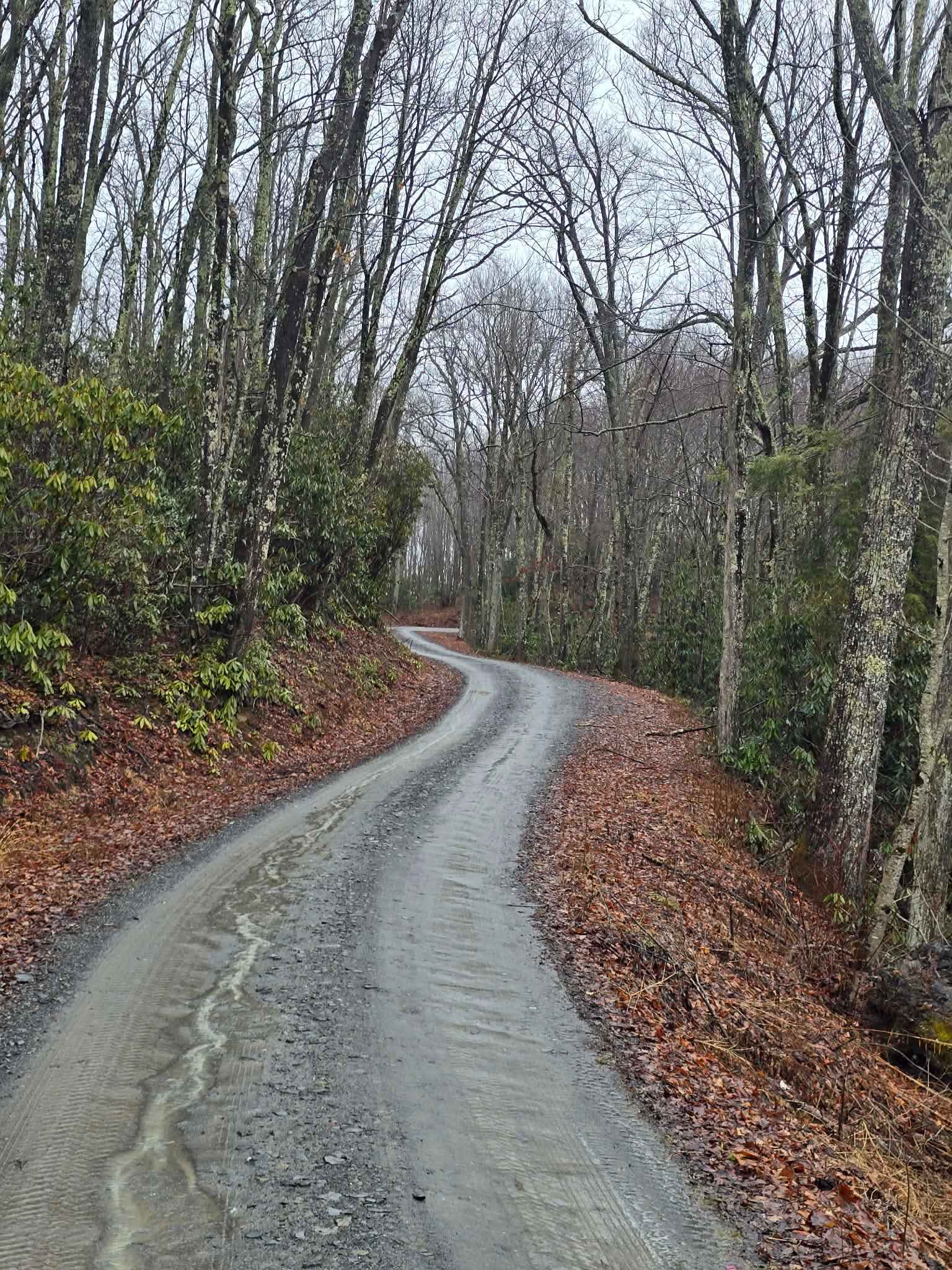
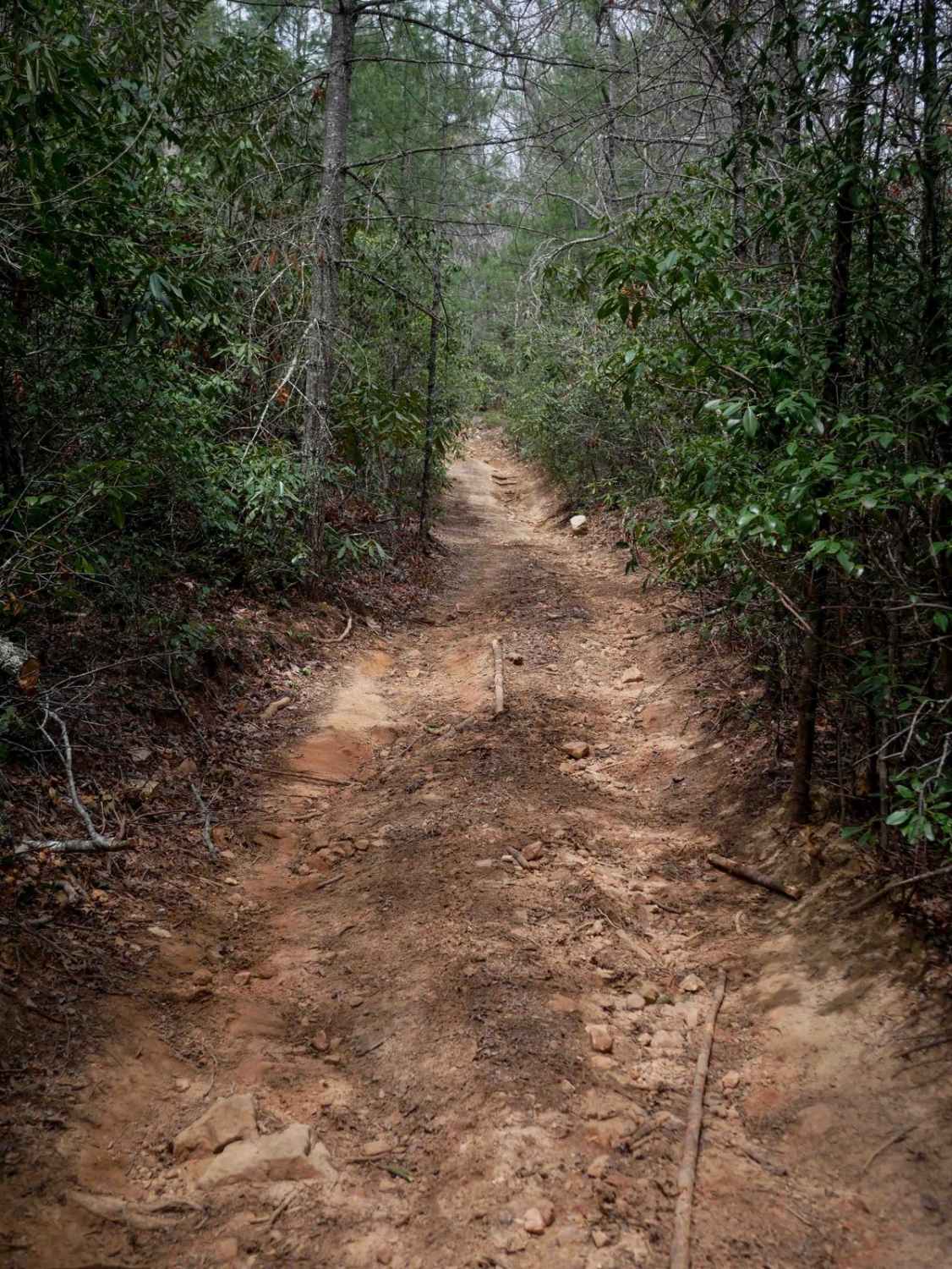
Trail Overview
Hurrican Gap is a well-maintained gravel road that travels from the Houston Valley area to just outside of Hot Springs, NC. While it's not particularly challenging, there are some great side trips along the way. The Rich Mountain Lookout Tower is just a mile off of the road, and if you're looking for a more challenging route you can take Shad Road that connects near the northern and southern ends of Hurricane Gap. At the northern end of this road, there is a forest service campground in the Paint Creek area. You'll also find some great waterfalls and creek access close by.
Photos of Hurricane Gap

Difficulty
It's usually kept in great shape since it's one of the main access roads through the national forest.
Status Reports
Hurricane Gap can be accessed by the following ride types:
- High-Clearance 4x4
- SUV
Hurricane Gap Map
Popular Trails
Coker Creek Falls
Little Stoney Creek
The onX Offroad Difference
onX Offroad combines trail photos, descriptions, difficulty ratings, width restrictions, seasonality, and more in a user-friendly interface. Available on all devices, with offline access and full compatibility with CarPlay and Android Auto. Discover what you’re missing today!