Island Forty Road
Total Miles
1.8
Technical Rating
Best Time
Spring, Fall
Trail Type
Full-Width Road
Accessible By
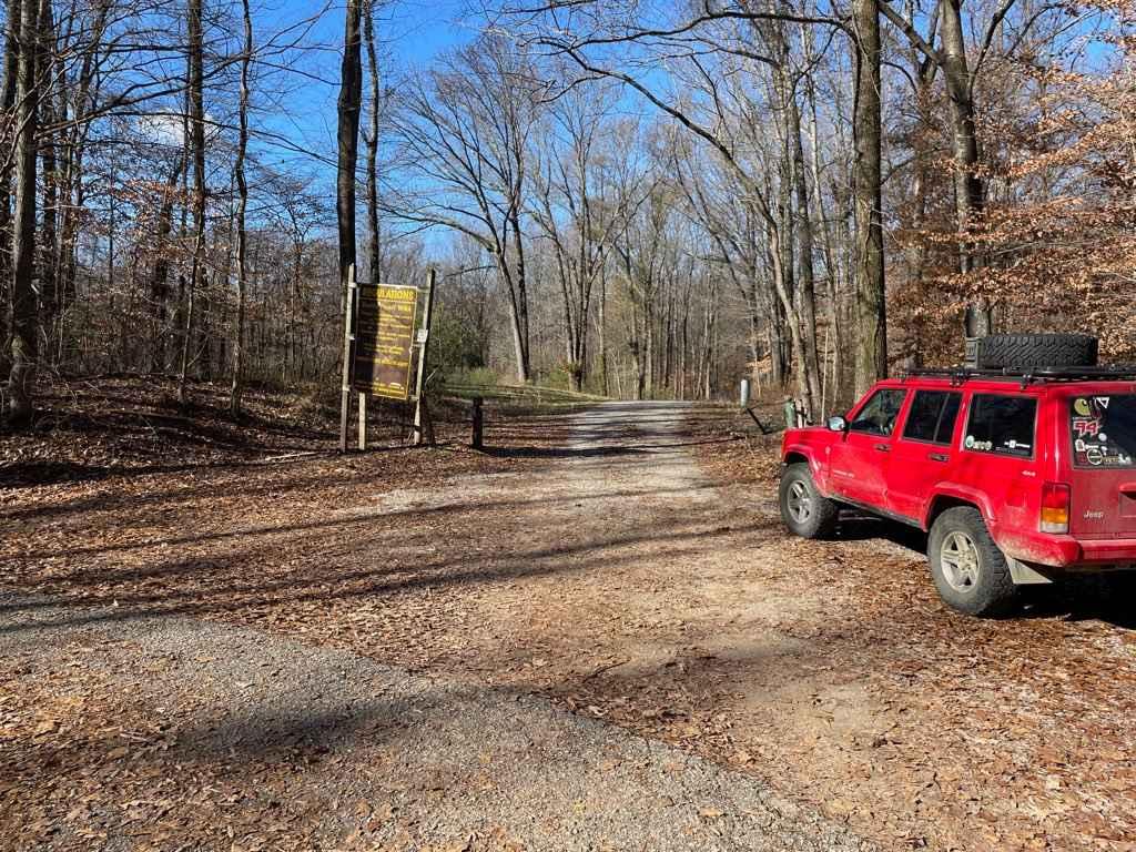
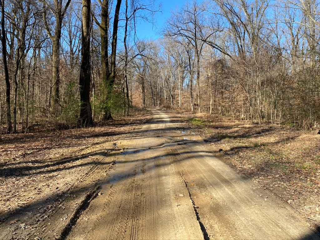
Trail Overview
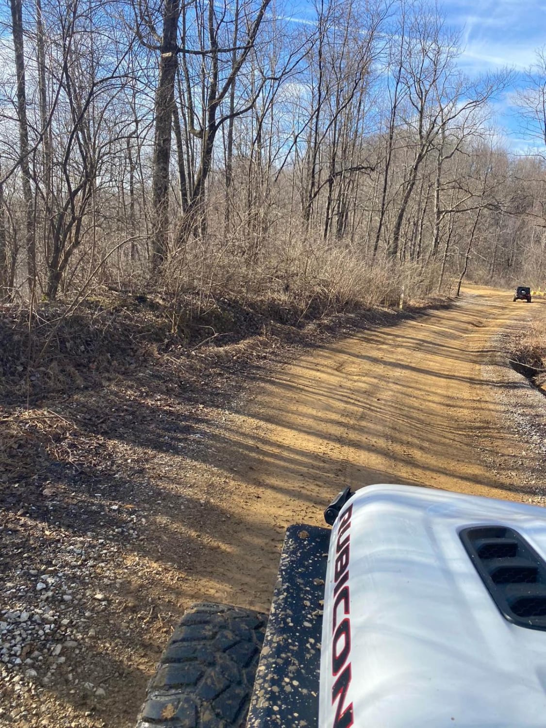
The Island Forty Road, is a dirt based road that traverses into the Shelby Wildlife Management Area which is part of the greater Meeman-Shelby State Park. The road is mostly dirt with a few patches of old gravel here and there, there is high potential the road will easily softened when rain or wet conditions have been present. The road features, rutting, mud, potholes, and one easy graded hill leading down into river bottoms. The area also features a natural boat launch area to put something such as a duck boat into the water, as well as a wide open camp-able area next to the swamps at the northern end point of the trail. The trail ends at a service gate that says no vehicles.
Photos of Island Forty Road
Difficulty
A simple yet dirty little road, fun yet relaxed. Features mild to potentially heavy rutting, water collection spots, large potholes, mud sections, and slight uphill grade mixed with rutting.
History
Containing 13,467 acres, Meeman-Shelby Forest State Park near Memphis is the most visited state park in Tennessee. Initially known as Shelby Forest State Park, it began as a New Deal recreation demonstration area of the National Park Service during the 1930s. Edward J. Meeman, avid conservationist and editor of the Memphis Press-Scimitar, had interviewed Adolph Hitler and was impressed with forest reclamation projects in Germany, finding similarities between the land there and eroded southern land. In a series of newspaper editorials and private conversations with public officials, Meeman insisted that forests in his region could be made to prosper once again. He worked with State Forester James O. Hazard to identify a potential park area in Shelby County, and in 1933 the National Park Service provided Shelby County money and Civilian Conservation Corps (CCC) labor for the park's initial development. *This info was found on tennesseeencyclopedia.net*
Status Reports
Island Forty Road can be accessed by the following ride types:
- High-Clearance 4x4
- SUV
Island Forty Road Map
Popular Trails
Spring Hollow Road - Macon County Tour
Red Oak Mountain Road

Laurel Mountain / White Rock
The onX Offroad Difference
onX Offroad combines trail photos, descriptions, difficulty ratings, width restrictions, seasonality, and more in a user-friendly interface. Available on all devices, with offline access and full compatibility with CarPlay and Android Auto. Discover what you’re missing today!