Trail 75 Walden's Ridge
Total Miles
3.4
Technical Rating
Best Time
Spring, Summer, Fall
Trail Type
High-Clearance 4x4 Trail
Accessible By
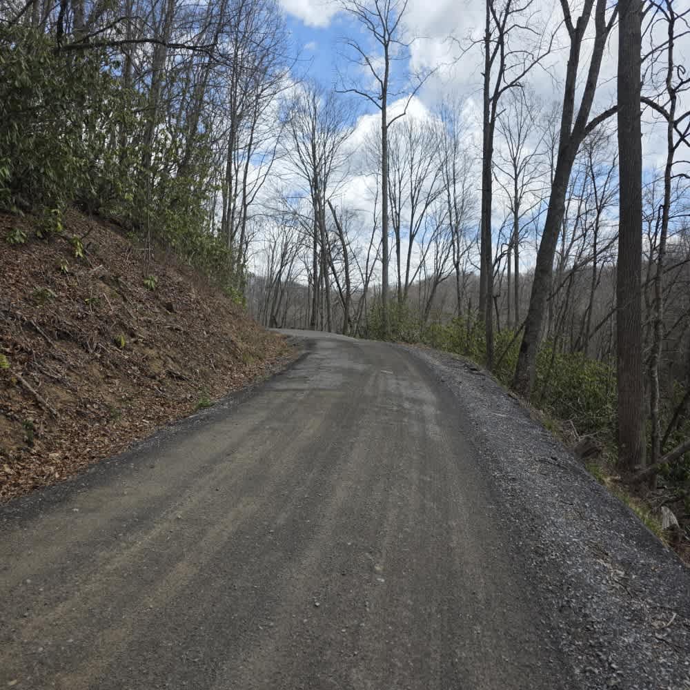
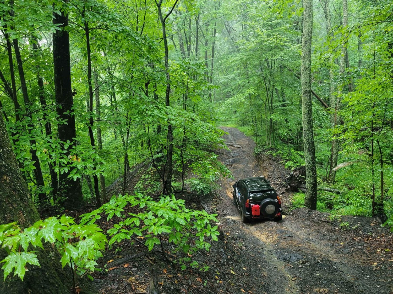
Trail Overview
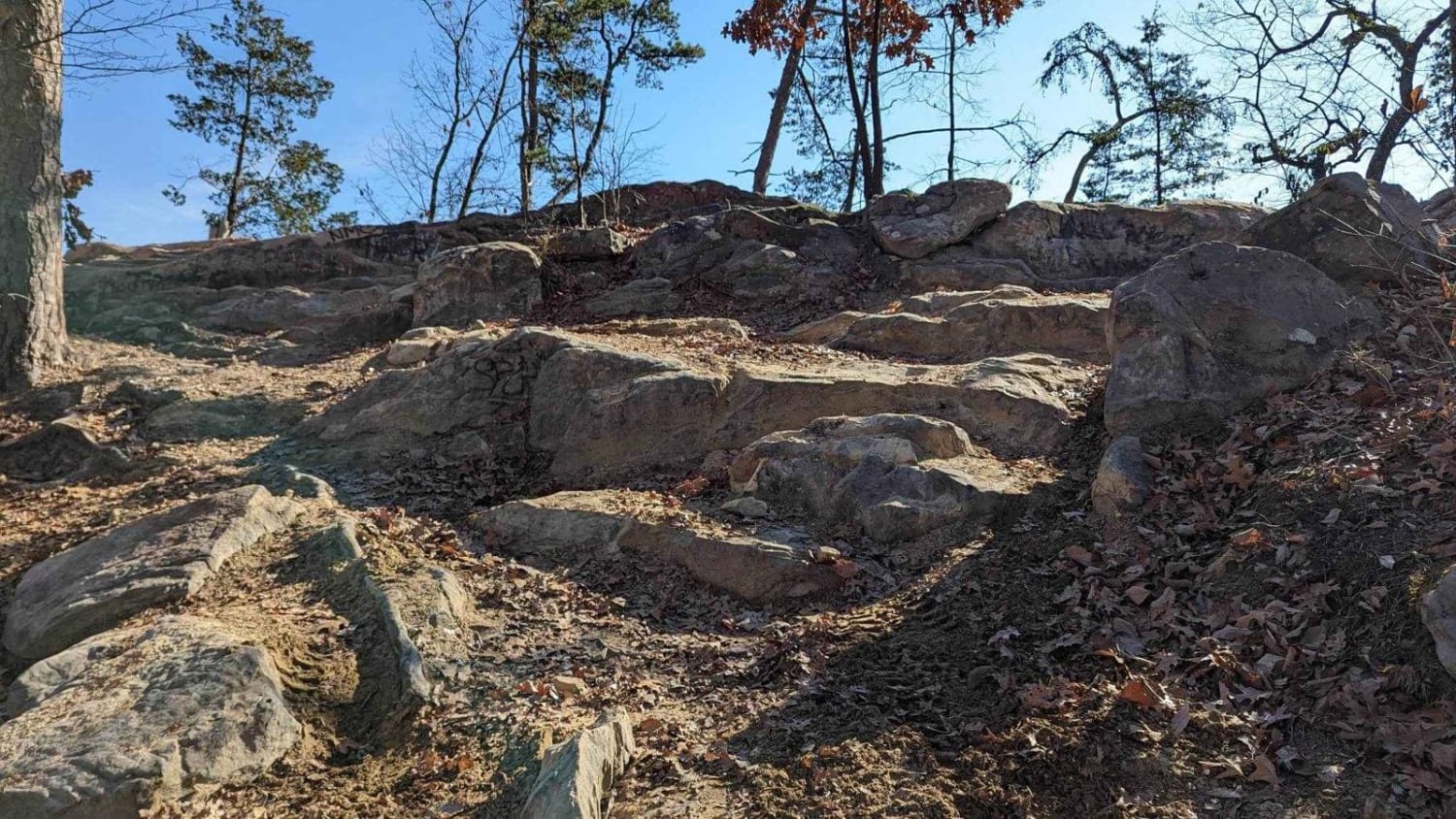
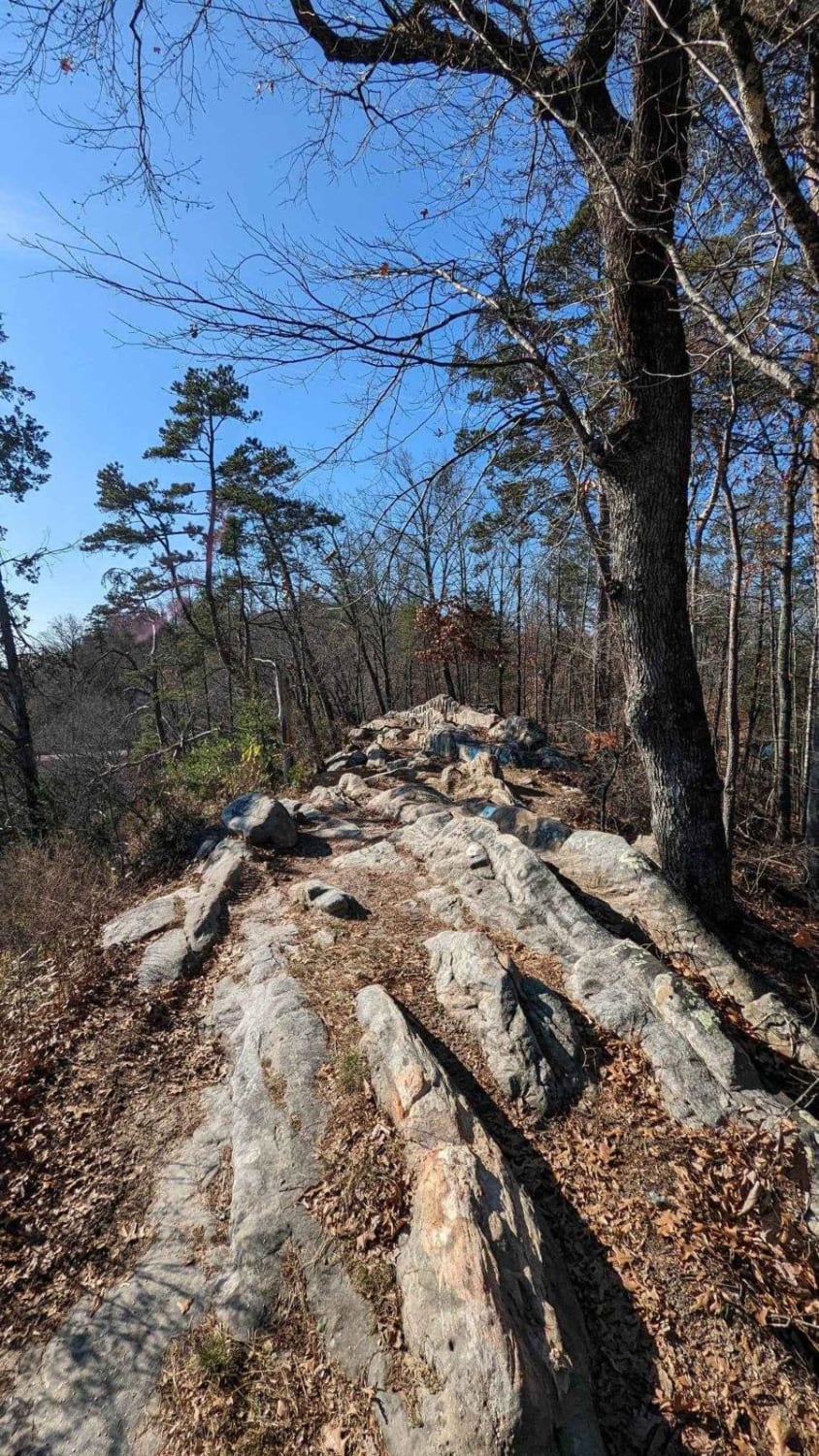
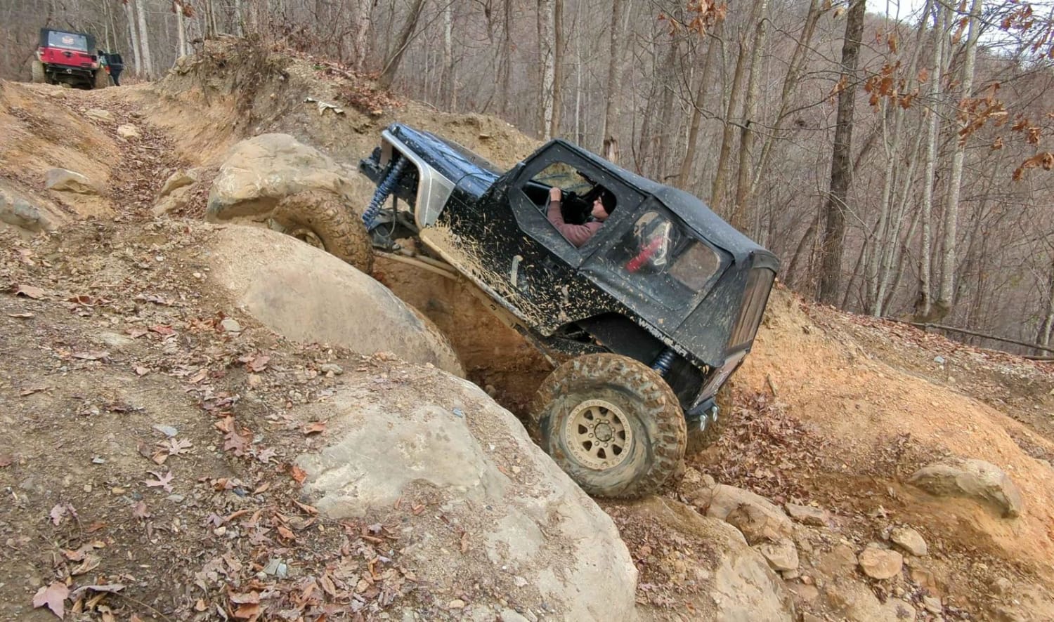
Walden's Ridge is for high-clearance vehicles only. The trail has large rocks, long steep ledges, and steep ruts. The ridge runs along the very top of a mountain and is only one vehicle wide. There are a couple of trees to winch to if needed, but not many to choose from. The view is beautiful! The trail continues through the woods and has many large rock climbs. It is a very fun technical trail. Most rock crawls had a bypass. They were steep descents and ascents. The trail would be VERY difficult in wet conditions.
Photos of Trail 75 Walden's Ridge
Difficulty
Walden's Ridge is for the experienced wheeler only.
Status Reports
Trail 75 Walden's Ridge can be accessed by the following ride types:
- High-Clearance 4x4
Trail 75 Walden's Ridge Map
Popular Trails
Trail 38 (Little School Bus)
Red Fork Road
87-Poplar Creek
The onX Offroad Difference
onX Offroad combines trail photos, descriptions, difficulty ratings, width restrictions, seasonality, and more in a user-friendly interface. Available on all devices, with offline access and full compatibility with CarPlay and Android Auto. Discover what you’re missing today!