SWG 4
Total Miles
2.3
Technical Rating
Best Time
Spring, Summer, Fall, Winter
Trail Type
Full-Width Road
Accessible By
Trail Overview
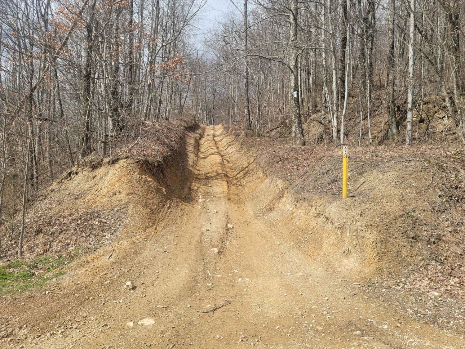
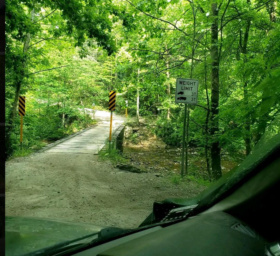
SWG4 is a two-way gravel trail that starts off Red Oak Road and travels back toward an old stripped coal mine area. The road is maintained for most of the route and is wide enough for vehicles to pass without much trouble. There are also several places where you can safely pull over, stop, and explore without blocking the trail. The trail surface is mostly gravel and does not have any major obstacles along the maintained section. This route is more of a scenic and historic access trail than a technical off-road trail. Drivers should still watch for loose gravel, changing surface conditions, and other traffic coming from Red Oak Road or nearby connecting routes. As the trail approaches the old mine area, it loops around a smaller path near the stripped-out mine site. This area gives a clear look at the old coal mining activity that once took place in this part of the mountain. There is also an old cemetery along the route where visitors can stop and look around. Some of the graves date back to the early 1900s, adding historical interest to the ride. SWG4 currently ends at a rock slide that has blocked the original path. There is a way around the slide, but it is not recommended. The bypass may be unsafe, unstable, or outside the intended route, so drivers should turn around at the blocked section and avoid attempting to go around the slide. Because of this, the rock slide should be treated as the end of the trail.
Photos of SWG 4
Difficulty
SWG4 earns an easy rating because the maintained portion is a wide gravel trail with plenty of room to pass and pull over. There are no major rock ledges, deep ruts, water crossings, or technical obstacles along the main route. The only major concern is the blocked section at the end, where a rock slide has closed off the original path. Drivers should not attempt the bypass and should turn around at the slide.
Status Reports
SWG 4 can be accessed by the following ride types:
- High-Clearance 4x4
- SUV
- SxS (60")
- ATV (50")
- Dirt Bike
SWG 4 Map
Popular Trails
64 - Patrick's Pond
52 - Cold Gap Shortcut
Catoosa WMA Noah Hambey
The onX Offroad Difference
onX Offroad combines trail photos, descriptions, difficulty ratings, width restrictions, seasonality, and more in a user-friendly interface. Available on all devices, with offline access and full compatibility with CarPlay and Android Auto. Discover what you’re missing today!