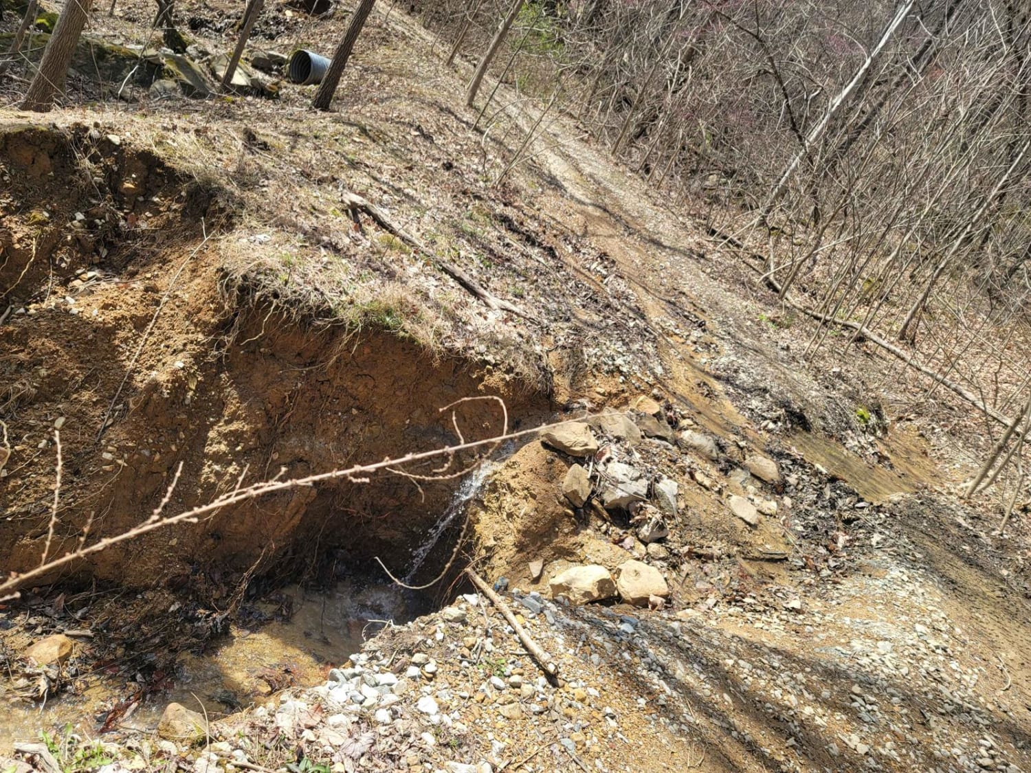
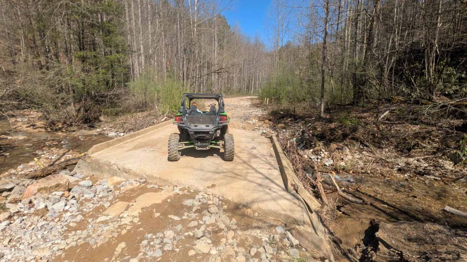
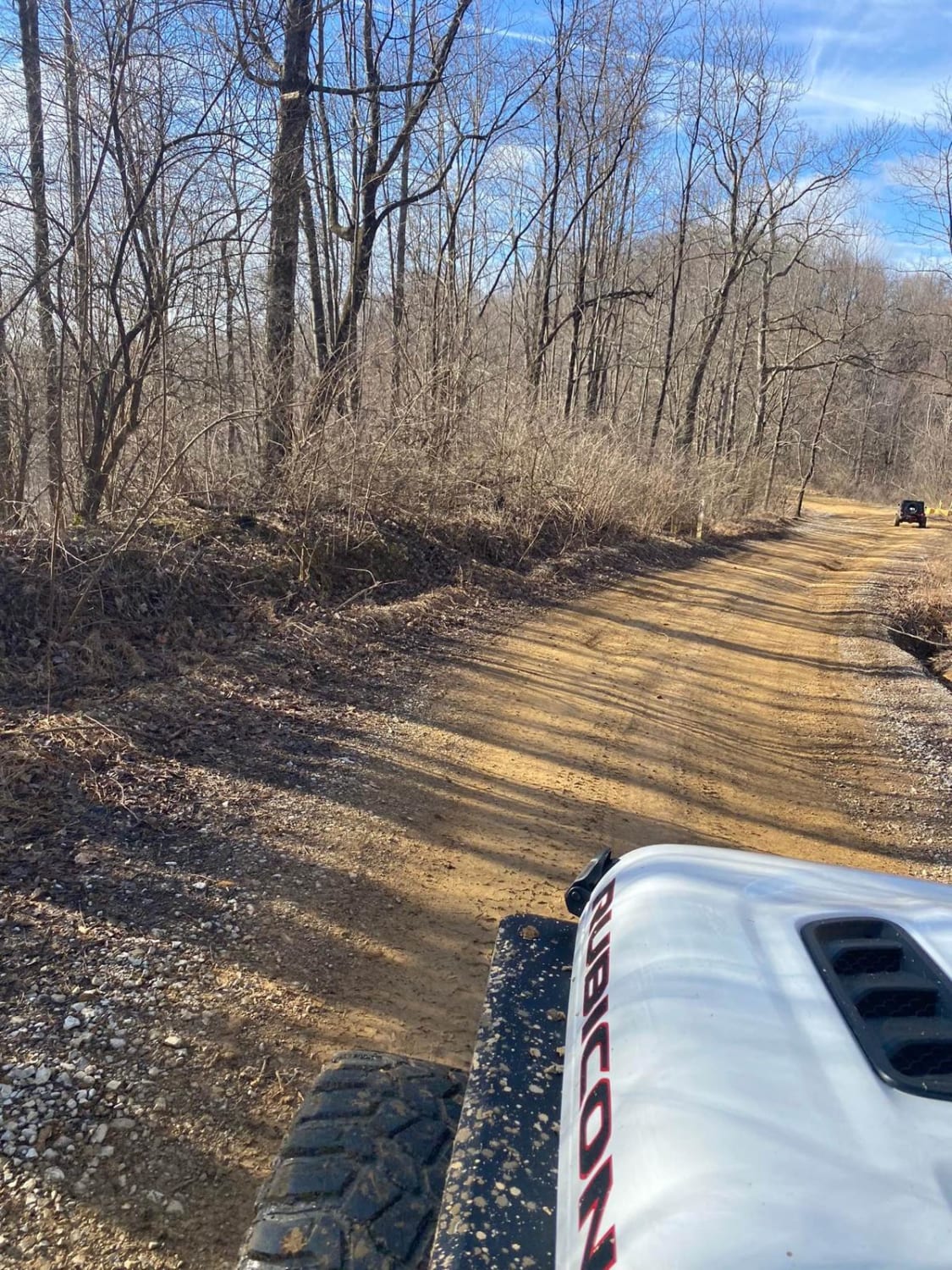
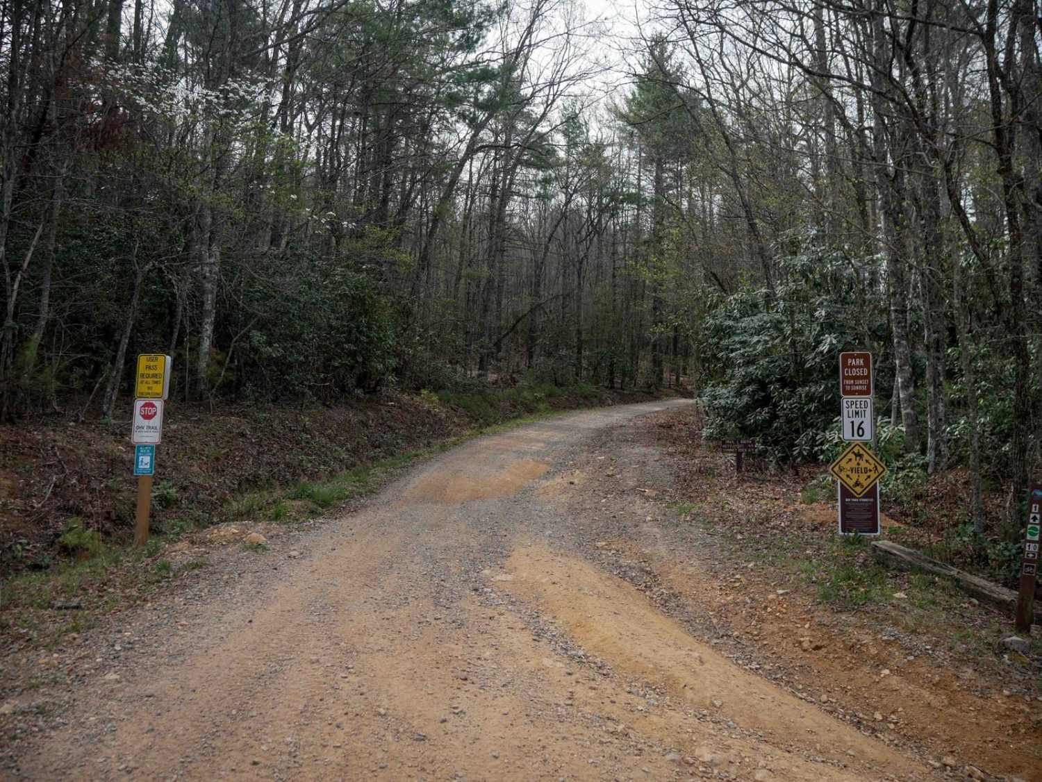
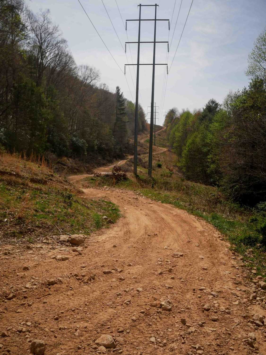
Off-Road Trails in Tennessee
Discover off-road trails in Tennessee
Learn more about G19 - Bluefer Branch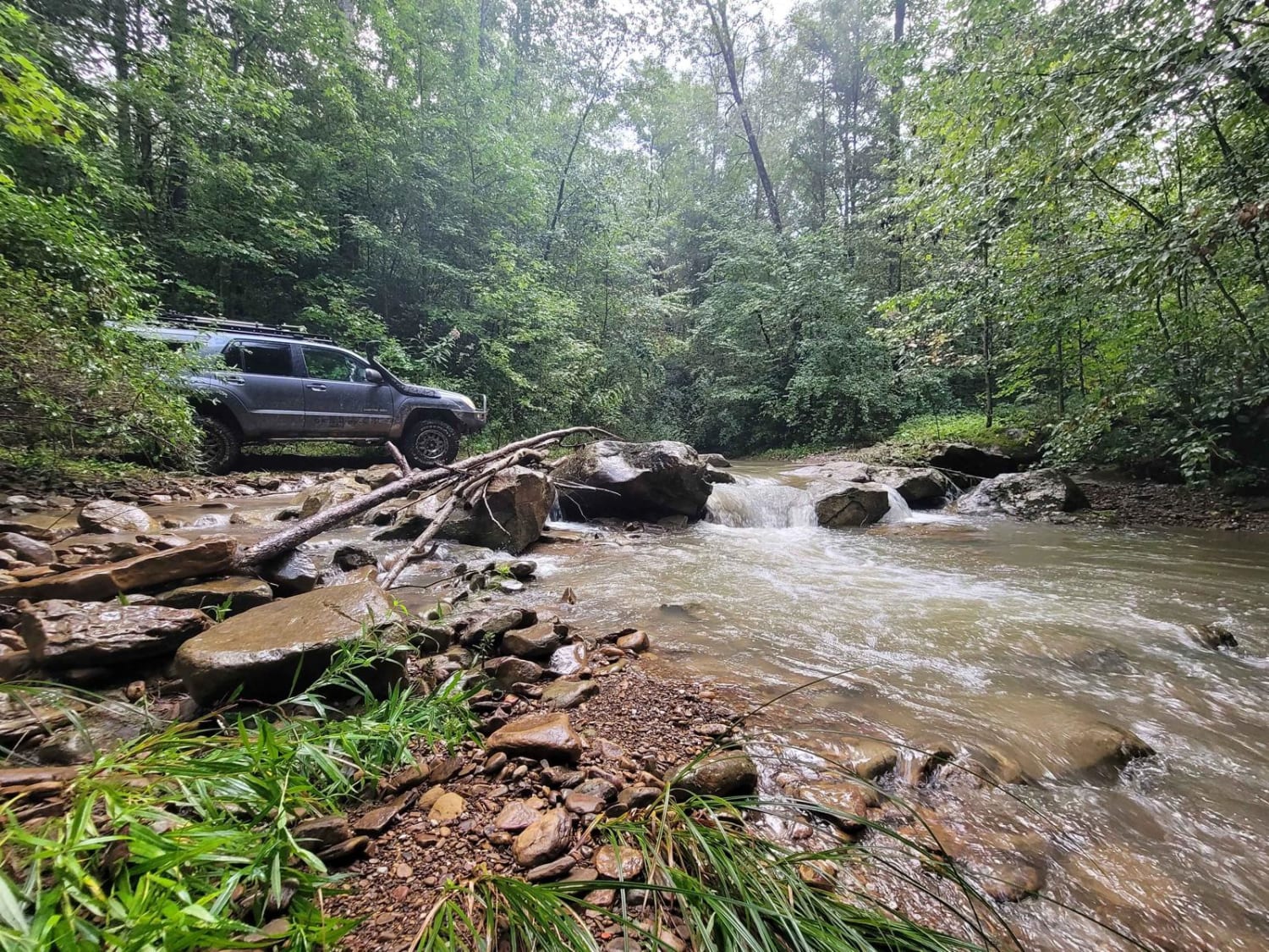
G19 - Bluefer Branch
Total Miles
2.7
Tech Rating
Moderate
Best Time
Spring, Summer, Fall, Winter
Learn more about G21 - Skinned Ash Creek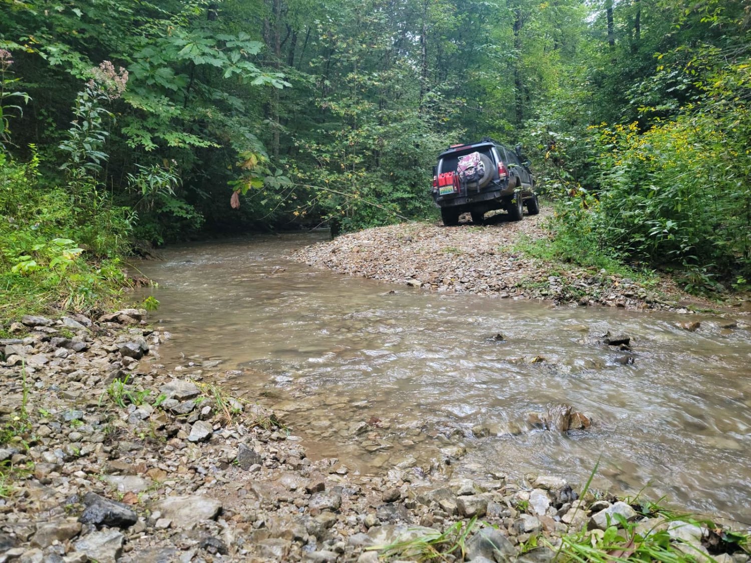
G21 - Skinned Ash Creek
Total Miles
0.6
Tech Rating
Moderate
Best Time
Spring, Summer, Fall, Winter
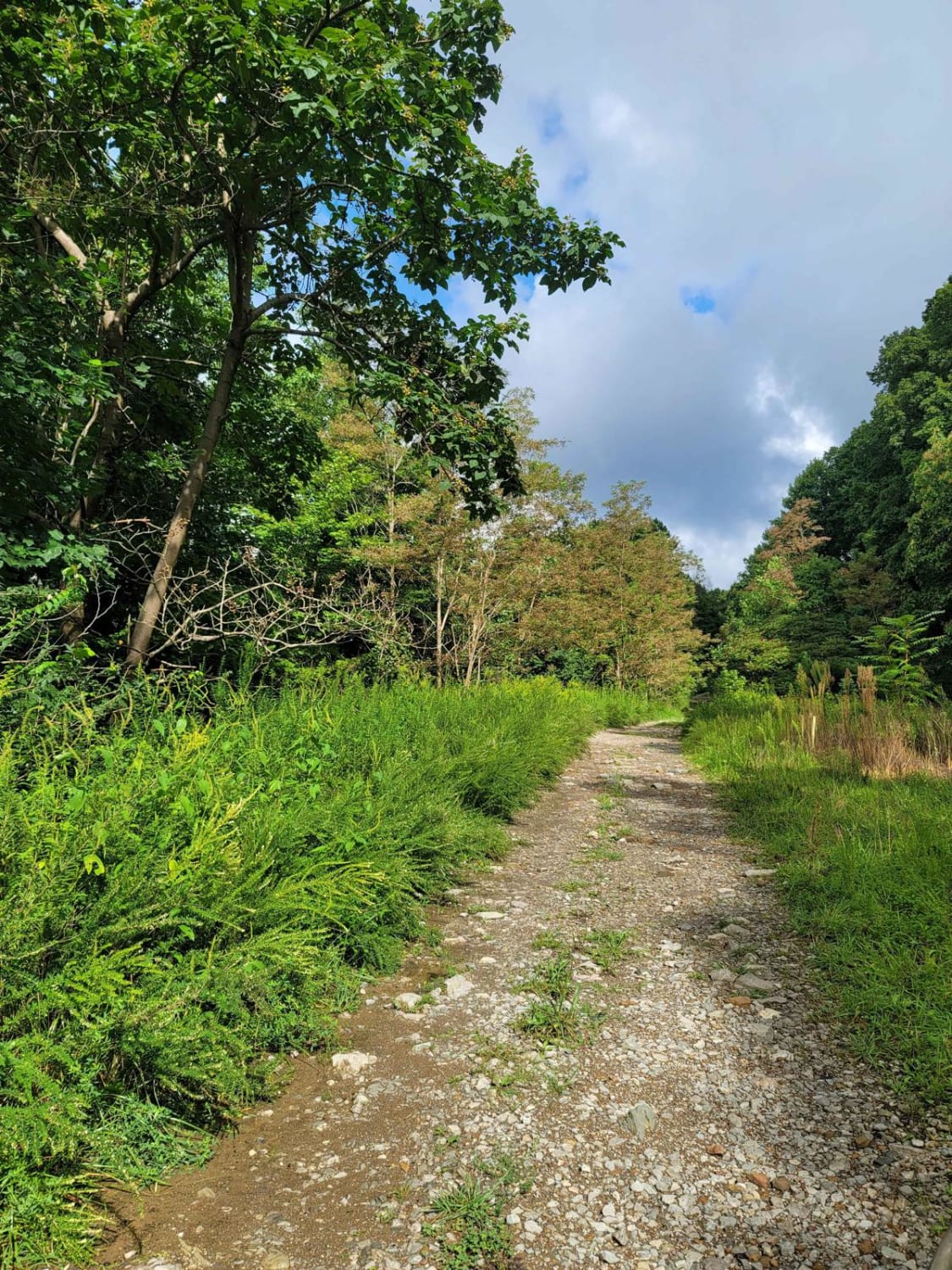
Learn more about G24 - Wildflowers
G24 - Wildflowers
Total Miles
1.2
Tech Rating
Easy
Best Time
Spring, Summer, Fall, Winter
Learn more about G31 - Pinstripe Alley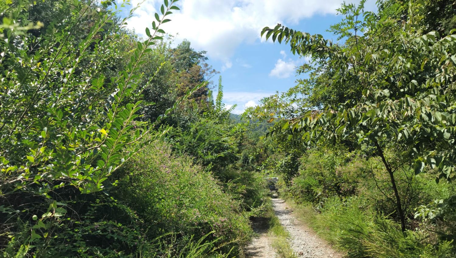
G31 - Pinstripe Alley
Total Miles
1.9
Tech Rating
Easy
Best Time
Spring, Summer, Fall, Winter
Learn more about G33 - Brake Check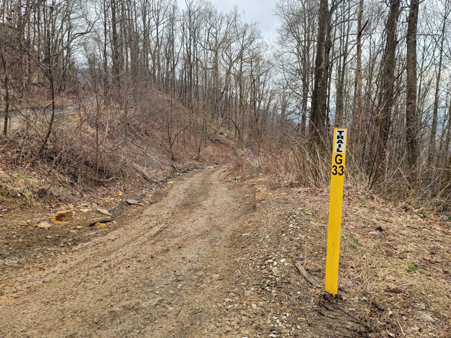
G33 - Brake Check
Total Miles
0.3
Tech Rating
Easy
Best Time
Spring, Summer, Fall, Winter
Learn more about G38 - Snorkel Snatcher
G38 - Snorkel Snatcher
Total Miles
0.7
Tech Rating
Easy
Best Time
Spring, Summer, Fall, Winter
Learn more about G39 - Wedding Day
G39 - Wedding Day
Total Miles
5.1
Tech Rating
Easy
Best Time
Spring, Summer, Fall, Winter
Learn more about G53 - Radar Base
G53 - Radar Base
Total Miles
5.3
Tech Rating
Easy
Best Time
Spring, Summer, Fall, Winter
Learn more about G58 - Cambria Hollow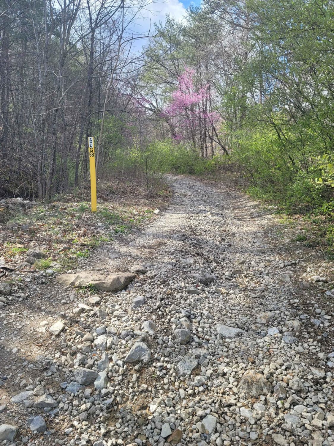
G58 - Cambria Hollow
Total Miles
1.8
Tech Rating
Easy
Best Time
Spring, Summer, Fall, Winter
Learn more about G67 - Brown Flats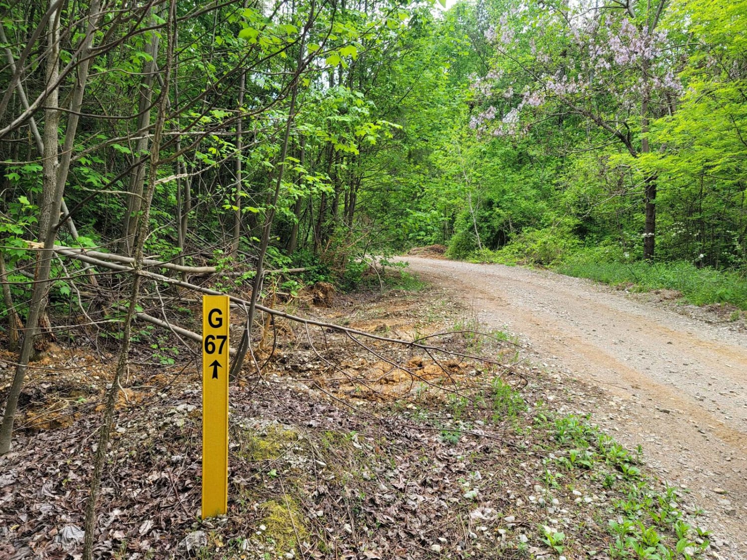
G67 - Brown Flats
Total Miles
2.0
Tech Rating
Easy
Best Time
Spring, Summer, Fall, Winter
Learn more about G7 - New River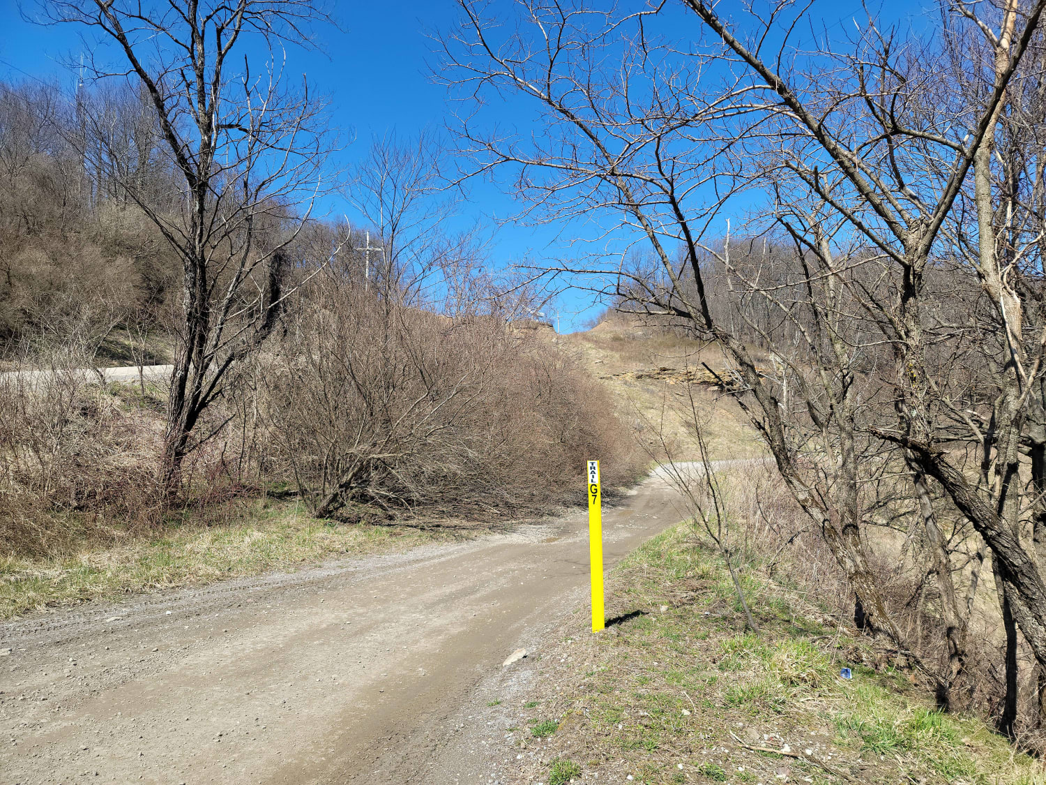
G7 - New River
Total Miles
4.2
Tech Rating
Moderate
Best Time
Spring, Summer, Fall, Winter
ATV trails in Tennessee
Learn more about 1 - Launchpad
1 - Launchpad
Total Miles
1.2
Tech Rating
Easy
Best Time
Spring, Summer, Fall, Winter
Learn more about 11 - Ground Control
11 - Ground Control
Total Miles
0.3
Tech Rating
Easy
Best Time
Spring, Summer, Fall, Winter
UTV/side-by-side trails in Tennessee
Learn more about 1 - Launchpad
1 - Launchpad
Total Miles
1.2
Tech Rating
Easy
Best Time
Spring, Summer, Fall, Winter
Learn more about 11 - Ground Control
11 - Ground Control
Total Miles
0.3
Tech Rating
Easy
Best Time
Spring, Summer, Fall, Winter
The onX Offroad Difference
onX Offroad combines trail photos, descriptions, difficulty ratings, width restrictions, seasonality, and more in a user-friendly interface. Available on all devices, with offline access and full compatibility with CarPlay and Android Auto. Discover what you’re missing today!