Off-Road Trails in Tennessee
Discover off-road trails in Tennessee
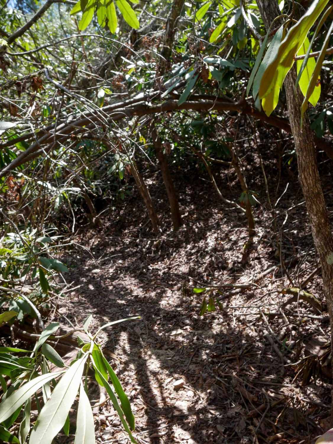
Learn more about Bitter End - Lacy Trap
Bitter End - Lacy Trap
Total Miles
12.1
Tech Rating
Easy
Best Time
Spring, Summer, Fall
Learn more about Blue Ridge Trail - Big Frog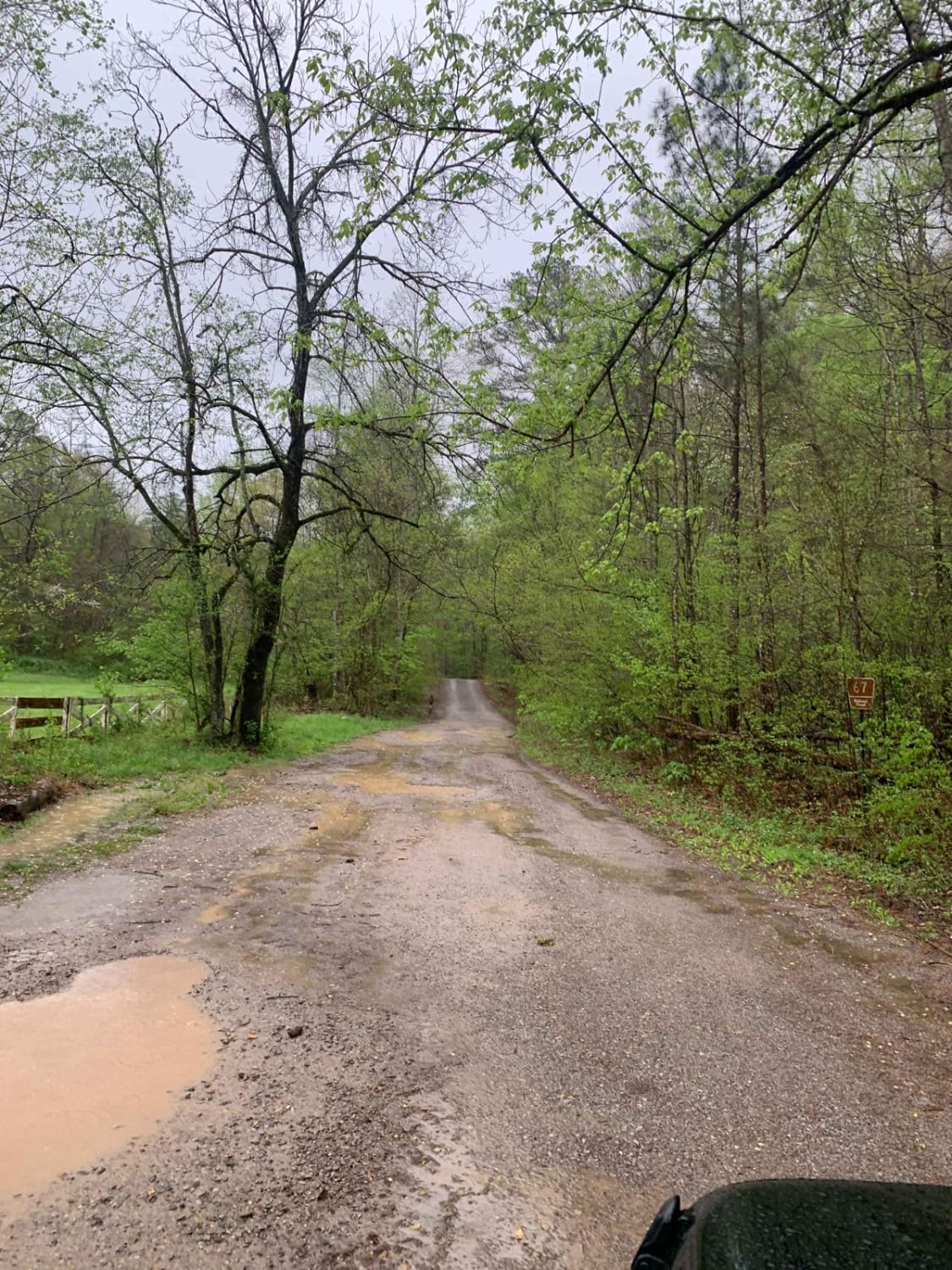
Blue Ridge Trail - Big Frog
Total Miles
5.5
Tech Rating
Easy
Best Time
Spring, Summer, Fall, Winter

Learn more about Brush Creek Road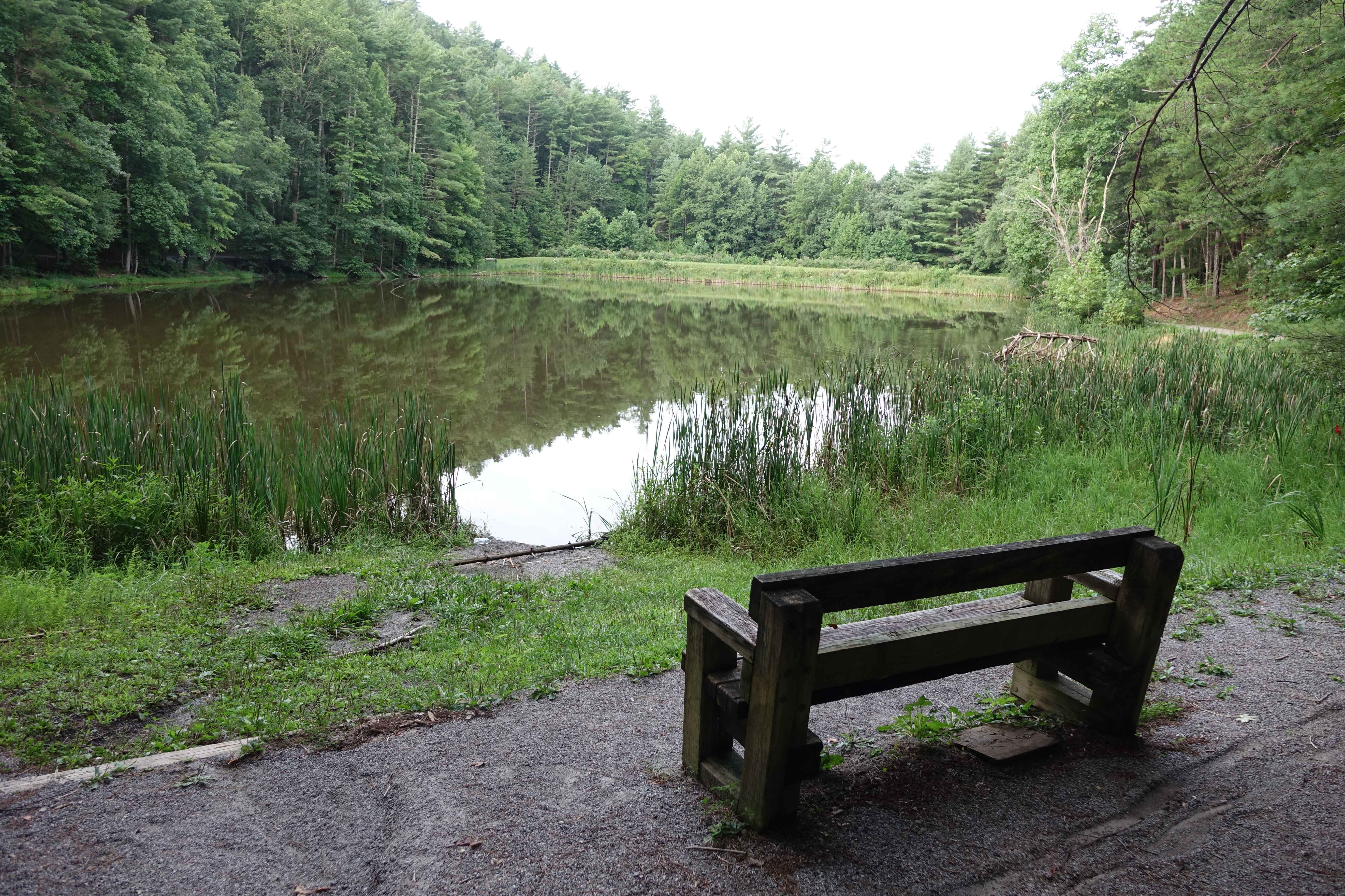
Brush Creek Road
Total Miles
4.7
Tech Rating
Easy
Best Time
Fall, Summer, Spring
Learn more about Buck Bald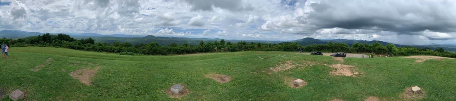
Buck Bald
Total Miles
2.2
Tech Rating
Easy
Best Time
Spring, Summer, Fall, Winter
Learn more about Buffalo Mountain - Fire Tower Climb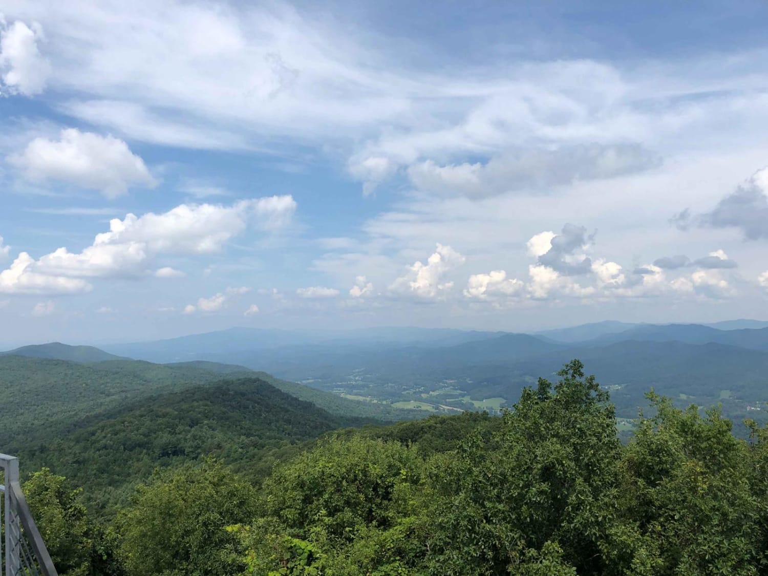
Buffalo Mountain - Fire Tower Climb
Total Miles
4.7
Tech Rating
Easy
Best Time
Summer, Spring, Fall
Learn more about Bullet Creek Ellis Creek 44
Bullet Creek Ellis Creek 44
Total Miles
8.1
Tech Rating
Easy
Best Time
Winter, Fall, Summer, Spring
Learn more about Bumpus Cove Trail USFS190
Bumpus Cove Trail USFS190
Total Miles
7.8
Tech Rating
Easy
Best Time
Spring, Summer, Fall
Learn more about Burns Bottoms Road
Burns Bottoms Road
Total Miles
4.0
Tech Rating
Easy
Best Time
Spring, Summer, Fall, Winter
Learn more about Buzz Kill Hill 
Buzz Kill Hill
Total Miles
0.4
Tech Rating
Moderate
Best Time
Spring, Fall, Summer, Winter
Learn more about Campground Connector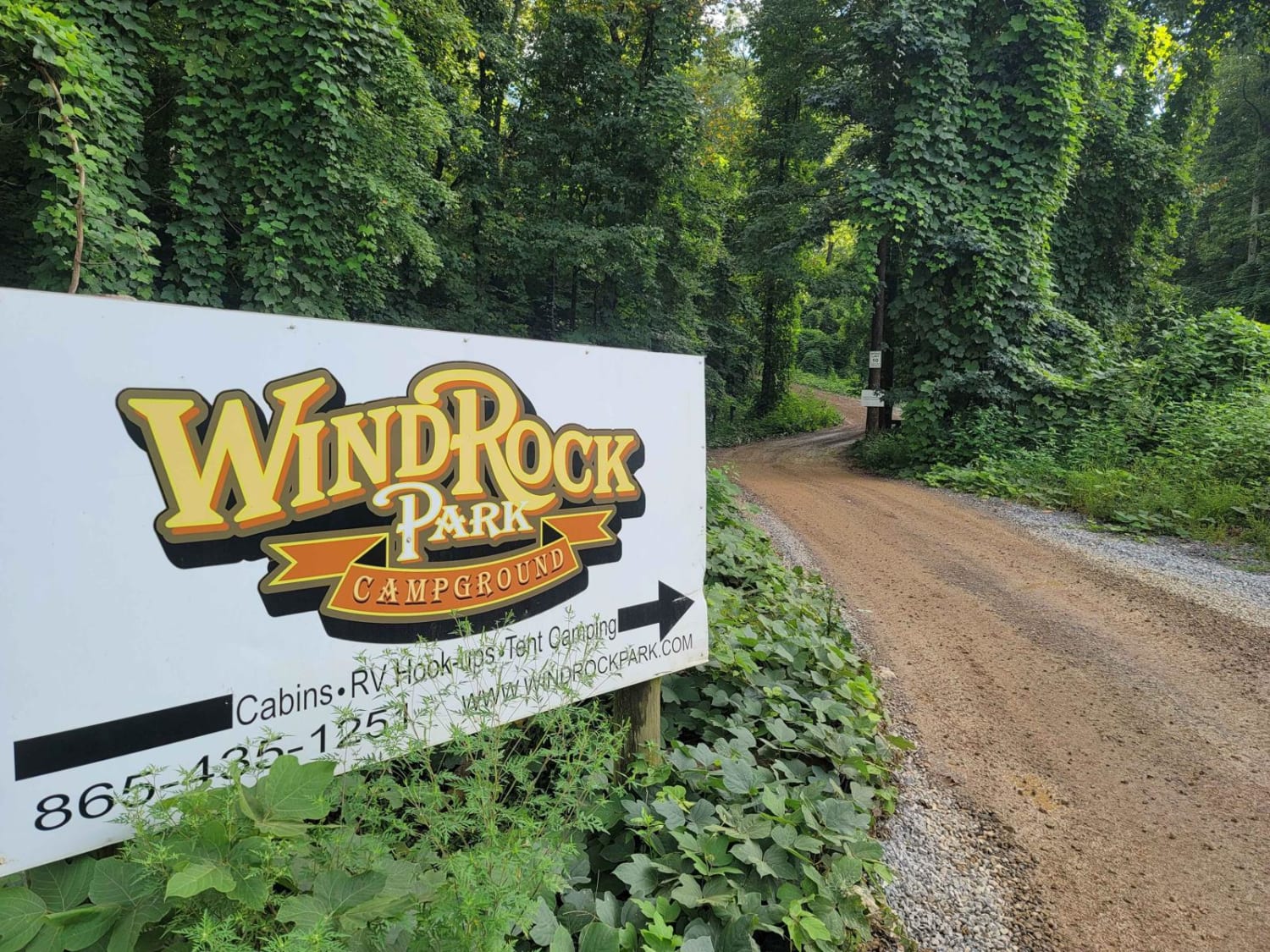
Campground Connector
Total Miles
2.2
Tech Rating
Easy
Best Time
Spring, Summer, Fall, Winter
Learn more about Cane Creek Road - FS 57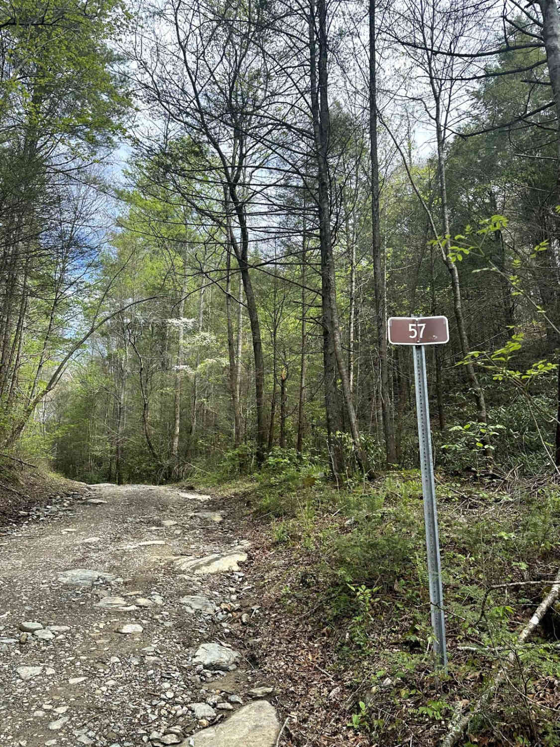
Cane Creek Road - FS 57
Total Miles
2.2
Tech Rating
Easy
Best Time
Spring
Learn more about Catoosa Headrick Road
Catoosa Headrick Road
Total Miles
3.3
Tech Rating
Easy
Best Time
Spring, Summer, Fall, Winter
Learn more about Catoosa WMA Noah Hambey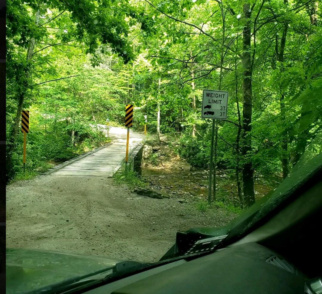
Catoosa WMA Noah Hambey
Total Miles
18.0
Tech Rating
Easy
Best Time
Spring, Summer, Fall, Winter
Learn more about Cedar Forest Road
Cedar Forest Road
Total Miles
2.7
Tech Rating
Easy
Best Time
Spring, Fall, Summer
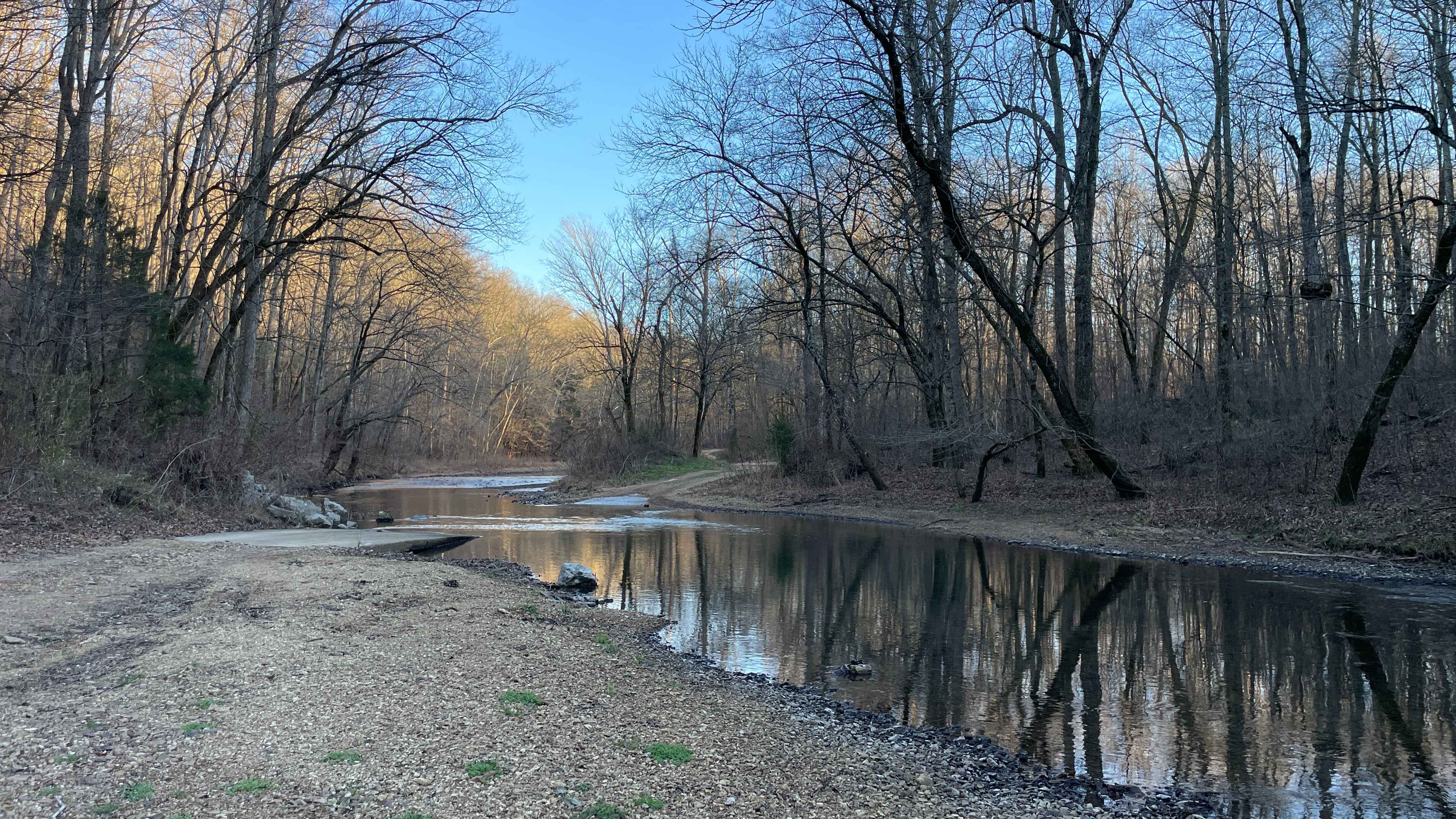
Learn more about Cheek's Bend Road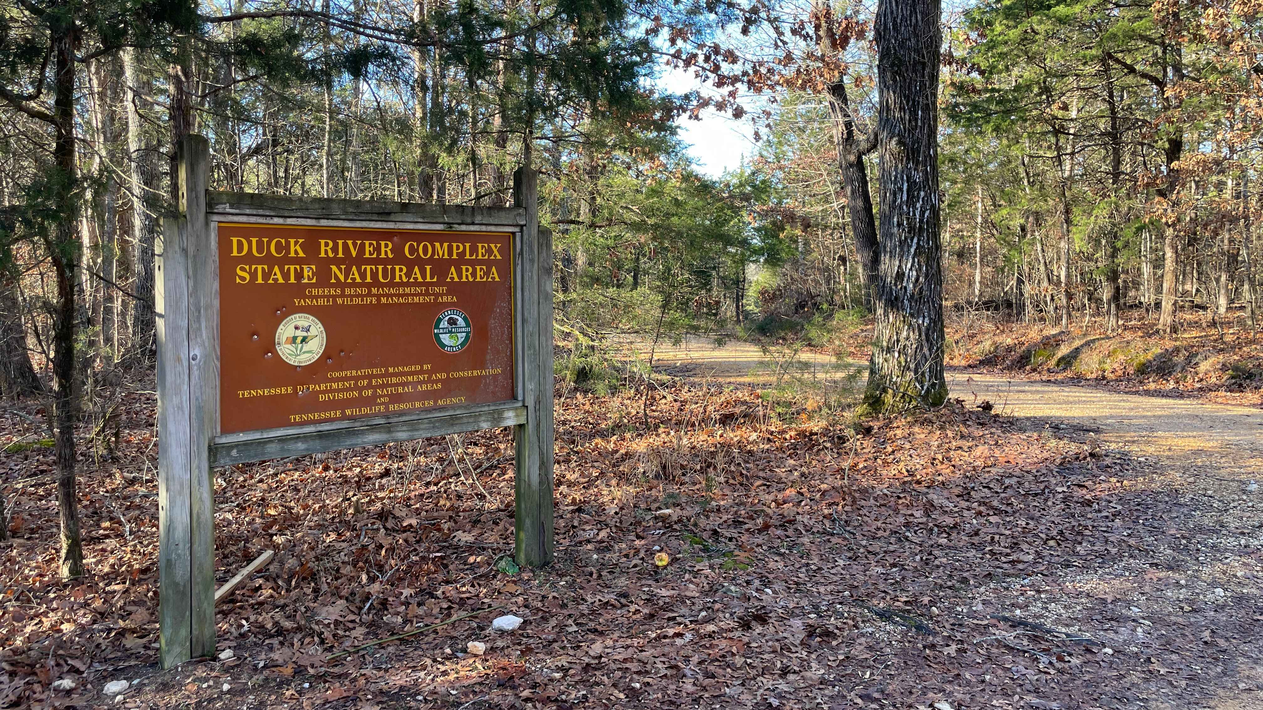
Cheek's Bend Road
Total Miles
2.0
Tech Rating
Easy
Best Time
Spring, Summer, Fall, Winter
Learn more about Chilhowee Ridge (Oswald-77)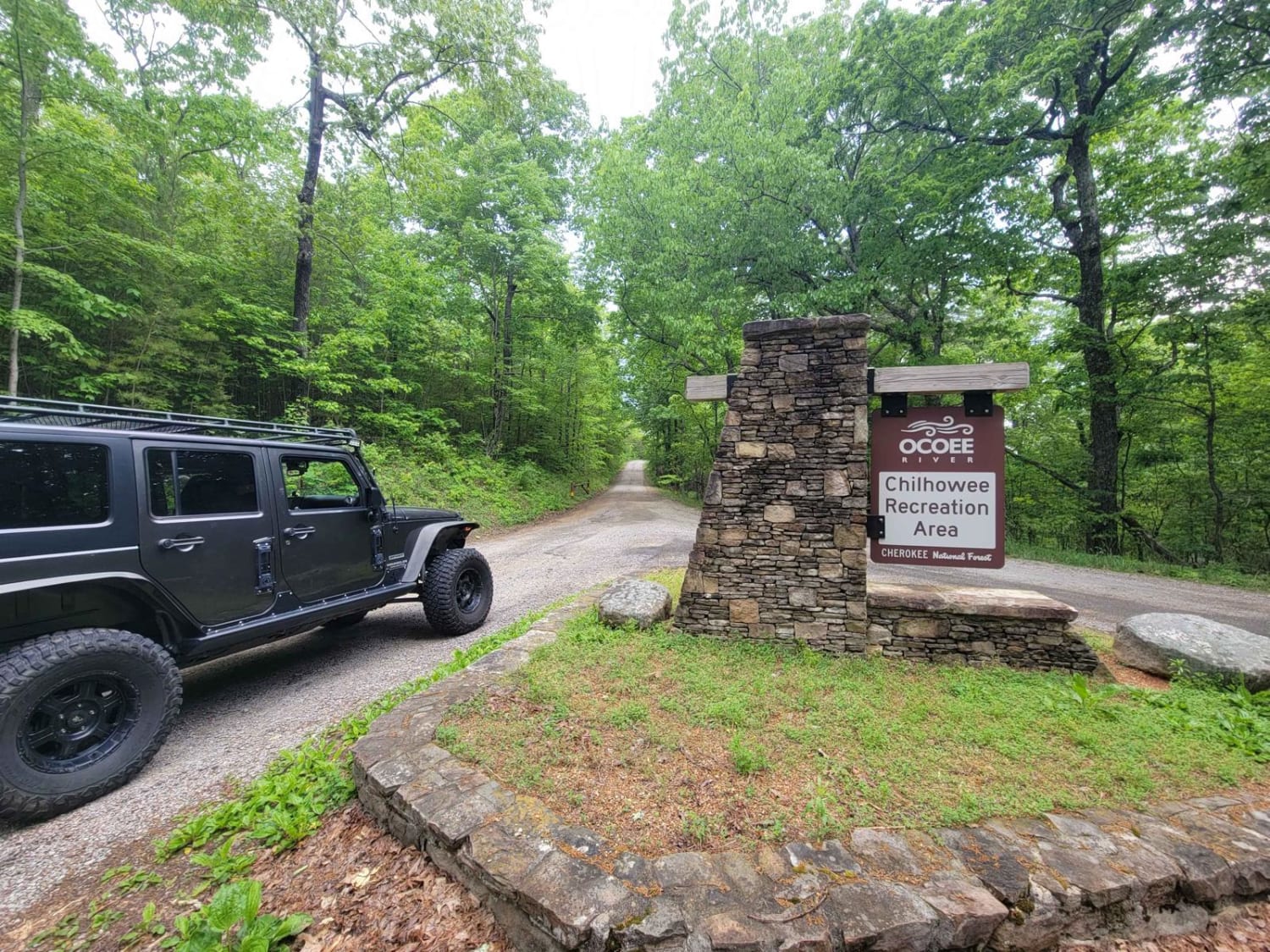
Chilhowee Ridge (Oswald-77)
Total Miles
9.7
Tech Rating
Easy
Best Time
Spring, Summer, Fall, Winter
ATV trails in Tennessee
Learn more about 1 - Launchpad
1 - Launchpad
Total Miles
1.2
Tech Rating
Easy
Best Time
Spring, Summer, Fall, Winter
Learn more about 11 - Ground Control
11 - Ground Control
Total Miles
0.3
Tech Rating
Easy
Best Time
Spring, Summer, Fall, Winter
UTV/side-by-side trails in Tennessee
Learn more about 1 - Launchpad
1 - Launchpad
Total Miles
1.2
Tech Rating
Easy
Best Time
Spring, Summer, Fall, Winter
Learn more about 11 - Ground Control
11 - Ground Control
Total Miles
0.3
Tech Rating
Easy
Best Time
Spring, Summer, Fall, Winter
The onX Offroad Difference
onX Offroad combines trail photos, descriptions, difficulty ratings, width restrictions, seasonality, and more in a user-friendly interface. Available on all devices, with offline access and full compatibility with CarPlay and Android Auto. Discover what you’re missing today!